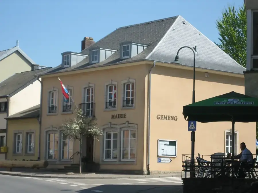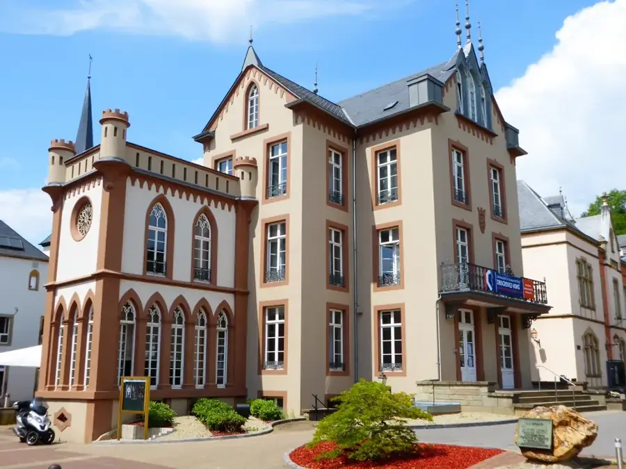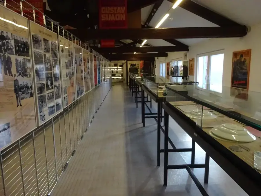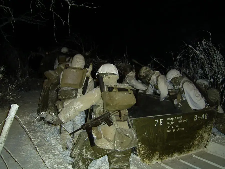
General Patton Memorial🏛 museum
General Patton Memorial is a museum in Luxembourg, commemorating General George S. Patton.
🌐 patton.lu🕒 Tu-Su 10:00-17:00
Plizio Visual Lab
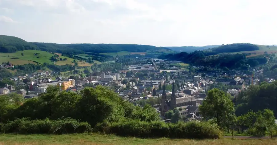
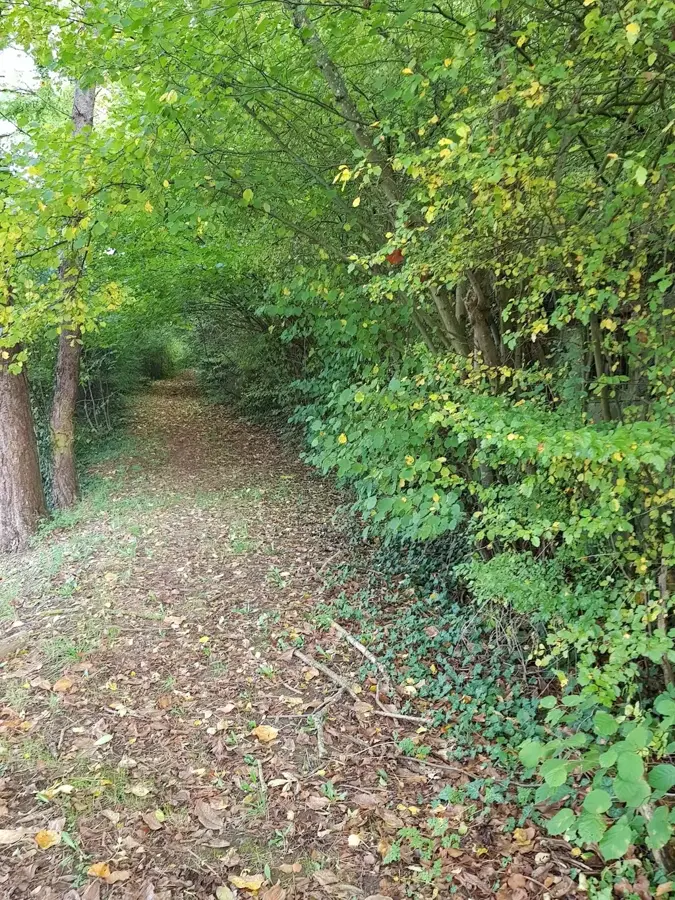
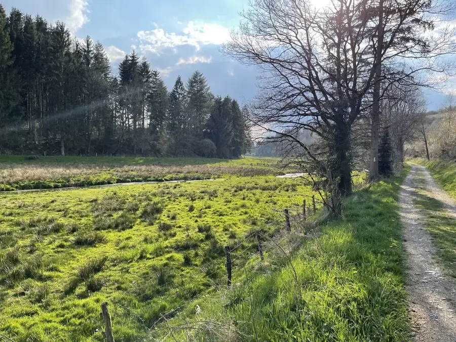
The Saueruecht Nature Reserve in the municipality of Erpeldange-sur-Sûre is characterized by its striking rock formations and valuable hillside forests. Geologically, the area belongs to the Luxembourg Sandstone formation, where erosion has carved spectacular cliffs and narrow crevices. The vegetation is dominated by ravine forests containing ash, maple, and lime trees that flourish on the scree-covered soils of the steep northern slopes. Historically, the area was utilized for extracting building materials, with traces of old stone quarries still visible today. Since being designated a protected area, it has served as a sanctuary for rare plants such as the Hart's-tongue fern and various moss species. Saueruecht also gives panoramic views over the Sûre valley and is a vital component of the ecological network in central Luxembourg. Scientifically, the area is of high interest for studying the microclimatic conditions within rock fissures.
The most pleasant time to visit is Jun–Aug.
| Jan | Feb | Mar | Apr | May | Jun | Jul | Aug | Sep | Oct | Nov | Dec | |
|---|---|---|---|---|---|---|---|---|---|---|---|---|
| Avg °C | 0 | 1 | 4 | 8 | 12 | 16 | 18 | 17 | 14 | 9 | 5 | 1 |
| Rain mm | 75 | 64 | 63 | 49 | 75 | 75 | 74 | 81 | 59 | 67 | 72 | 84 |
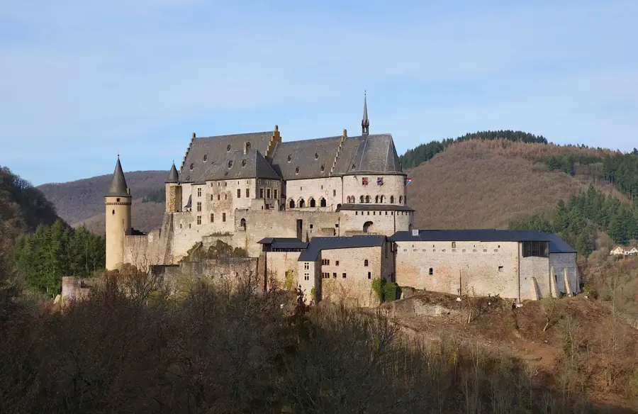
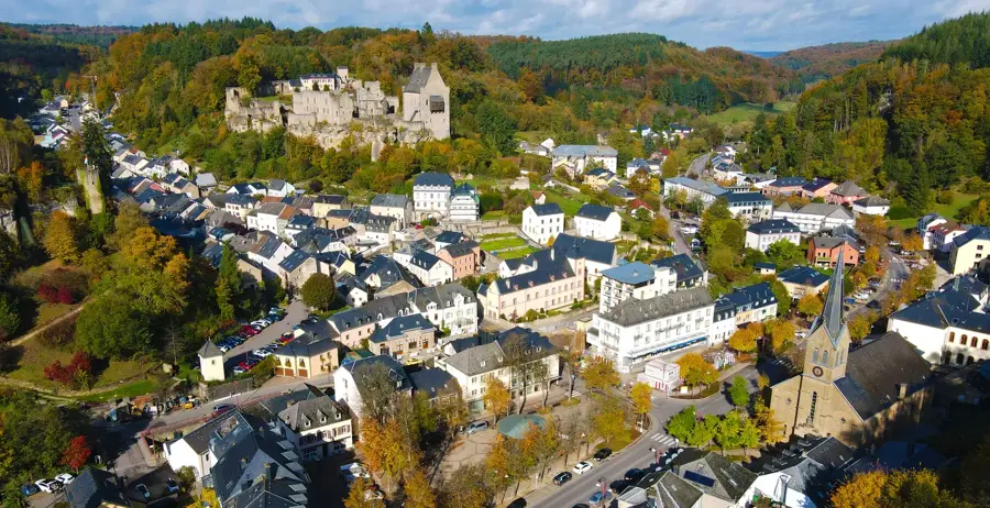
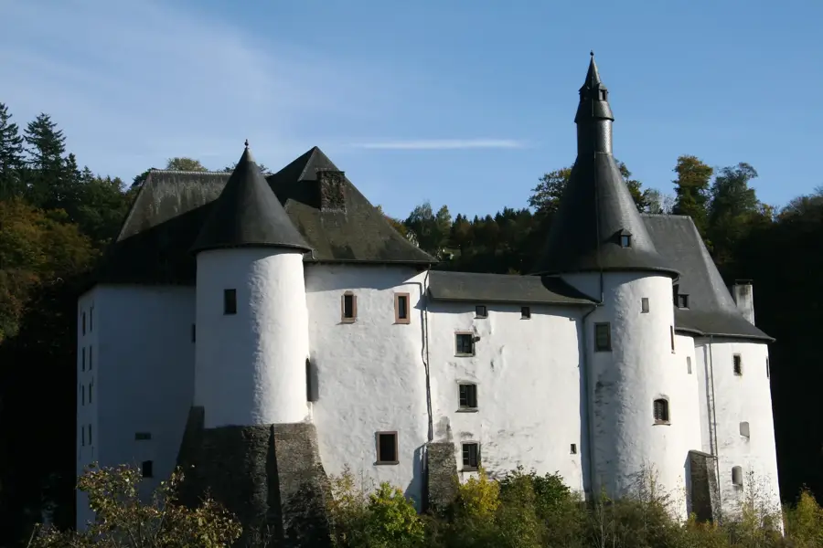
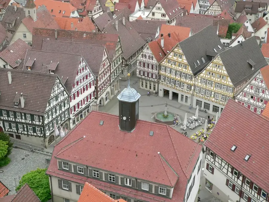
Notable places around
Where do you start? We build the route here, with stops and country notes along the way.
© OpenStreetMap contributors · OpenRouteService
General Patton Memorial is a museum in Luxembourg, commemorating General George S. Patton.
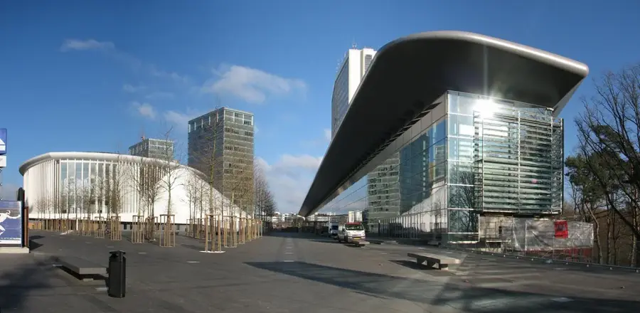
Centre des Arts Pluriels Ed Juncker is a theatre in Luxembourg, offering diverse arts.
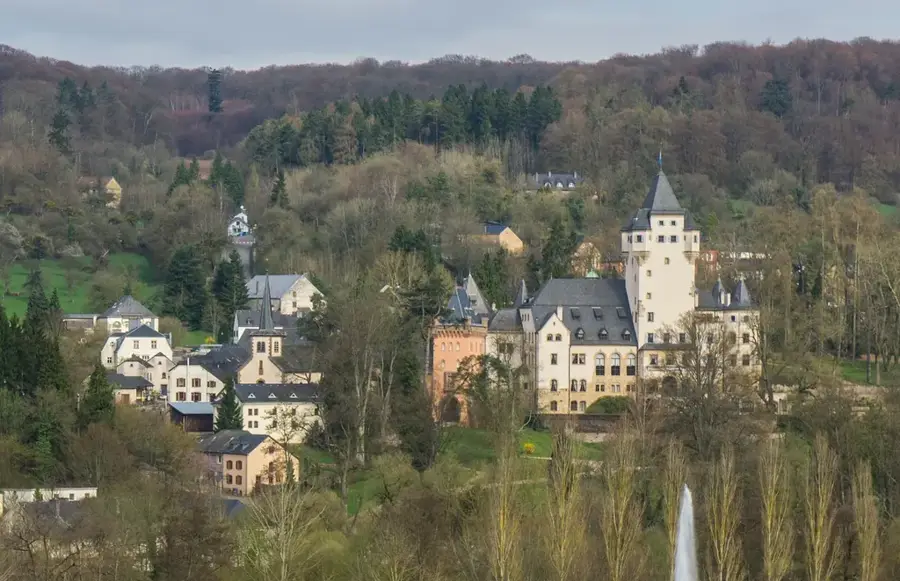
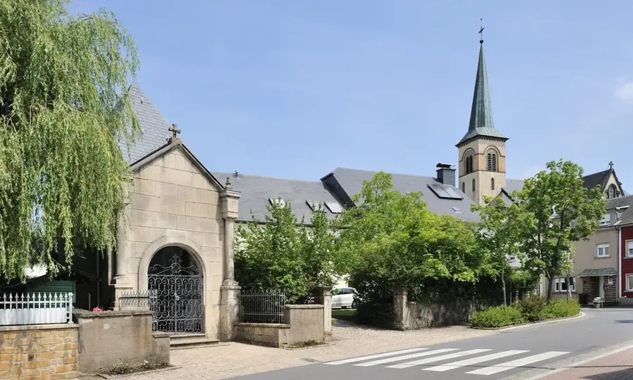
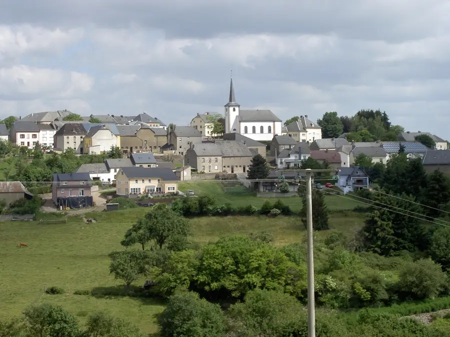
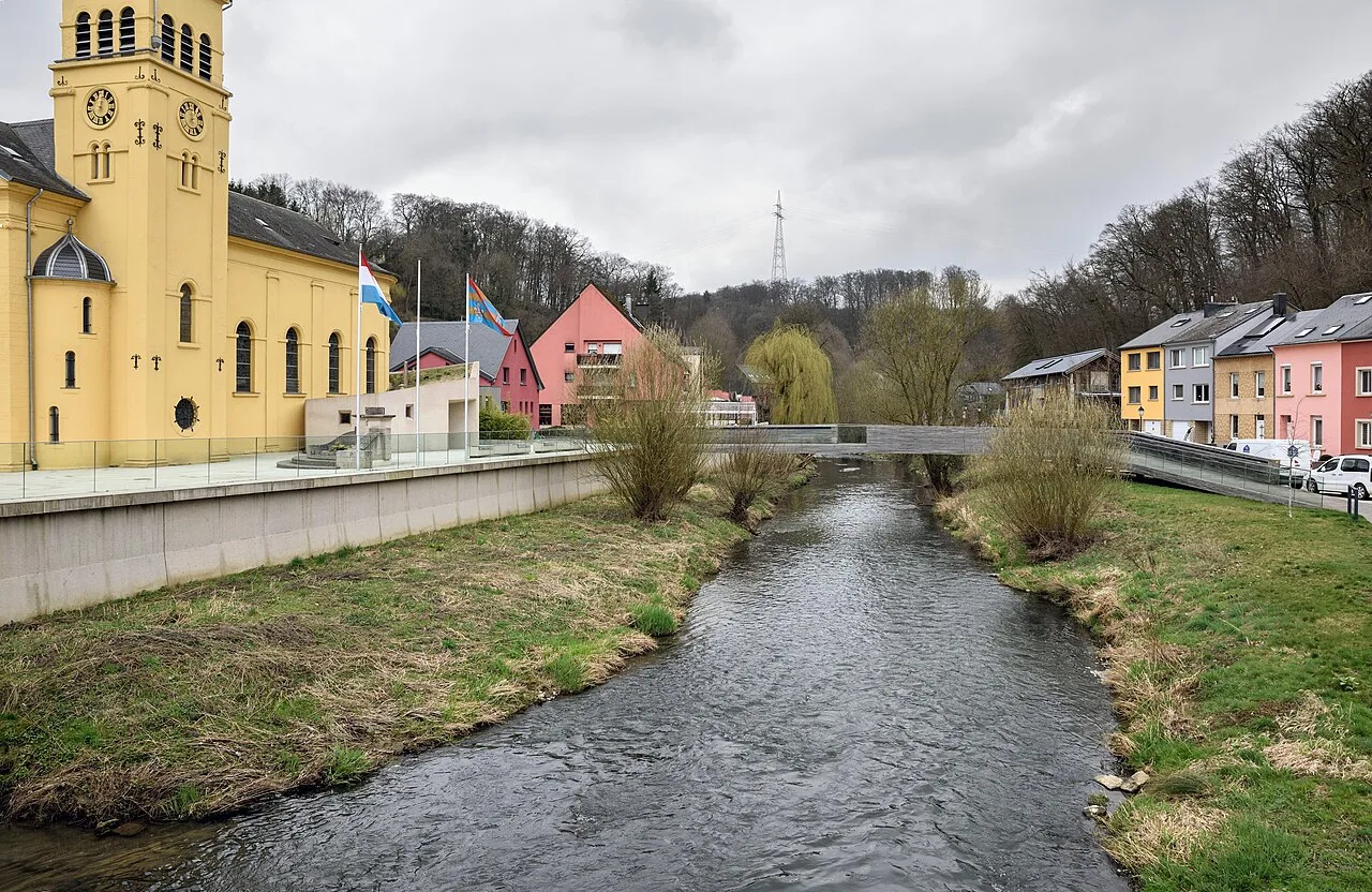
Saint-Celse is a church building in Luxembourg, dedicated to Saint Celsus.
Conversion-de-Saint-Paul is a church building in Erpeldange, Luxembourg, dedicated to the Conversion of Paul.
Ditgesbaach is a nature reserve in Luxembourg, a valley with distinctive flora and fauna.
Kalléksuewen is a viewpoint in Luxembourg, offering a wide view over the landscape.
Um Kalléksuewen is a ruin in Luxembourg, a former lime kiln and quarry.