Plizio Visual Lab
Saueruecht Nature Reserve
Weather…
Water temperature…
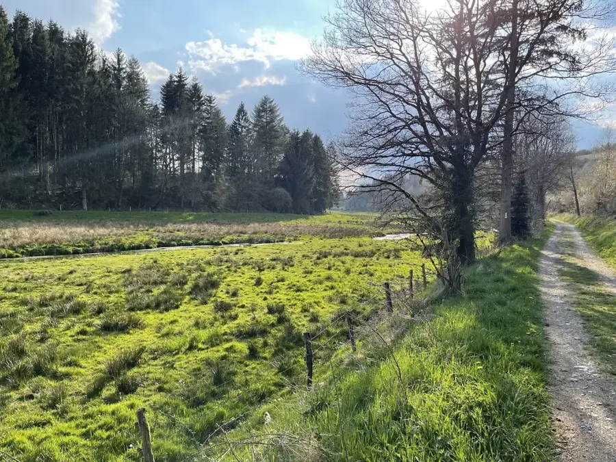
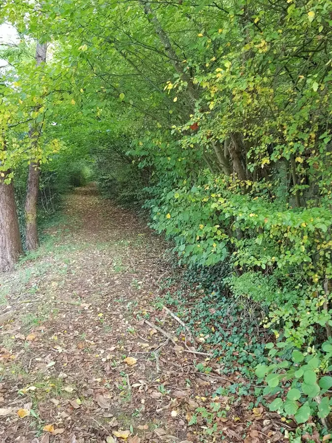
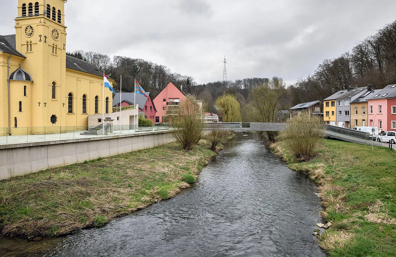
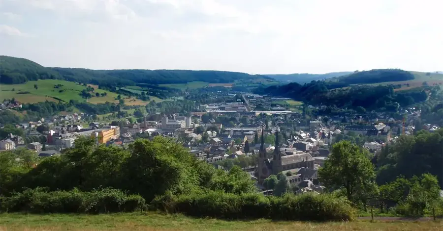
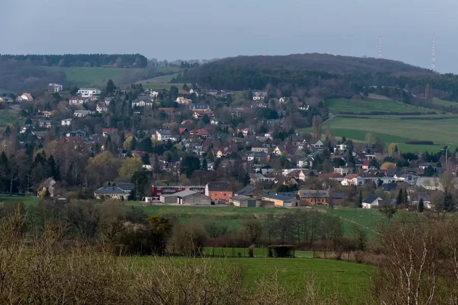
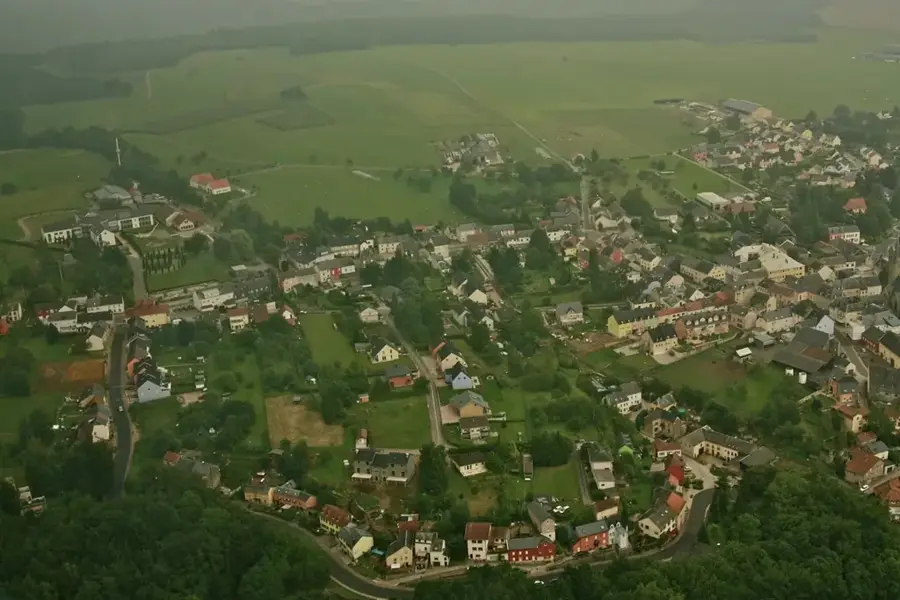
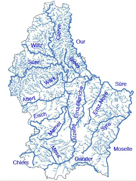
The Saueruecht Nature Reserve is located in the municipalities of Beaufort and Berdorf on the banks of the Sauer River. Officially designated as a protected zone in 2010, it comprises steep rocky slopes and ravine forests typical of the Little Switzerland region of Luxembourg. The geological structure of Luxembourg sandstone shapes the relief and creates a cool, humid microclimate that provides well-suited conditions for rare ferns and mosses. Of particular protection value are the mixed slope forests with a high proportion of deadwood, which serves as a habitat for specialized beetle species and cavity-nesting birds. The area is part of the cross-border German-Luxembourgish Nature Park, emphasizing the importance of international cooperation in nature conservation. Challenging hiking trails lead through Saueruecht, offering visitors insights into undisturbed forest development phases, while core zones remain untouched for species protection.
- Location: Luxembourg
- Top sights: Saint-Celse · Ditgesbaach · General Patton Memorial
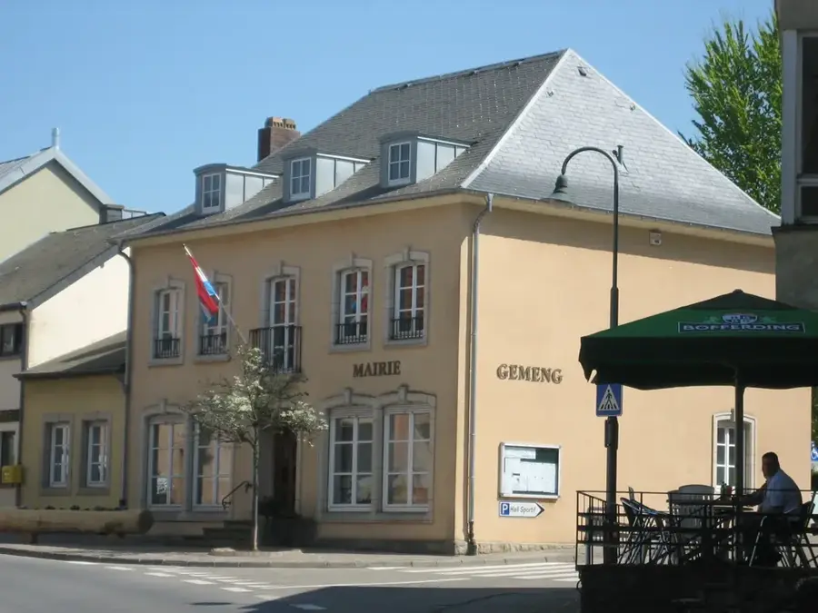
- Nearby: Colmar-Berg (4 km)
Best time to visit & climate
The most pleasant time to visit is Jun–Aug.
| Jan | Feb | Mar | Apr | May | Jun | Jul | Aug | Sep | Oct | Nov | Dec | |
|---|---|---|---|---|---|---|---|---|---|---|---|---|
| Avg °C | 0 | 1 | 4 | 8 | 12 | 16 | 18 | 17 | 14 | 9 | 5 | 1 |
| Rain mm | 75 | 64 | 63 | 49 | 75 | 75 | 74 | 81 | 59 | 67 | 72 | 84 |
📋 Practical info
Geography
Facts
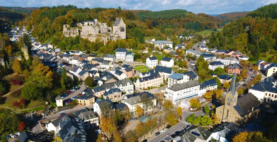
- Near Ettelbruck
- Luzula-beech forests
- Habitat for the wildcat
- Rugged slate rocks
Explore nearby
Notable places around
Route planner — Car & Motorhome
Where do you start? We build the route here, with stops and country notes along the way.
© OpenStreetMap contributors · OpenRouteService
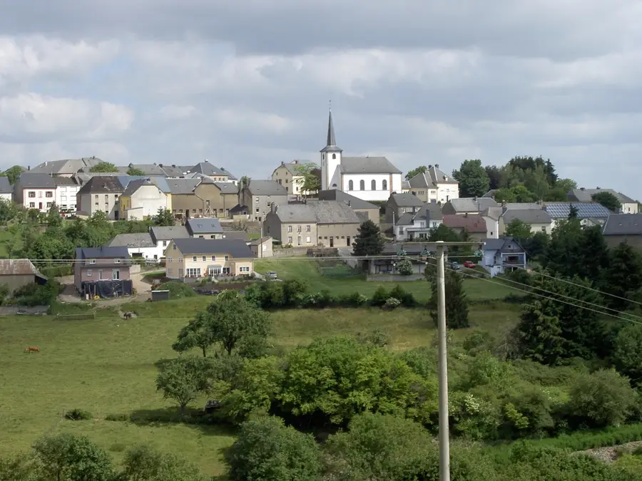
Sights in the town Saueruecht Nature Reserve (10)
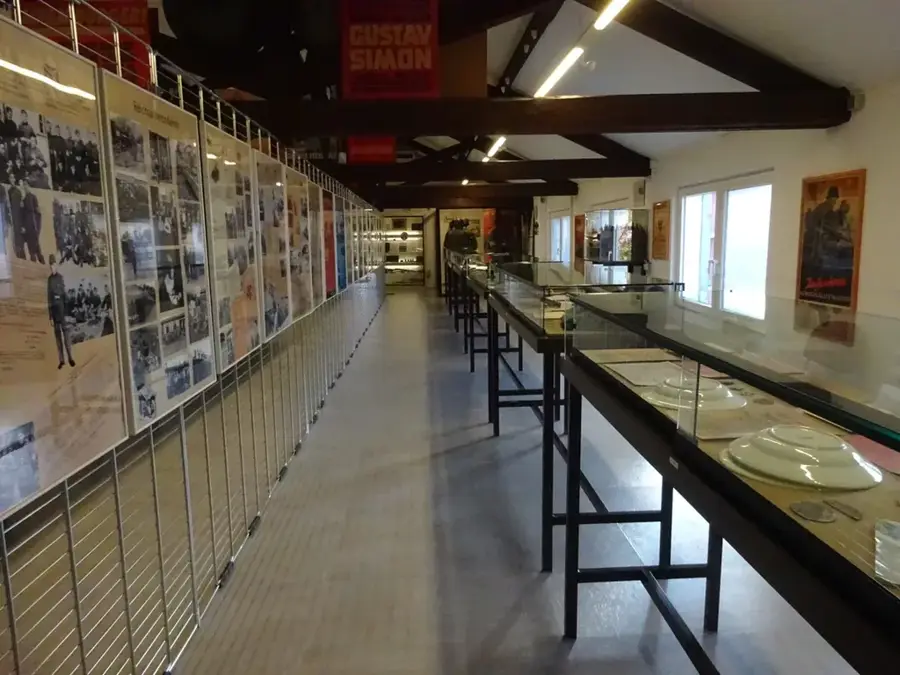
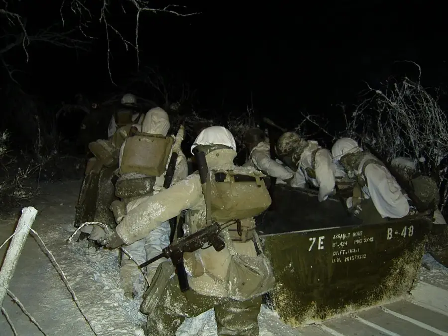
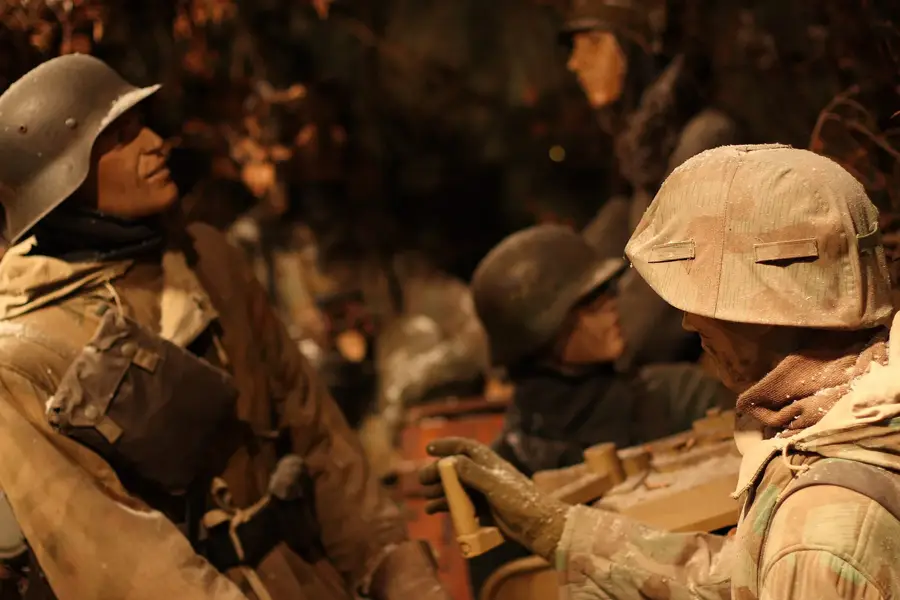
General Patton Memorial🏛 museum
The General Patton Memorial commemorates the WWII US general.
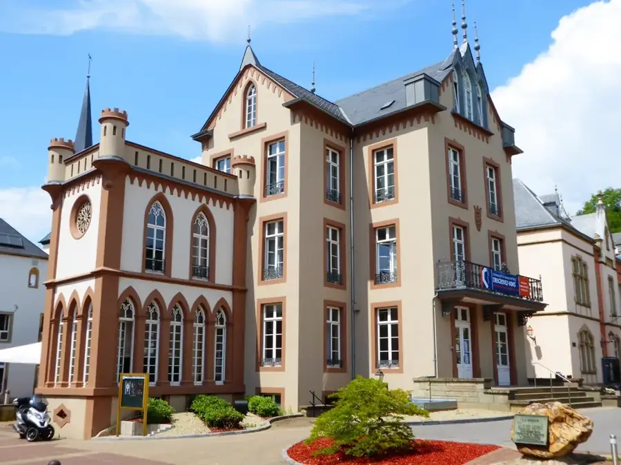
Centre des Arts Pluriels Ed Juncker
Centre des Arts Pluriels Ed Juncker is a theatre in Ettelbruck.
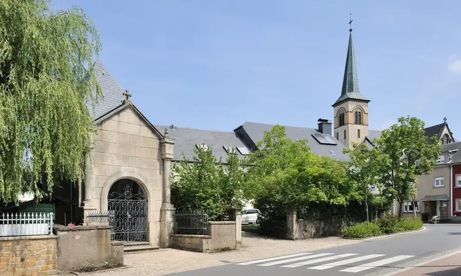
Al Synagog Ettelbréck⛪ church
Al Synagog Ettelbréck is a former synagogue, now a church.
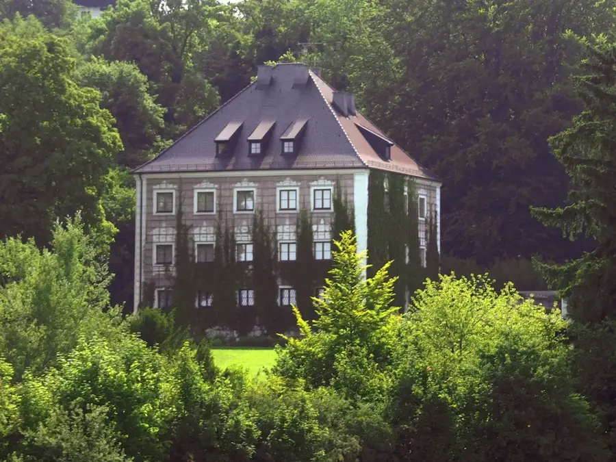
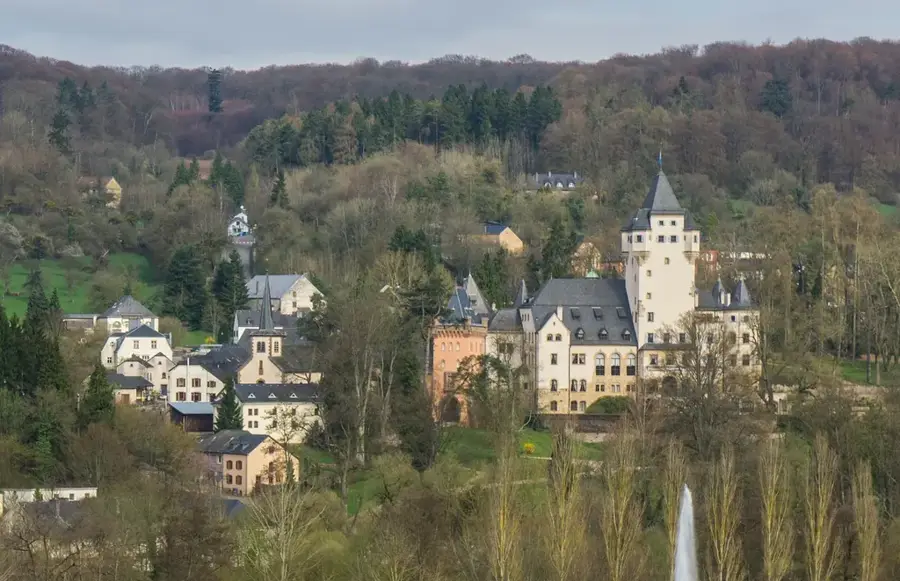
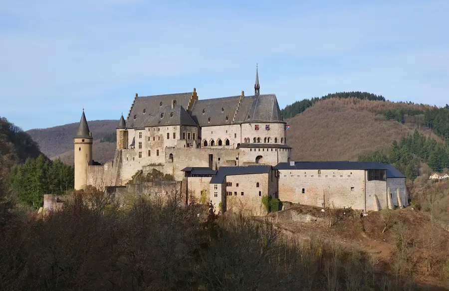
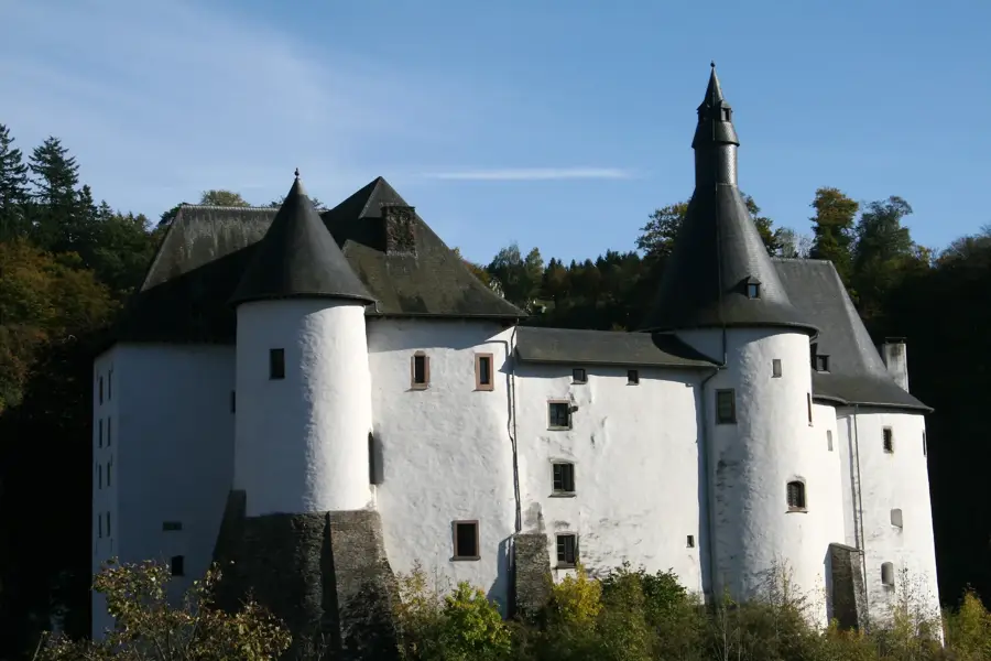
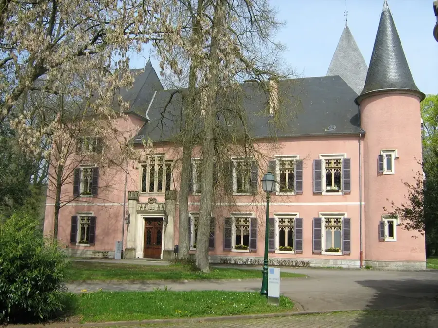
Château d'Erpeldange🏰 castle
Château d'Erpeldange is a castle in Luxembourg.
Conversion-de-Saint-Paul
Conversion-de-Saint-Paul is a church building in Erpeldange, Luxembourg.
Roman Villa Schieren
Roman Villa Schieren is an archaeological site in Luxembourg.
Kalléksuewen
Kalléksuewen is a viewpoint offering a view of the landscape.
Sights nearby
Frequently asked questions
What is the Saueruecht?
Where is this forest area located?
Are the hiking trails challenging?
What views does the forest offer?
Can rare tree species be found there?
Saueruecht Nature Reserve: where is it located?
Saueruecht Nature Reserve: what is there to see?
Saueruecht Nature Reserve: when is the best time to visit?
Saueruecht Nature Reserve: why is it worth visiting?

Nearby cities


History & landmarks
Nature
More places