Plizio Visual Lab
Dahl
ℹ️Practical info — Dahl
▾
🌤 Weather — 5 days
📍 Nearby
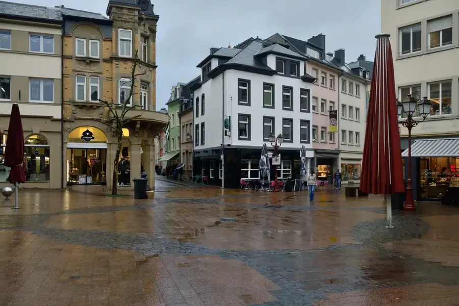
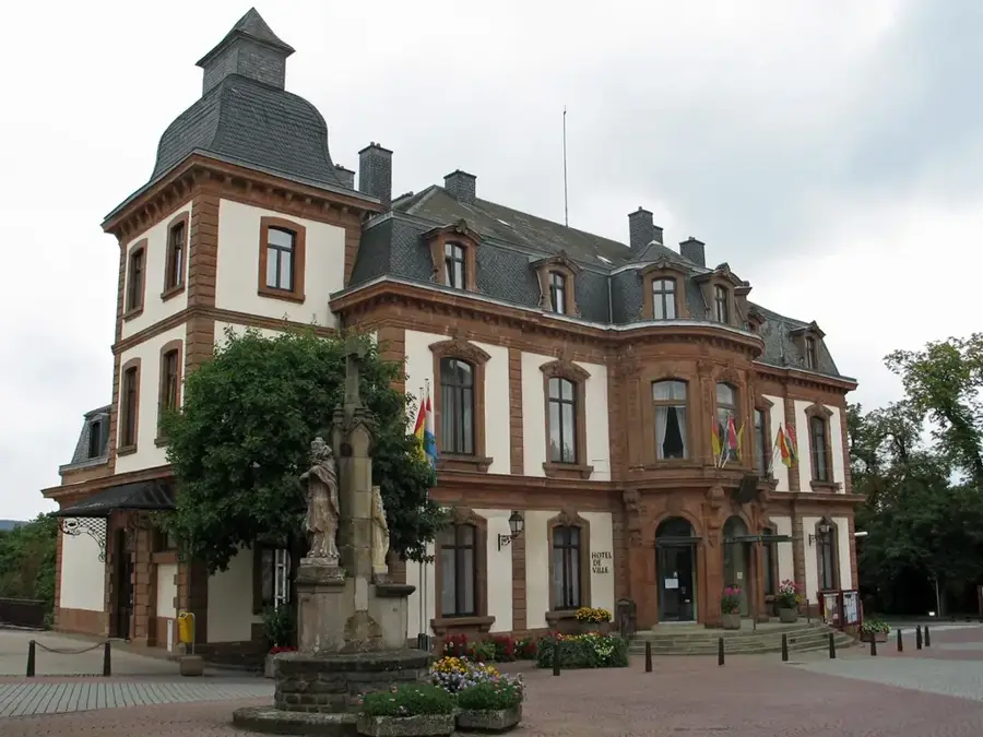
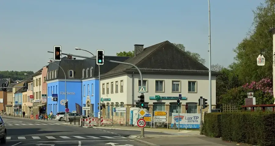
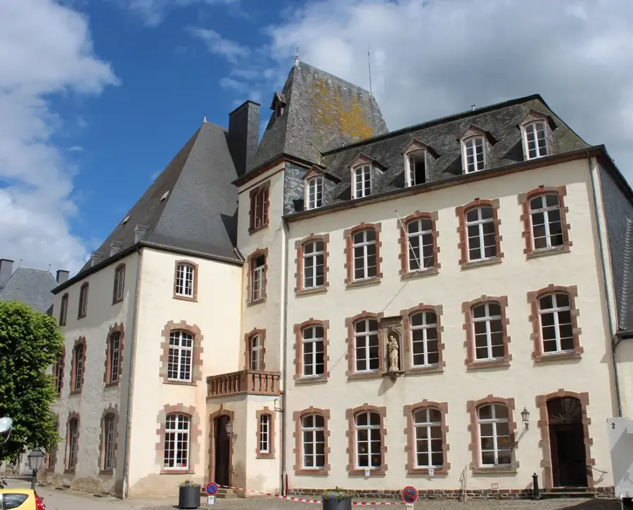
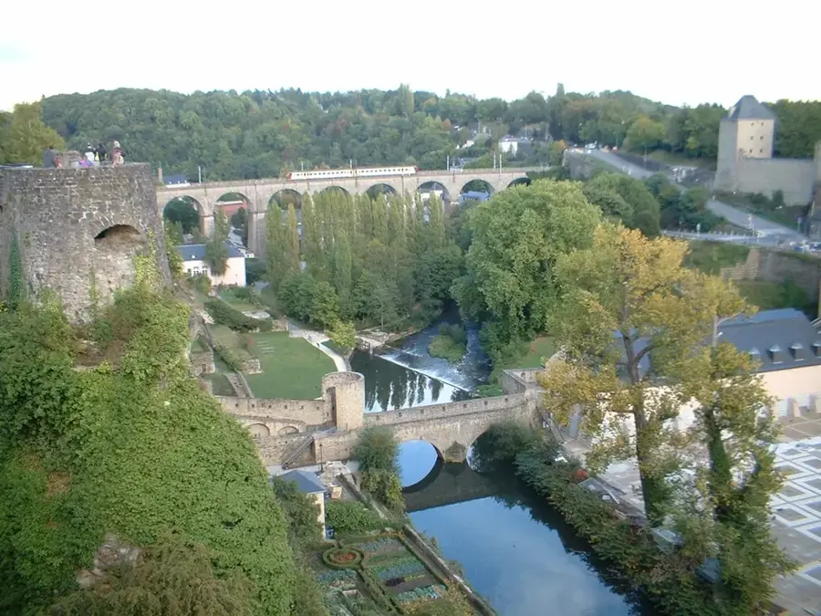
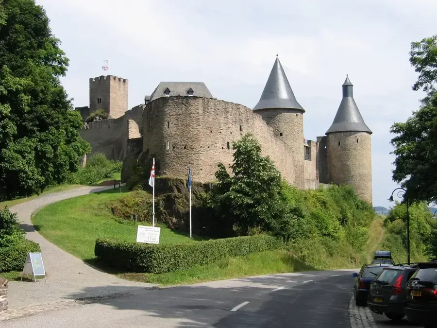
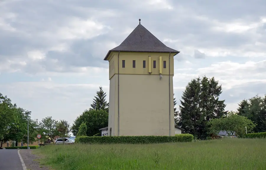
Sights nearby
💡 Tips
- The hilly Éislek region is excellent for hiking; bring sturdy shoes for the forested trails.
- Explore the historic Goesdorf antimony mine nearby for a unique regional excursion.
- Weather in the northern hills can change quickly; always dress in layers.
- Use the free national public transport to easily reach nearby Wiltz for more dining options.
🍽 Food
Ask for this air-dried Ardennes ham in traditional inns around the Wiltz area.
Warm up with this traditional green bean soup at a rustic Éislek restaurant.
Taste locally brewed beer from the north, available in village taverns.
🛍 Shopping · 🧘 Quiet spots
Pick up locally produced honey from regional farm shops or markets.
Stock up on snacks and water in Wiltz before heading out into the Dahl hills.
Enjoy the deep silence and panoramic views of the dense northern woods.
Walk up to the elevated areas around the village for a sweeping view of the plateau.
Water temperature…
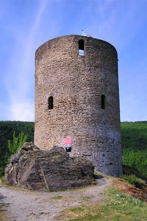
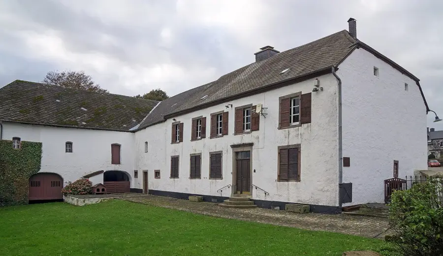
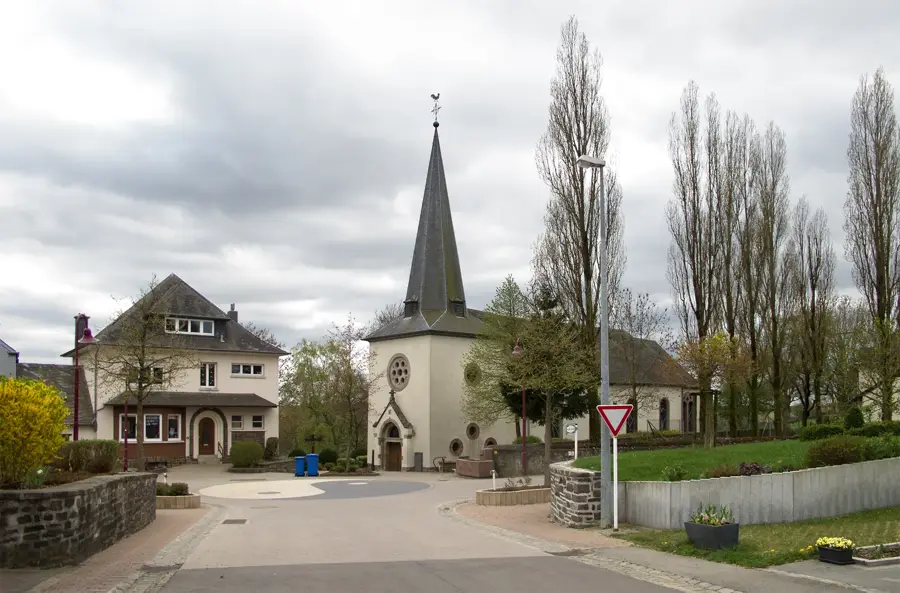
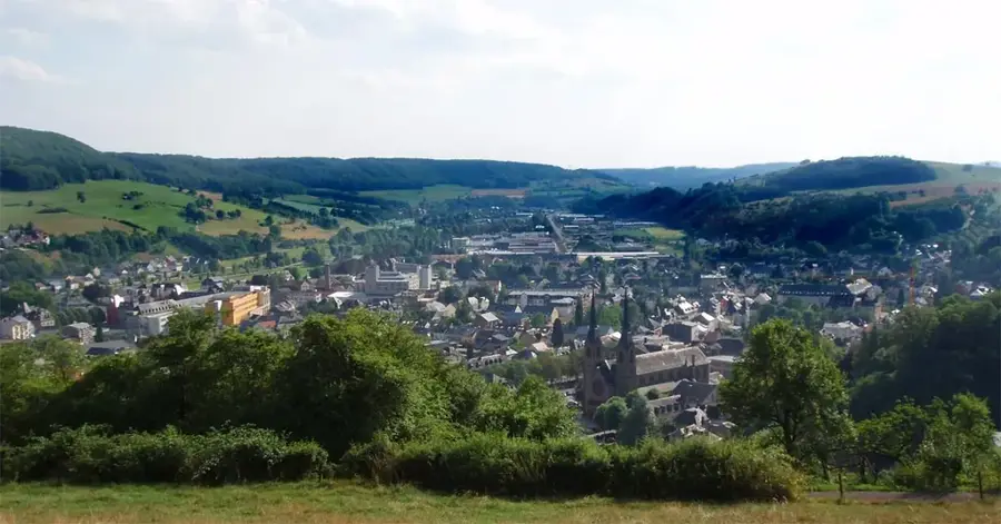
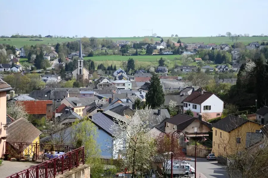
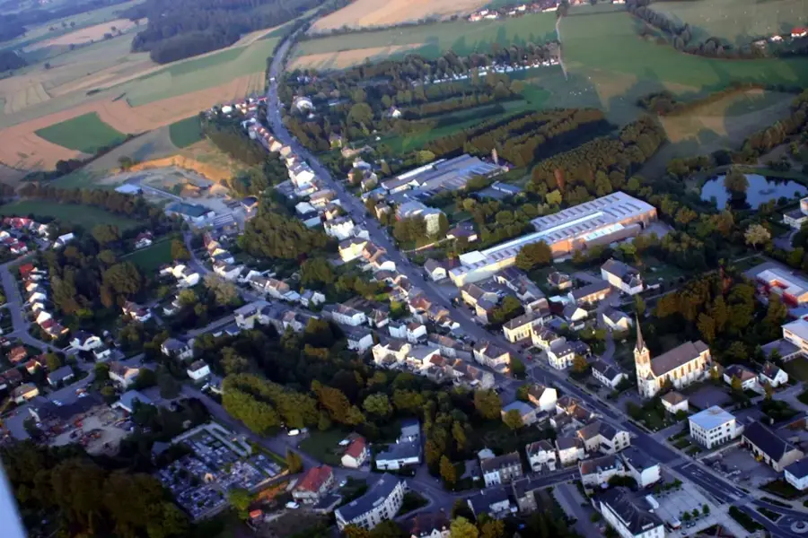
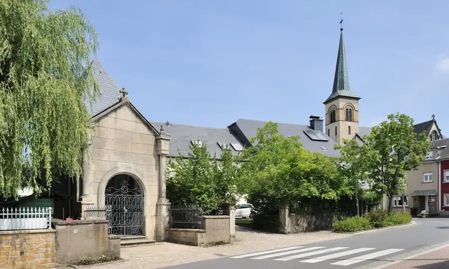
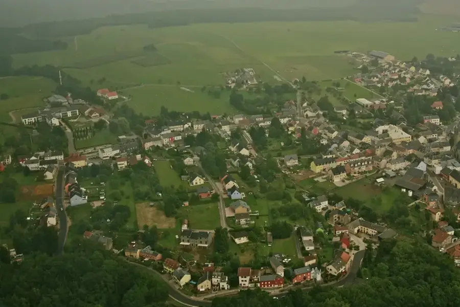
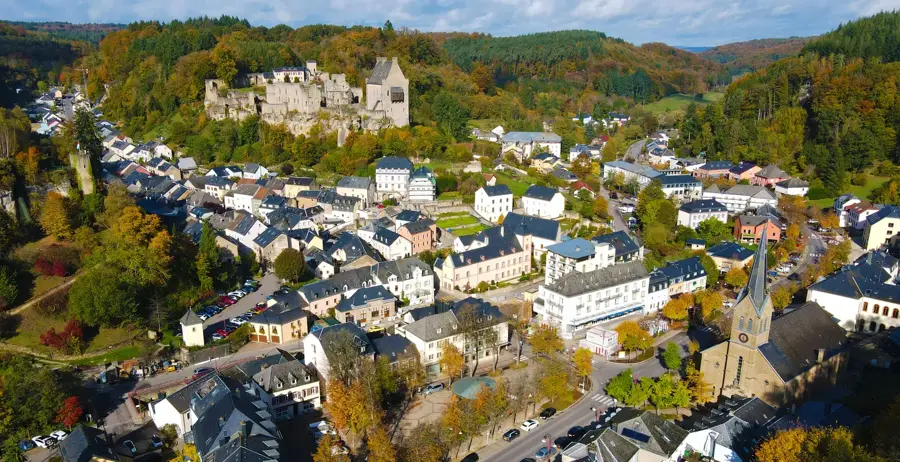
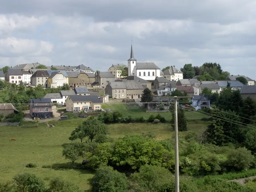
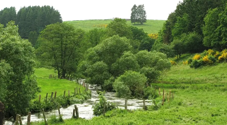
Dahl is an elevated village in the Ösling region of northern Luxembourg, belonging to the Goesdorf municipality. Perched on a high plateau visible from afar at over 500 meters, it has commanding views across the deeply carved valleys of the Wiltz and Sauer rivers. Historically, Dahl is defined by its austere but resilient agriculture, adapted to the harsh climatic conditions of the Ardennes. The village layout is compact, dominated by the parish church of Saint Vincent, whose prominent tower acts as a landmark for the region. In modern times, Dahl has gained significance through the installation of wind turbines, utilizing the plateau as one of the windiest sites in the country. Geographically, the area is characterized by its slate bedrock, which was formerly quarried in nearby mines. The tranquility and vastness of the landscape make Dahl an under-the-radar destination for nature photographers and hikers seeking to experience the northern Luxembourg mountains away from the main tourist routes.
- Location: Luxembourg
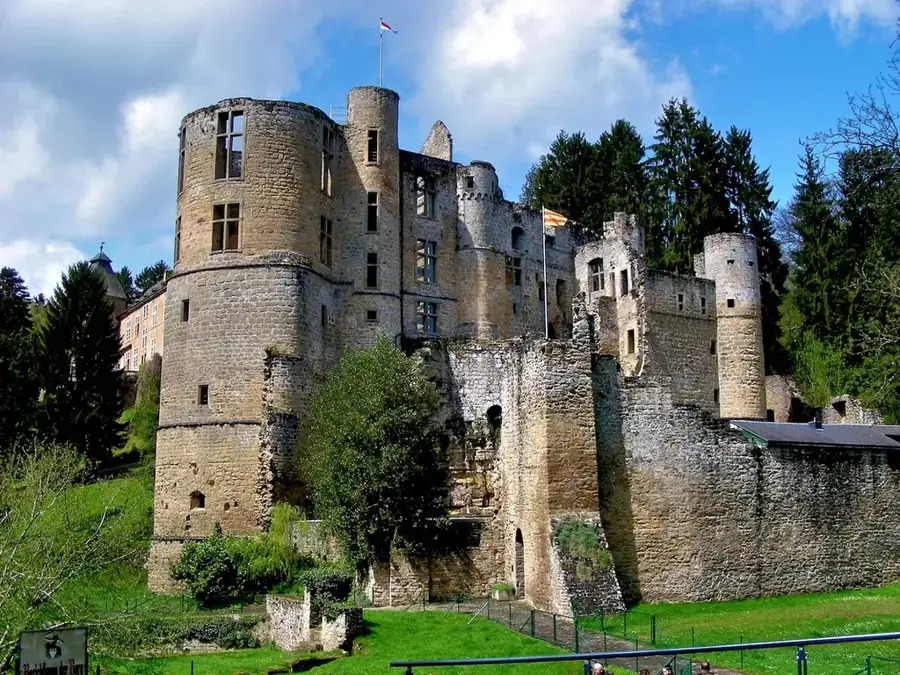
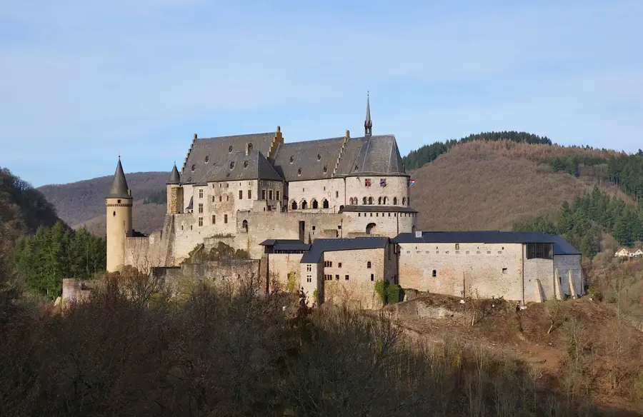
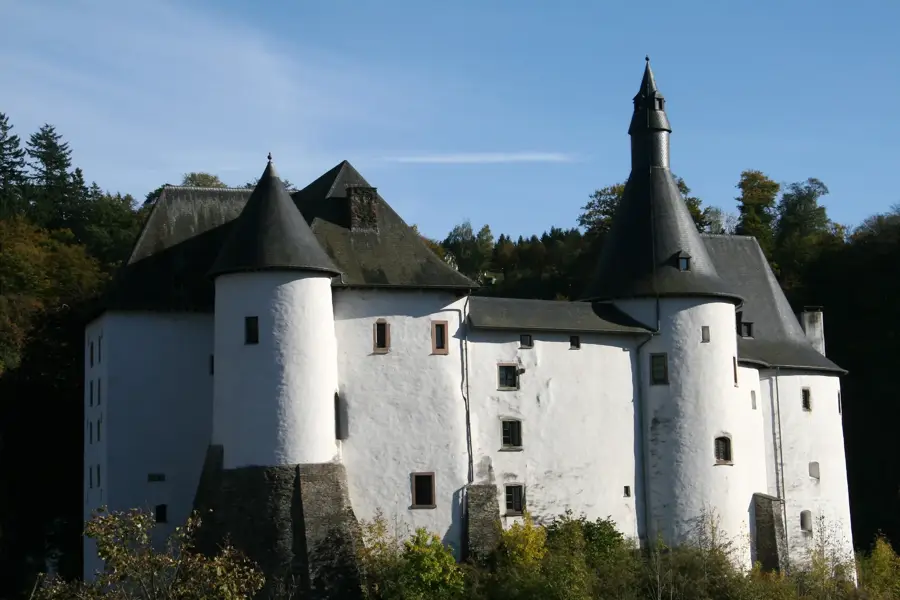
- Top sights: Saint-Donatus · Former quarry · Hide Out FEB/JUN 1944
- Nearby: Esch-sur-Sûre (6 km)
- Population: ~4.816
Best time to visit & climate
The most pleasant time to visit is Jun–Aug.
| Jan | Feb | Mar | Apr | May | Jun | Jul | Aug | Sep | Oct | Nov | Dec | |
|---|---|---|---|---|---|---|---|---|---|---|---|---|
| Avg °C | 0 | 1 | 4 | 8 | 12 | 16 | 18 | 17 | 14 | 9 | 5 | 1 |
| Rain mm | 75 | 64 | 63 | 49 | 75 | 75 | 74 | 81 | 59 | 67 | 72 | 84 |
Geography
Facts
- Dahl is situated at an elevation of up to 512 meters above sea level.
- One of Luxembourg's first large-scale wind turbines is located in Dahl.
- The Saint Vincent church was built in its current form in the year 1721.
- The village was historically known for the production of tanbark (oak bark).
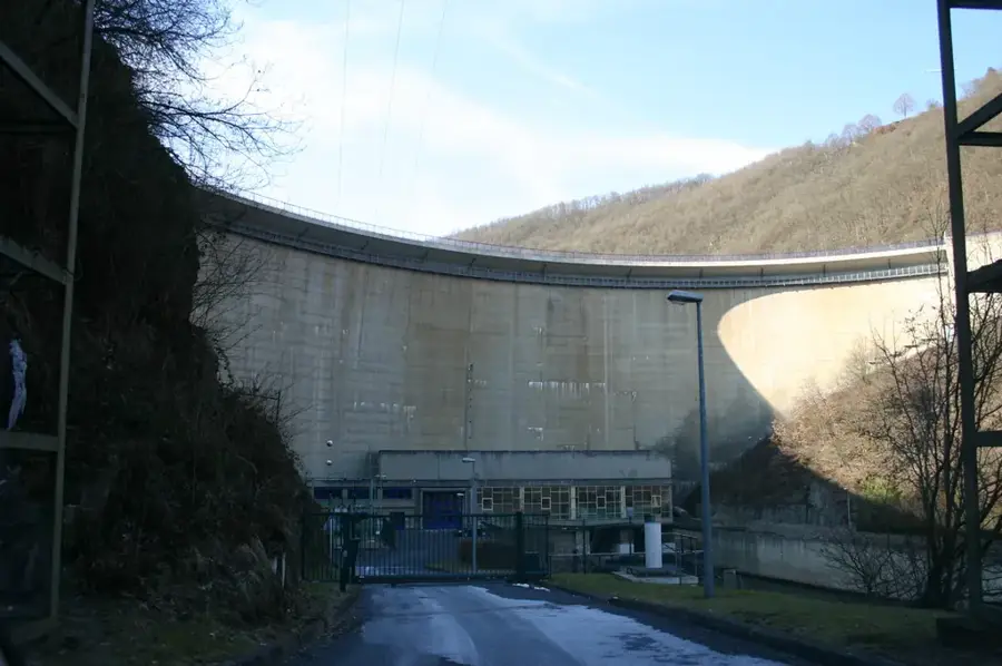
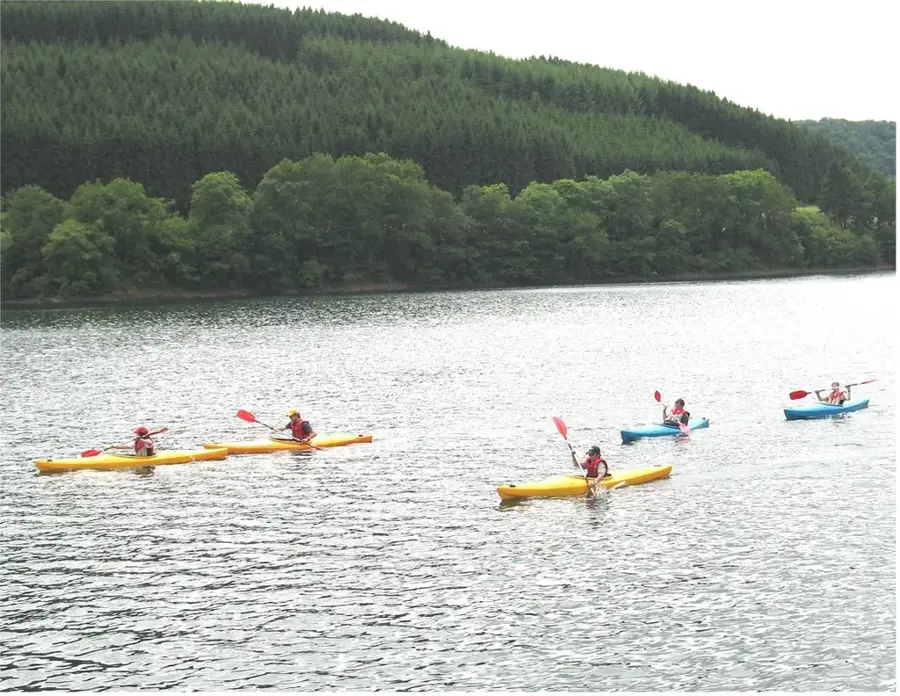
- Dahl is located in the immediate vicinity of the Upper Sûre Nature Park.
- The nearby slate quarries remained operational until the 20th century.
Explore nearby
Notable places around
Route planner — Car & Motorhome
Where do you start? We build the route here, with stops and country notes along the way.
© OpenStreetMap contributors · OpenRouteService
Sights in the town Dahl (9)
Frequently asked questions
Why is Dahl interesting for hikers?
How high is Dahl situated?
Is there a church in Dahl?
When is the best time to visit?
How do you get to Dahl?
Dahl: where is it located?
Dahl: what is there to see?
Dahl: when is the best time to visit?
Dahl: why is it worth visiting?

Nearby cities


History & landmarks
Nature
More places