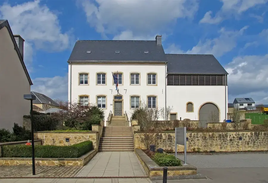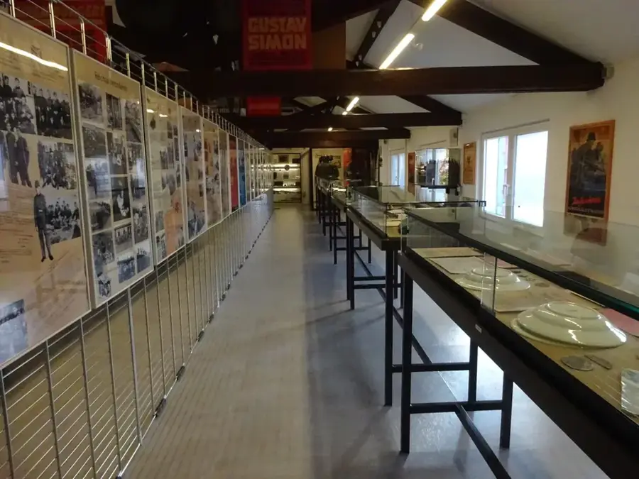
General Patton Memorial🏛 museum
Museum in Ettelbrück, commemorating General Patton and the Battle of the Bulge.
🌐 patton.lu🕒 Tu-Su 10:00-17:00
Plizio Visual Lab
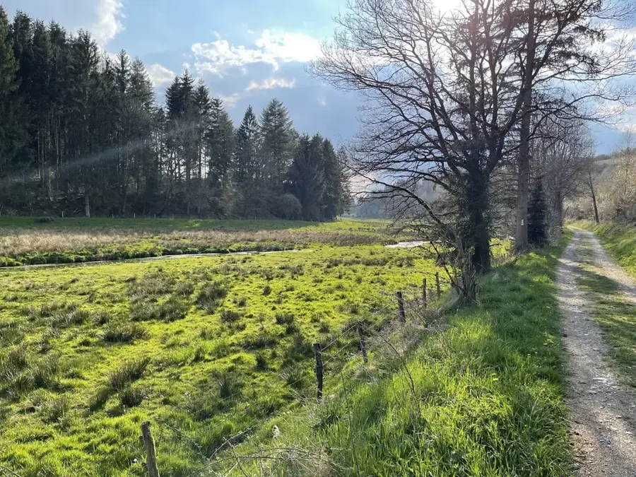
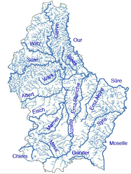
The Wark river is a scenic waterway in northern Luxembourg, carving its path through the rugged Oesling plateau. Originating near Grevels, it flows for 28 kilometers through the heart of the Luxembourgish Ardennes before joining the Alzette at Ettelbruck. The river's journey takes it through deep, forested gorges and open pastoral valleys, creating a diverse landscape that is a haven for local wildlife. Known for its pristine water quality, the Wark is a favored spot for trout fishing and supports a healthy ecosystem of aquatic plants and insects. The valley remains relatively secluded, offering a peaceful retreat for hikers looking to experience Luxembourg's wilder side. Historic remnants, such as old watermills scattered along its banks, tell the story of the river's past industrial importance. Today, the Wark is celebrated primarily for its natural beauty and its role as a vital ecological corridor in the northern highlands.
The most pleasant time to visit is Jun–Aug.
| Jan | Feb | Mar | Apr | May | Jun | Jul | Aug | Sep | Oct | Nov | Dec | |
|---|---|---|---|---|---|---|---|---|---|---|---|---|
| Avg °C | 0 | 1 | 4 | 8 | 12 | 16 | 18 | 17 | 14 | 9 | 5 | 1 |
| Rain mm | 75 | 64 | 63 | 49 | 75 | 75 | 74 | 81 | 59 | 67 | 72 | 84 |
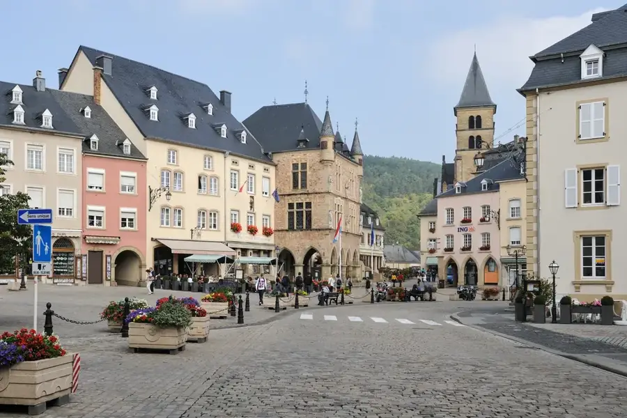
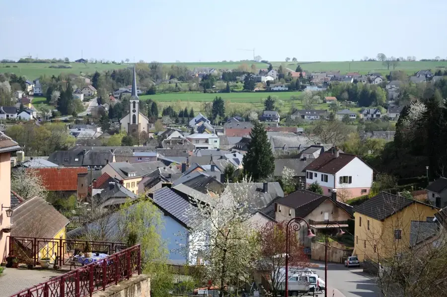
Notable places around
Where do you start? We build the route here, with stops and country notes along the way.
© OpenStreetMap contributors · OpenRouteService
Museum in Ettelbrück, commemorating General Patton and the Battle of the Bulge.
Nature reserve along the Ditgesbaach, protecting the stream and floodplain.
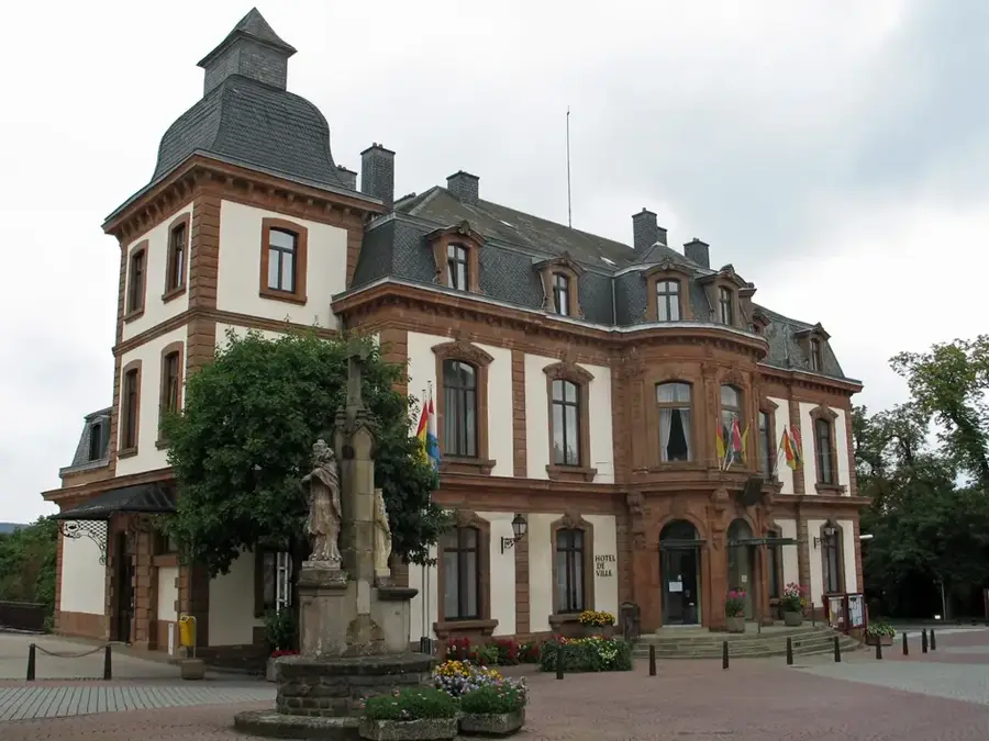
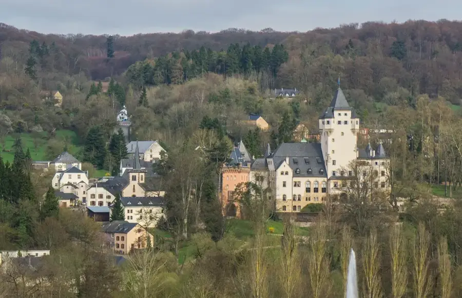
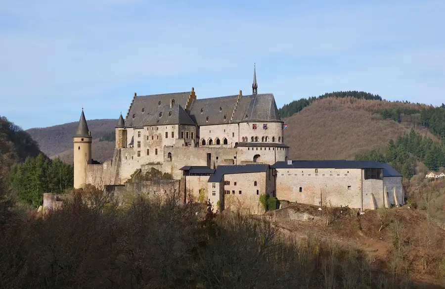
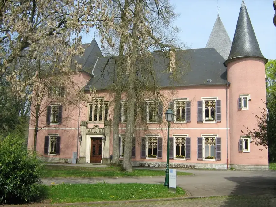
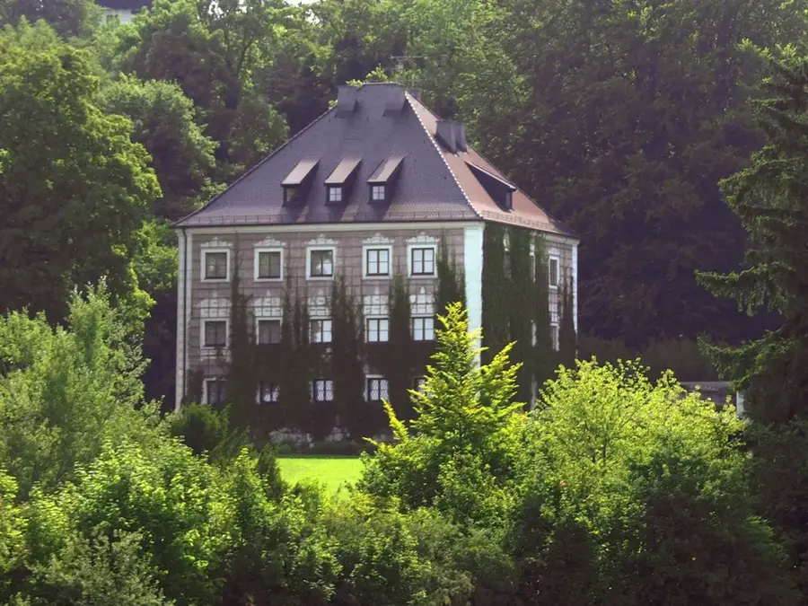
Castle in Erpeldange, historic building with park and courtyard.
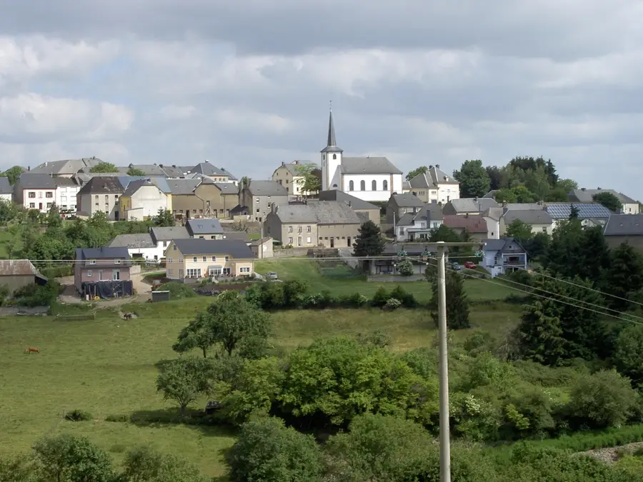
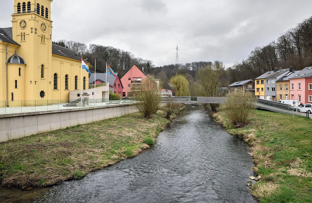
Church building in Luxembourg, site for religious ceremonies.
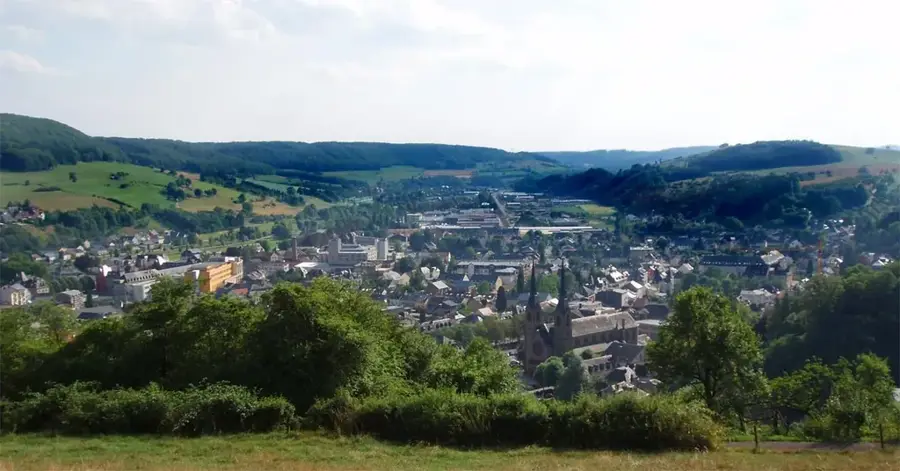
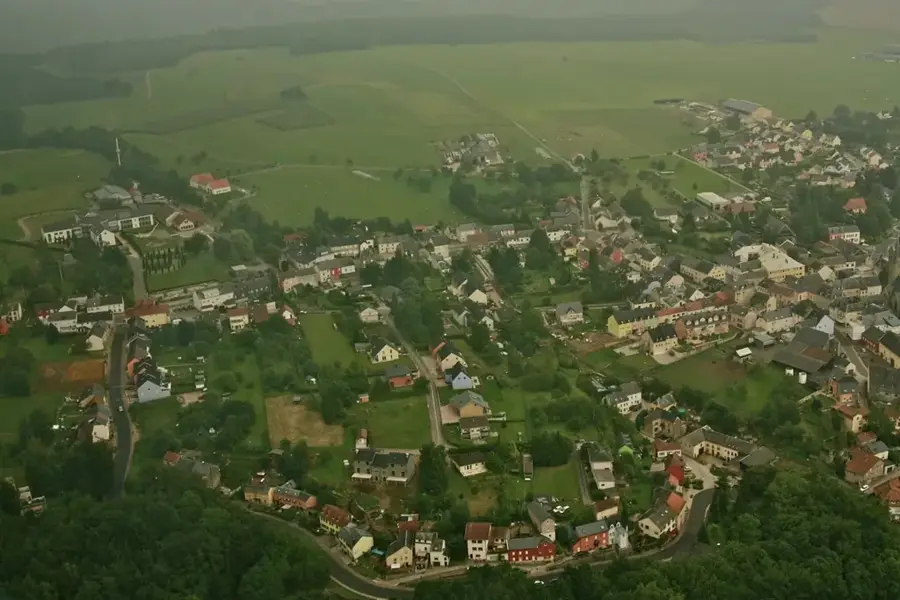
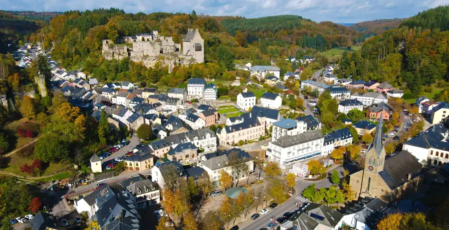
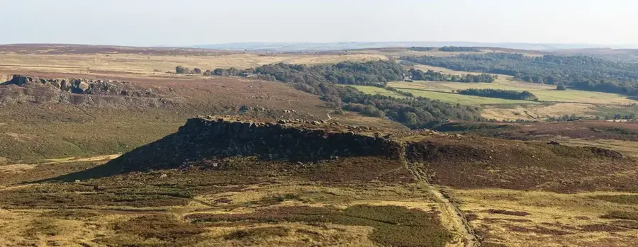
Viewpoint overlooking the Wark valley and surrounding area.
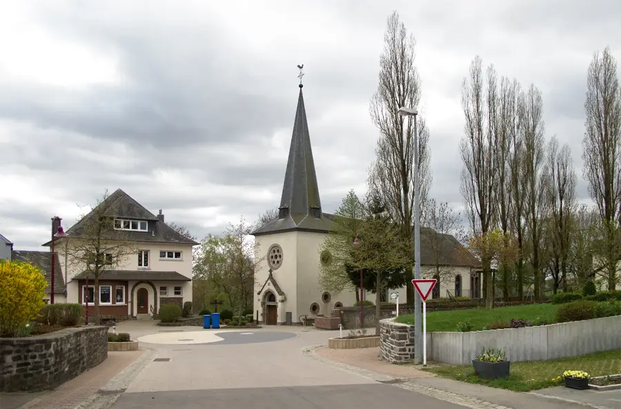
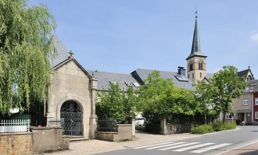
Church building in Erpeldange, Luxembourg, dedicated to the Conversion of Paul.
Ruins of a former lime kiln and quarry.