Plizio Visual Lab
Sirvėta Regional Park
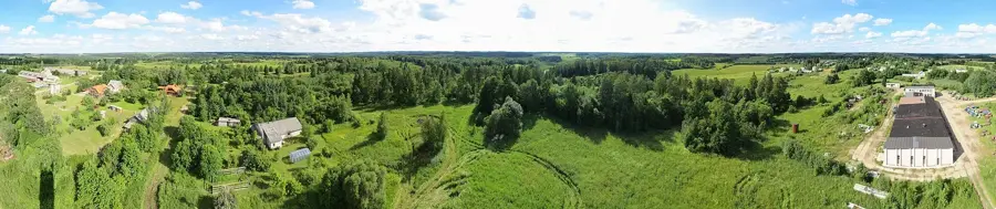
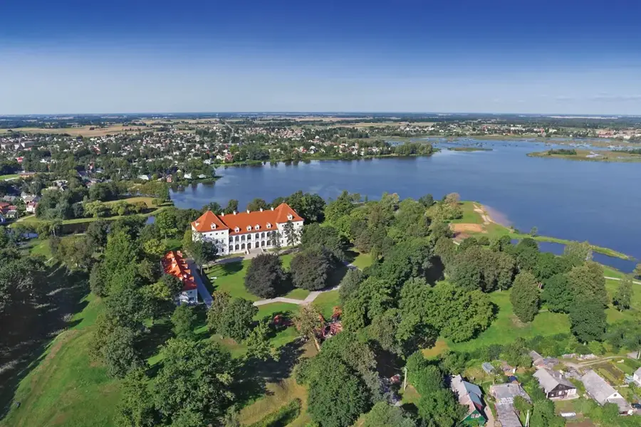
Sirvėta Regional Park, positioned in northeastern Lithuania near the Belarusian border, is a hidden natural gem established in 1992 to protect a highly contoured terminal moraine landscape. The region is distinguished by its prominent, steep ridges of hills, violently pushed up by the advancing and retreating glaciers of the last Ice Age. Concealed between these rolling hills are over 30 small, crystal-clear glacial lakes, many of which lack any surface inflow or outflow. The park encompasses a rich mosaic of ancient oak and mixed forests, pristine wetlands, and traditional, small-scale agricultural lands neatly tucked into the valleys. This remarkably intact habitat is of paramount importance to numerous rare and threatened insect species, particularly saproxylic (deadwood-dependent) beetles that find excellent breeding conditions in the ancient oaks. Ornithologists also treasure the park as a vital nesting ground for elusive black storks and lesser spotted eagles. The ancient trade routes and historic hillforts scattered throughout add a profound historical depth to the scenery.
- Location: Lithuania
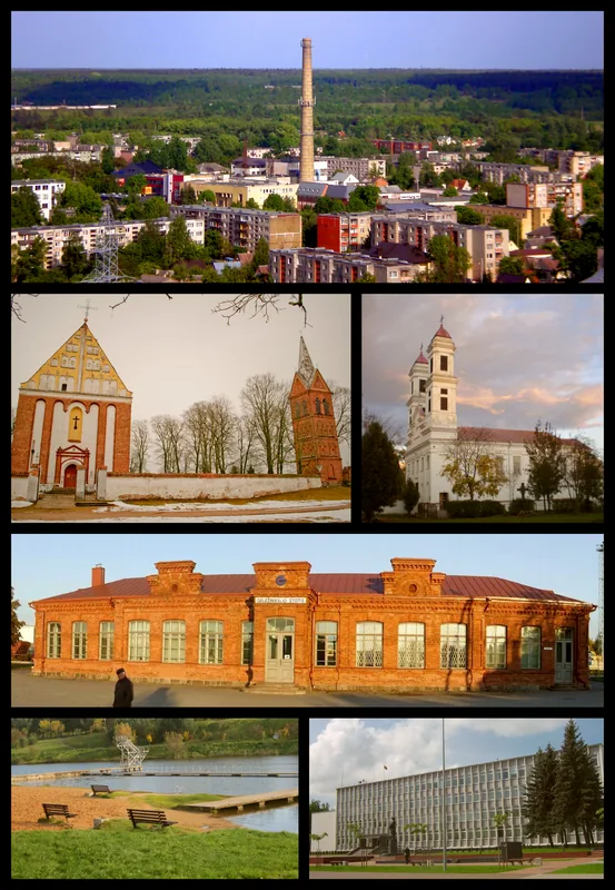
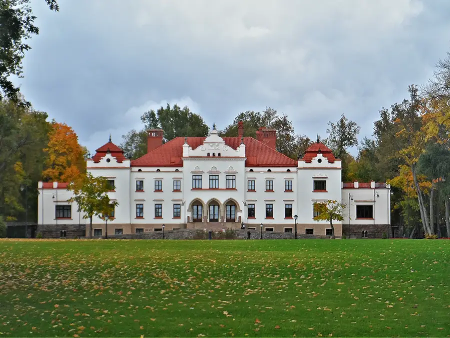
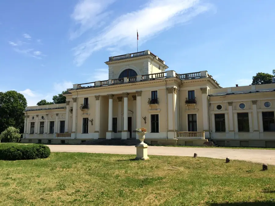
- Top sights: Aučynų piliakalnis · Stūglių piliakalnis · Šventos pilkapynas
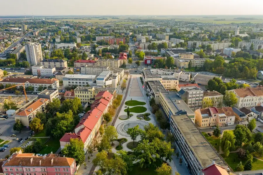
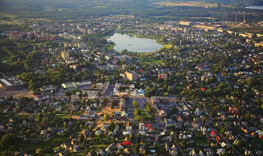
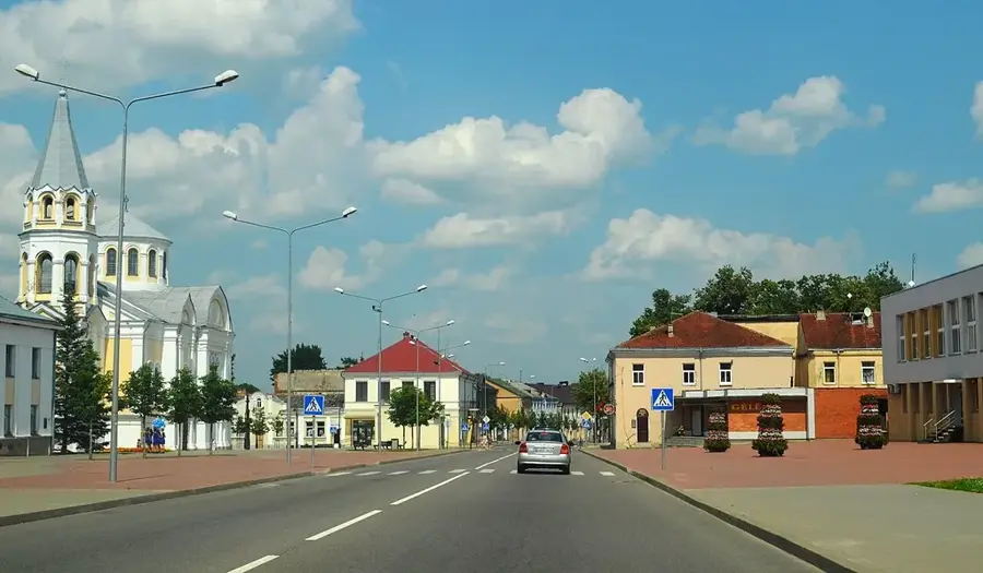
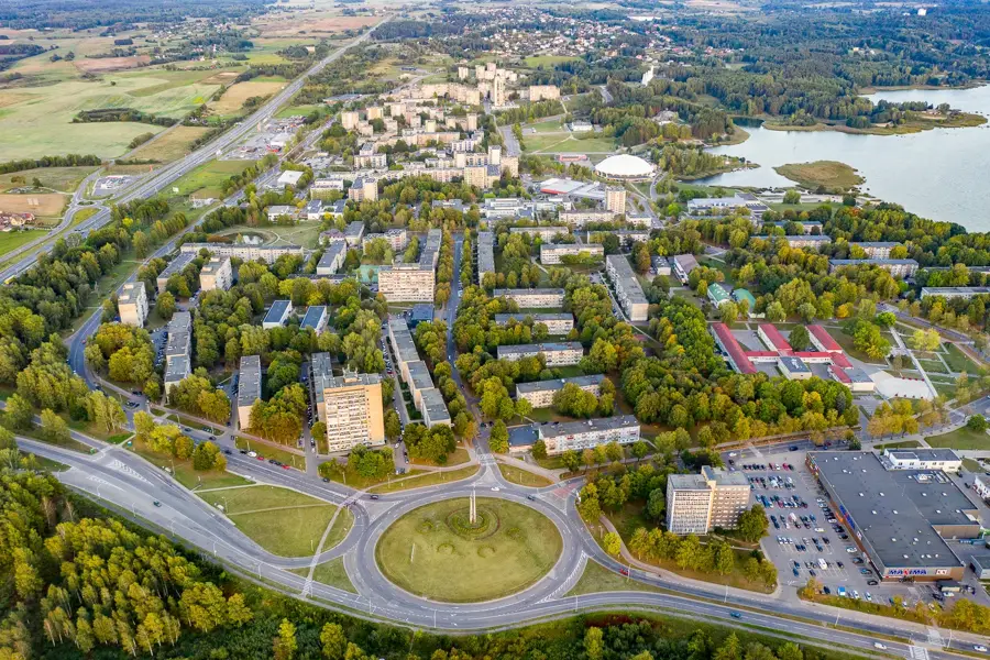
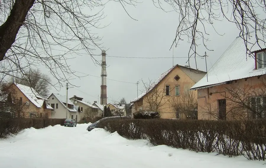
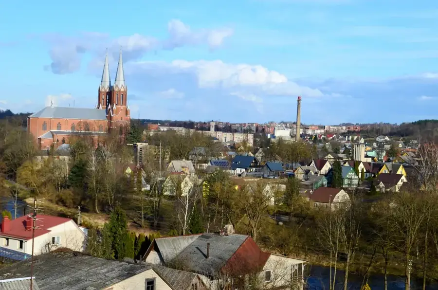
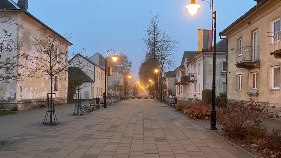
- Nearby: Švenčionėliai (16 km)
Best time to visit & climate
The most pleasant time to visit is Jun–Aug.
| Jan | Feb | Mar | Apr | May | Jun | Jul | Aug | Sep | Oct | Nov | Dec | |
|---|---|---|---|---|---|---|---|---|---|---|---|---|
| Avg °C | -7 | -6 | -1 | 6 | 12 | 16 | 19 | 18 | 12 | 6 | 1 | -4 |
| Rain mm | 50 | 43 | 43 | 49 | 74 | 77 | 101 | 86 | 55 | 70 | 57 | 53 |
📋 Practical info
Geography
Explore nearby
Notable places around
Route planner — Car & Motorhome
Where do you start? We build the route here, with stops and country notes along the way.
© OpenStreetMap contributors · OpenRouteService
Sights in the town Sirvėta Regional Park (6)
Sights nearby
Frequently asked questions
What is the mythological trail?
Are there many lakes in the park?
What is special about the terrain?
What can you see at the visitor center?
Are there old lime trees in the park?
Sirvėta Regional Park: where is it located?
Sirvėta Regional Park: what is there to see?
Sirvėta Regional Park: when is the best time to visit?
Sirvėta Regional Park: why is it worth visiting?

Nearby cities