Plizio Visual Lab
Dysna Lowland

Weather…
Water temperature…
The Dysna Lowland is located in the far east of Lithuania, on the border with Belarus, and is part of the larger Daugava basin. This region is characterized by a very flat relief and a high density of wetlands, swamps, and lakes. The formation of the lowland is closely linked to the retreat of the glaciers, when huge meltwater lakes were dammed here, depositing fine-grained sediments such as clays and silts. Due to the low inclination of the terrain, natural drainage is difficult, leading to the formation of extensive bog complexes. The Dysna, the main river of the region, meanders heavily through the wet meadows and regularly floods wide areas in spring. Human settlement is less dense here due to difficult soil conditions, which has contributed to the preservation of rare plant and bird species. Geologically, Quaternary deposits here reach considerable thicknesses of up to 100 meters.
- Location: Lithuania
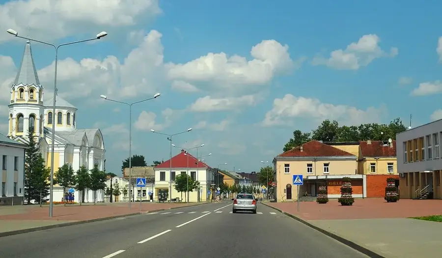
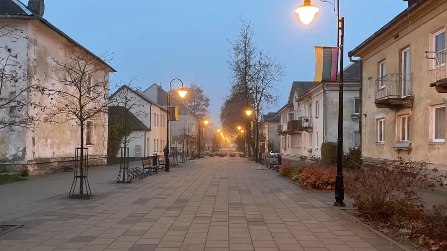
- Nearby: Ignalina (24 km)
Best time to visit & climate
The most pleasant time to visit is Jun–Aug.
| Jan | Feb | Mar | Apr | May | Jun | Jul | Aug | Sep | Oct | Nov | Dec | |
|---|---|---|---|---|---|---|---|---|---|---|---|---|
| Avg °C | -7 | -6 | -1 | 6 | 12 | 16 | 18 | 17 | 12 | 6 | 1 | -4 |
| Rain mm | 50 | 44 | 44 | 48 | 75 | 82 | 101 | 89 | 59 | 72 | 59 | 52 |
📋 Practical info
Geography
Facts
- Located in eastern Lithuania, forming part of the Daugava River drainage basin.
- Characterized by poorly drained soils and extensive wetland ecosystems.
- The Dysna River is the primary waterway, known for its frequent spring floods.
- Glacial lake deposits like clay and silt define the surface geology.
- Home to several large peat bogs and protected ornithological areas.
- The average elevation is approximately 115 to 130 meters above sea level.
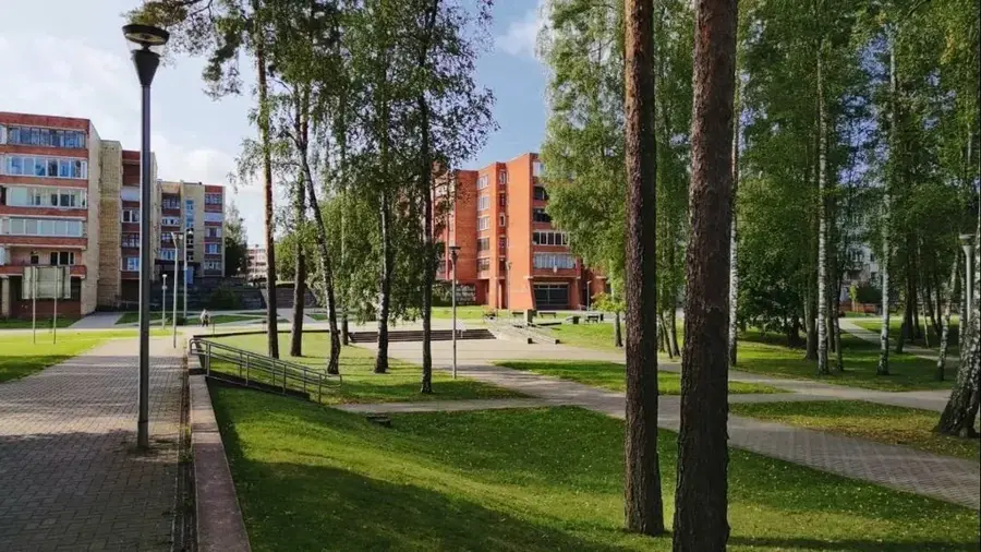
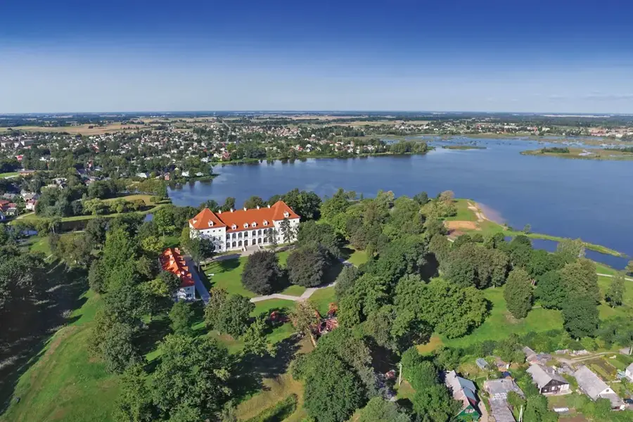
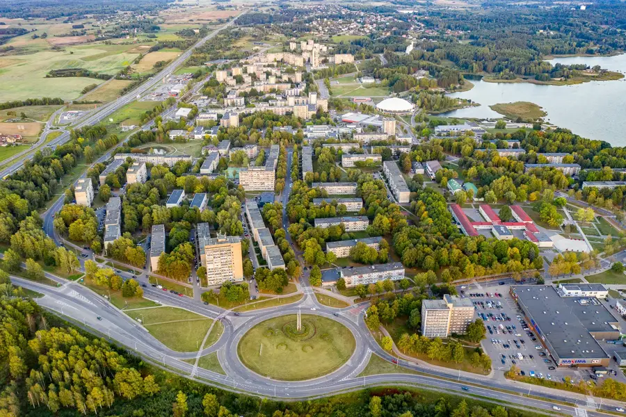
Explore nearby
Notable places around
Route planner — Car & Motorhome
Where do you start? We build the route here, with stops and country notes along the way.
© OpenStreetMap contributors · OpenRouteService
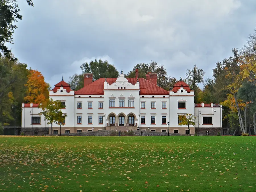
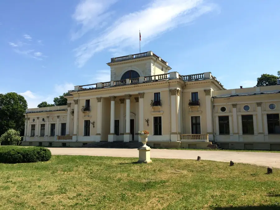
Sights in the town Dysna Lowland (1)
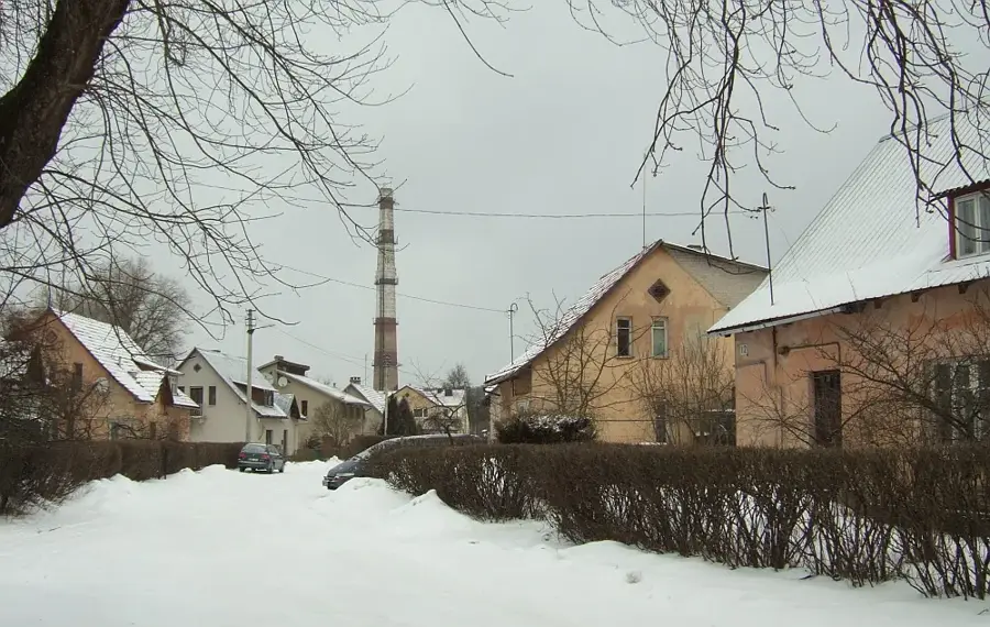
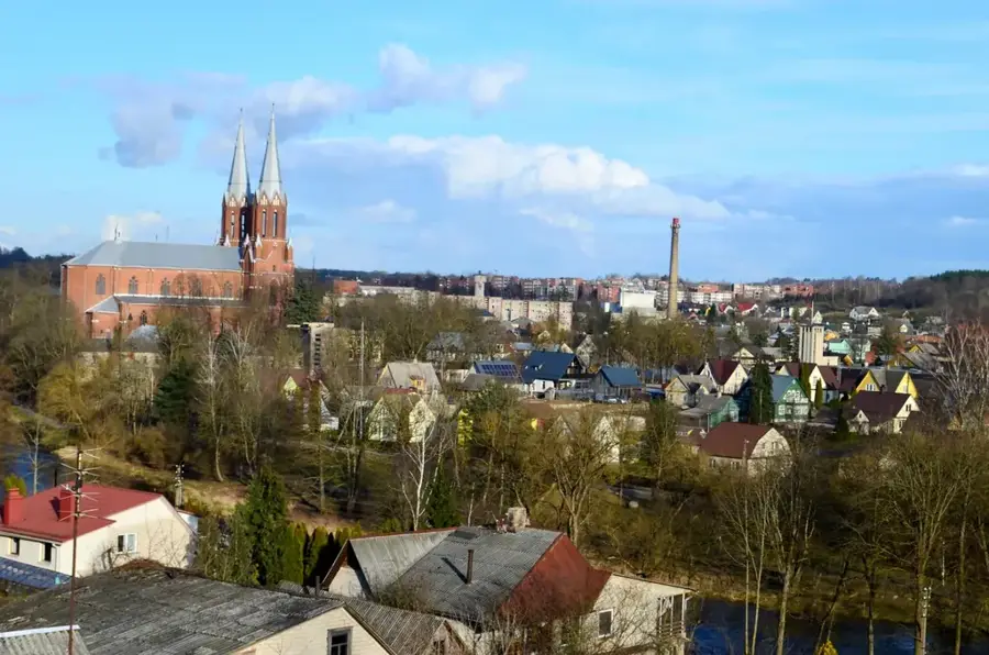
Sights nearby
Frequently asked questions
What is special about the Dysna lowland?
Which river flows through this area?
Are there nature reserves here?
Is the area suitable for agriculture?
What is the climate like there?
Dysna Lowland: where is it located?
Dysna Lowland: when is the best time to visit?
Dysna Lowland: why is it worth visiting?

Nearby cities