Plizio Visual Lab
Šešupė Lowland
Weather…
Water temperature…
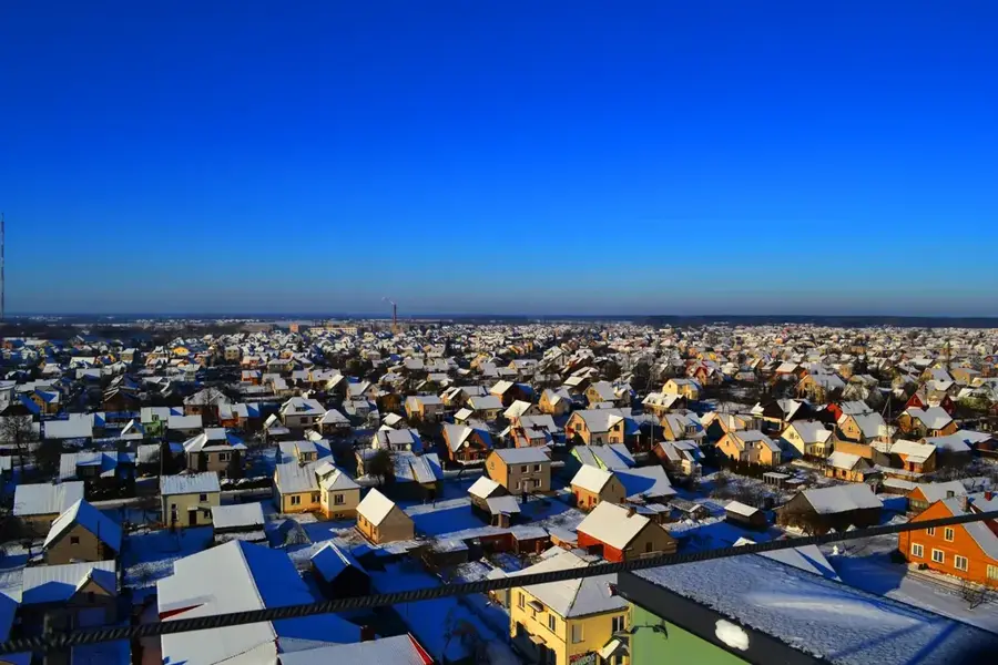
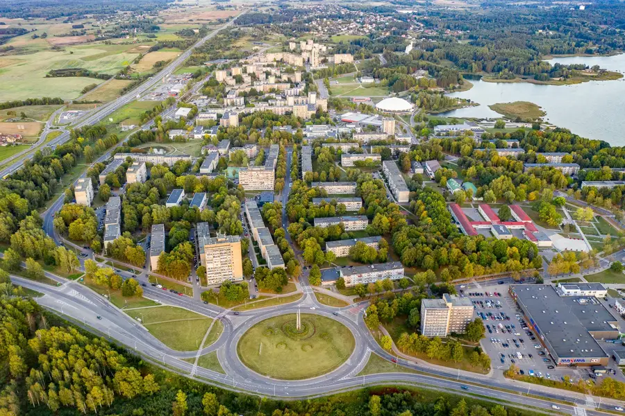
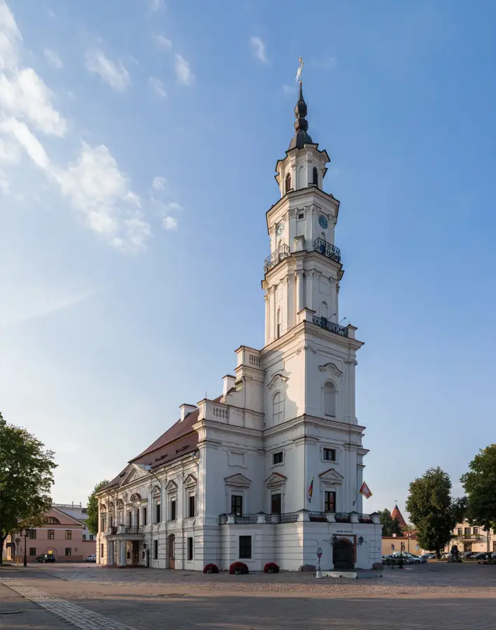
The Šešupė Lowland is located in southwestern Lithuania, extending as a flat, highly fertile plain along the winding course of the Šešupė River, a major tributary of the Nemunas. Geologically, the plain is deeply covered by rich alluvial soils formed through centuries of historical flooding combined with ancient glacial deposits. This exceptional soil quality has firmly established the region, historically referred to as Suvalkija, as the agricultural powerhouse of Lithuania. The landscape is notably open, featuring seemingly endless, meticulously cultivated crop fields that are systematically intersected by a dense network of irrigation and drainage ditches designed to maximize agricultural yields. Despite the intensive human cultivation, small strips of broadleaf forests and riparian wetlands have been preserved along the riverbanks, supporting local biodiversity. The terrain lacks any major elevations, offering broad, uninterrupted flat horizons.
- Location: Lithuania
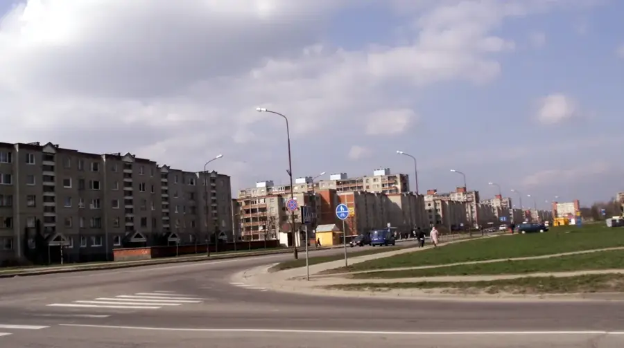
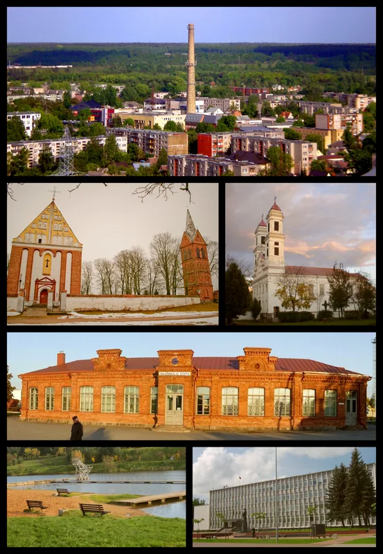
- Nearby: Vilkaviškis area (17 km)
Best time to visit & climate
The most pleasant time to visit is Jun–Aug.
| Jan | Feb | Mar | Apr | May | Jun | Jul | Aug | Sep | Oct | Nov | Dec | |
|---|---|---|---|---|---|---|---|---|---|---|---|---|
| Avg °C | -5 | -4 | 0 | 7 | 13 | 16 | 19 | 18 | 13 | 7 | 2 | -2 |
| Rain mm | 60 | 46 | 46 | 42 | 63 | 81 | 97 | 83 | 59 | 70 | 62 | 59 |
📋 Practical info
Geography
Explore nearby
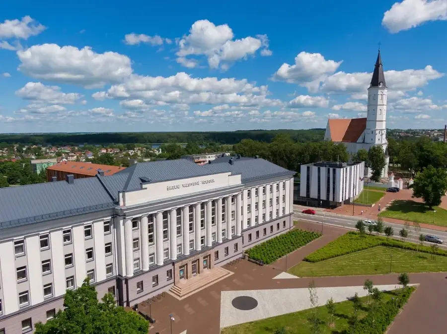
Notable places around
Route planner — Car & Motorhome
Where do you start? We build the route here, with stops and country notes along the way.
© OpenStreetMap contributors · OpenRouteService
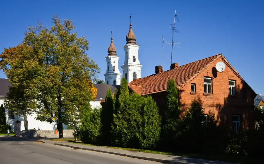
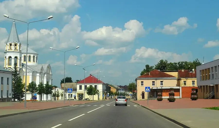
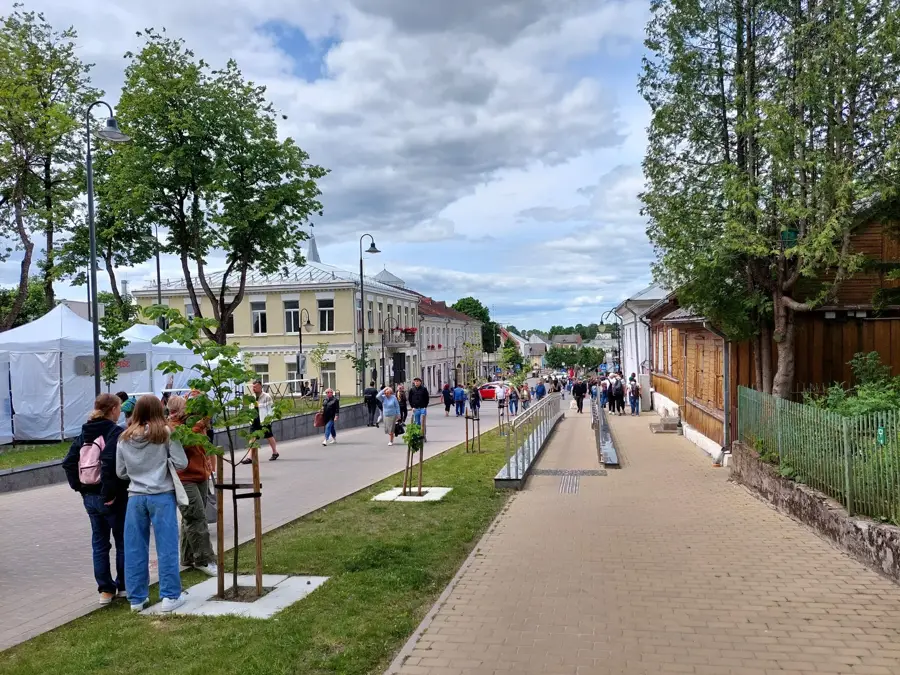
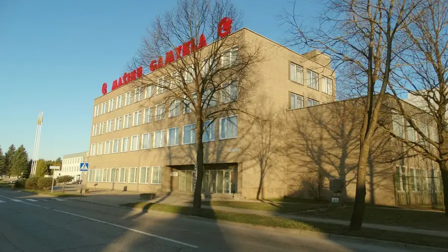
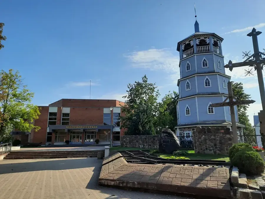
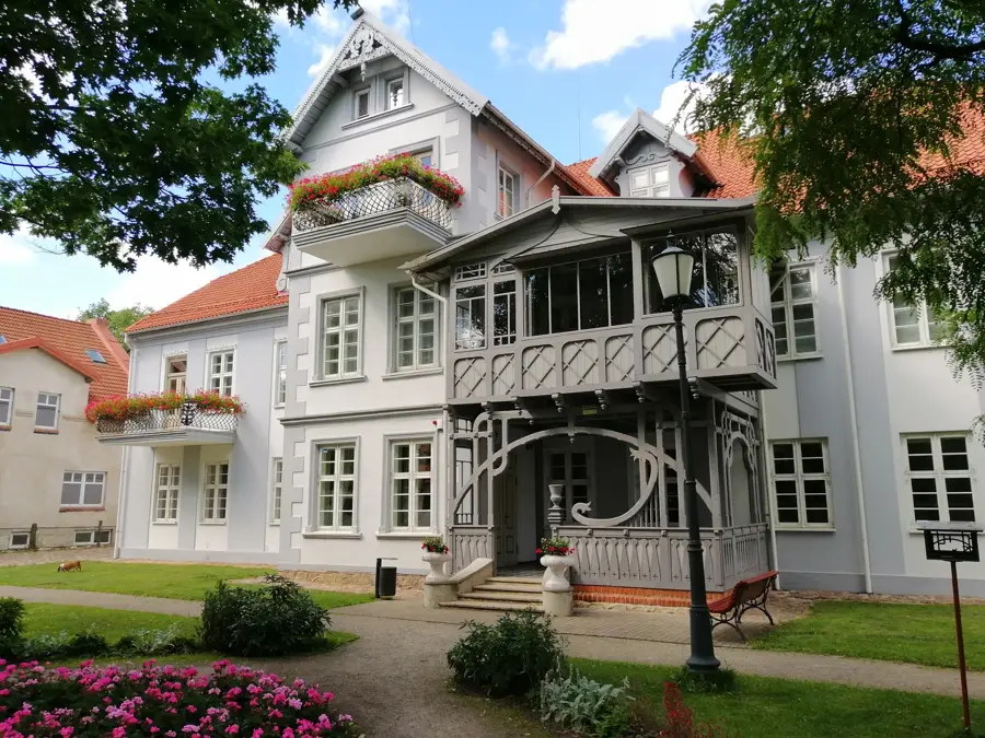
Sights in the town Šešupė Lowland (1)
Sights nearby
Frequently asked questions
Where is the Šešupė Lowland located?
What is the terrain like?
What is this region known for?
Which river flows through the lowland?
Are there historical sights there?
Šešupė Lowland: where is it located?
Šešupė Lowland: when is the best time to visit?
Šešupė Lowland: why is it worth visiting?

Nearby cities