Plizio Visual Lab
Pagramantis Regional Park
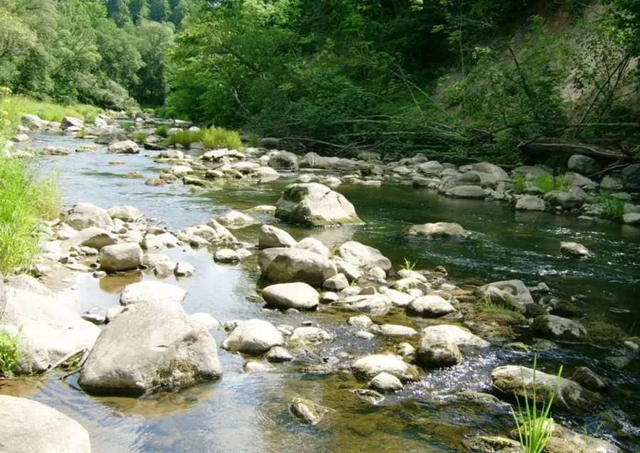
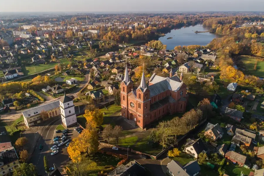
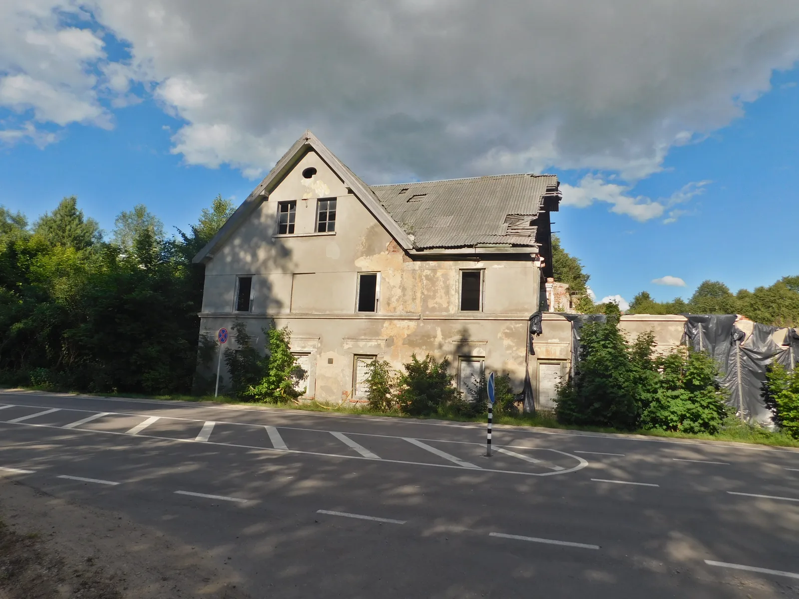
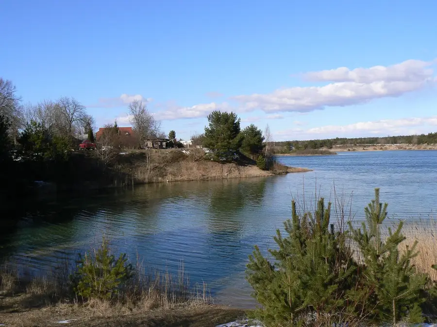
Located in western Lithuania, Pagramantis Regional Park was established in 1992 to preserve the spectacular, deeply incised river valleys of the Akmena and Jūra rivers. The park's landscape possesses a wild, almost primeval beauty, defined by steep, plunging slopes, narrow hanging ravines, and rocky riverbeds. These rivers exhibit a rugged character that is highly unusual for Lithuania, featuring numerous rapids and impressive geological exposures where the bare bedrock is thrust to the surface. Within the damp, shaded gorges and the pristine floodplain forests, a highly localized and unique microclimate has developed. This specific environment fosters an exceptionally rich cryptogamic flora; the park is a veritable paradise for bryologists, harboring a vast array of rare mosses, lichens, and ferns. The largely inaccessible woodlands also provide a secure nesting ground for numerous forest bird species. The wild natural setting is further romanticized by the presence of ancient hillforts and traditional wooden suspension bridges spanning the rapid waters.
- Location: Lithuania
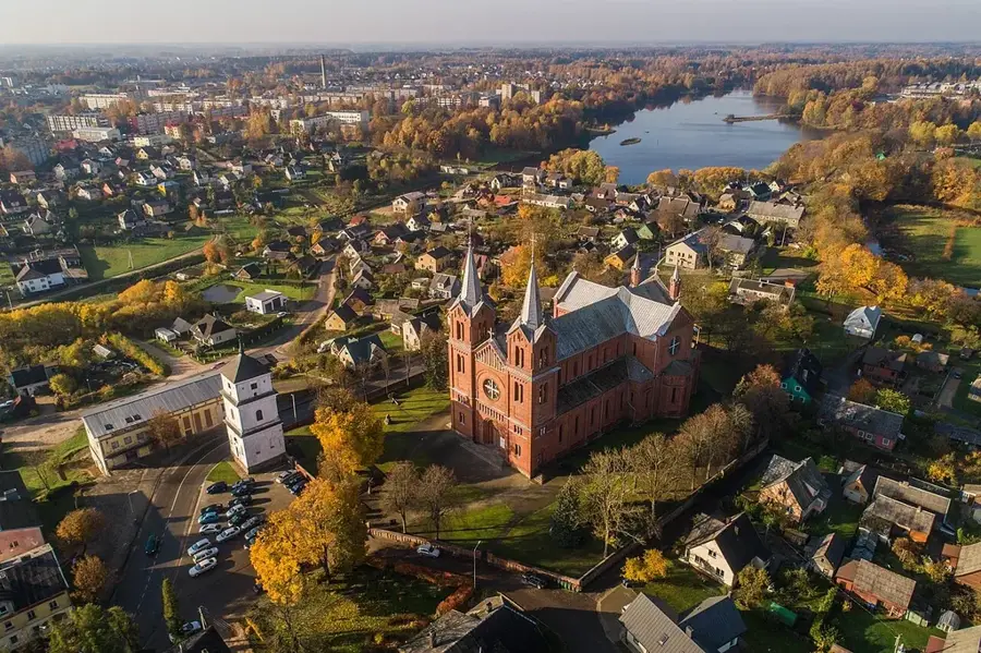
- Top sights: Pagramančio piliakalnis · Naujininkų piliakalnis · Pagramančio Kultūros Namai
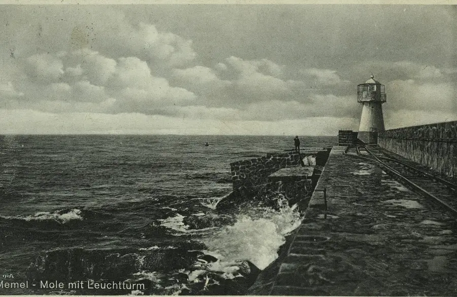
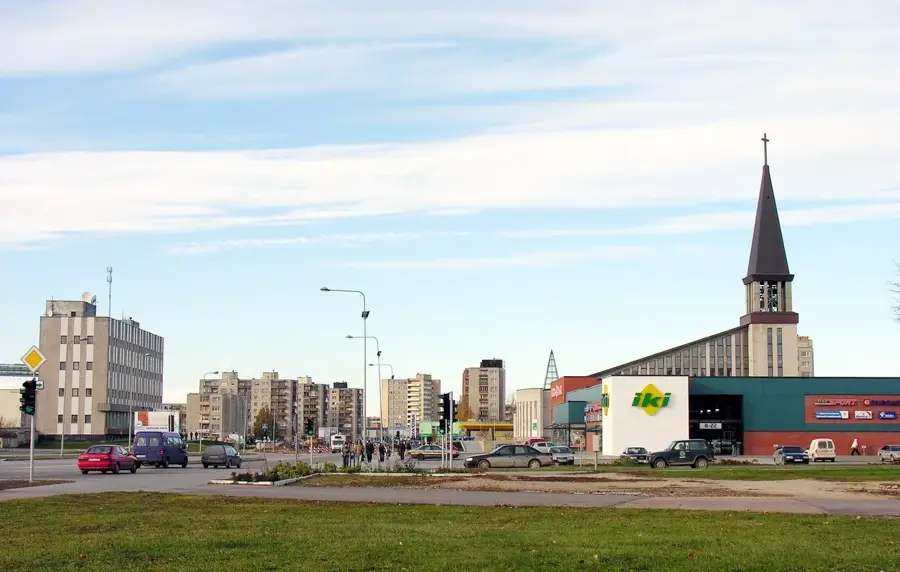
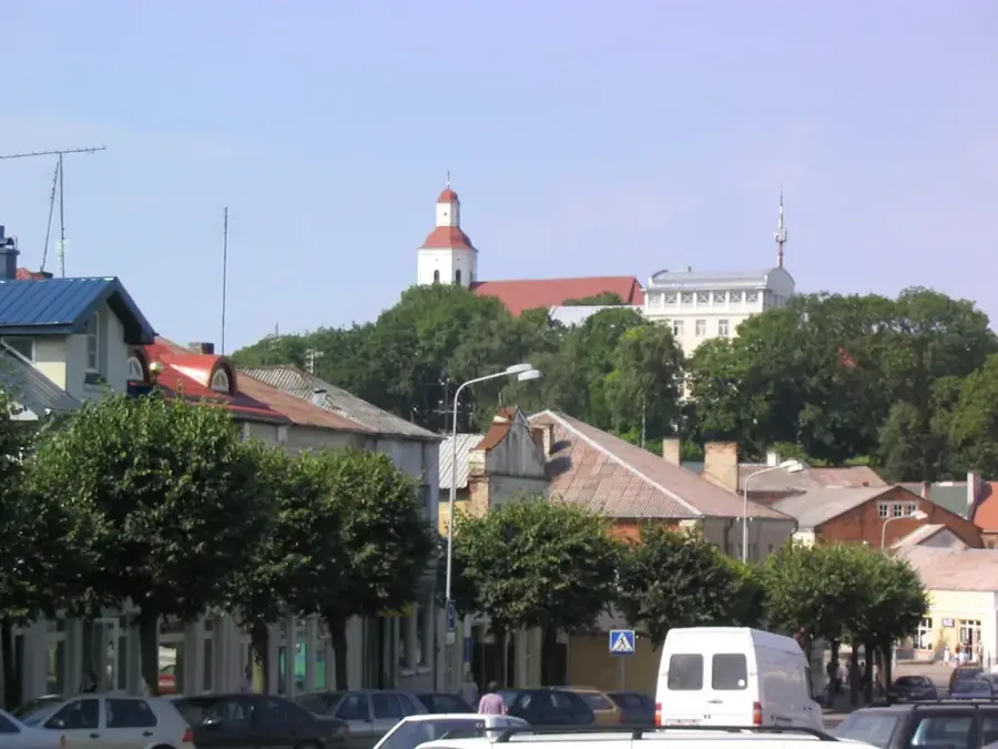
- Nearby: Šilalė area (13 km)
Best time to visit & climate
The most pleasant time to visit is Jun–Aug.
| Jan | Feb | Mar | Apr | May | Jun | Jul | Aug | Sep | Oct | Nov | Dec | |
|---|---|---|---|---|---|---|---|---|---|---|---|---|
| Avg °C | -4 | -4 | 0 | 6 | 12 | 15 | 18 | 18 | 13 | 7 | 3 | -1 |
| Rain mm | 68 | 49 | 48 | 40 | 54 | 74 | 90 | 85 | 67 | 81 | 77 | 70 |
📋 Practical info
Geography
Explore nearby
Notable places around
Route planner — Car & Motorhome
Where do you start? We build the route here, with stops and country notes along the way.
© OpenStreetMap contributors · OpenRouteService
Sights in the town Pagramantis Regional Park (8)
Sights nearby
Frequently asked questions
What are the hanging bridges?
What is the Pagramantis outcrop?
What does the name 'Indija' mean in the park?
Are there waterfalls in the park?
How difficult are the hiking trails?
Pagramantis Regional Park: where is it located?
Pagramantis Regional Park: what is there to see?
Pagramantis Regional Park: when is the best time to visit?
Pagramantis Regional Park: why is it worth visiting?

Nearby cities