Plizio Visual Lab
Šilalė area
ℹ️Practical info — Šilalė area
▾
🌤 Weather — 5 days
📍 Nearby
Sights nearby
💡 Tips
- Explore the culture of Samogitia (Žemaitija); locals here speak a distinct dialect.
- The gentle hills are excellent for hiking; wear sturdy shoes for the Medvėgalis hillfort.
- Public transport between small villages is sparse; renting a car is highly recommended.
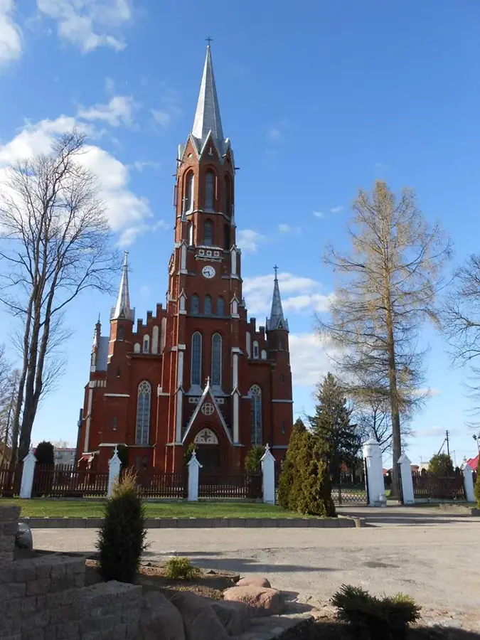
- Visit the unique wooden churches scattered throughout the villages in the region.
🍽 Food
A traditional Samogitian sour cream and butter spread, often served with hot potatoes in rural guesthouses.
Potato pancakes stuffed with meat, easily found in diners across Šilalė.
Local herbal teas enjoyed in community cafes or farmsteads.
🛍 Shopping · 🧘 Quiet spots
Samogitia is famous for its wooden crosses and crafts; look for local artisans.
Visit the market on Saturday mornings for fresh local cheese and smoked sausages.
A unique historical park featuring the oldest museum in Lithuania set inside hollowed oak trees.
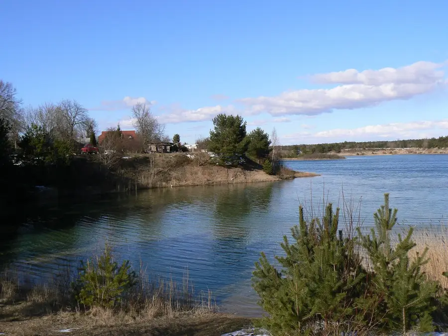
A serene lake featuring a campsite and pleasant walking trails.
Water temperature…
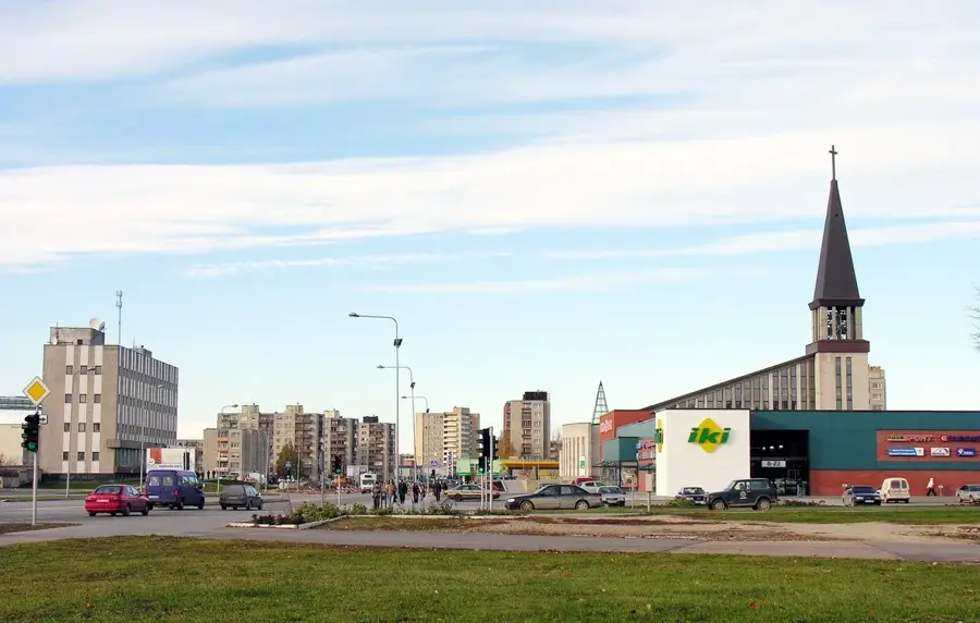
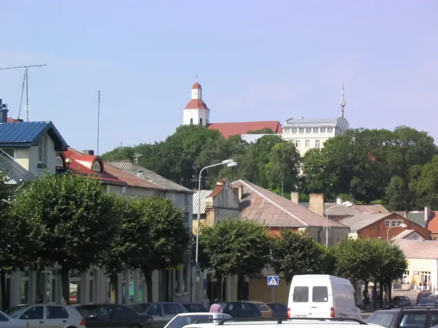
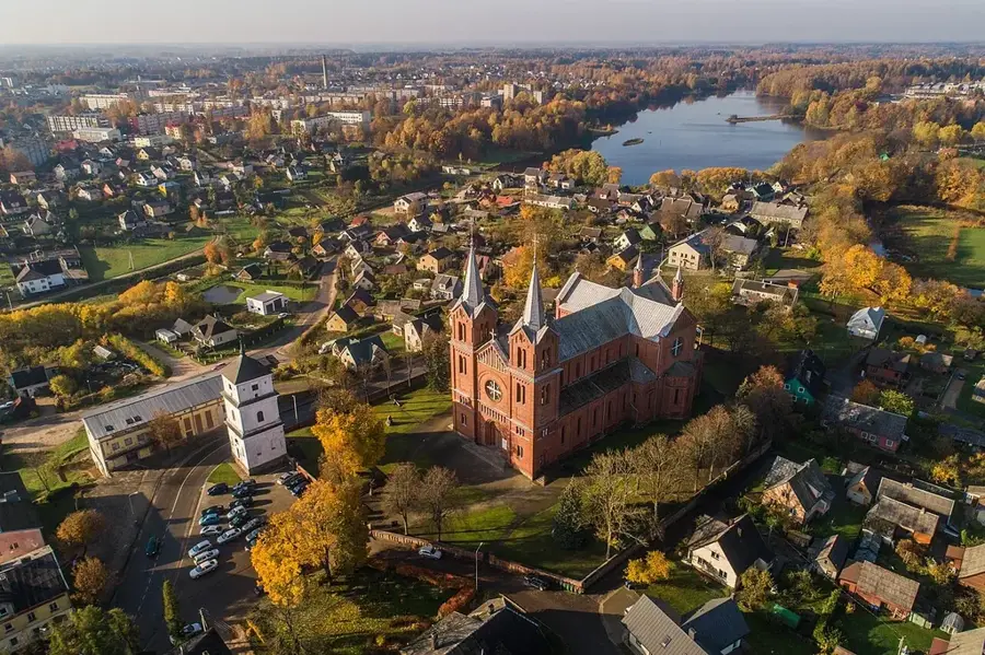
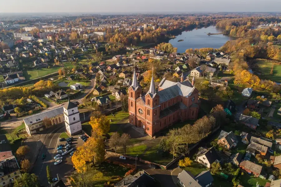
The environs of Šilalė are situated in western Lithuania, within the heart of the historic Samogitia region. The landscape is dominated by the undulating terrain of the Samogitian Upland, where Medvėgalis Hill serves as both the highest point and a former key defensive fort against the Teutonic Knights. A unique cultural landmark in the area is the Baubliai Museum, established by Dionizas Poška in the early 19th century; it was Lithuania's first museum of antiquities, housed inside the hollowed trunks of giant oak trees. The region is characterized by its strong Samogitian identity, with local dialects and traditions remaining spirited in daily life. Agriculture, particularly dairy farming and cattle breeding, along with forestry, forms the backbone of the local economy. Šilalė serves as an administrative center that balances modern growth with the preservation of folk culture and the natural beauty of the Varniai Regional Park.
- Location: Lithuania
- Nearby: Kaltinėnai (20 km)
- Population: ~4.640
Best time to visit & climate
The most pleasant time to visit is Jun–Aug.
| Jan | Feb | Mar | Apr | May | Jun | Jul | Aug | Sep | Oct | Nov | Dec | |
|---|---|---|---|---|---|---|---|---|---|---|---|---|
| Avg °C | -4 | -4 | 0 | 6 | 12 | 15 | 18 | 18 | 13 | 7 | 3 | -1 |
| Rain mm | 68 | 49 | 48 | 40 | 54 | 74 | 90 | 85 | 67 | 81 | 77 | 70 |
Geography
Facts
- Medvėgalis Hill is the highest peak in the Samogitia region at 234 meters.
- The Baubliai oak tree museums were established in 1812 by writer Dionizas Poška.
- Šilalė was first mentioned in historical written sources in the year 1533.
- The district features one of the highest concentrations of ancient hillforts in Lithuania.
- The A1 motorway, connecting Kaunas and Klaipėda, passes near the town of Šilalė.
- The Varniai Regional Park covers an area of over 30,000 hectares of protected land.
Explore nearby
Notable places around
Route planner — Car & Motorhome
Where do you start? We build the route here, with stops and country notes along the way.
© OpenStreetMap contributors · OpenRouteService
Sights in the town Šilalė area (1)
Frequently asked questions
What is a special historical site near Šilalė?
Are there natural monuments nearby?
Is the region good for outdoor activities?
What rivers flow through the area?
How far is Šilalė from Klaipėda?
Šilalė area: where is it located?
Šilalė area: when is the best time to visit?
Šilalė area: why is it worth visiting?

Nearby cities