Plizio Visual Lab
Kernavė
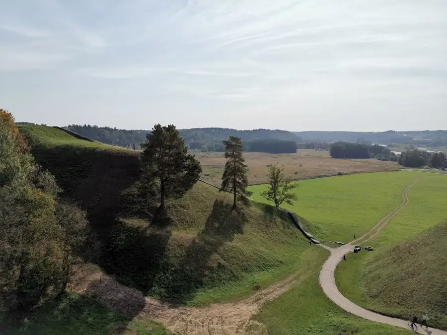
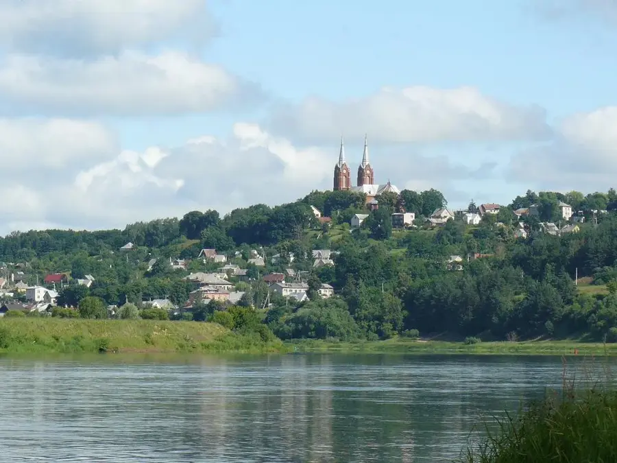
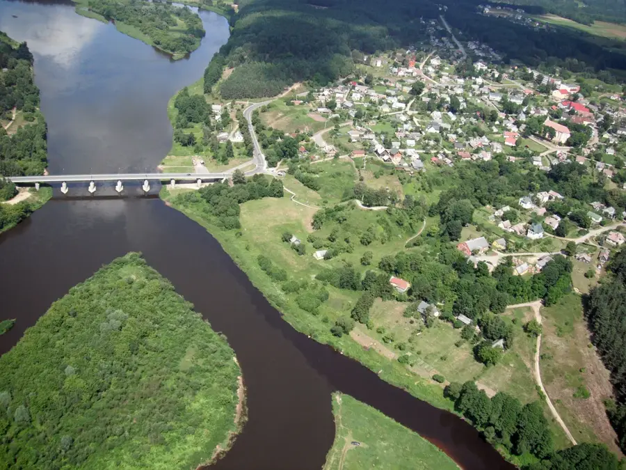
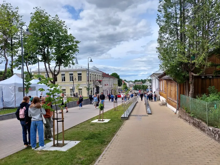
Kernavė, frequently referred to as the 'Lithuanian Troy', is one of the most significant archaeological sites in the Baltic states. In the 13th century, it served as the first capital of the Grand Duchy of Lithuania. The site's most striking feature is the collection of five impressive hill forts (piliakalniai) overlooking the Pajauta Valley along the Neris River. In 2004, it was designated a UNESCO World Heritage site. An on-site modern archaeological museum showcases finds from over 10,000 years of human settlement. Visitors can climb the hills to enjoy panoramic views of the river valley and the surrounding landscape. Every July, the site hosts the 'Live History' festival, where medieval crafts, battles, and music are brought back to life. The atmosphere at Kernavė is particularly mystical and serene at sunset, making it a place of deep national pride. Located just 35 kilometers from Vilnius, it is day-trip destination. Hiking trails wind through the nearby forests and along the riverbank. Nearby taverns offer hearty traditional Lithuanian dishes like Cepelinai (potato dumplings).
- Location: Lithuania
- Top sights: Kernavės apžvalgos aikštelė · Mitkiškių akmuo · Baltas kalnas
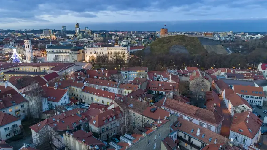
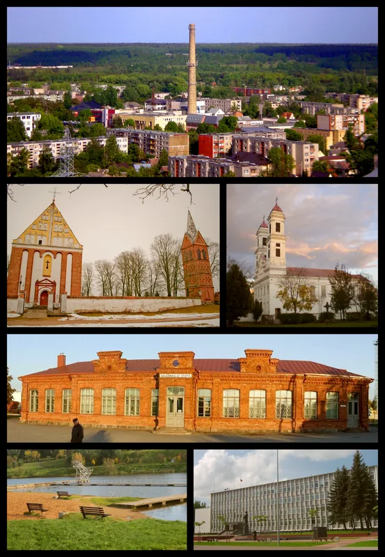
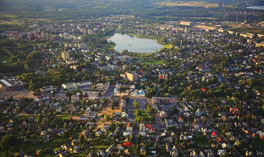
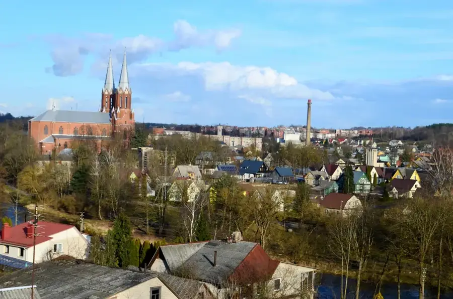
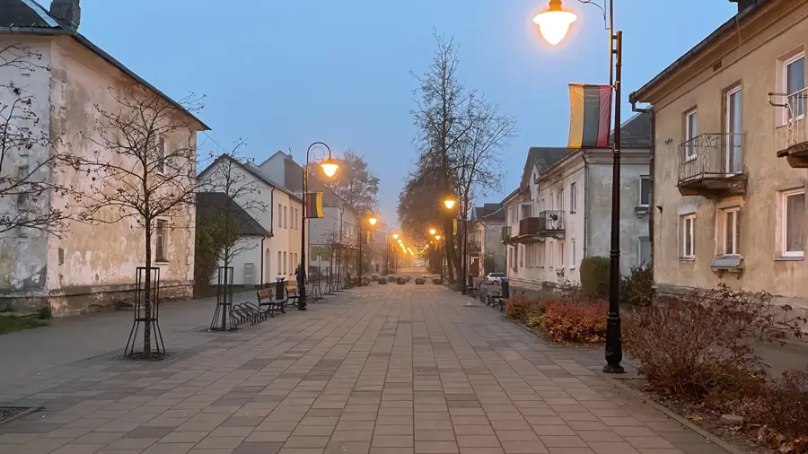
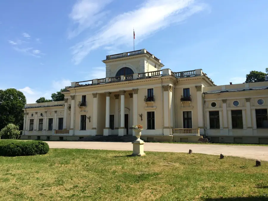
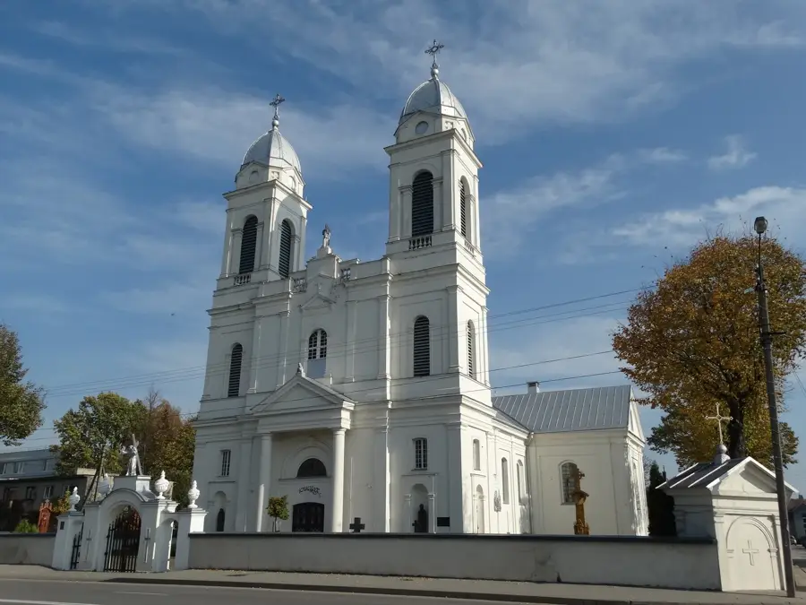
- Nearby: Vievis area (13 km)
Best time to visit & climate
The most pleasant time to visit is Jun–Aug.
| Jan | Feb | Mar | Apr | May | Jun | Jul | Aug | Sep | Oct | Nov | Dec | |
|---|---|---|---|---|---|---|---|---|---|---|---|---|
| Avg °C | -6 | -5 | 0 | 6 | 12 | 16 | 18 | 17 | 13 | 6 | 2 | -3 |
| Rain mm | 56 | 45 | 46 | 48 | 70 | 79 | 101 | 89 | 56 | 72 | 60 | 57 |
Geography
Facts
- UNESCO World Heritage site
- First capital of Lithuania
- Five historic hill forts
- Pajauta Valley on the Neris River
- Key archaeological research site
- Living History Festival in July
- On-site archaeological museum
- Located 35km from Vilnius
Explore nearby
Notable places around
Route planner — Car & Motorhome
Where do you start? We build the route here, with stops and country notes along the way.
© OpenStreetMap contributors · OpenRouteService
Sights in the town Kernavė (4)
Sights nearby
Frequently asked questions
Why is Kernavė important?
What can you see in Kernavė?
Is there an entrance fee for the hillforts?
When does the Living Archaeology Festival take place?
Is Kernavė accessible for wheelchairs?
Kernavė: where is it located?
Kernavė: what is there to see?
Kernavė: when is the best time to visit?
Kernavė: why is it worth visiting?

Nearby cities


History & landmarks