Plizio Visual Lab
Neris Regional Park
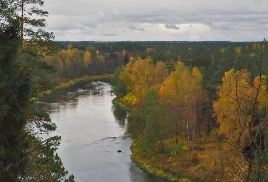
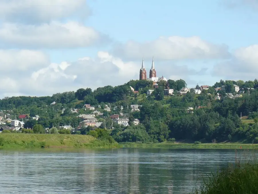
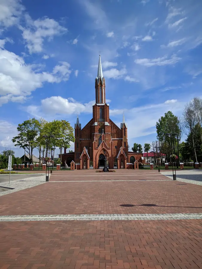
The Neris Regional Park stretches between the capital city of Vilnius and the historical town of Kernavė, dedicated to protecting the most scenic and meandering middle section of the Neris River. Established in 1992, the park is characterized by steep, densely forested riverbanks, idyllic river loops, and numerous crystal-clear natural springs. Over half of the park's territory is blanketed by thick oak and mixed forests, encompassing the largest continuous oak woodland in Lithuania. These undisturbed deciduous forests hold immense ecological significance, as they sustain the country's largest population of the highly endangered edible dormouse. The skies are patrolled by rare bat species, while the forest floor is home to threatened flora such as the red helleborine orchid and various rare ferns. The park is equally fascinating from a cultural-historical perspective: ancient pagan burial mounds, mythological boulders resting in the riverbed, and the remnants of traditional ethnographic villages stand as silent witnesses to millennia of human habitation in this valley.
- Location: Lithuania
- Top sights: Bradeliškių piliakalnis · Buivydų piliakalnis · Karmazinų piliakalnis
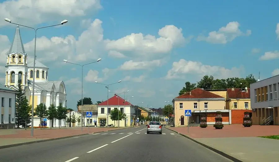
- Nearby: Vievis (11 km)
Best time to visit & climate
The most pleasant time to visit is Jun–Aug.
| Jan | Feb | Mar | Apr | May | Jun | Jul | Aug | Sep | Oct | Nov | Dec | |
|---|---|---|---|---|---|---|---|---|---|---|---|---|
| Avg °C | -6 | -5 | 0 | 6 | 12 | 16 | 18 | 17 | 13 | 6 | 2 | -3 |
| Rain mm | 56 | 45 | 46 | 48 | 70 | 79 | 101 | 89 | 56 | 72 | 60 | 57 |
📋 Practical info
Geography
Explore nearby
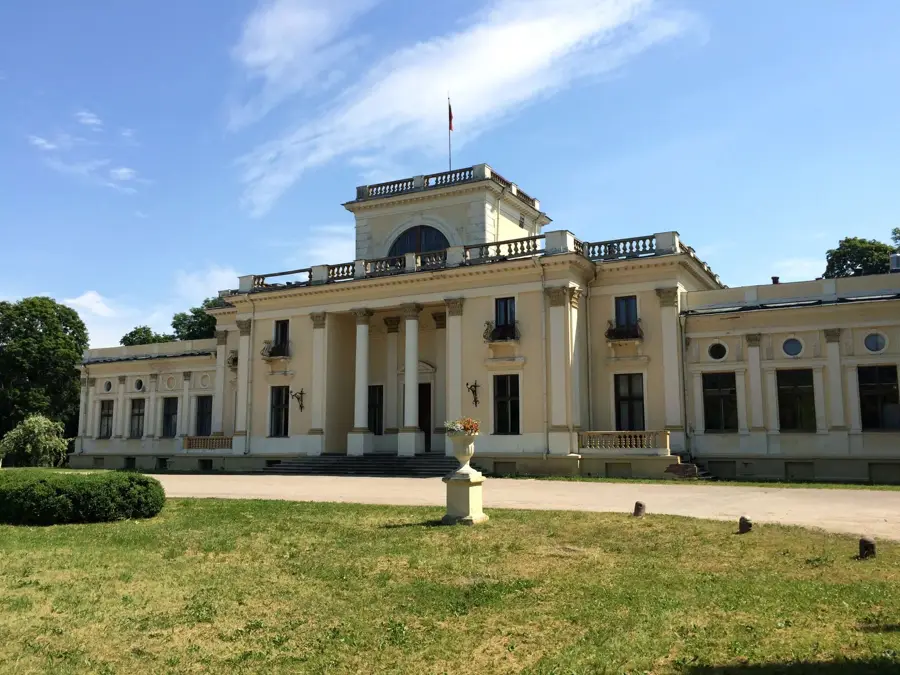
Notable places around
Route planner — Car & Motorhome
Where do you start? We build the route here, with stops and country notes along the way.
© OpenStreetMap contributors · OpenRouteService
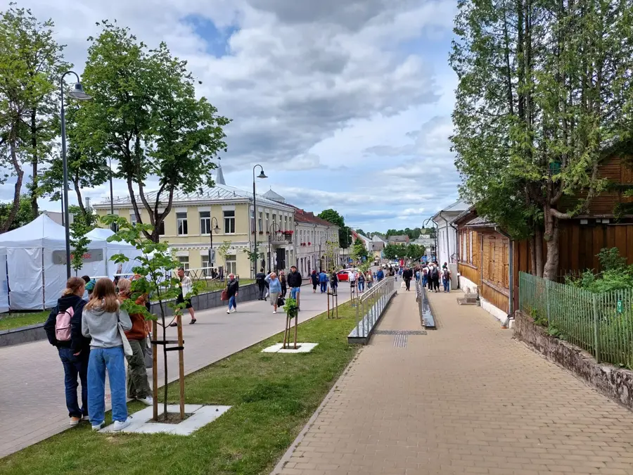
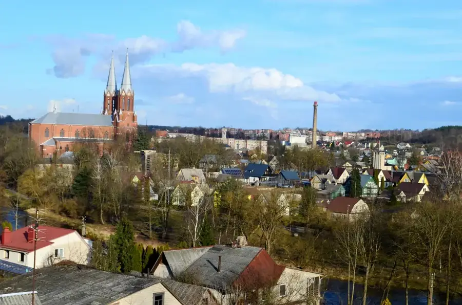
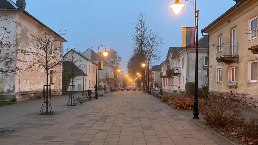
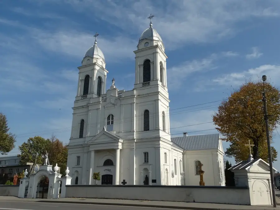
Sights in the town Neris Regional Park (6)
Sights nearby
Frequently asked questions
Where is the park located?
What is the Dūkštos nature trail?
Are there burial mounds there?
Can you go cycling in the park?
What is Kernavė?
Neris Regional Park: where is it located?
Neris Regional Park: what is there to see?
Neris Regional Park: when is the best time to visit?
Neris Regional Park: why is it worth visiting?

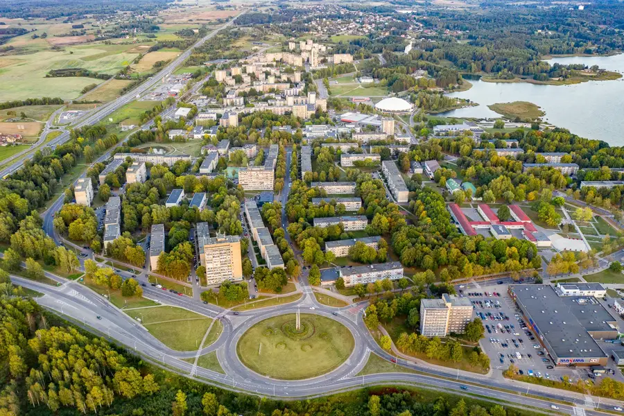
Nearby cities


History & landmarks