Plizio Visual Lab
Viervoet

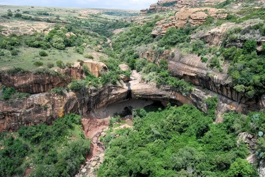
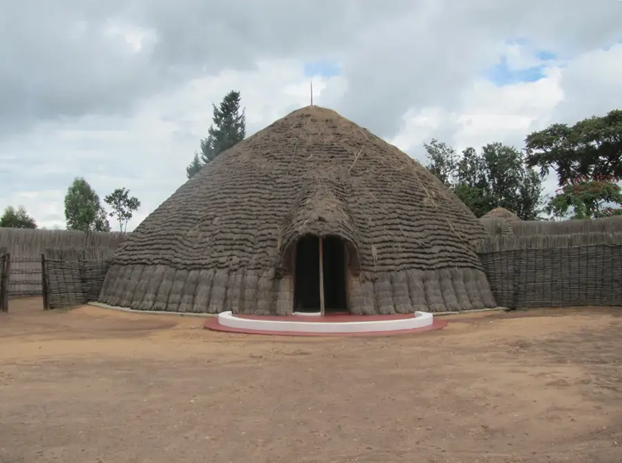
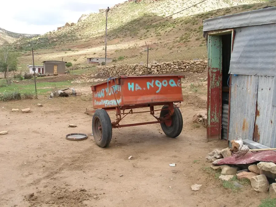
Mount Viervoet is a site of paramount historical significance in Lesotho, serving as the backdrop for the 1851 Battle of Viervoet. During this conflict, the Basotho forces under the leadership of King Moshoeshoe I achieved a resounding victory over a British-led military expedition. The strategic use of the mountainous terrain allowed the Basotho warriors to trap and defeat the colonial forces, marking one of the few instances where an African nation successfully repelled a British invasion during the 19th century. This victory was crucial in securing the borders of what would eventually become the modern state of Lesotho. Today, the battlefield is a quiet, evocative place that has insights into the complex history of the region. The plateau and surrounding slopes provide a dramatic landscape, reflecting the rugged nature of the Highveld. It remains a powerful symbol of national pride and military prowess, illustrating the resilience of the Basotho people against external pressures.
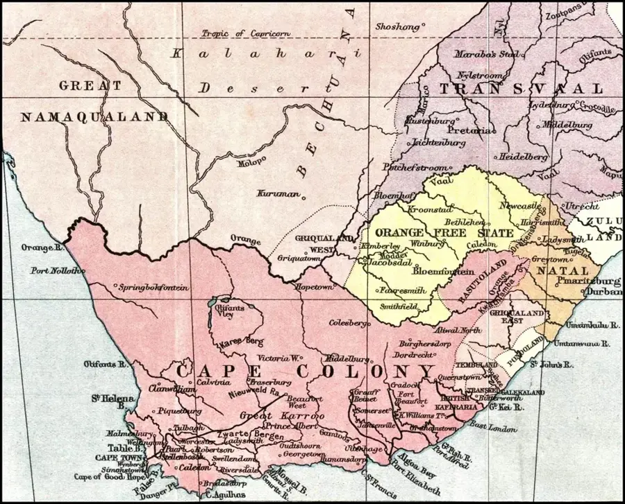
- Location: Lesotho
- Top sights: Mantsopa Local Municipality · Ladybrand · Rose Cottage Cave
- Nearby: Thaba-Bosiu (27 km)
Best time to visit & climate
The most pleasant time to visit is Feb, Mar, Dec.
| Jan | Feb | Mar | Apr | May | Jun | Jul | Aug | Sep | Oct | Nov | Dec | |
|---|---|---|---|---|---|---|---|---|---|---|---|---|
| Avg °C | 22 | 21 | 19 | 15 | 11 | 8 | 8 | 10 | 15 | 18 | 19 | 21 |
| Rain mm | 88 | 77 | 68 | 51 | 16 | 16 | 6 | 16 | 15 | 50 | 77 | 92 |
📋 Practical info
Geography
Facts
- Battle year: 1851
- Boer forces: 500
- Basotho forces: 2,000
- Monument erected: 1920
- Area: 5 ha
- Location: Mohale's Hoek district
Explore nearby
Notable places around
Route planner — Car & Motorhome
Where do you start? We build the route here, with stops and country notes along the way.
© OpenStreetMap contributors · OpenRouteService
Sights in the town Viervoet (3)
Sights nearby
Frequently asked questions
Why is Viervoet historically known?
Can the battlefields be visited?
Is there accommodation nearby?
What should one bring for the visit?
Are the trails marked?
Viervoet: where is it located?
Viervoet: what is there to see?
Viervoet: when is the best time to visit?
Viervoet: why is it worth visiting?

Nearby cities
History & landmarks


More places