Plizio Visual Lab
Korannaberg
Weather…
Water temperature…
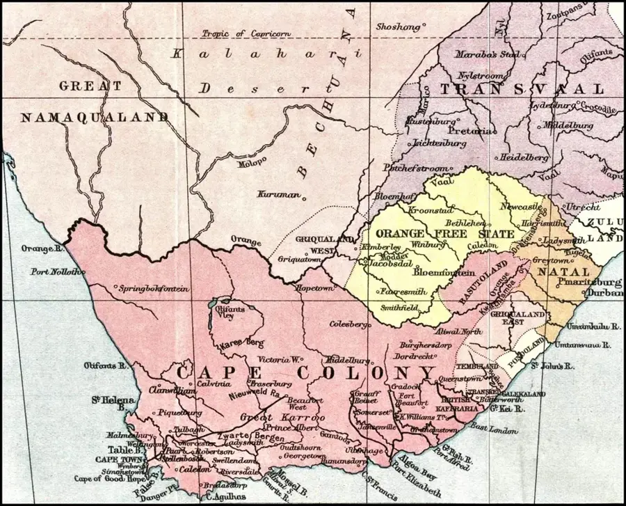
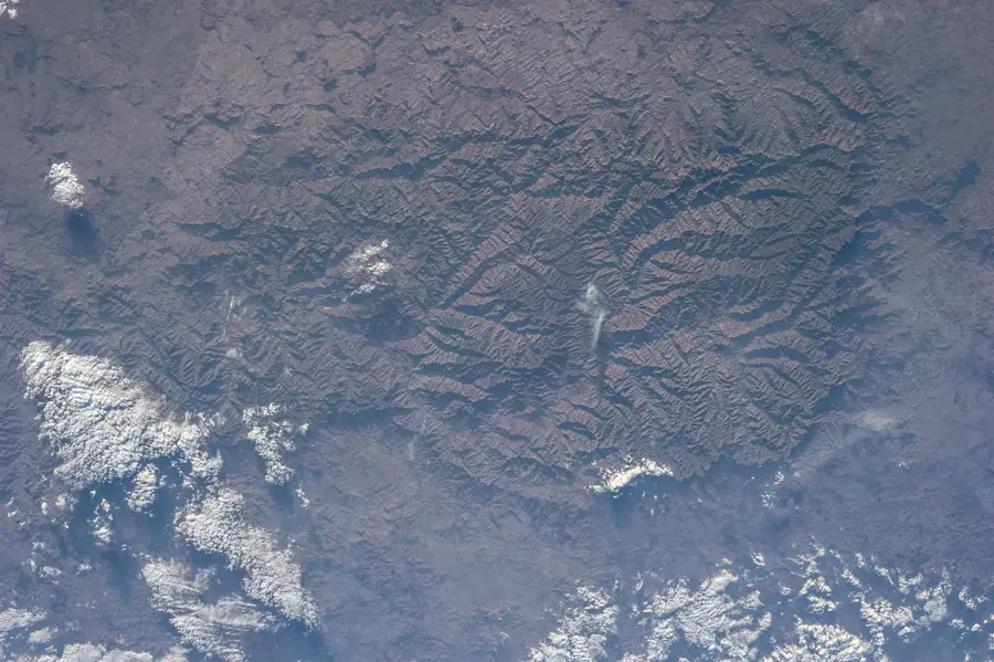
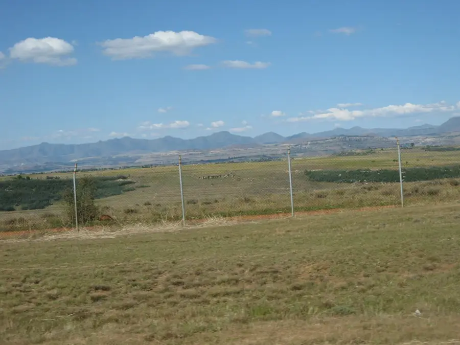
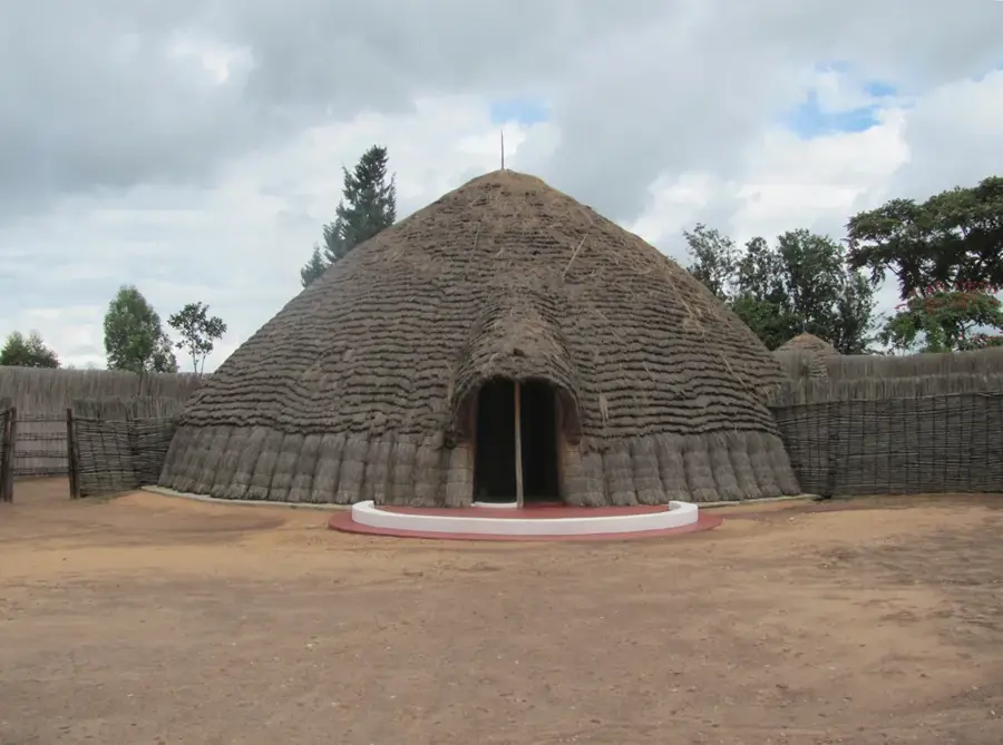
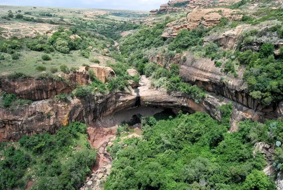
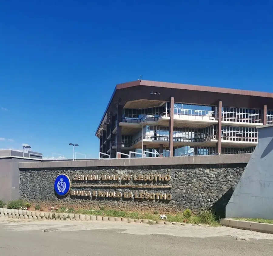
Korannaberg, located along the border of present-day Lesotho and South Africa, stands as a significant historical landmark from the early 19th-century Lifaqane era. It was the site of fierce territorial disputes and defensive battles between the Basotho people and Koranna raiding parties. The Koranna, nomadic groups often armed with muskets and mounted on horseback, posed a severe threat to the livestock and livelihoods of King Moshoeshoe I’s emerging kingdom. The resistance at Korannaberg was pivotal in securing the Basotho’s grazing lands and ensuring the survival of their sovereignty during a period of widespread regional displacement. These conflicts reflect the strategic brilliance of Moshoeshoe I, who utilized the mountainous terrain to protect his people while negotiating complex alliances. Today, Korannaberg is a site of historical reflection, representing the resilience and unity that allowed the Basotho nation to persist amidst the volatile shifts of southern African history.
- Location: Lesotho
- Nearby: Teyateyaneng (34 km)
Best time to visit & climate
The most pleasant time to visit is Feb, Mar, Dec.
| Jan | Feb | Mar | Apr | May | Jun | Jul | Aug | Sep | Oct | Nov | Dec | |
|---|---|---|---|---|---|---|---|---|---|---|---|---|
| Avg °C | 22 | 21 | 19 | 15 | 11 | 8 | 8 | 10 | 15 | 18 | 19 | 21 |
| Rain mm | 88 | 77 | 68 | 51 | 16 | 16 | 6 | 16 | 15 | 50 | 77 | 92 |
📋 Practical info
Geography
Facts
- Highest peak: 2,000 m
- Length: 30 km
- Number of caves: 100+
- Rock art sites: 50+
- Plant species: 500+
- Annual visitors: 10,000
Explore nearby
Notable places around
Route planner — Car & Motorhome
Where do you start? We build the route here, with stops and country notes along the way.
© OpenStreetMap contributors · OpenRouteService
Sights nearby
Frequently asked questions
What event took place at Korannaberg?
Is the terrain accessible by regular cars?
Are there information boards on site?
Is camping allowed on the site?
What clothing is recommended?
Korannaberg: where is it located?
Korannaberg: when is the best time to visit?
Korannaberg: why is it worth visiting?

Nearby cities
History & landmarks


More places