Plizio Visual Lab
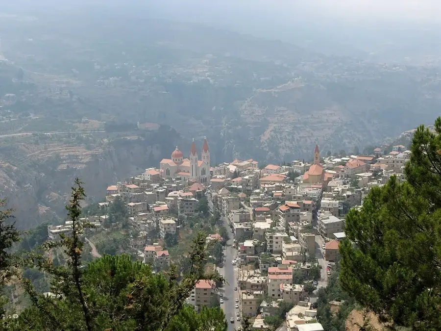
Tannourine Mountains

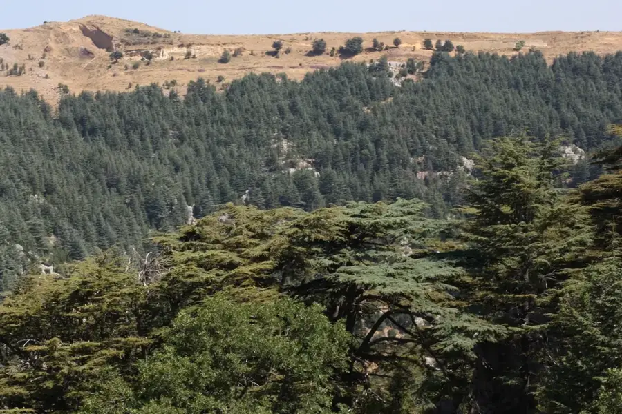
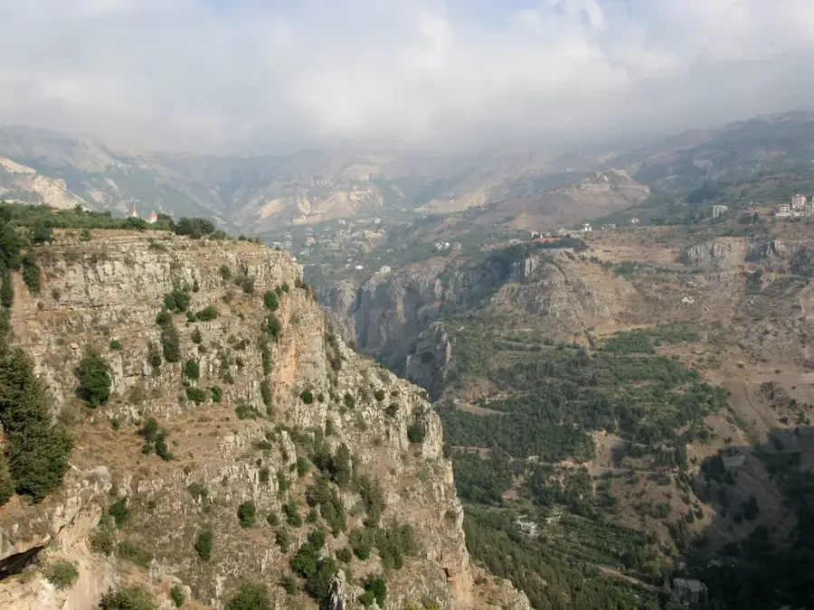
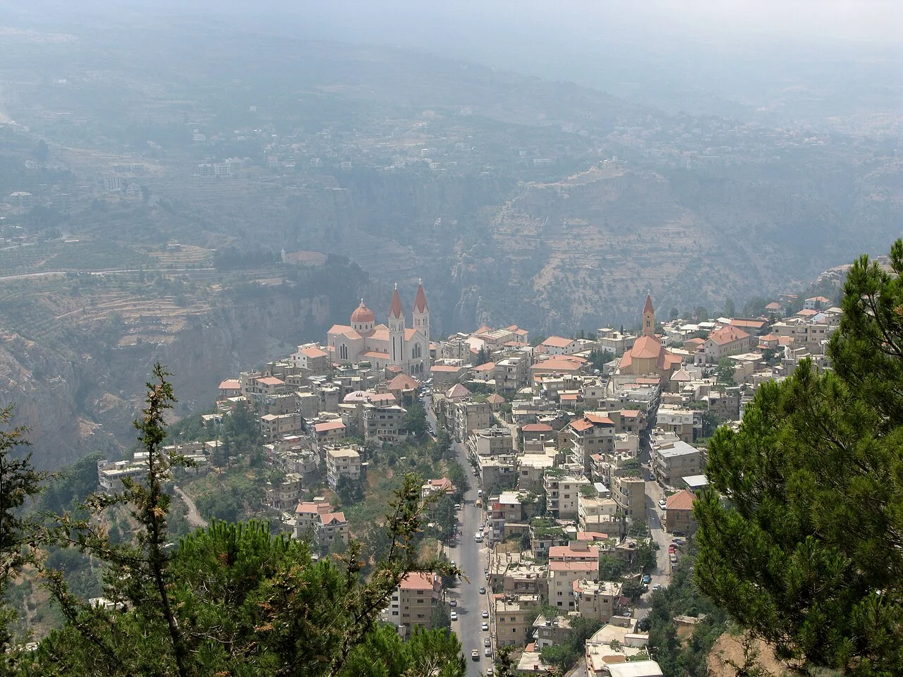
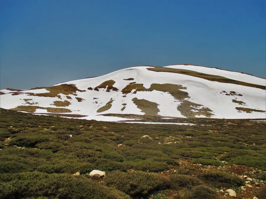
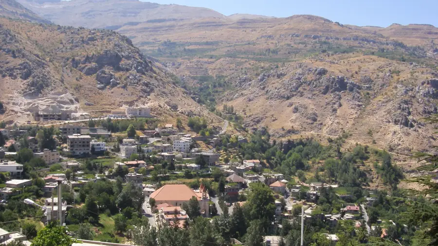
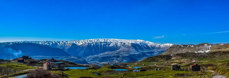
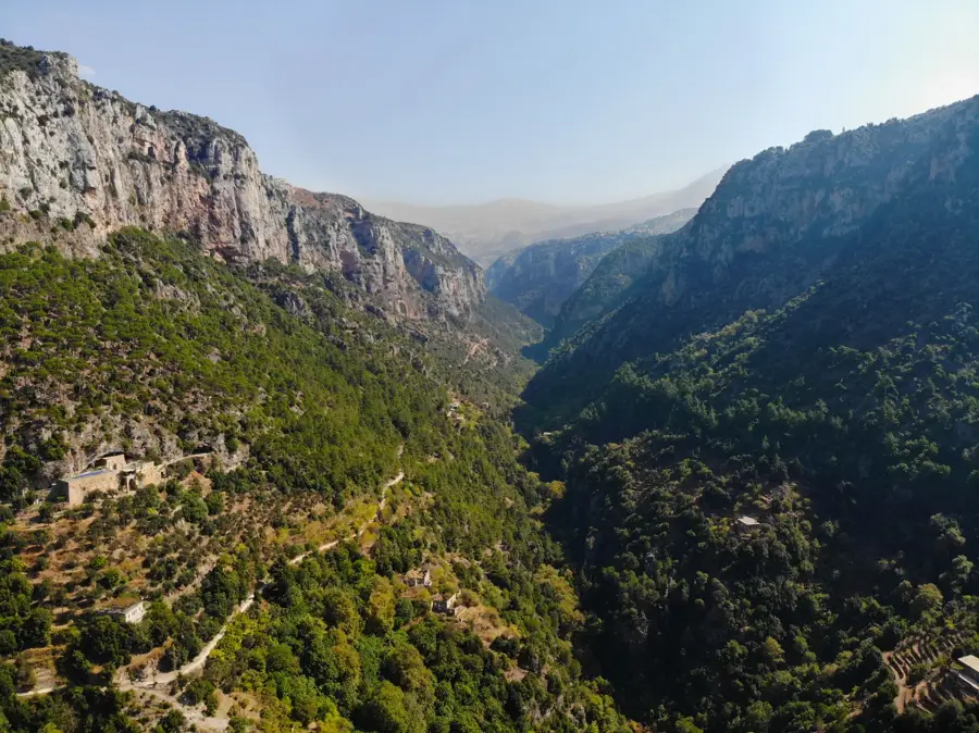
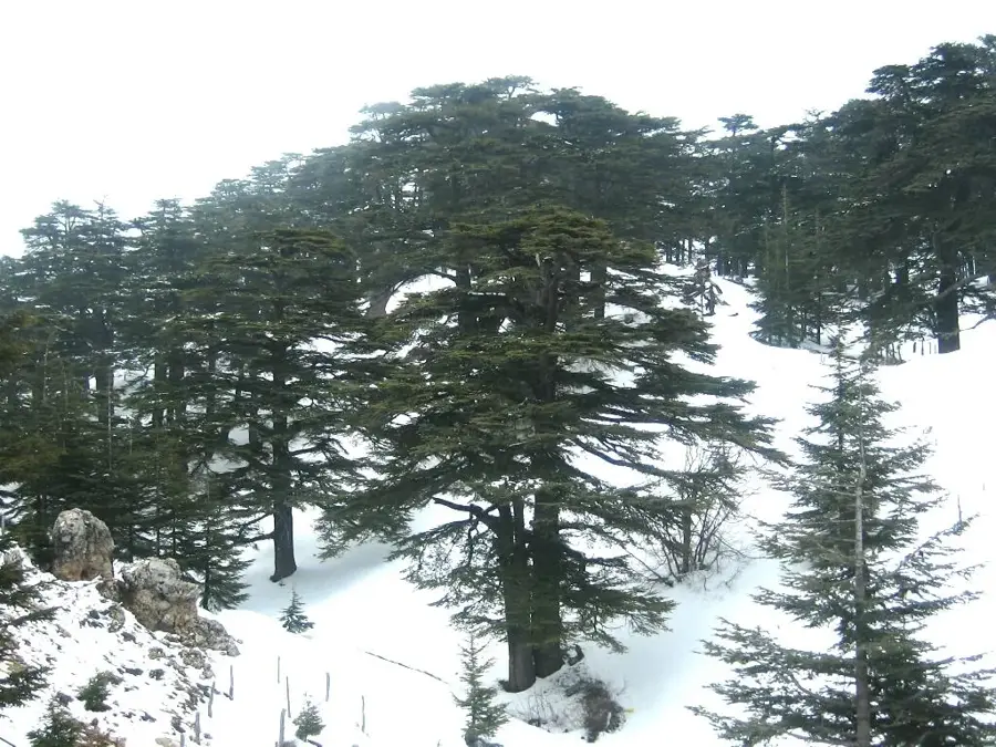
The Tannourine Mountains in northern Lebanon host one of the densest and best-preserved cedar forests in the country. The Tannourine Cedar Forest Nature Reserve is situated within a rugged high-altitude landscape characterized by deep canyons and jagged limestone cliffs. Geologically, the region is famous for its spectacular karst formations, including the renowned Baatara Gorge with its three-tiered waterfall that plunges into a massive Jurassic cavern. The cedars of Tannourine often grow on extremely steep slopes, which historically protected them from excessive logging and deforestation. The climate here is alpine, featuring snowy winters and cool summers, providing good conditions for the Cedrus libani to thrive. Archaeological remains in the mountains suggest that hermits and local communities have utilized the area’s caves and shelters since Byzantine times. The region plays a crucial role in Lebanon's hydrology, as melting snow recharges numerous underground rivers and springs. Today, Tannourine is a hub for sustainable tourism, offering world-class rock climbing, hiking, and nature photography in one of the Middle East's wildest settings.
- Location: Lebanon
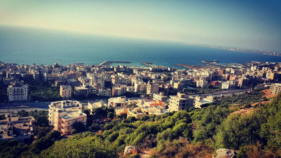
- Nearby: Tannourine (6 km)
Best time to visit & climate
The most pleasant time to visit is Jun, Jul, Sep.
| Jan | Feb | Mar | Apr | May | Jun | Jul | Aug | Sep | Oct | Nov | Dec | |
|---|---|---|---|---|---|---|---|---|---|---|---|---|
| Avg °C | 3 | 4 | 7 | 11 | 16 | 20 | 23 | 24 | 21 | 16 | 9 | 5 |
| Rain mm | 78 | 57 | 32 | 18 | 9 | 2 | 0 | 1 | 4 | 15 | 36 | 60 |
📋 Practical info
Geography
Facts
- The reserve protects approximately 80% of the cedars in the region.
- Home to the Baatara Gorge waterfall, which drops 255 meters.
- The rock formations date primarily from the Jurassic period.
- The nature reserve was officially established by law in 1999.
- The elevation of the area ranges between 1,500 and 1,800 meters.
- A premier destination for rock climbing in the Middle East.
Explore nearby
Notable places around
Route planner — Car & Motorhome
Where do you start? We build the route here, with stops and country notes along the way.
© OpenStreetMap contributors · OpenRouteService
Sights in the town Tannourine Mountains (1)
Sights nearby
Frequently asked questions
What is special about the Tannourine Mountains?
What is the Baatara Waterfall?
When is the best time to see the waterfall?
Are there climbing opportunities in Tannourine?
What is the terrain like in the cedar reserve?
Tannourine Mountains: where is it located?
Tannourine Mountains: when is the best time to visit?
Tannourine Mountains: why is it worth visiting?

Nearby cities

History & landmarks

Nature
More places