Plizio Visual Lab
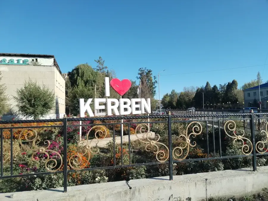
Kerben
ℹ️Practical info — Kerben
▾
🌤 Weather — 5 days
📍 Nearby
Sights nearby
💡 Tips
- Use shared taxis (marshrutkas) from the town center to travel between nearby villages.
- The weather in the mountains changes quickly, so dress in layers.
- Make this town your base for exploring the impressive Padysha-Ata State Nature Reserve.
- Keep small denomination soms (local currency) handy for bazaar purchases.
🍽 Food
A traditional meat and noodle dish found in local chaykhanas (teahouses).
Fermented mare's milk, available in the summer months directly from local herders.
Baked meat pastries, first-rate for a quick snack from market stalls.
🛍 Shopping · 🧘 Quiet spots
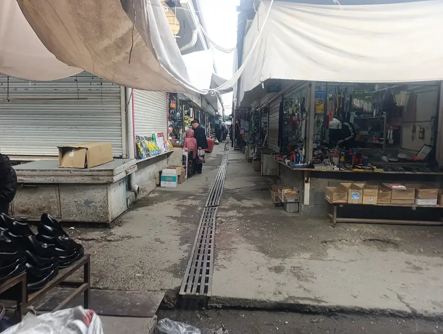
Excellent quality, widely sold at the central bazaar.
Dried yogurt balls, a popular and salty local snack.
Sometimes available from local women's artisan groups.
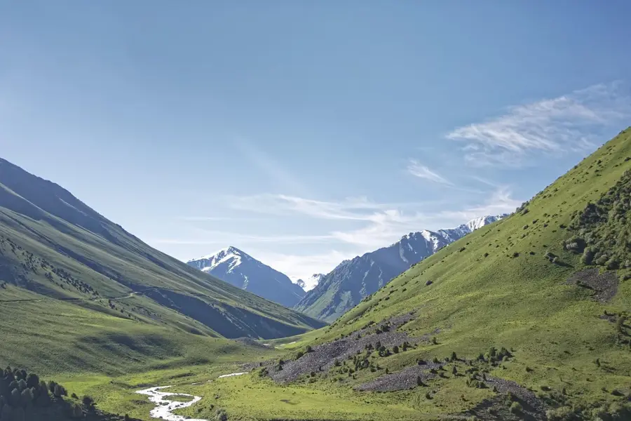
Provides beautiful valleys and juniper forests just a short drive away.
Excellent for solitary hikes and enjoying the crisp mountain air.
Water temperature…
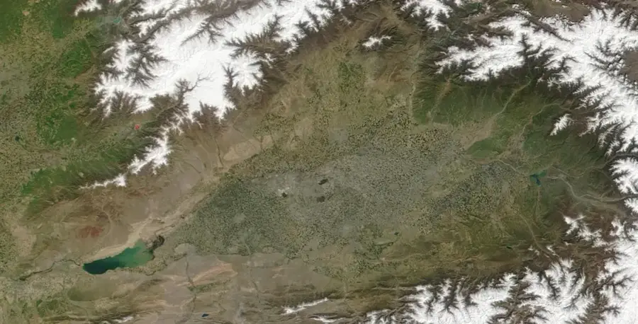
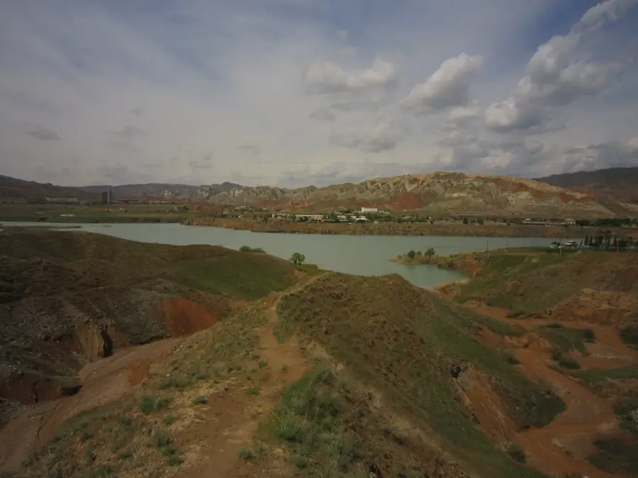
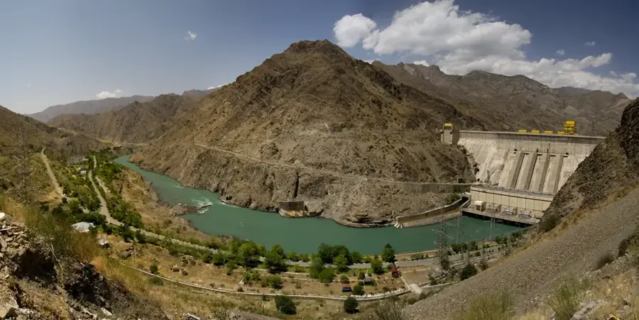
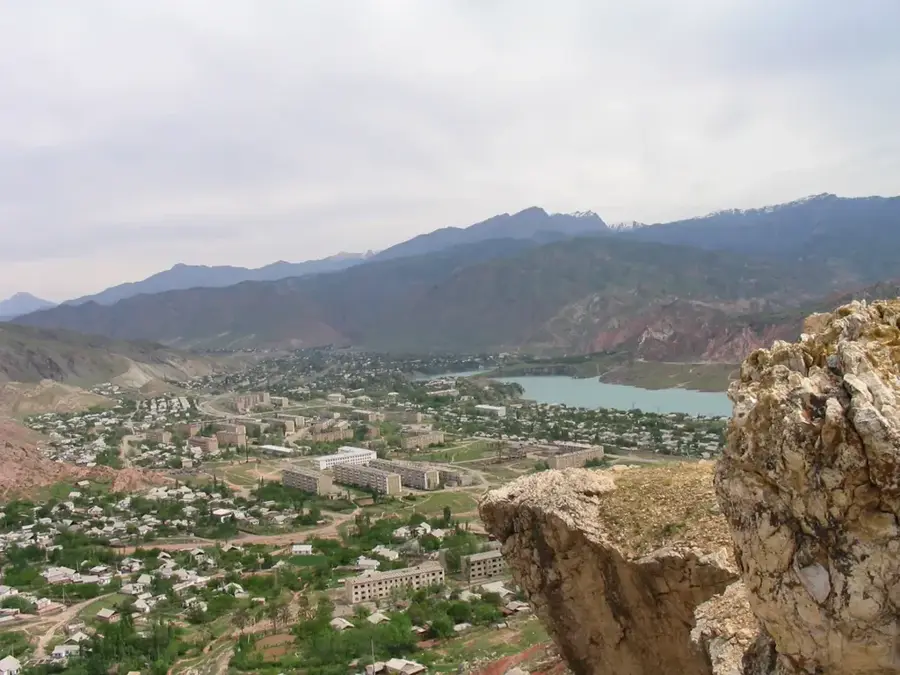
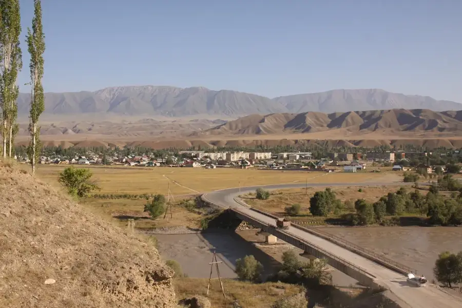
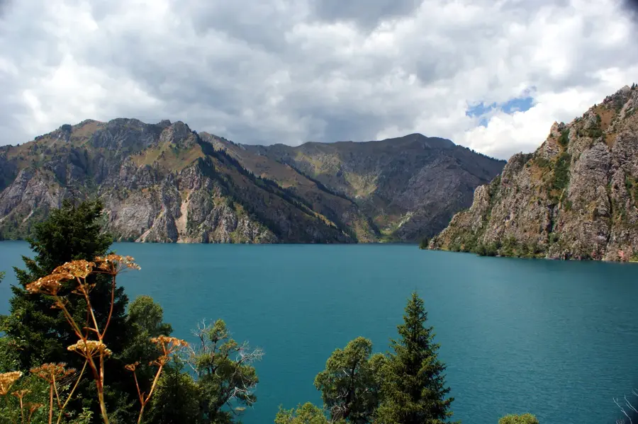
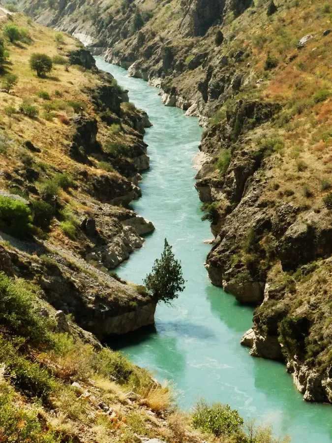
Kerben lies in the Aksy District of the Jalal-Abad Region, in an easy on the eye mountain setting at about 950 metres above sea level, where the Fergana Valley gives way to the Inner Tian Shan. The town has roughly 14,000 inhabitants and was known until 2002 by the name Karavan, a name that already hints at its historical role in long-distance trade: through the nearby gorge of the Kasan-Say River, caravans travelled for centuries from the Fergana Valley over high mountain passes towards Kashgar in China's Tarim Basin. In 2004 Kerben was officially granted city status. The local economy is based on irrigated agriculture, with tobacco, maize, apricots and pomegranates, as well as cattle and deer farming. The nearby Sary-Chelek Biosphere Reserve, with its turquoise alpine lake and ancient walnut forests, also makes Kerben a gateway for nature tourism.
- Location: Kyrgyzstan
- Top sights: Kerben, Kyrgyzstan · Aksy District
- Nearby: Safid-Bulan (12 km)
- Population: ~14.141 (2017)
Best time to visit & climate
The most pleasant time to visit is Jun, Aug, Sep.
| Jan | Feb | Mar | Apr | May | Jun | Jul | Aug | Sep | Oct | Nov | Dec | |
|---|---|---|---|---|---|---|---|---|---|---|---|---|
| Avg °C | -2 | 0 | 6 | 12 | 17 | 22 | 25 | 24 | 18 | 11 | 4 | -1 |
| Rain mm | 23 | 32 | 36 | 36 | 28 | 17 | 8 | 7 | 7 | 22 | 32 | 29 |
Geography
Facts
- Formerly known as Karavan, a stop on the Silk Road.
- Administrative centre of the Aksy District.
- Located in a fertile oasis along the Kasansay River.
- Officially granted city status only in 2004.
- A gateway to the Sary-Chelek Biosphere Reserve.
- Known for cotton and tobacco cultivation.
- The region is famous for its untouched mountain scenery.
Explore nearby
Notable places around
Route planner — Car & Motorhome
Where do you start? We build the route here, with stops and country notes along the way.
© OpenStreetMap contributors · OpenRouteService
Sights in the town Kerben (2)
Frequently asked questions
Where is Kerben located?
What natural attraction is nearby?
What is the main activity of the residents?
What is the infrastructure like?
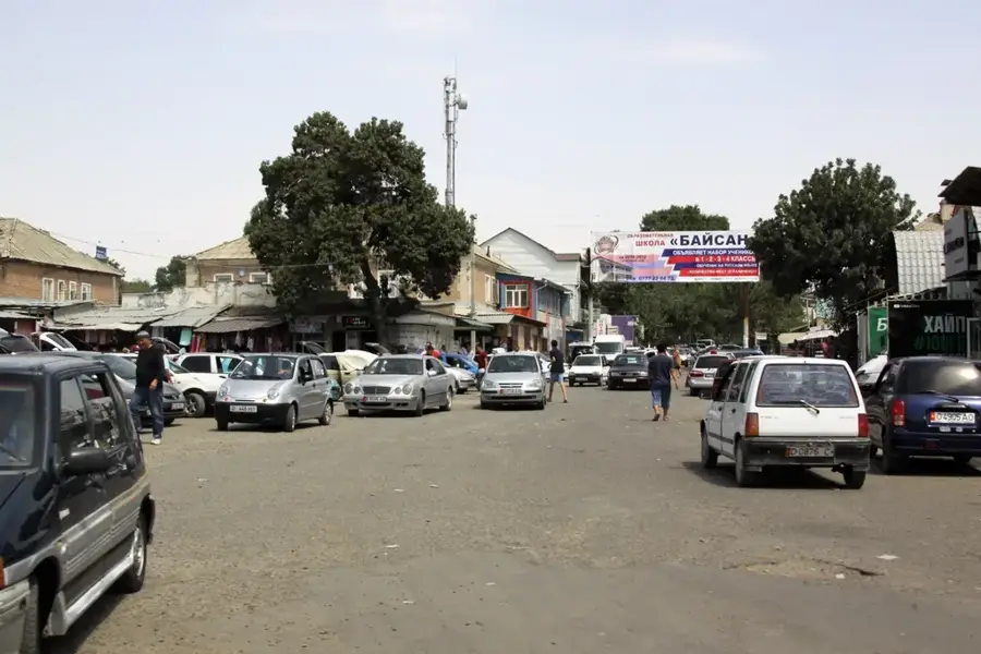
Are there markets there?
Kerben: where is it located?
Kerben: what is there to see?
Kerben: when is the best time to visit?
Kerben: why is it worth visiting?

Nearby cities
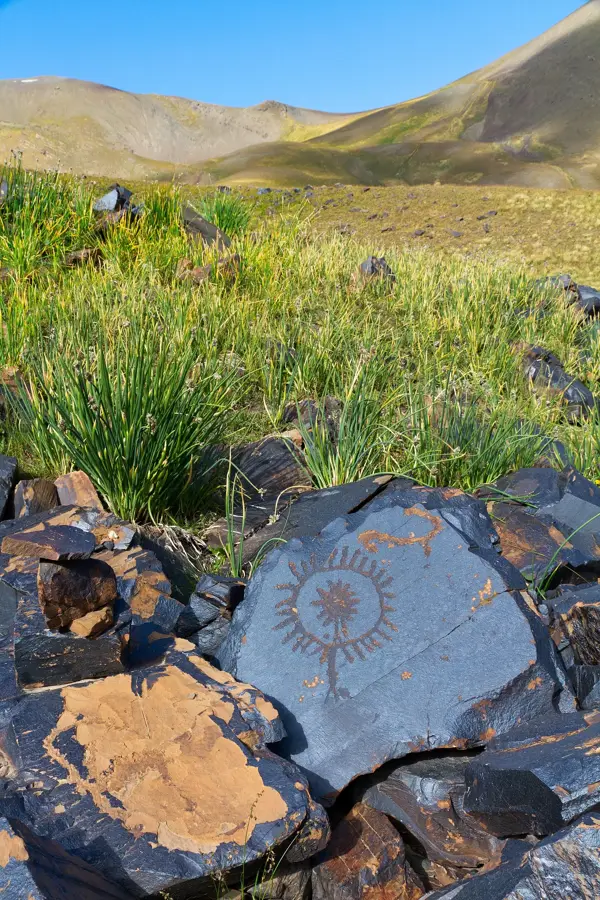
History & landmarks
Nature

More places