Plizio Visual Lab
Kurpsai Hydroelectric Power Station
Weather…
Water temperature…
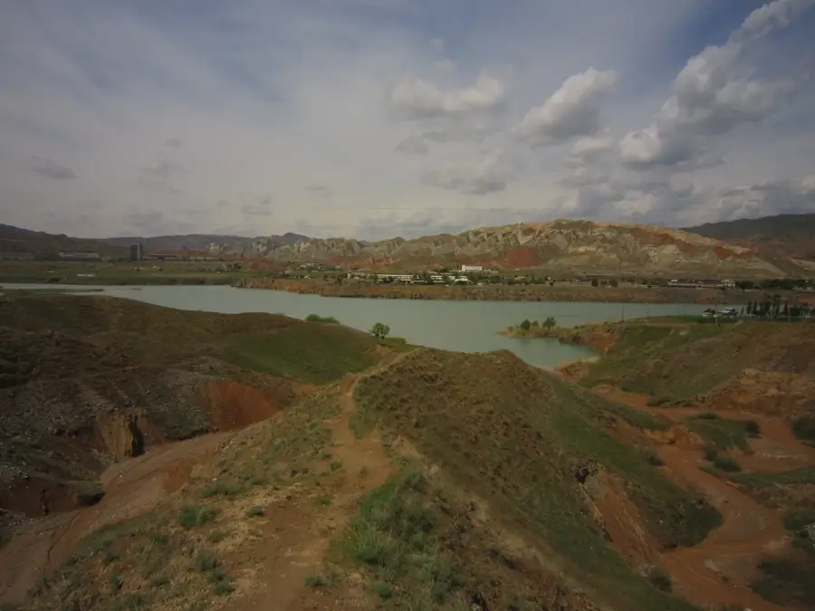
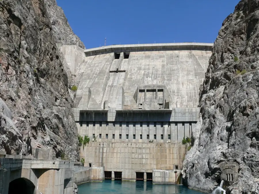
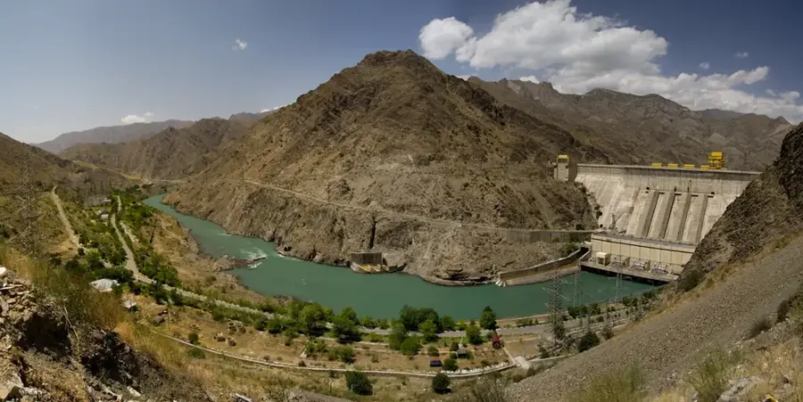
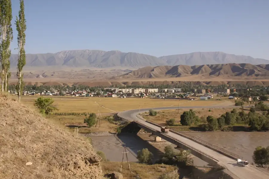
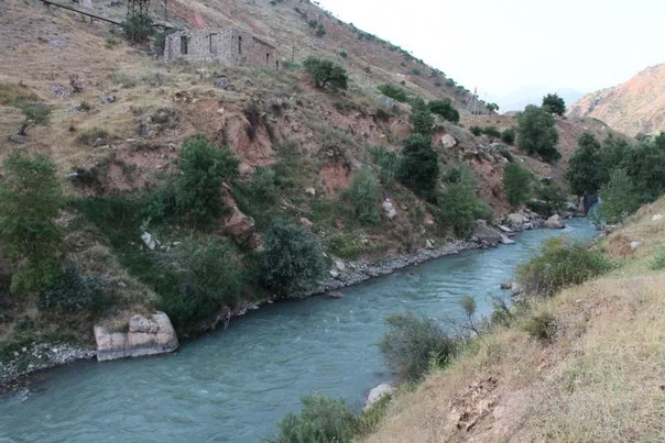
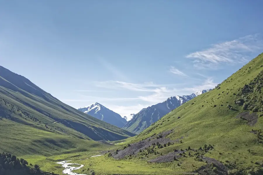
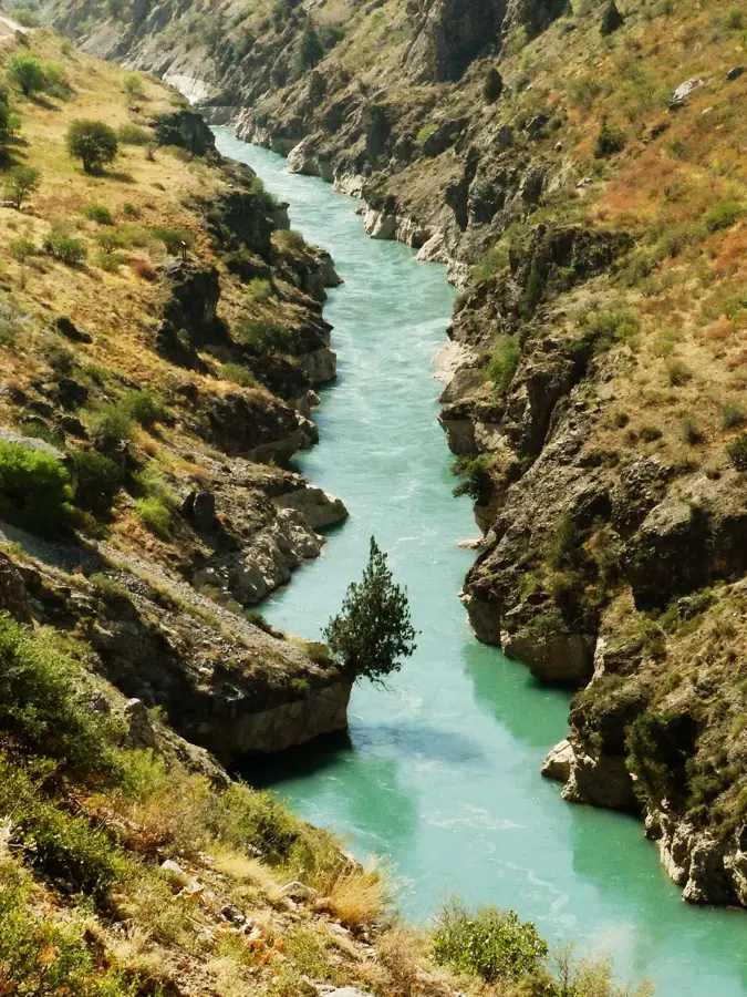
The Kurpsai Hydroelectric Power Station is the second stage of the Naryn Cascade in Kyrgyzstan, located downstream from the Toktogul Dam. With an installed capacity of 800 MW, it ranks as the second most powerful hydroelectric plant in the country. The facility was constructed during the late 1970s and early 1980s, with the first turbine commissioned in 1981. The plant features a 113-meter-high concrete gravity dam spanning a narrow gorge of the Naryn River. As a run-of-the-river station, its operation is closely synchronized with the water release from the upstream Toktogul reservoir. Kurpsai is equipped with four generating units, each with a capacity of 200 MW. The construction was noted for its technical complexity due to the challenging geological and seismic conditions of the mountainous region. It produces an average of 2.6 billion kWh annually, playing a vital role in national energy security and regional electricity trade. The station remains a testament to large-scale hydraulic engineering in high-altitude environments and undergoes regular maintenance to sustain its generation efficiency.
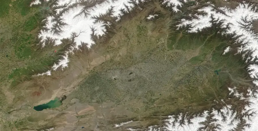
- Location: Kyrgyzstan
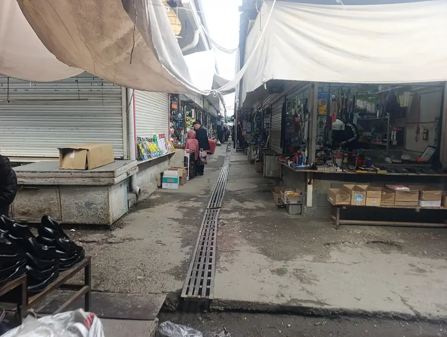
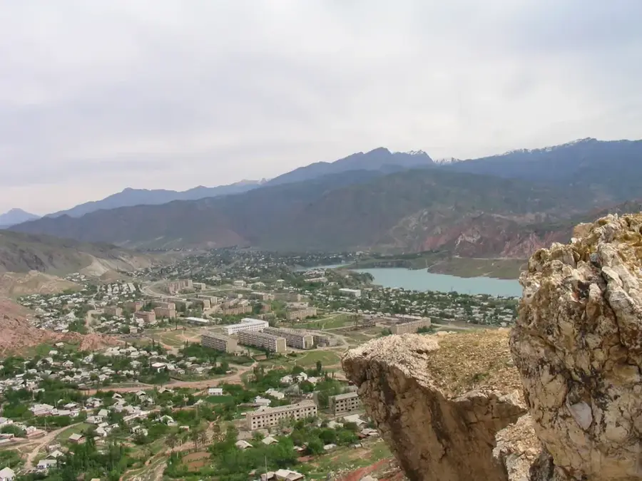
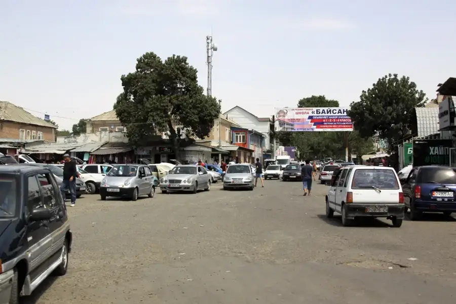
- Nearby: Tash-Kumyr (15 km)
Best time to visit & climate
The most pleasant time to visit is Jun–Aug.
| Jan | Feb | Mar | Apr | May | Jun | Jul | Aug | Sep | Oct | Nov | Dec | |
|---|---|---|---|---|---|---|---|---|---|---|---|---|
| Avg °C | -5 | -3 | 4 | 10 | 15 | 20 | 23 | 22 | 16 | 9 | 2 | -4 |
| Rain mm | 21 | 30 | 36 | 40 | 29 | 18 | 8 | 7 | 7 | 23 | 33 | 27 |
📋 Practical info
Geography
Facts
- Second largest hydroelectric plant in Kyrgyzstan with 800 MW capacity
- The dam structure stands at a height of 113 meters
- The first generating unit was commissioned in 1981
- Integral part of the Naryn Cascade, located downstream of Toktogul
- Generates an average of 2.6 billion kWh of electricity per year
- Equipped with four vertical Francis turbines of 200 MW each
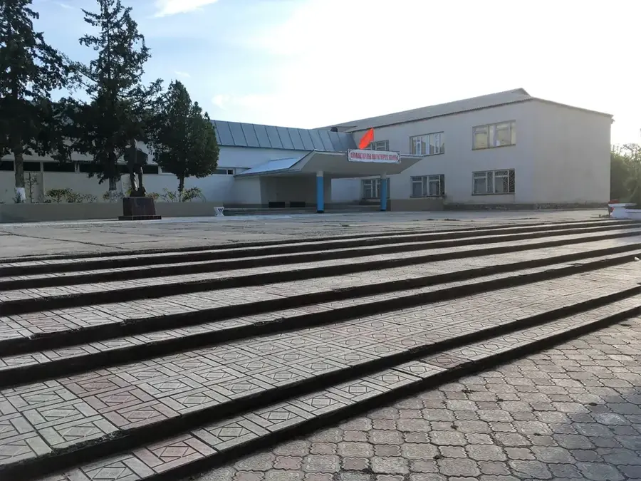
Explore nearby
Notable places around
Route planner — Car & Motorhome
Where do you start? We build the route here, with stops and country notes along the way.
© OpenStreetMap contributors · OpenRouteService
Sights nearby
Frequently asked questions
Where is the Kurpsai HPP located?
What does the dam look like?
Can you see the power plant from the road?
How much power does Kurpsai produce?
When was it commissioned?
Kurpsai Hydroelectric Power Station: where is it located?
Kurpsai Hydroelectric Power Station: when is the best time to visit?
Kurpsai Hydroelectric Power Station: why is it worth visiting?

Nearby cities

History & landmarks
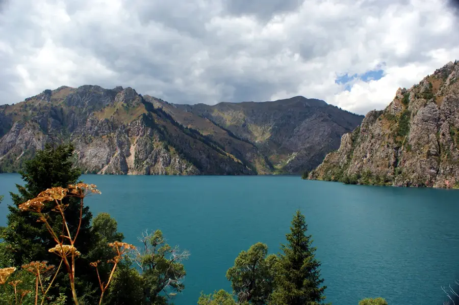
Nature

More places