Plizio Visual Lab
Chatkal River
Weather…
Water temperature…
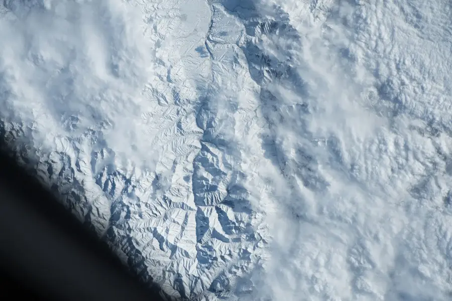
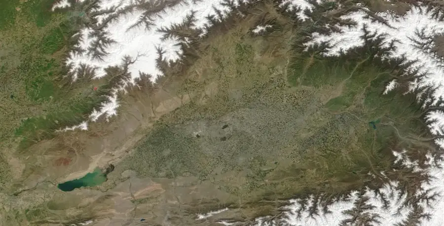
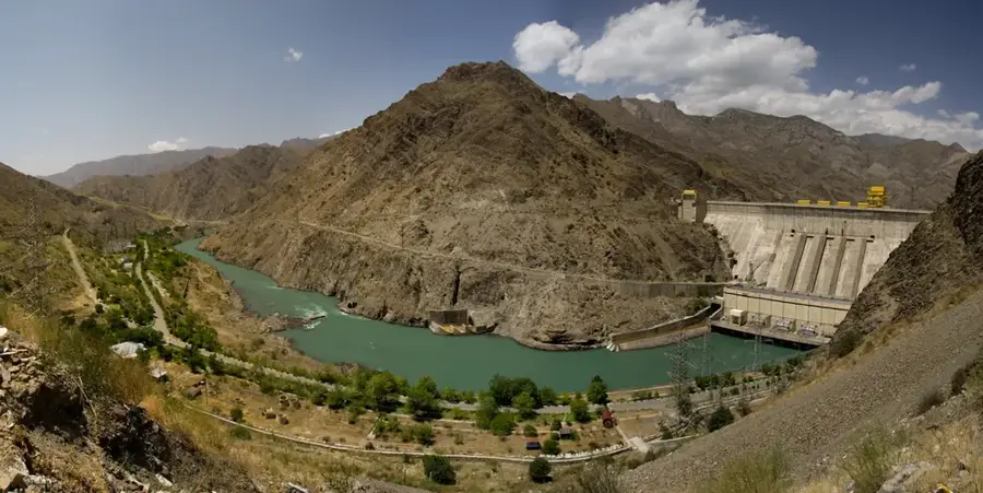
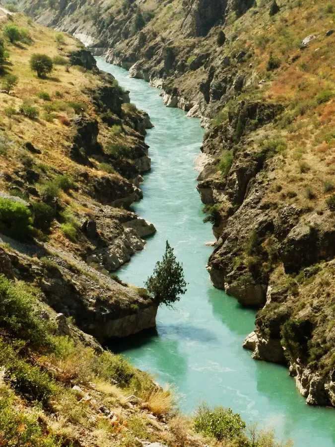
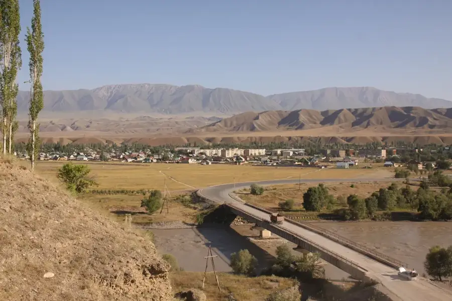
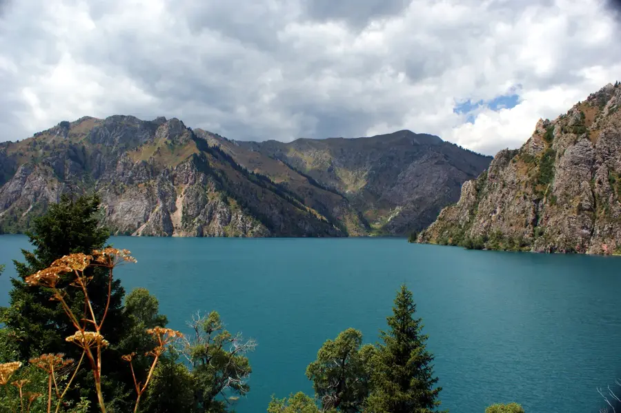
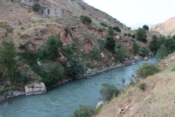
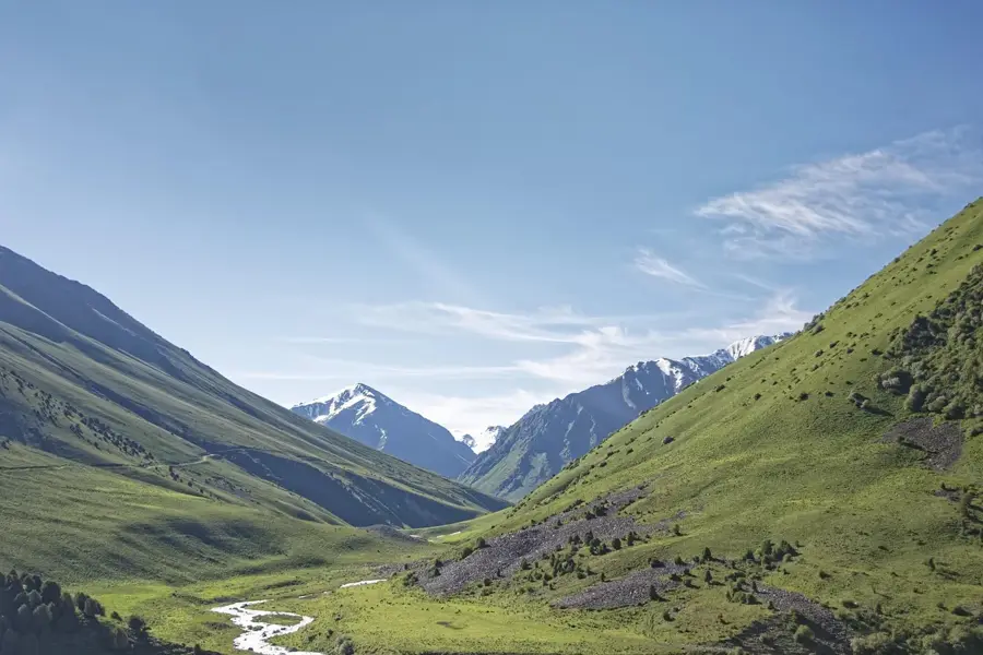
The Chatkal River is a major waterway in the western Tian Shan mountains, flowing primarily through the Jalal-Abad Region of Kyrgyzstan. With a total length of approximately 217 kilometers, it originates from the confluence of the Karakuldzha and Ters streams at the southwestern end of the Talas Alatau. The river carves through a remote and deeply incised valley between the Chatkal and Pskem mountain ranges before crossing the border into Uzbekistan to empty into the Charvak Reservoir. Due to its powerful current and numerous rapids, the Chatkal is a premier destination for extreme whitewater rafting and kayaking in Central Asia. The region surrounding the river is known for its pristine wilderness, limestone cliffs, and rich flora, including relict thorny shrubs and wild fruit trees. Historically, the valley served as a vital route for nomadic tribes, providing shelter within the inaccessible gorges of the western high mountains.
- Location: Kyrgyzstan
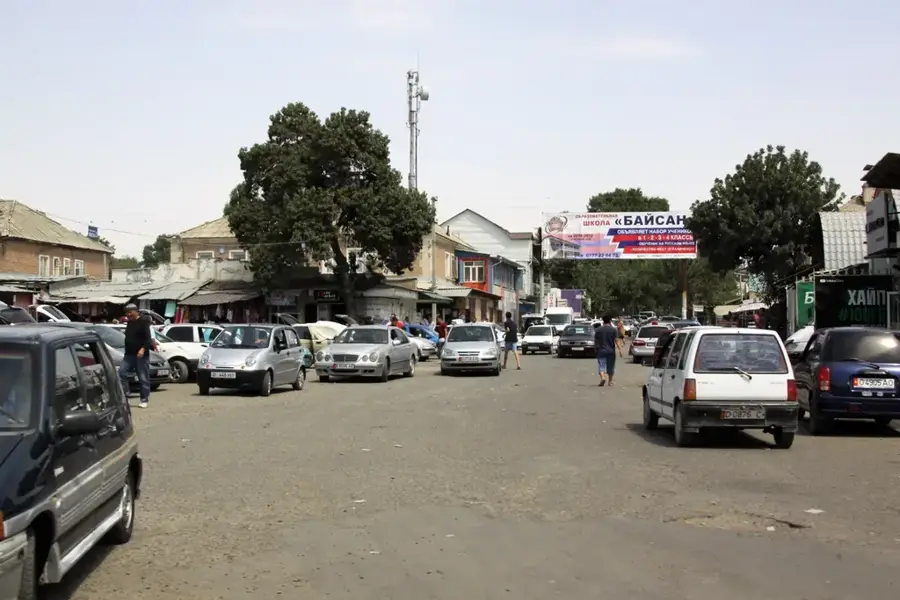
- Nearby: Batken (57 km)
Best time to visit & climate
The most pleasant time to visit is Jun–Aug.
| Jan | Feb | Mar | Apr | May | Jun | Jul | Aug | Sep | Oct | Nov | Dec | |
|---|---|---|---|---|---|---|---|---|---|---|---|---|
| Avg °C | -9 | -7 | 0 | 6 | 11 | 16 | 19 | 18 | 12 | 5 | -1 | -7 |
| Rain mm | 29 | 39 | 41 | 40 | 30 | 18 | 7 | 7 | 8 | 25 | 38 | 37 |
📋 Practical info
Geography
Facts
- The total length of the river is approximately 217 kilometers.
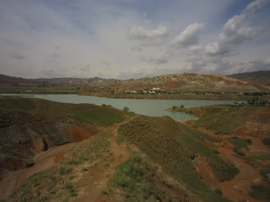
- The Chatkal empties into the Charvak Reservoir in Uzbekistan.
- Its valley forms the boundary between the Chatkal and Pskem ranges.
- The peak water discharge during summer can reach 711 cubic meters per second.
- It is ranked as one of the most challenging rafting locations in the CIS.
- Much of its upper basin lies within the Besh-Aral State Nature Reserve.
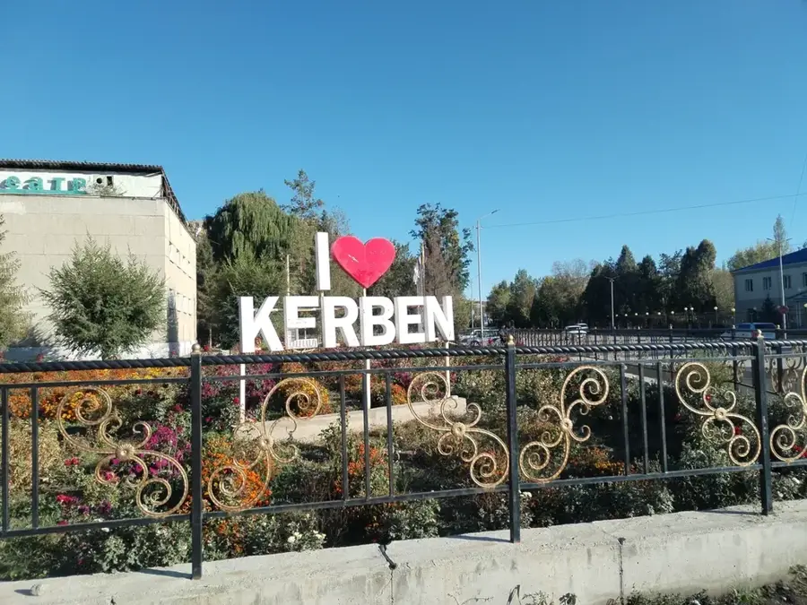
Explore nearby
Notable places around
Route planner — Car & Motorhome
Where do you start? We build the route here, with stops and country notes along the way.
© OpenStreetMap contributors · OpenRouteService
Sights nearby
Frequently asked questions
What is the Chatkal River known for?
In which mountain range is the river located?
Is the area developed for tourism?
What flora is found in the valley?
When should a rafting trip be planned?
Chatkal River: where is it located?
Chatkal River: when is the best time to visit?
Chatkal River: why is it worth visiting?

Nearby cities
History & landmarks
Nature

More places