Plizio Visual Lab
Saimaluu-Tash

Weather…
Water temperature…
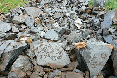
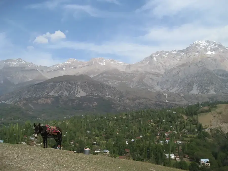
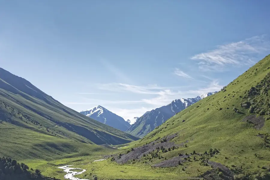
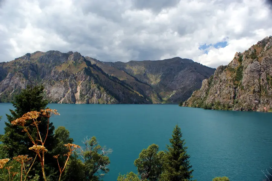
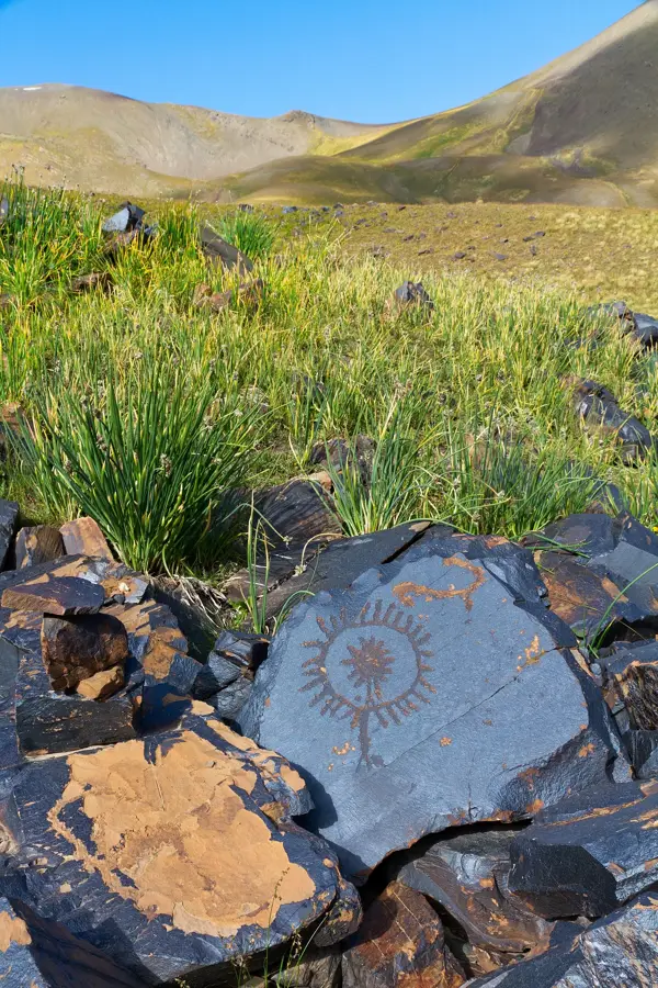
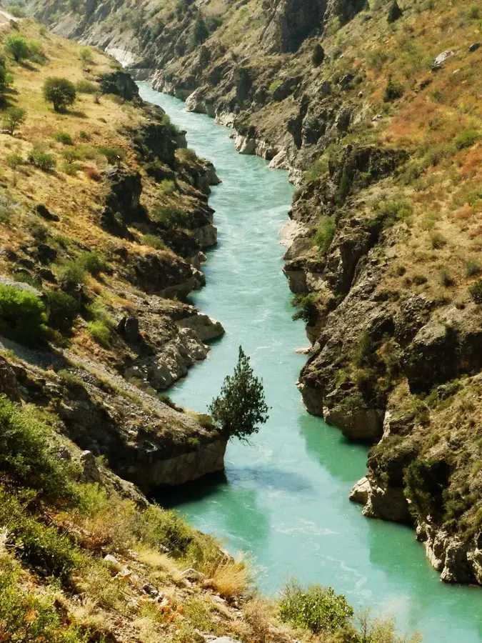
Saimaluu-Tash, which translates to 'patterned stone', is a world-class archaeological site in the Fergana Range. At an altitude of over 3,000 meters, this high valley houses more than 10,000 stones with carvings dating back to the Bronze Age. The depictions include animals, hunting scenes, religious rituals, and astronomical symbols, providing deep insight into the spiritual world of early Central Asian inhabitants. Access to this open-air museum is difficult and only possible during the summer months of July and August when the snow has melted. The journey requires a multi-day hike or ride through pristine mountain landscapes, making the visit a true expedition. The isolation has helped the petroglyphs remain in a remarkable state of preservation over millennia. Although there is no tourist infrastructure on-site, the experience of camping under the open sky amidst this ancient art is incomparable. Visitors should travel self-sufficiently and bring necessary gear for extreme mountain conditions. Saimaluu-Tash is a sacred place for archaeology enthusiasts and adventurers wanting to explore the origins of human civilization in one of the earth's most remote regions.
- Location: Kyrgyzstan
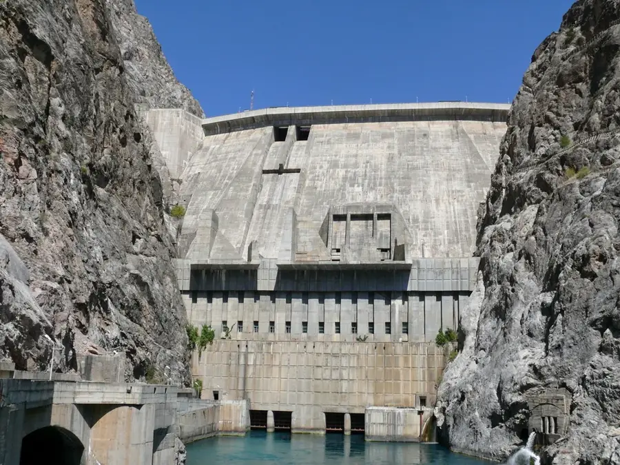
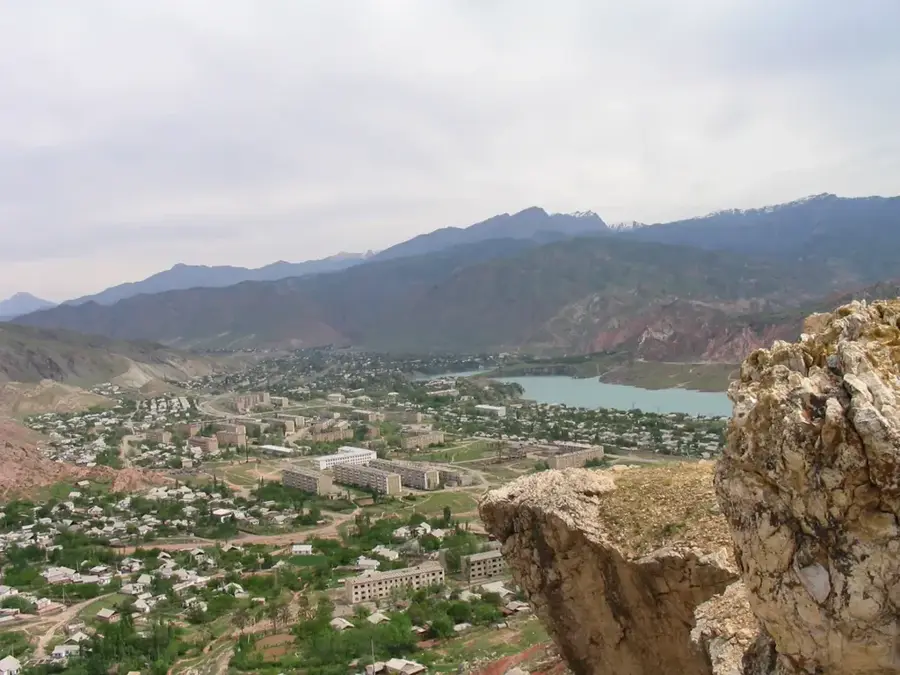
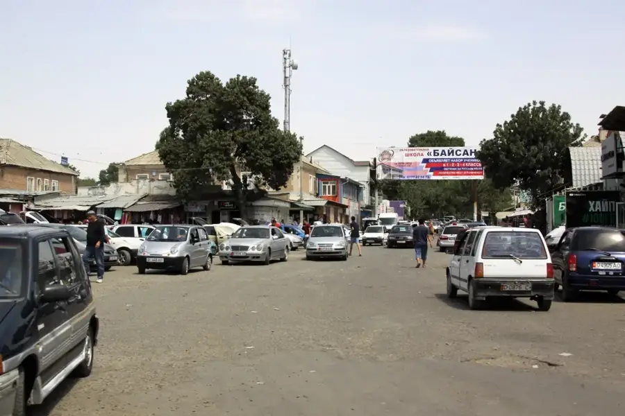
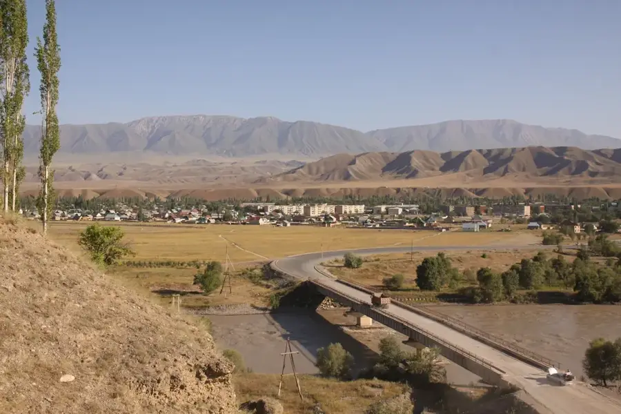
- Nearby: Kazarman (22 km)
Best time to visit & climate
The most pleasant time to visit is Jun–Aug.
| Jan | Feb | Mar | Apr | May | Jun | Jul | Aug | Sep | Oct | Nov | Dec | |
|---|---|---|---|---|---|---|---|---|---|---|---|---|
| Avg °C | -7 | -5 | 1 | 6 | 11 | 16 | 19 | 18 | 13 | 6 | 0 | -6 |
| Rain mm | 22 | 31 | 38 | 44 | 33 | 22 | 10 | 8 | 7 | 24 | 34 | 27 |
📋 Practical info
Geography
Facts
- Over 10,000 petroglyphs
- Bronze Age art
- Altitude: 3,000 m - 3,450 m
- Accessible July-August only
- Multi-day ride required
- UNESCO tentative list
- Sacred ancient site
- Fergana Range
Explore nearby
Notable places around
Route planner — Car & Motorhome
Where do you start? We build the route here, with stops and country notes along the way.
© OpenStreetMap contributors · OpenRouteService
Sights nearby
Frequently asked questions
Saimaluu-Tash: where is it located?
Saimaluu-Tash: when is the best time to visit?
Saimaluu-Tash: why is it worth visiting?

Nearby cities

History & landmarks
Nature

More places