Plizio Visual Lab
Cherangani Hills

Weather…
Water temperature…
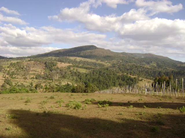
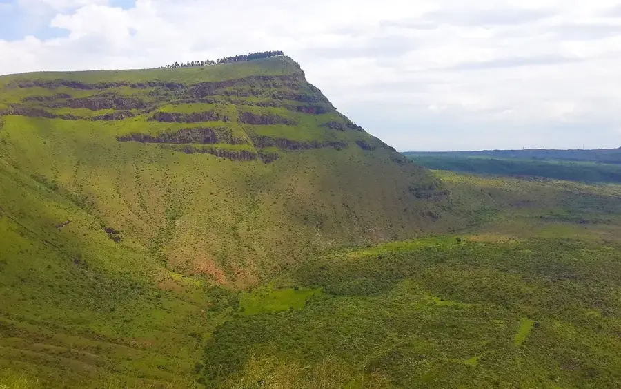
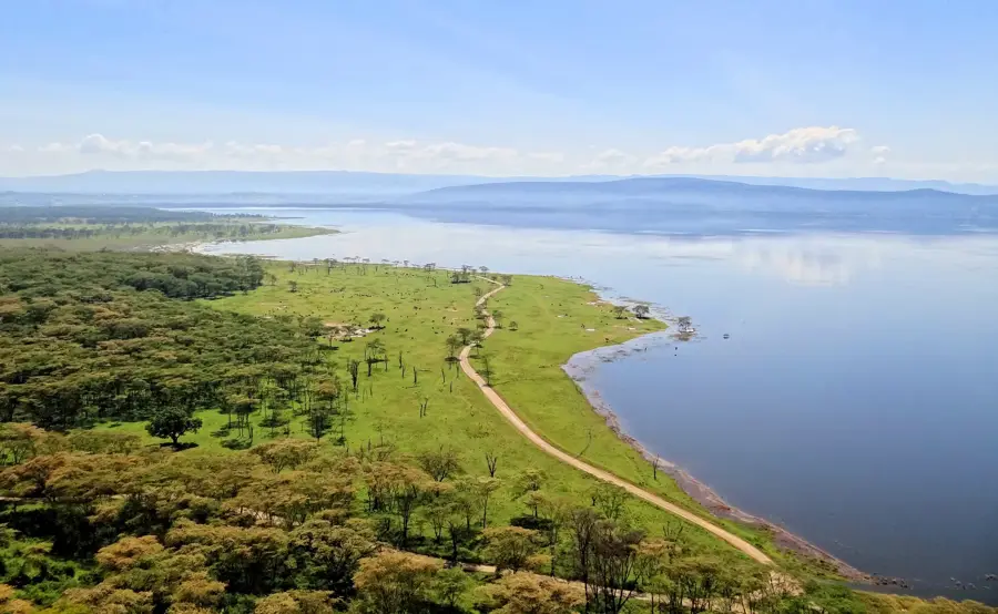
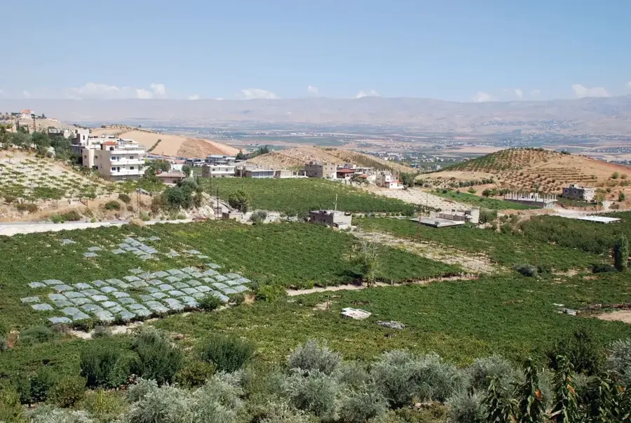
The Cherangani Hills are a distinctive mountain massif in western Kenya, spanning the districts of Trans-Nzoia, West Pokot, and Elgeyo-Marakwet. Unlike most mountains in the Rift Valley, which are of volcanic origin, the Cheranganis are predominantly composed of Precambrian metamorphic rocks. Reaching heights of up to 3,370 meters, they form a spectacular backdrop and are one of the country's five main 'water towers.' The hills are covered by a mosaic landscape of dense forests, open grasslands, and moorlands. The flora is particularly notable for its endemic species, including giant lobelias and senecios that flourish at higher elevations. Geomorphologically, the hills are characterized by deep gorges and steep slopes overlooking the Elgeyo Escarpment. The region is a vital sanctuary for rare birds such as the lammergeier and provides a habitat for numerous primate species. Traditionally, the area is the home of the Sengwer people, whose culture is closely tied to the forests of the hills. The climate is temperate to cool with frequent rainfall, ensuring lush vegetation throughout the year.
- Location: Kenya
- Nearby: Kapenguria (37 km)
📋 Practical info
Geography
Facts
- The highest point is Cheptuaret at an elevation of 3,370 meters.
- Geologically, they consist of the Precambrian basement complex.
- They are one of Kenya's five primary water catchment areas.
- The hills are home to the critical Embobut Forest.
- They form the western wall of the spectacular Kerio Valley.
- The rare Giant Lobelia deckenii species grows here.
Explore nearby
Notable places around
Route planner — Car & Motorhome
Where do you start? We build the route here, with stops and country notes along the way.
© OpenStreetMap contributors · OpenRouteService
Sights nearby
Frequently asked questions
How difficult is hiking in the Cherangani Hills?
When is the best time to visit this region?
Are there any toilets or restaurants on-site?
What clothing is recommended?
Do I need a guide?
Cherangani Hills: where is it located?
Cherangani Hills: why is it worth visiting?

Nearby cities

Nature

More places