Plizio Visual Lab
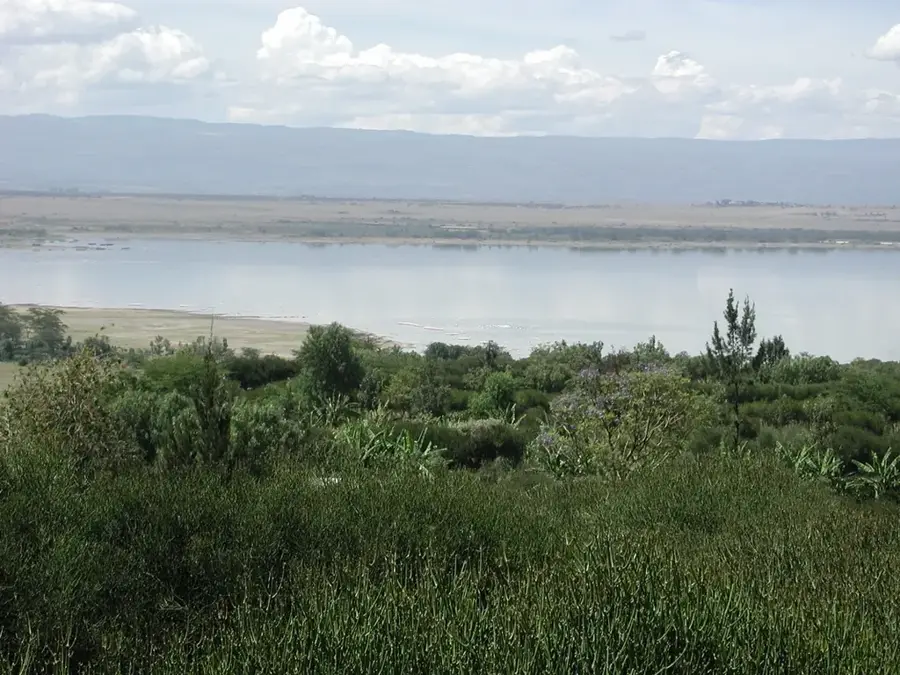
Lake Elementaita
Weather…
Water temperature…
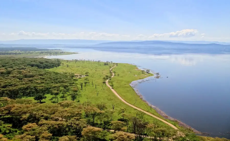
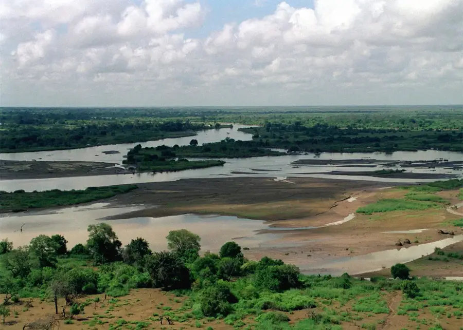
Lake Elementaita is a small alkaline soda lake in the Kenyan Rift Valley, situated between Lake Naivasha and Lake Nakuru. It sits at an elevation of about 1,670 meters and is bordered by the steep hills of the Elmenteita Escarpment and the dormant Ol Donyo Eburru volcano. The lake is an internationally recognized Ramsar site and was designated a UNESCO World Heritage site in 2011 as part of the Kenya Lake System. It is of critical ecological significance as one of the primary breeding sites for Great White Pelicans in East Africa. Additionally, the soda-rich waters support large flocks of flamingos that feed on the abundant algae and diatoms. The surrounding Soysambu Conservancy protects rare wildlife, including Rothschild's giraffes and African wild dogs. Historically, the area was developed by Lord Delamere during the colonial era as a major center for livestock ranching. Today, the lake serves as a tranquil haven for birdwatchers and nature enthusiasts, offering a more secluded experience than its busier neighboring lakes.
- Location: Kenya
- Nearby: Nakuru (19 km)
Best time to visit & climate
The most pleasant time to visit is Jan–Mar.
| Jan | Feb | Mar | Apr | May | Jun | Jul | Aug | Sep | Oct | Nov | Dec | |
|---|---|---|---|---|---|---|---|---|---|---|---|---|
| Avg °C | 16 | 17 | 17 | 16 | 15 | 15 | 14 | 14 | 15 | 16 | 16 | 16 |
| Rain mm | 54 | 39 | 105 | 206 | 149 | 83 | 68 | 89 | 85 | 115 | 146 | 95 |
📋 Practical info
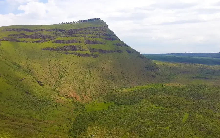
Geography
Facts
- Located in the Great Rift Valley at about 1,670 m
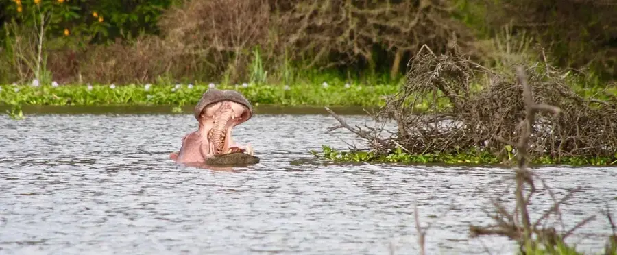
- Premier breeding ground for Great White Pelicans
- Designated a UNESCO World Heritage site in 2011
- Bordered by the 19,000-hectare Soysambu Conservancy
- Habitat for more than 450 distinct species of birds
- Derived from the Maasai word 'Muteita' (dusty place)
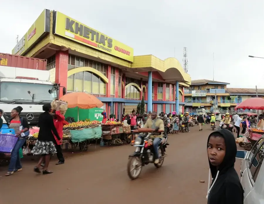
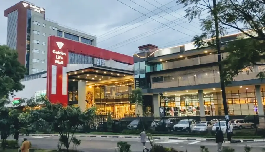
Explore nearby
Notable places around
Route planner — Car & Motorhome
Where do you start? We build the route here, with stops and country notes along the way.
© OpenStreetMap contributors · OpenRouteService
Sights nearby
Frequently asked questions
What makes Lake Elementaita special?
Is swimming allowed in the lake?
Are there hiking trails around the lake?
How do you reach the lake from Nairobi?
What volcanic features are here?
Lake Elementaita: where is it located?
Lake Elementaita: when is the best time to visit?
Lake Elementaita: why is it worth visiting?

Nearby cities
Nature
More places