Plizio Visual Lab
Kerio River
Weather…
Water temperature…
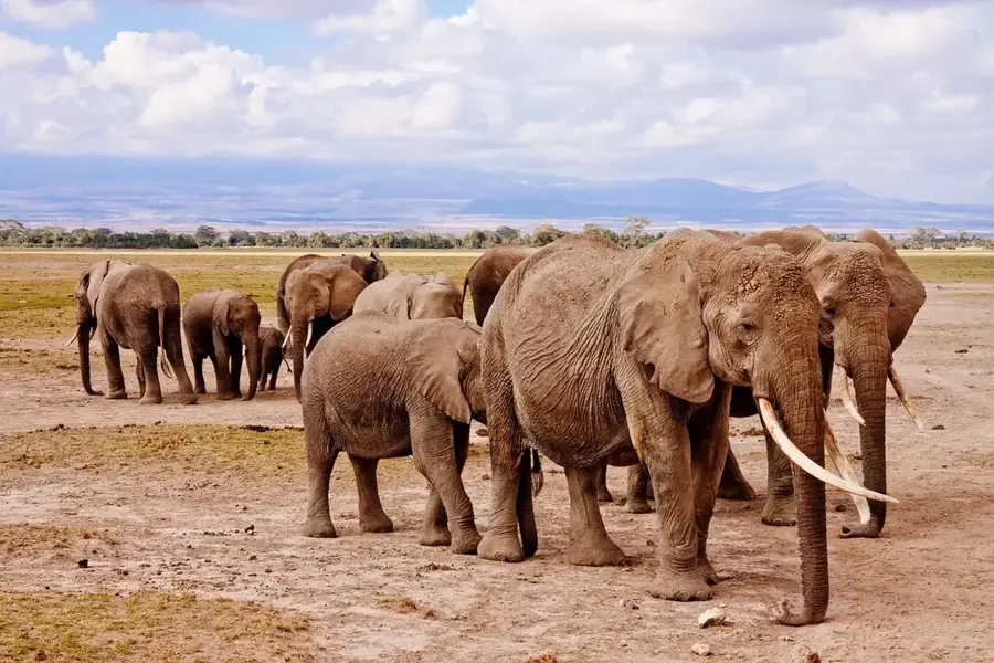
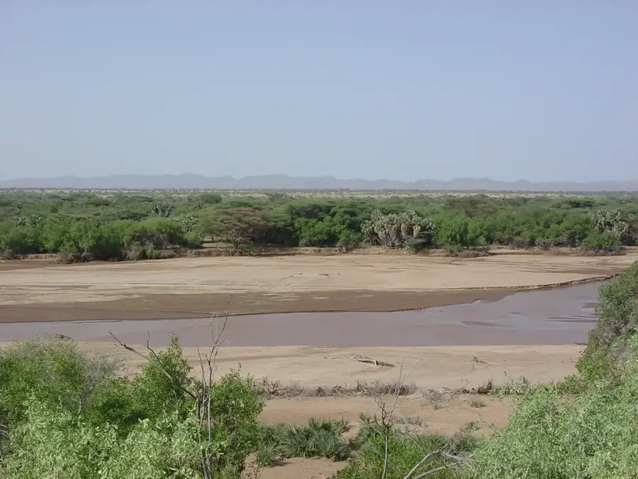
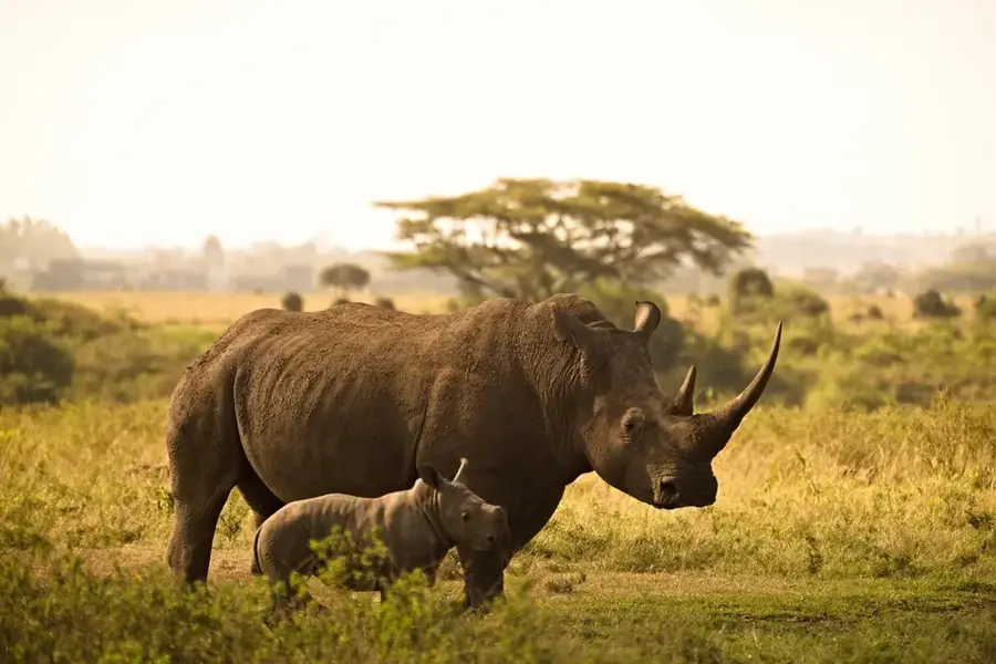
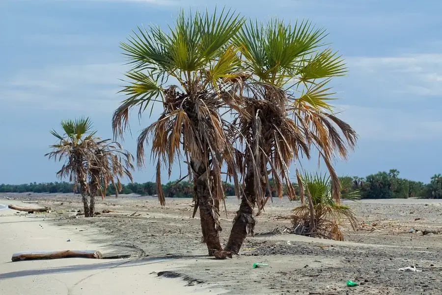
The Kerio River is one of the most significant rivers in the Kenyan Rift Valley, originating in the Amasya Hills south of the Equator. It flows northward through the Kerio Valley, a spectacular geological formation set between the Elgeyo Escarpment and the Tugen Hills. After a journey of approximately 350 kilometers, the river finally empties into Lake Turkana, passing through semi-arid territories that rely heavily on its water. The river's course is defined by dramatic elevation changes, leading to the formation of rapids and small waterfalls. The Kerio Valley is renowned for its rich biodiversity, hosting elephants, crocodiles, and numerous rare bird species. During the dry season, the river shrinks considerably but remains an indispensable lifeline for local farmers and pastoralists. Geologically, the Kerio River follows a tectonic fault line, providing insights into the evolutionary history of the East African Rift. The upper reaches of the river are fertile and are intensively used for growing cereals and fruits.
- Location: Kenya
- Nearby: Kapenguria (80 km)
Best time to visit & climate
The most pleasant time to visit is Jan, Feb, Dec.
| Jan | Feb | Mar | Apr | May | Jun | Jul | Aug | Sep | Oct | Nov | Dec | |
|---|---|---|---|---|---|---|---|---|---|---|---|---|
| Avg °C | 27 | 28 | 29 | 28 | 27 | 27 | 26 | 26 | 28 | 28 | 27 | 26 |
| Rain mm | 15 | 10 | 29 | 64 | 56 | 47 | 59 | 65 | 38 | 38 | 41 | 27 |
📋 Practical info
Geography
Facts
- The Kerio River has a total length of about 350 km.
- It empties into the endorheic Lake Turkana.
- The Kerio Valley is famous for significant fossil discoveries.
- The river acts as a natural boundary between several Kenyan counties.
- Dense gallery forests thrive along the riverbanks.
- The Elgeyo Escarpment rises nearly 1,800 meters above the river bed.
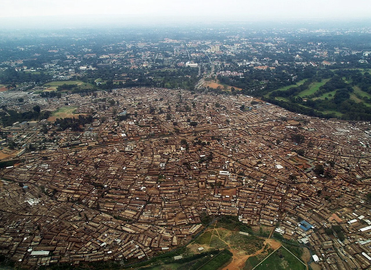
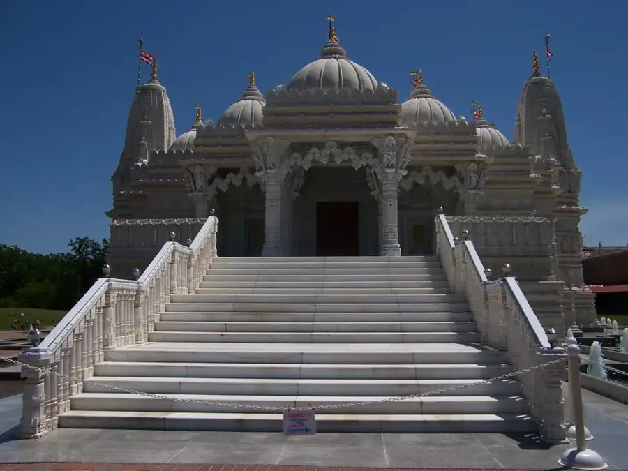
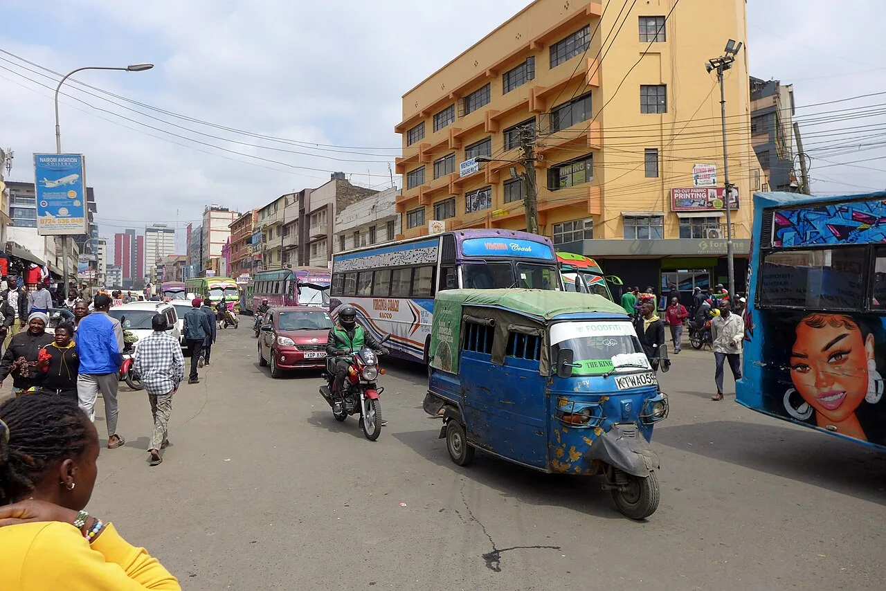
Explore nearby
Notable places around
Route planner — Car & Motorhome
Where do you start? We build the route here, with stops and country notes along the way.
© OpenStreetMap contributors · OpenRouteService
Sights nearby
Frequently asked questions
Where does the Kerio River flow?
What is the Kerio Valley flying site?
What agriculture is found along the Kerio?
Is the river dangerous?
Are there bridges over the Kerio?
Kerio River: where is it located?
Kerio River: when is the best time to visit?
Kerio River: why is it worth visiting?

History & landmarks
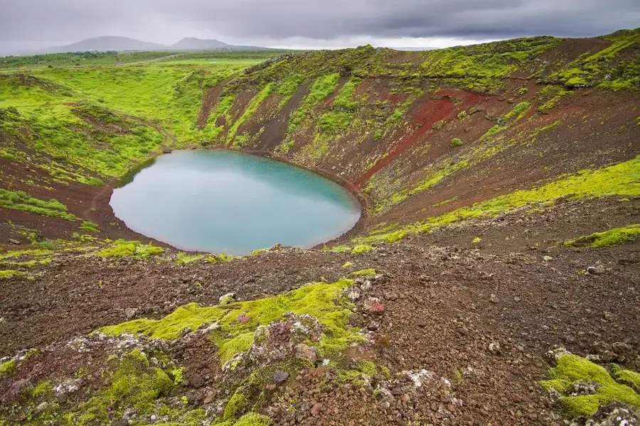
Nature

More places