Plizio Visual Lab
Tissemsilt
ℹ️Practical info — Tissemsilt
▾
🌤 Weather — 5 days
📍 Nearby
Sights nearby
💡 Tips
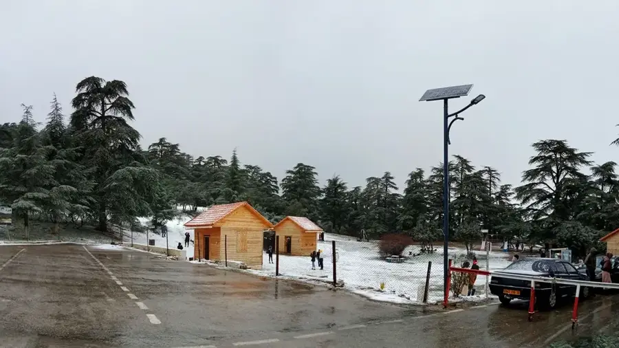
- Tissemsilt is your best base for exploring the spectacular cedar forests of Théniet El Had National Park.
- Renting a car or hiring a local driver for the day is the most efficient way to get around the region.
- Bring warm clothing regardless of the season, as mountain weather in the Ouarsenis range changes rapidly.
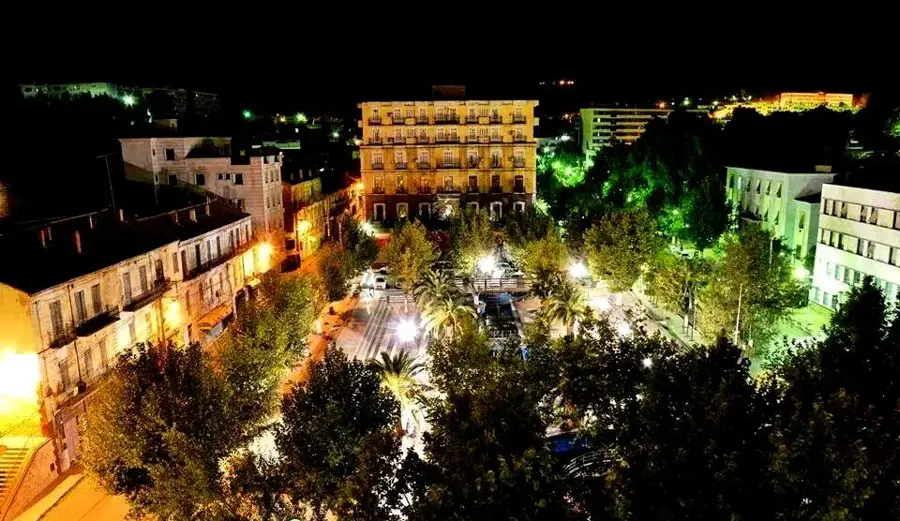
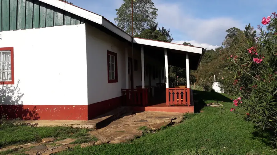
- The city itself is very quiet in the evenings, making it handy for a relaxed stay after hiking.
- Local bakeries open very early in the morning-well-suited for grabbing fresh provisions before a hike.
🍽 Food
Ask locals where to buy pure honey sourced directly from the Ouarsenis mountains.
A traditional hearty rural pasta dish prepared with regional spices, typically served in home-style local restaurants.
In late summer, grab fresh mountain figs straight from the local street vendors.
🛍 Shopping · 🧘 Quiet spots
Find vendors selling medicinal herbs and mountain teas sourced directly from the national park area.
Look for small craft shops near the center that sell traditional Algerian highland textiles and rugs.
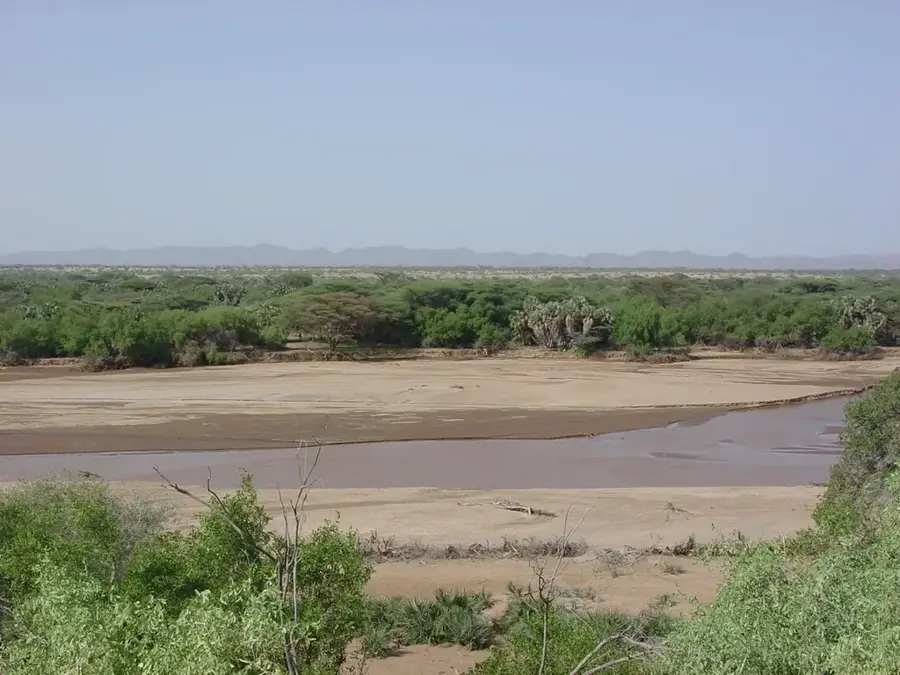
Just a short drive away, wander among massive, ancient cedar trees for total immersion in nature.
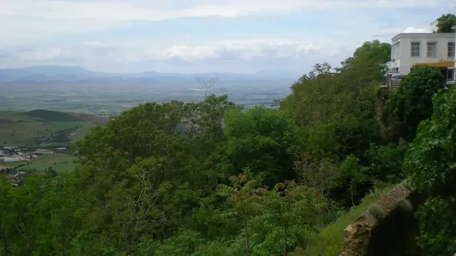
A scenic, quiet mountainous viewpoint and picnic area just outside the main city.
Water temperature…
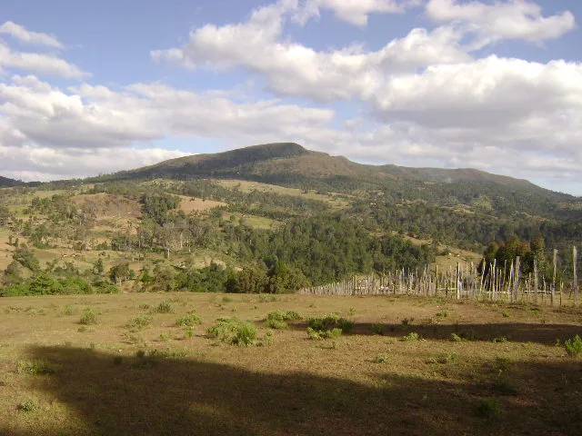
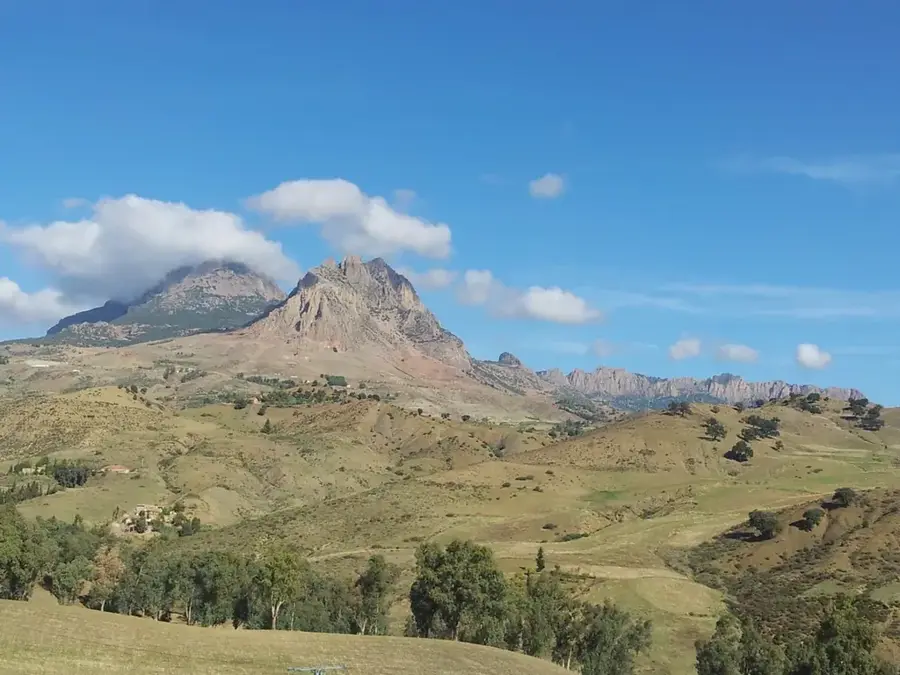
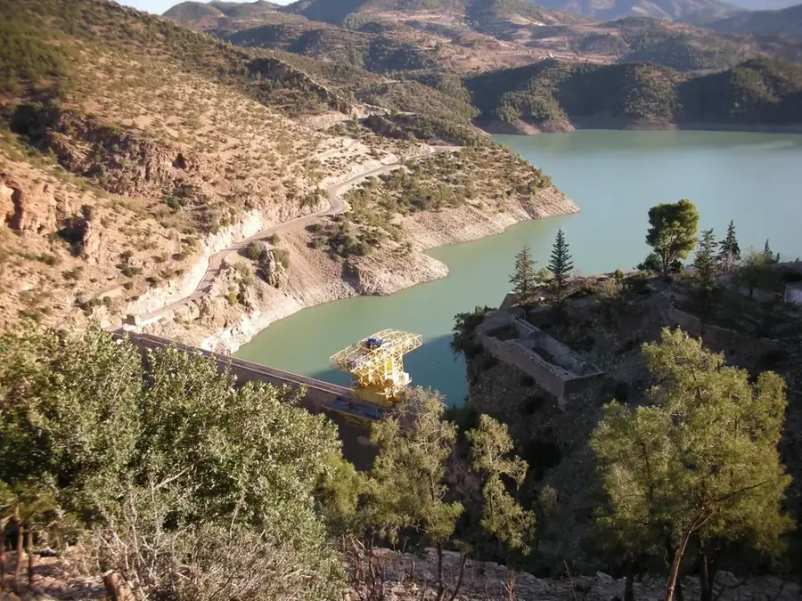
Tissemsilt is a picturesquely situated city in the central highlands of Algeria, located at the foot of the majestic Ouarsenis Mountains. It is primarily renowned for the Théniet El Had National Park, which hosts the country's largest forest of Atlas cedars and constitutes a vital ecosystem. The city, which was known as Vialar during the French colonial period, is today a significant center for agriculture and forestry. The region is characterized by a rugged yet fascinating mountain landscape, convenient for hiking and nature observation. Economically, livestock farming plays a central role alongside cereal production. In recent years, Tissemsilt has undergone urban revitalization through new infrastructure projects, including modern road connections and public facilities. The climate is marked by cold, snowy winters and mild summers, typical for the Algerian high plateaus. The local population proudly maintains its rural traditions and hospitality, making Tissemsilt an authentic destination off the beaten path.
- Location: Algeria
- Top sights: Théâtre de verdure · Maison de culture
- Nearby: Theniet El Had Cedar Forest (35 km)
- Population: ~66.084 (2026)
Best time to visit & climate
The most pleasant time to visit is May, Jun, Sep.
| Jan | Feb | Mar | Apr | May | Jun | Jul | Aug | Sep | Oct | Nov | Dec | |
|---|---|---|---|---|---|---|---|---|---|---|---|---|
| Avg °C | 6 | 7 | 10 | 14 | 18 | 23 | 27 | 27 | 22 | 17 | 11 | 7 |
| Rain mm | 81 | 70 | 70 | 64 | 43 | 17 | 4 | 12 | 32 | 41 | 66 | 69 |
Geography
Facts
- The Théniet El Had National Park was established as early as 1923.
- Tissemsilt is located at an average altitude of 850 meters above sea level.
- The highest peak of the Ouarsenis Mountains, Sidi Amar, reaches 1,985 meters.
- The city received its current name after independence in 1962.
- The region is an important sanctuary for birds of prey.
- The name Tissemsilt means 'sunset' in the Berber language.
Explore nearby
Notable places around
Route planner — Car & Motorhome
Where do you start? We build the route here, with stops and country notes along the way.
© OpenStreetMap contributors · OpenRouteService
Sights in the town Tissemsilt (2)
Frequently asked questions
What is the main attraction of Tissemsilt?
How is the terrain?
When is the best time for hiking?
Is the city touristically developed?
What is the regional symbol?
Tissemsilt: where is it located?
Tissemsilt: what is there to see?
Tissemsilt: when is the best time to visit?
Tissemsilt: why is it worth visiting?

Nearby cities

Nature
More places