Plizio Visual Lab
Kerio Valley
Weather…
Water temperature…
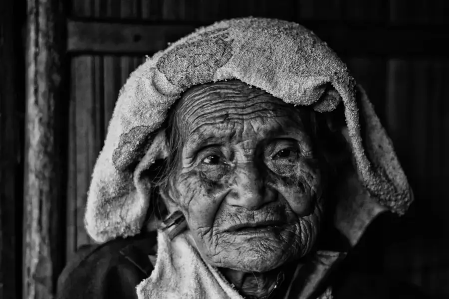
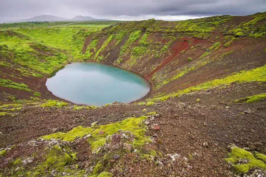
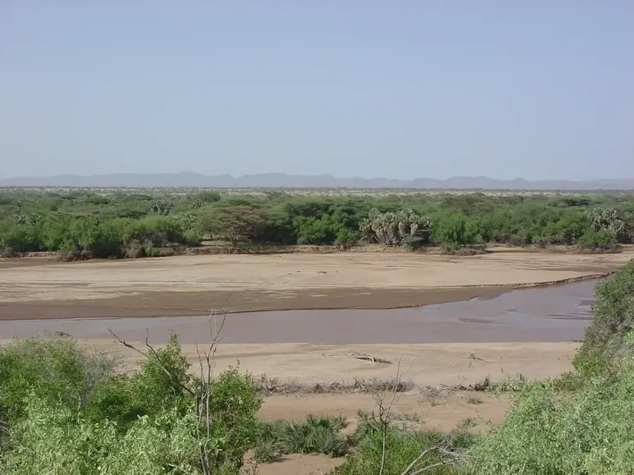
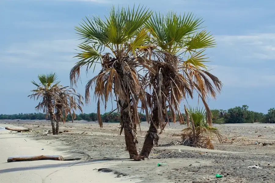
The Kerio Valley is a spectacular branch of the Gregory Rift in Kenya, stretching between the Tugen Hills to the east and the Elgeyo Escarpment to the west. The valley floor lies approximately 1,000 meters lower than the surrounding plateaus and is traversed by the Kerio River, which flows northward toward Lake Turkana. Geologically, the valley is characterized by massive tectonic subsidence and volcanic activity that have created a dramatic landscape of steep cliffs and broad plains. The region is known for its rich flora and fauna as well as significant mining activities, particularly the extraction of fluorspar. Historically, the valley has been inhabited by Kalenjin communities, notably the Keiyo and Marakwet people, who developed sophisticated irrigation systems for agriculture. The climate at the valley floor is significantly hotter and drier than in the adjacent highland regions, supporting specialized vegetation. Today, the Kerio Valley is a hub for tourism, famous for paragliding along the Elgeyo Escarpment and its sweeping viewpoints.
- Location: Kenya
- Nearby: Kapenguria (48 km)
Best time to visit & climate
The most pleasant time to visit is Jan, Feb, Dec.
| Jan | Feb | Mar | Apr | May | Jun | Jul | Aug | Sep | Oct | Nov | Dec | |
|---|---|---|---|---|---|---|---|---|---|---|---|---|
| Avg °C | 21 | 22 | 22 | 21 | 20 | 20 | 19 | 19 | 21 | 21 | 20 | 20 |
| Rain mm | 19 | 18 | 47 | 133 | 108 | 71 | 84 | 100 | 71 | 91 | 74 | 39 |
📋 Practical info
Geography
Facts
- The Kerio Valley extends for a length of approximately 80 kilometers.
- The elevation drop at the Elgeyo Escarpment reaches over 1,200 meters in some places.
- Fluorspar mines in the valley were once among the world's largest sources of the mineral.
- The Marakwet irrigation furrows are over 500 years old and are on the UNESCO tentative list.
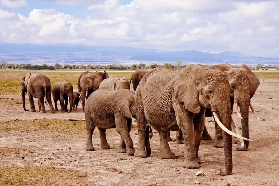
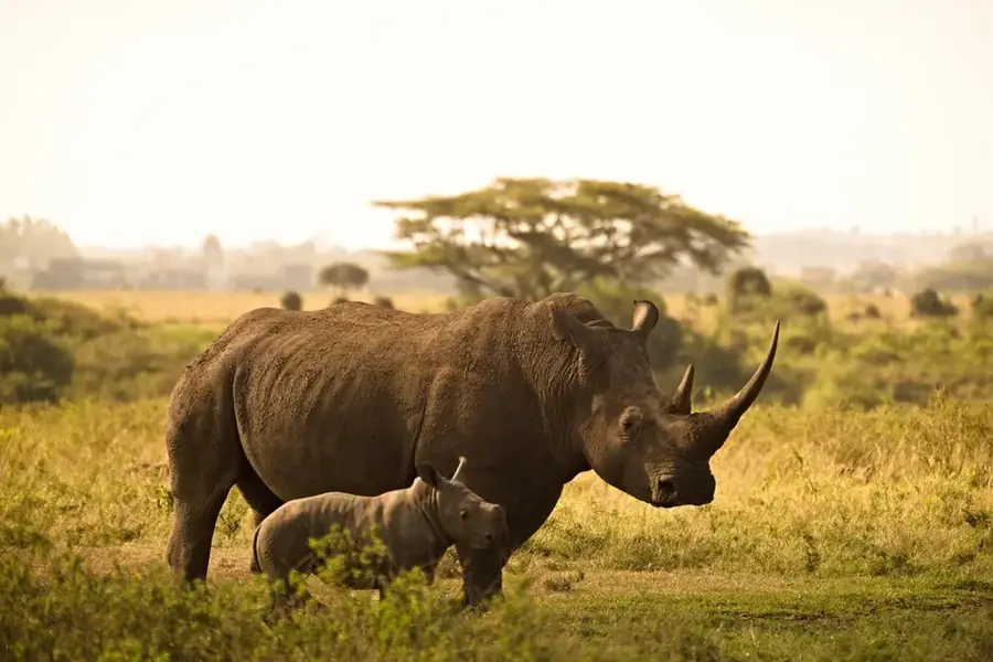
- The valley houses the Rimoi National Reserve, known for its significant elephant herds.
- Average temperatures on the valley floor range between 24 and 30 degrees Celsius.
Explore nearby
Notable places around
Route planner — Car & Motorhome
Where do you start? We build the route here, with stops and country notes along the way.
© OpenStreetMap contributors · OpenRouteService
Sights nearby
Frequently asked questions
Why is the Kerio Valley famous?
What is Chebloch Gorge?
Which town is closest?
Can you see elephants there?
What is the temperature like in the valley?
Kerio Valley: where is it located?
Kerio Valley: when is the best time to visit?
Kerio Valley: why is it worth visiting?

History & landmarks

Nature

More places