Plizio Visual Lab
Kitale
ℹ️Practical info — Kitale
▾
🌤 Weather — 5 days
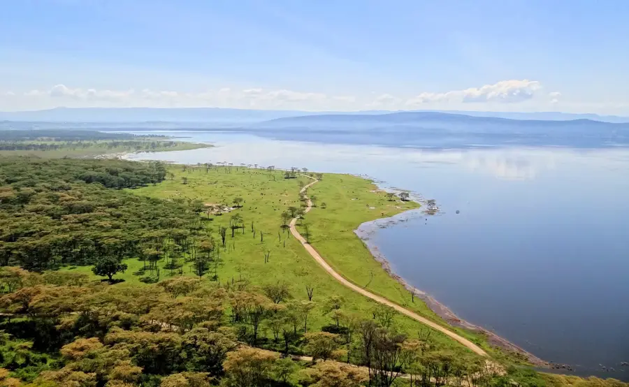
📍 Nearby
Sights nearby
💡 Tips
- Start early when visiting the Kitale Museum or nearby nature reserves to avoid the afternoon heat.
- Use 'matatus' (minibuses) to get around, but always agree on the fare before boarding.
- The local markets are excellent for fresh agricultural produce, often straight from the surrounding farms.
- If traveling during the rainy season, expect muddy roads and pack sturdy footwear.
- It's a great base for organizing trips to Mount Elgon National Park and the Saiwa Swamp.
🍽 Food
The staple Kenyan meal of maize flour porridge and collard greens. Available at almost any local diner.
Roasted goat or beef, first-rate for a hearty evening meal at local open-air barbecue joints.
Buy fresh mangoes, bananas, and avocados straight from the farmers at the street markets.
🛍 Shopping · 🧘 Quiet spots
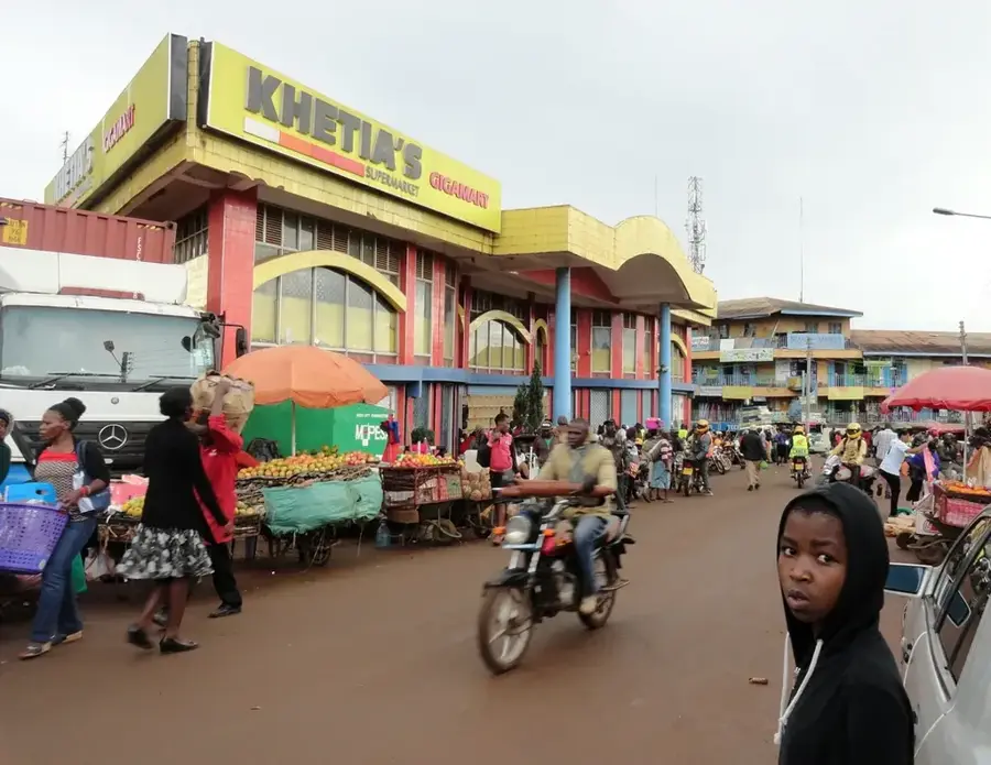
The main spot to buy fresh produce, local grains, and everyday items.
Look for small stalls around the city center selling woven baskets and handmade wooden items.
A peaceful park on the outskirts of town focusing on conservation of local flora and fauna.
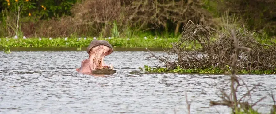
Located a short drive away, it gives quiet walking trails and a chance to spot the rare Sitatunga antelope.
Water temperature…
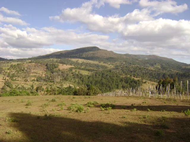
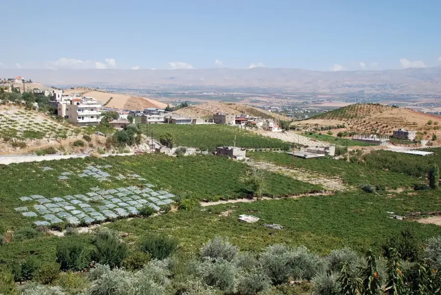
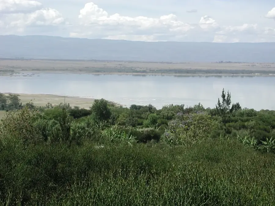
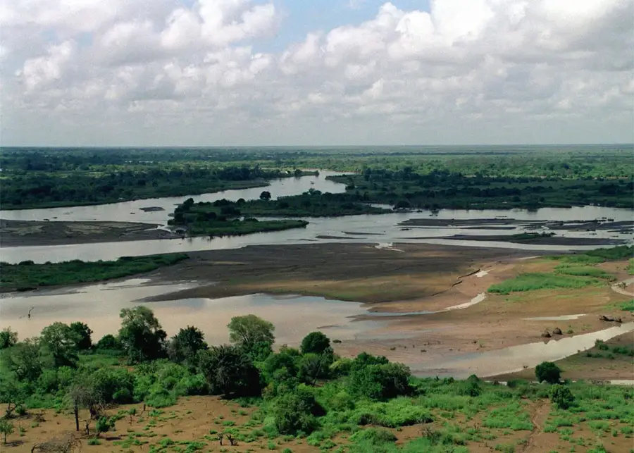
Kitale is the administrative headquarters of Trans-Nzoia County in western Kenya and is widely recognized as the country's agricultural capital. The town is situated on a fertile plateau between Mount Elgon and the Cherangany Hills at an elevation of approximately 1,900 meters. Founded in 1908 by European settlers, Kitale grew rapidly as farmers realized the immense potential of the rich volcanic soils for cultivating maize and sunflowers. Today, the surrounding region remains Kenya's most vital maize-producing zone, playing a critical role in the nation's food security. Beyond its economic activities, Kitale is a significant center for conservation and regional history. The Museum of Western Kenya, located in the town, features extensive ethnographic collections regarding local tribes and regional biodiversity. Nearby is the Saiwa Swamp National Park, the smallest national park in Kenya, established specifically to protect the rare Sitatunga antelope. Kitale serves as a major commercial hub for the surrounding agricultural community and is a gateway to the Mount Elgon National Park.
- Location: Kenya
- Nearby: Kapenguria (23 km)
- Population: ~162.174 (2022)
Best time to visit & climate
The most pleasant time to visit is Jan–Mar.
| Jan | Feb | Mar | Apr | May | Jun | Jul | Aug | Sep | Oct | Nov | Dec | |
|---|---|---|---|---|---|---|---|---|---|---|---|---|
| Avg °C | 17 | 18 | 19 | 18 | 17 | 17 | 16 | 16 | 17 | 17 | 17 | 16 |
| Rain mm | 43 | 45 | 109 | 245 | 234 | 163 | 165 | 216 | 187 | 202 | 155 | 84 |
Geography
Facts
- Kitale was founded by European settlers in 1908.
- The town sits at an elevation of about 1,900 meters.
- The region is known as the 'breadbasket' of Kenya.
- The Museum of Western Kenya was established in 1924.
- Saiwa Swamp National Park is the smallest in Kenya.
- Kitale is the primary hub for maize production in the country.
Explore nearby
Notable places around
Route planner — Car & Motorhome
Where do you start? We build the route here, with stops and country notes along the way.
© OpenStreetMap contributors · OpenRouteService
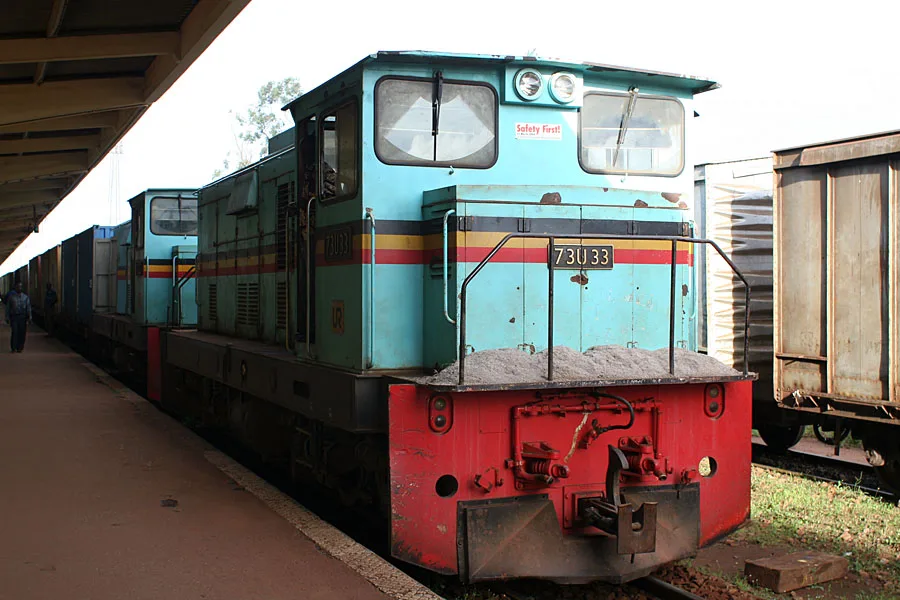
Sights in the town Kitale (1)
Frequently asked questions
Where is Kitale located?
What is the most famous natural attraction nearby?
What crops are grown here?
What can you visit in the city?
What is the atmosphere like in Kitale?
Kitale: where is it located?
Kitale: when is the best time to visit?
Kitale: why is it worth visiting?

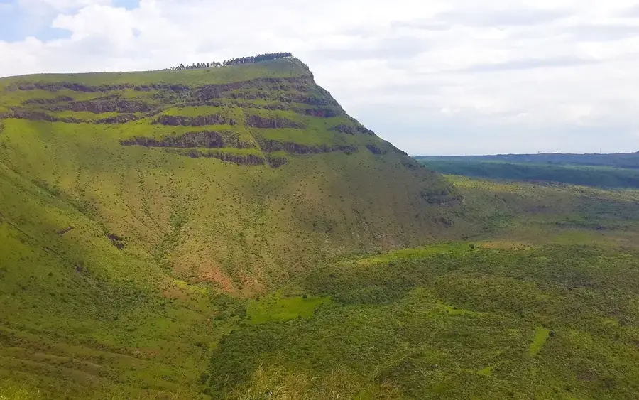
Nature
More places