Plizio Visual Lab
Voi
ℹ️Practical info — Voi
▾
🌤 Weather — 5 days
📍 Nearby
Sights nearby
💡 Tips
- Great base for visiting Tsavo East; book safaris from local operators in town.
- Be cautious of wildlife like baboons near the outskirts of town.
- Take the SGR train (Madaraka Express) to avoid highway traffic; Voi has a station.
- Carry binoculars if staying on the edge of town, as elephants often visit nearby waterholes.
🍽 Food
Coast-influenced rice dishes like Pilau or Biryani found in town restaurants.
First-rate quick snack at bus stops or cafes.
Available at roadside butcheries and local eateries.
🛍 Shopping · 🧘 Quiet spots
Bags and mats made from locally grown sisal at craft markets.
Bananas and mangoes sold by vendors along the highway.
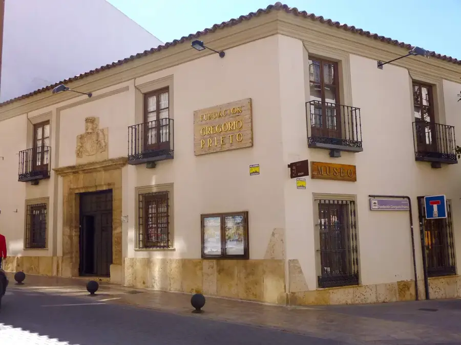
A well-kept, solemn historical site.
Convenient vantage points overlooking Tsavo for a quiet evening drink.
Water temperature…
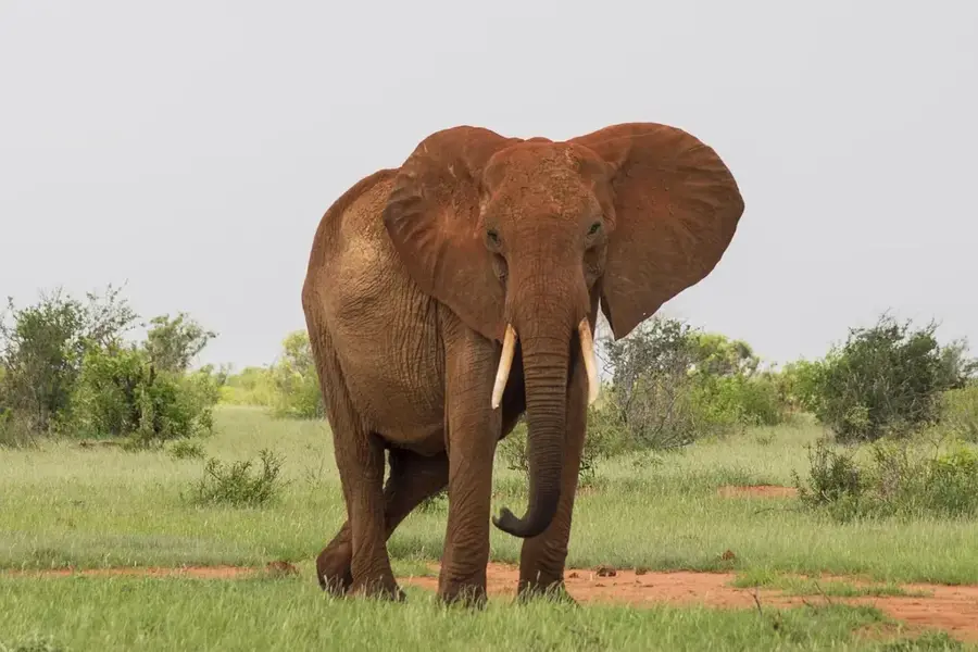
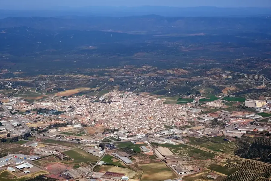
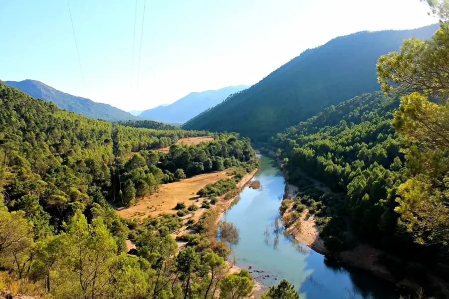
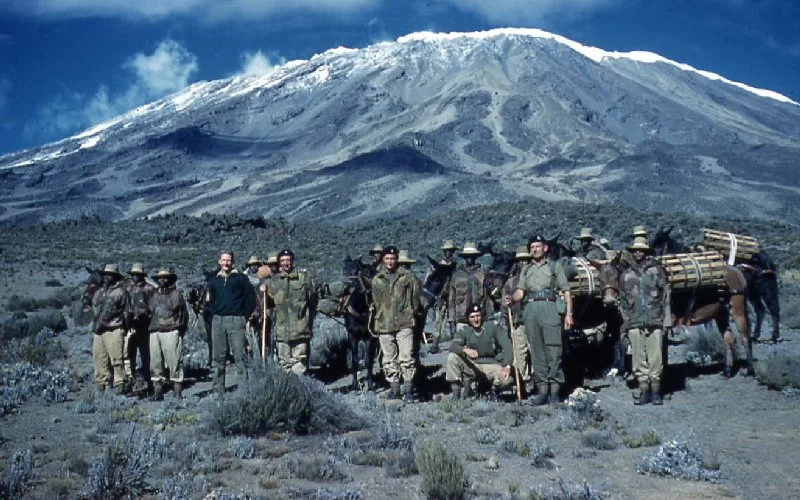
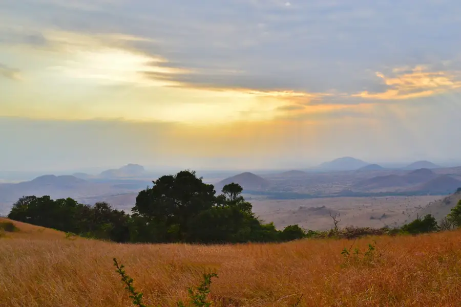
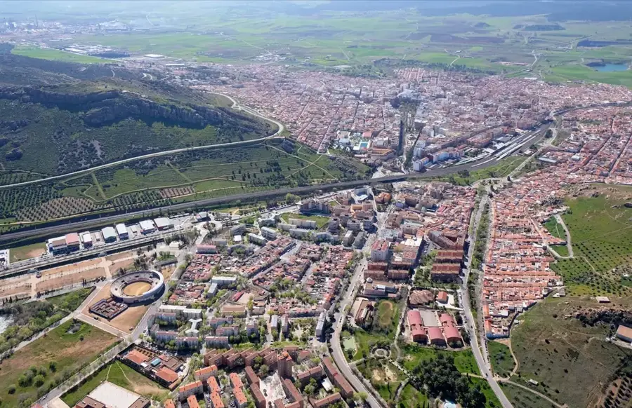
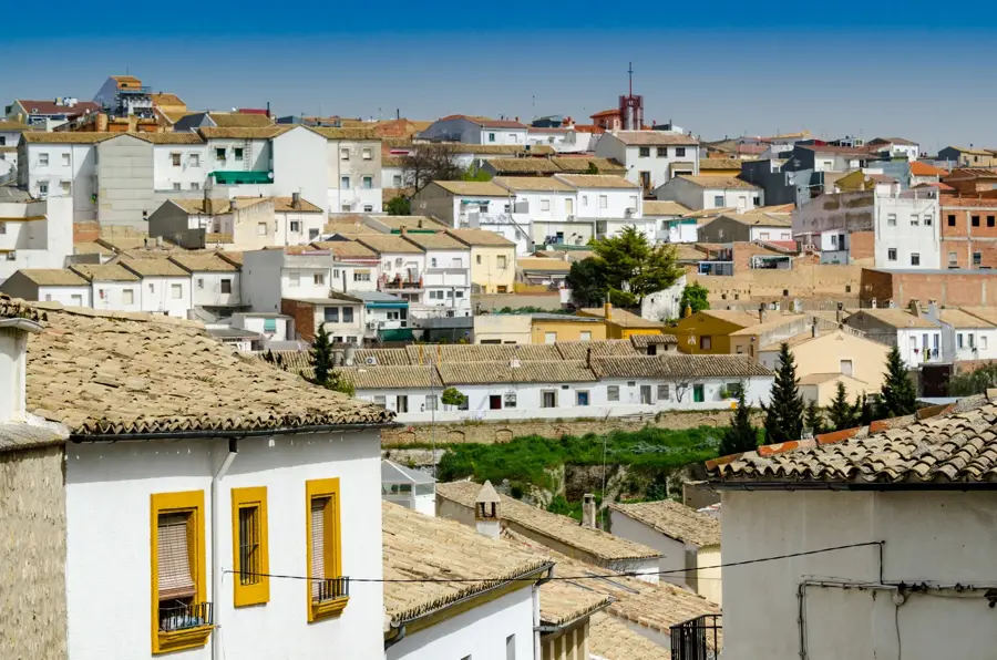
Voi is a major town in Taita-Taveta County in southern Kenya, strategically located at the junction of the Nairobi-Mombasa highway and the railway line. The town serves as a key logistical hub and the primary gateway to Tsavo East National Park, one of the country's largest and oldest wildlife reserves. Geographically, Voi is surrounded by the pretty Taita Hills, which offer a cooler microclimate compared to the surrounding arid plains. The town's economy is based on tourism, the trade of agricultural products from the hills, and its role as a vital transport junction. Historically, Voi was a central base during the construction of the Uganda Railway at the end of the 19th century and played a strategic role during World War I in East Africa. The town has developed rapidly in recent years, boosted by the construction of the new Standard Gauge Railway (SGR) and improved accessibility. Today, Voi is not just a transit point for travelers between the coast and the highlands, but also a growing center for education and regional administration.
- Location: Kenya
- Nearby: Kilaguni (70 km)
- Population: ~53.353 (2023)
Best time to visit & climate
The most pleasant time to visit is Jun–Aug.
| Jan | Feb | Mar | Apr | May | Jun | Jul | Aug | Sep | Oct | Nov | Dec | |
|---|---|---|---|---|---|---|---|---|---|---|---|---|
| Avg °C | 26 | 27 | 26 | 25 | 24 | 23 | 22 | 22 | 24 | 25 | 25 | 25 |
| Rain mm | 41 | 28 | 74 | 104 | 103 | 32 | 23 | 20 | 27 | 85 | 123 | 99 |
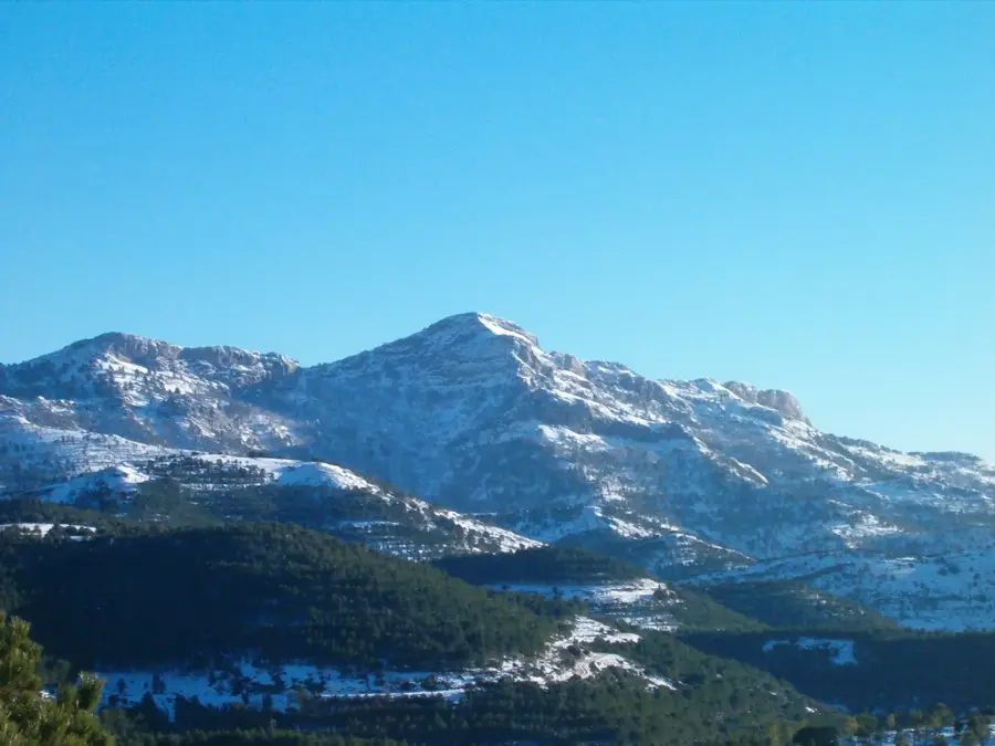
Geography
Facts
- Voi is situated approximately 160 kilometers inland from Mombasa.
- Tsavo East National Park was officially established in 1948.
- The highest peak in the nearby Taita Hills reaches 2,208 meters.
- The Voi railway station was originally built in 1897 during construction.
- The annual average rainfall in Voi is approximately 600 mm.
- The modern SGR railway station in Voi was opened to the public in 2017.
Explore nearby
Notable places around
Route planner — Car & Motorhome
Where do you start? We build the route here, with stops and country notes along the way.
© OpenStreetMap contributors · OpenRouteService
Sights in the town Voi (1)
Frequently asked questions
Why is Voi important for safaris?
Does the SGR train stop in Voi?
How is the climate in Voi?
Are there hotels for tourists in Voi?
What can you do in Voi besides safaris?
Voi: where is it located?
Voi: when is the best time to visit?
Voi: why is it worth visiting?

Nearby cities


History & landmarks

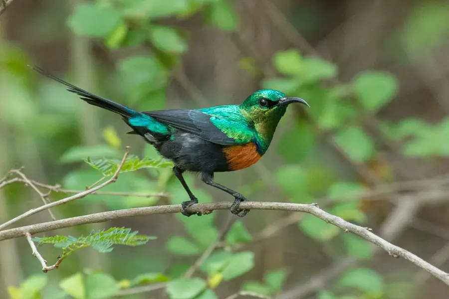
Nature
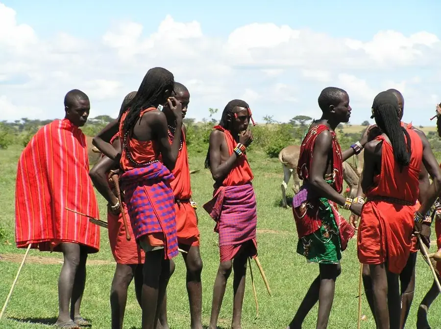
More places