Plizio Visual Lab
Sierra de Alcaraz
Weather…
Water temperature…
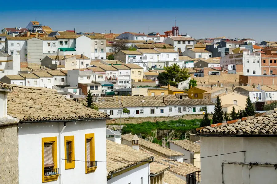
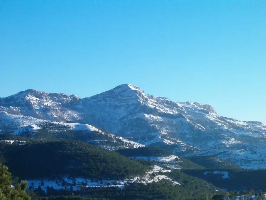
The Sierra de Alcaraz is located in the southwest of Albacete province and forms part of the Prebaetic System. These limestone mountains are defined by a rugged topography featuring deep gorges, waterfalls, and rich botanical diversity. Its highest peak, Pico Almenara, reaches an altitude of 1,796 meters, offering expansive views over the La Mancha plain. Geologically, the region is famous for its karst features, particularly the source of the Mundo River, where water spectacularly gushes from a massive cave and plunges down a cliff (Los Chorros). The climate is wetter and cooler than the surrounding areas due to the mountain influence, fostering extensive forests of maritime pine and holm oak. Historically, the town of Alcaraz was a vital link between Castile and Andalusia, and it still preserves a significant Renaissance architectural heritage. Today, the Sierra is a favored destination for rural tourism and outdoor recreation.
- Location: Galicia, Spain
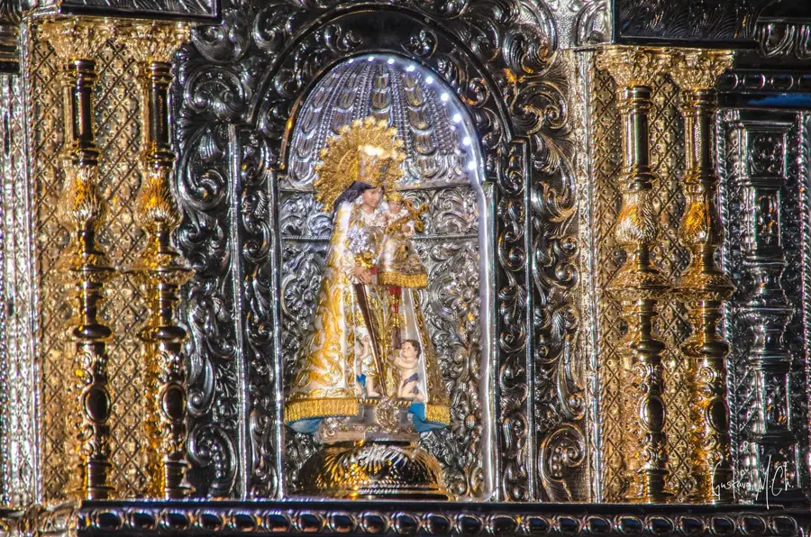
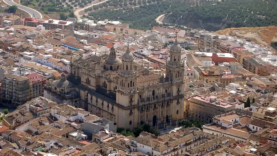
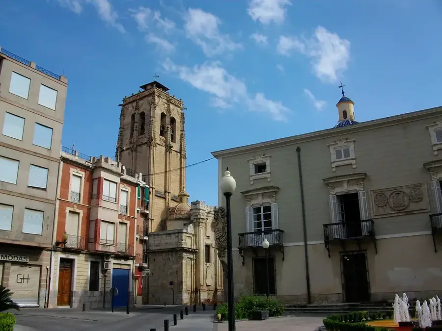
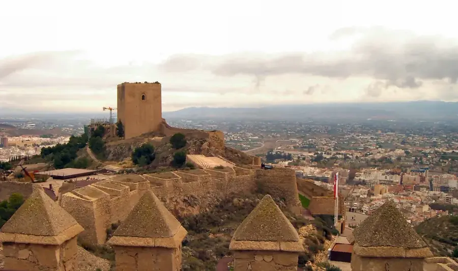
- Top sights: Castillo de Alcaraz · Necrópolis · Antiguo Convento del Santísimo Espíritu
- Nearby: Lagunas de Ruidera (49 km)
Best time to visit & climate
The most pleasant time to visit is Jun, Aug, Sep.
| Jan | Feb | Mar | Apr | May | Jun | Jul | Aug | Sep | Oct | Nov | Dec | |
|---|---|---|---|---|---|---|---|---|---|---|---|---|
| Avg °C | 4 | 5 | 8 | 11 | 16 | 22 | 25 | 25 | 20 | 14 | 8 | 5 |
| Rain mm | 28 | 26 | 45 | 42 | 31 | 20 | 5 | 12 | 31 | 40 | 40 | 32 |
📋 Practical info
Geography
Facts
- Pico Almenara is the highest elevation in the range at 1,796 meters.
- The 'Los Chorros' waterfall features a vertical drop of about 100 meters.
- The Sierra de Alcaraz is home to more than 2,000 different plant species.
- The region hosts the rare endemic plant species 'Coincya rupestris'.
- The mountain range is part of the Segura River drainage basin.
- The town of Alcaraz was reconquered by Christian forces in the year 1213.
Explore nearby
Notable places around
Route planner — Car & Motorhome
Where do you start? We build the route here, with stops and country notes along the way.
© OpenStreetMap contributors · OpenRouteService
Sights in the town Sierra de Alcaraz (6)
Sights nearby
Frequently asked questions
What is 'Nacimiento del Río Mundo'?
Where is Sierra de Alcaraz located?
What is the 'El Reventón' phenomenon?
Is the town of Alcaraz worth a visit?
What is the difficulty of the hiking trails?
Sierra de Alcaraz: where is it located?
Sierra de Alcaraz: what is there to see?
Sierra de Alcaraz: when is the best time to visit?
Sierra de Alcaraz: why is it worth visiting?

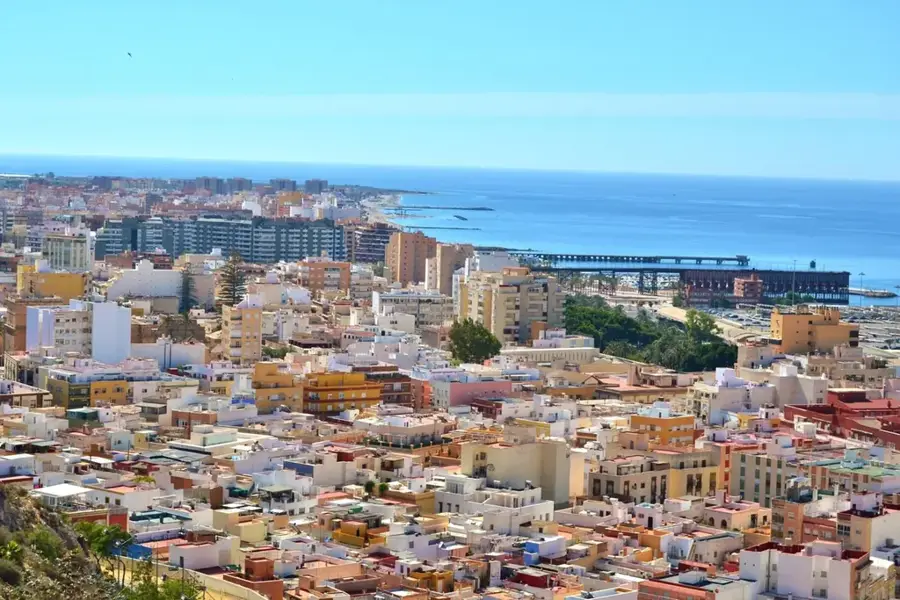
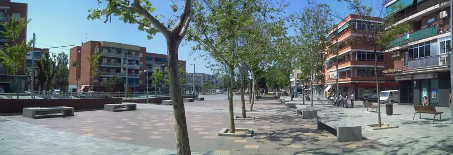
Nearby cities
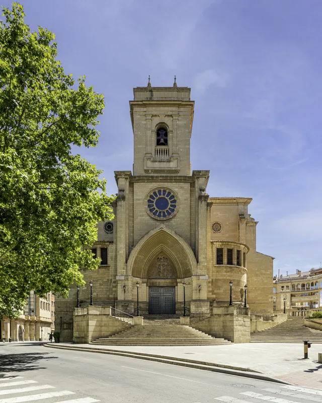
History & landmarks