Plizio Visual Lab
Tsavo Region – Cultivation Areas
Weather…
Water temperature…
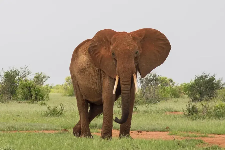
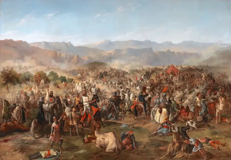
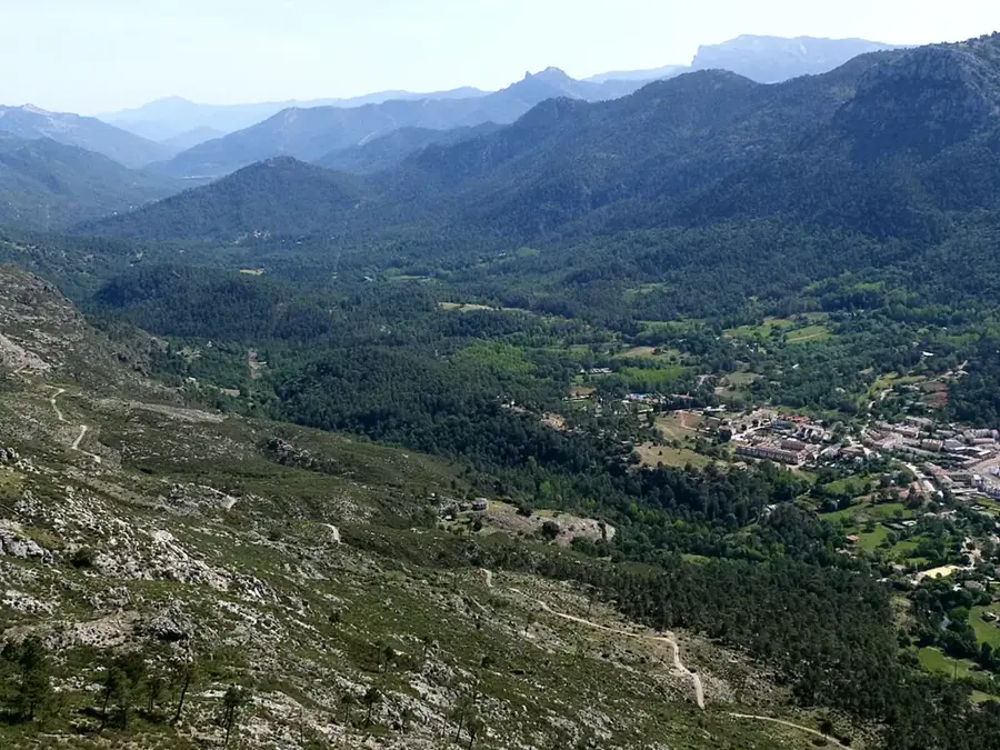
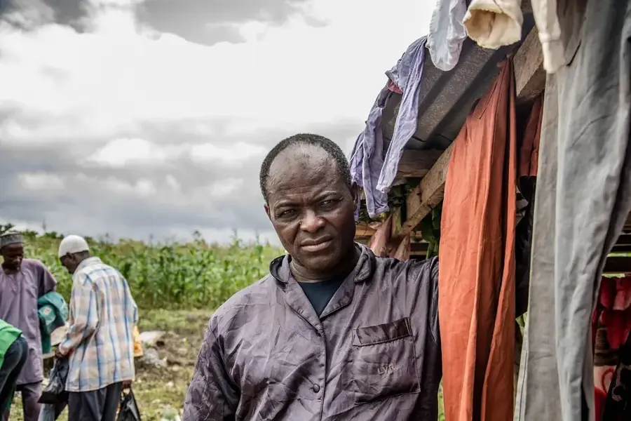
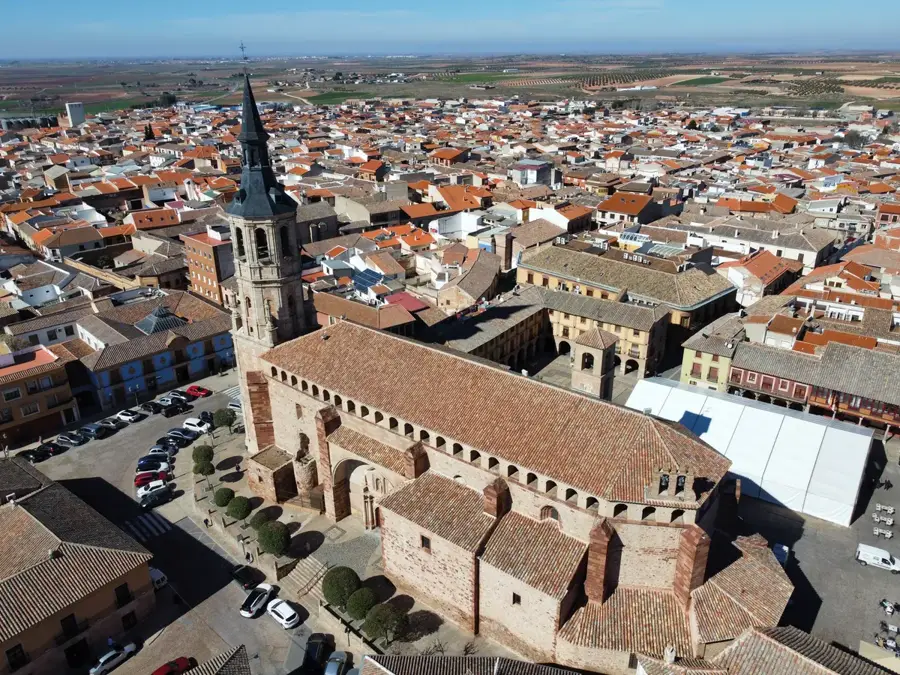
The Tsavo region in southeastern Kenya is globally recognized for its massive national parks, but it also encompasses significant agricultural lands that function as a buffer zone for wildlife. A defining feature of this landscape is the extensive sisal plantations, notably the Teita Estate near Voi, which is among the largest in the world. These plantations were established during the colonial era to capitalize on the region's semi-arid conditions, as sisal agaves are remarkably drought-resistant. Agriculture in Tsavo faces the persistent challenge of human-wildlife conflict, with elephants and other large mammals frequently traversing cultivated fields. Modern conservation models now strive to integrate biodiversity protection with the economic needs of local communities. In addition to sisal, irrigated pockets support fruit and vegetable farming for regional markets, utilizing water sources from the nearby Taita Hills. The strategic location between Nairobi and Mombasa makes the region a vital logistical hub for the country's agricultural exports, facilitating the movement of processed fibers and produce.
- Location: Kenya
- Nearby: Voi (35 km)
Best time to visit & climate
The most pleasant time to visit is Jun–Aug.
| Jan | Feb | Mar | Apr | May | Jun | Jul | Aug | Sep | Oct | Nov | Dec | |
|---|---|---|---|---|---|---|---|---|---|---|---|---|
| Avg °C | 27 | 28 | 28 | 26 | 25 | 24 | 24 | 24 | 25 | 26 | 26 | 26 |
| Rain mm | 41 | 24 | 68 | 88 | 78 | 21 | 13 | 13 | 18 | 74 | 128 | 103 |
📋 Practical info
Geography
Facts
- The Teita Estate covers approximately 30,000 acres of land in the Tsavo region.
- Sisal agaves have been cultivated here on a large scale since the 1950s.
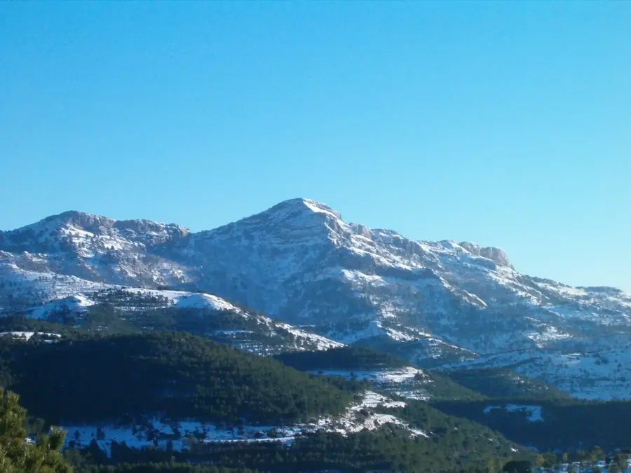
- The agricultural areas sit at an average elevation of about 1,500 meters.
- Tsavo sisal is exported to over 50 countries for use in textiles and ropes.
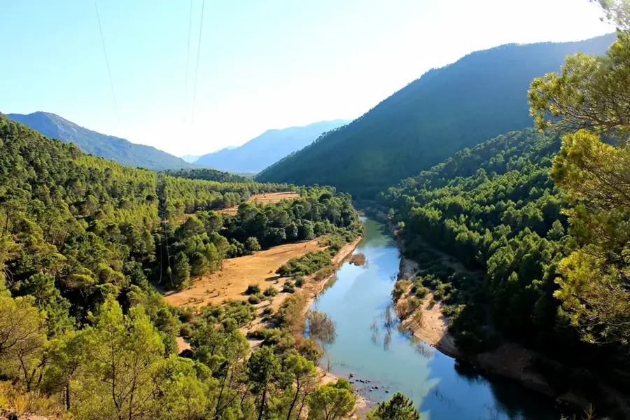
- The Taita Hills provide essential irrigation water for local horticultural plots.
- More than 3,000 local residents are directly employed in sisal processing in Voi.
Explore nearby
Notable places around
Route planner — Car & Motorhome
Where do you start? We build the route here, with stops and country notes along the way.
© OpenStreetMap contributors · OpenRouteService
Sights nearby
Frequently asked questions
What is grown in the Tsavo region?
Can you visit the farms?
What is sisal?
Why is agriculture difficult here?
What role does irrigation play?
Tsavo Region – Cultivation Areas: where is it located?
Tsavo Region – Cultivation Areas: when is the best time to visit?
Tsavo Region – Cultivation Areas: why is it worth visiting?

Nearby cities
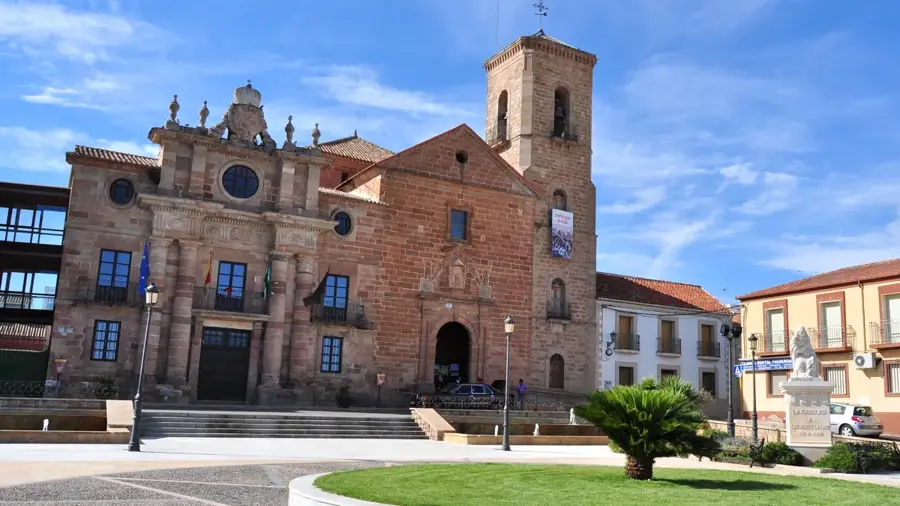
History & landmarks

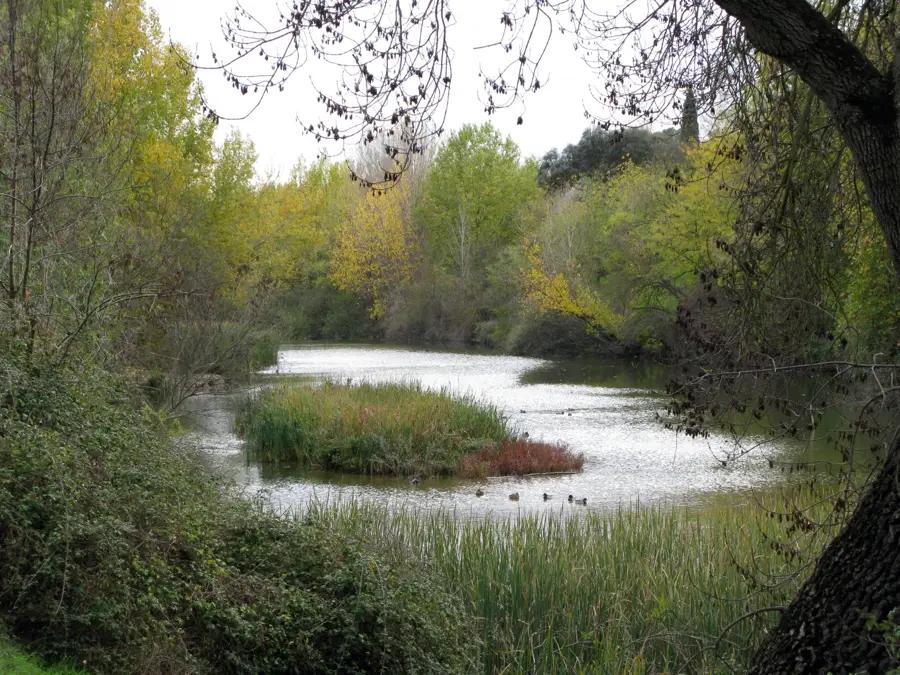
Nature
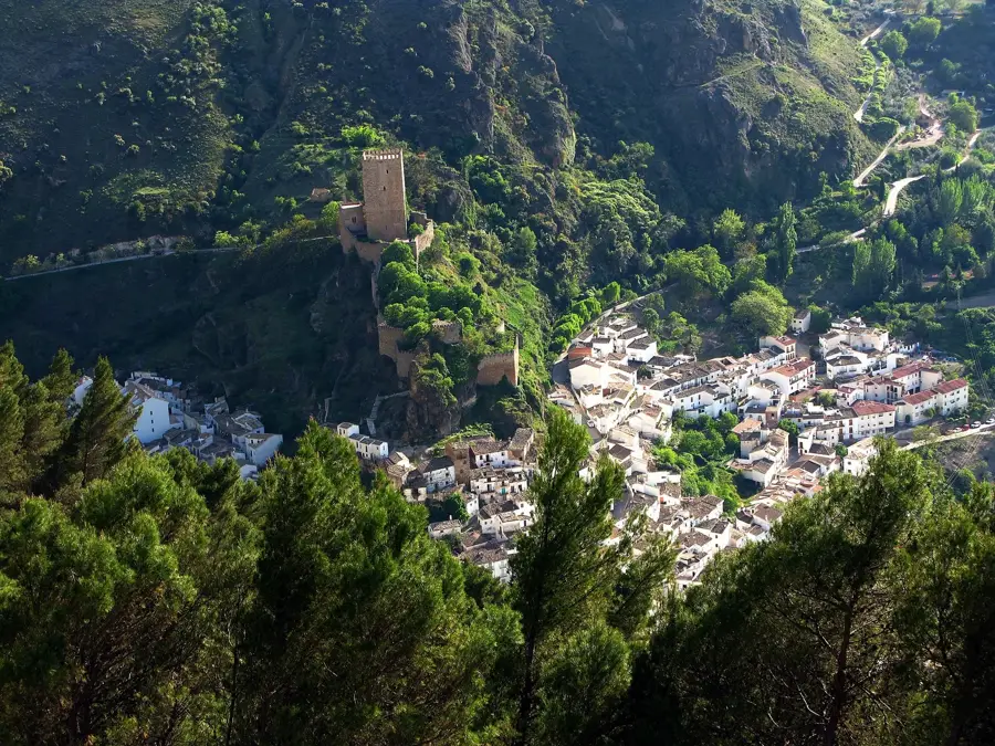
More places