Plizio Visual Lab
Zard-Kuh
Weather…
Water temperature…
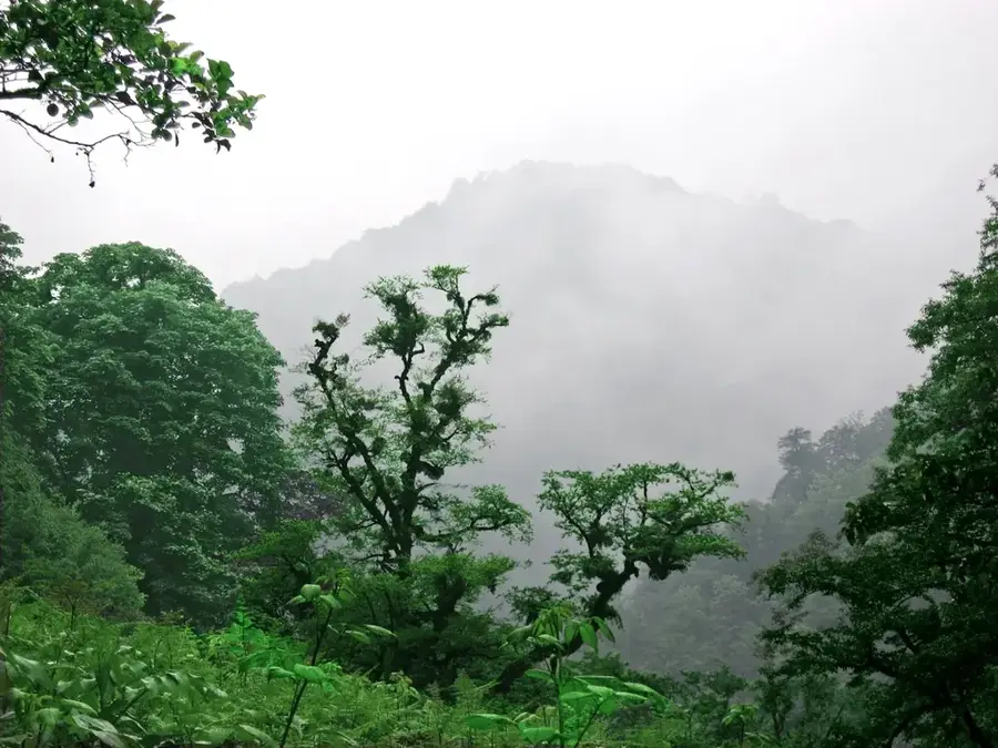
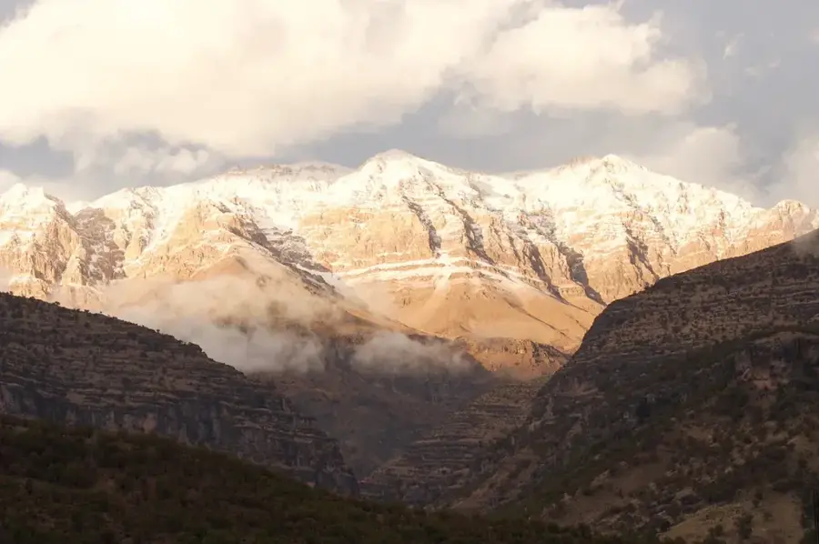
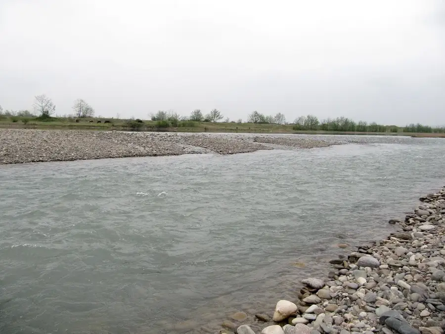
Zard-Kuh, whose name translates to Yellow Mountain in Persian, is an imposing peak in the central section of the massive Zagros mountain range, representing one of the most vital hydrological lifelines of Iran. The name of the massif is derived from its massive yellowish limestone rocks, which acquire a spectacularly radiant hue under the setting sunlight. The deep valleys and extremely steep slopes capture massive quantities of winter precipitation, feeding huge firn fields and permanent glaciers. These high-altitude natural reservoirs of ice and water serve as the primary source for the Karun, Iran's most voluminous river, as well as the Zayandeh Rud, which flows through the historic city of Isfahan. Additionally, the territory serves as an essential summer pasture for the nomads of the Bakhtiari tribes, who guide their herds through the treacherous mountain passes each year.
Best time to visit & climate
The most pleasant time to visit is Jun, Aug, Sep.
| Jan | Feb | Mar | Apr | May | Jun | Jul | Aug | Sep | Oct | Nov | Dec | |
|---|---|---|---|---|---|---|---|---|---|---|---|---|
| Avg °C | -2 | 0 | 4 | 8 | 14 | 21 | 24 | 23 | 19 | 13 | 5 | 0 |
| Rain mm | 39 | 32 | 43 | 47 | 15 | 4 | 3 | 1 | 1 | 14 | 42 | 47 |
📋 Practical info
Geography
Facts
- With an altitude of 4,221 meters, Zard-Kuh is the second highest peak in the entire Zagros mountain range.
- The region shelters the largest surviving population of wild goats in the central Zagros mountains.
- Meltwater from the mountain feeds the Kuhrang Tunnel, a major water engineering project completed in 1953.
- The surrounding mountain ranges consist predominantly of thick marine limestone layers dating from the Cretaceous period.
- The massif houses the Ill Glacier, one of the very few rare subtropical glaciers existing in the Middle East.
- Annual precipitation at higher elevations can exceptionally exceed the remarkable mark of 1,500 millimeters.
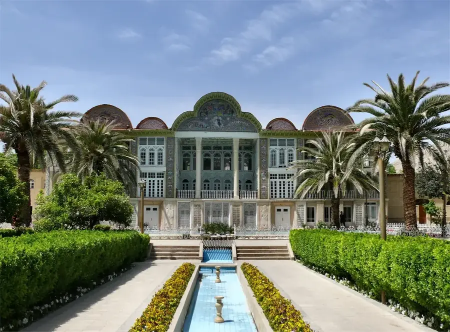
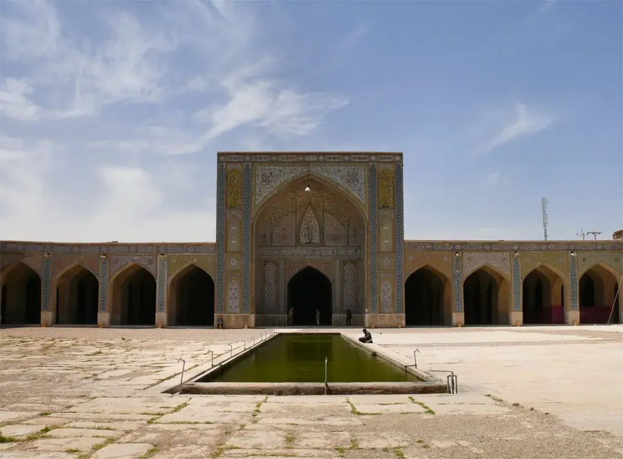
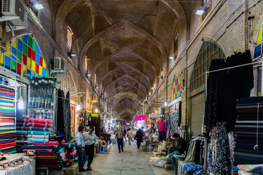
Explore nearby
Notable places around
Route planner — Car & Motorhome
Where do you start? We build the route here, with stops and country notes along the way.
© OpenStreetMap contributors · OpenRouteService
Sights in the town Zard-Kuh (1)
Sights nearby
Frequently asked questions
Is Zard-Kuh snow-covered all year?
What makes the massif special?
Is the area hiker-friendly?
Is there infrastructure there?
How to get there?
Zard-Kuh: where is it located?
Zard-Kuh: when is the best time to visit?
Zard-Kuh: why is it worth visiting?

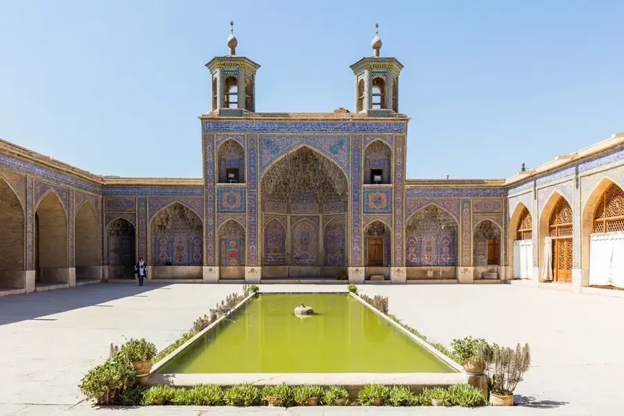
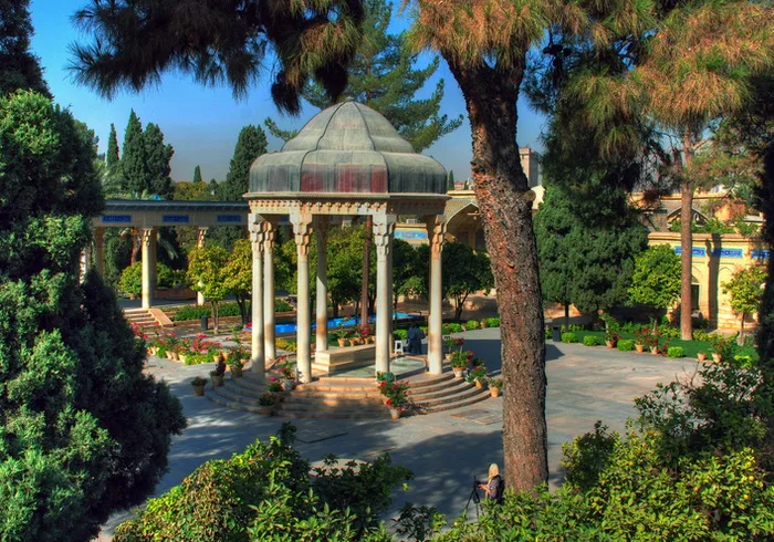
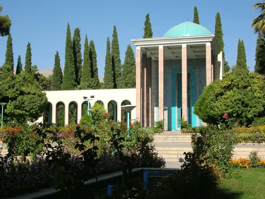
History & landmarks
Nature
More places