Plizio Visual Lab
Sefid-Rud
Weather…
Water temperature…
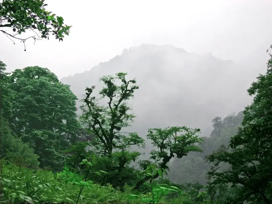
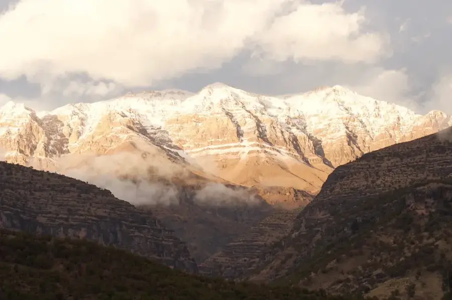
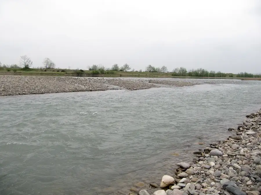
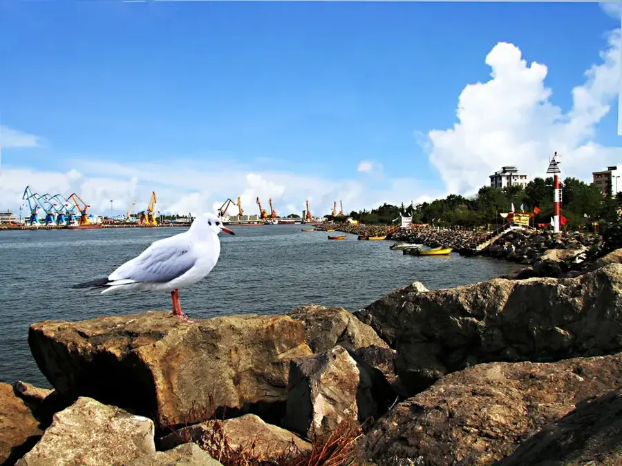
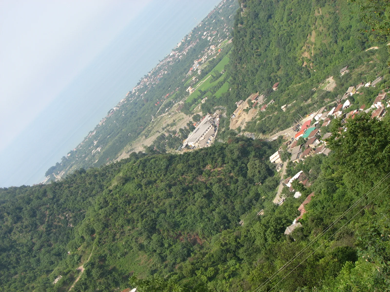
The Sefid-Rud, whose name literally translates to White River, is the longest and most important river of the northern Gilan province of Iran, reaching a total length of 670 kilometers. The river is formed near the city of Manjil by the confluence of the Qizil-Uzan and Shahrud rivers. From here, it cuts with tremendous force through the deep gorges of the Alborz mountains before stepping out onto the coastal plain and emptying into the Caspian Sea. The watercourse owes its reputation to the massive amount of sediment it carries along, which gives its water a characteristic whitish-muddy color. The Manjil Dam, built at the mountain breakthrough, creates a giant reservoir that generates hundreds of megawatts of electricity annually.
- Location: Iran
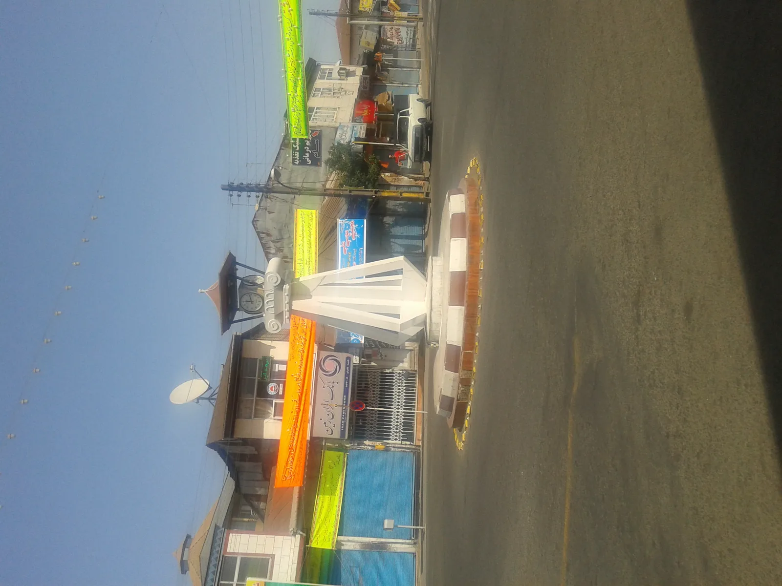
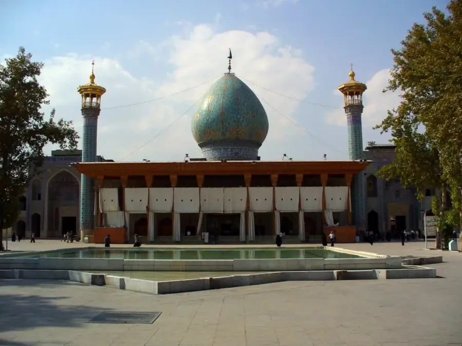
- Top sights: Stone bridge · Ezhdeha Balouch No Hunting Area · Boujagh National Park
- Nearby: Anbar sar (18 km)
Best time to visit & climate
The most pleasant time to visit is May–Jul.
| Jan | Feb | Mar | Apr | May | Jun | Jul | Aug | Sep | Oct | Nov | Dec | |
|---|---|---|---|---|---|---|---|---|---|---|---|---|
| Avg °C | 10 | 10 | 12 | 15 | 20 | 25 | 27 | 28 | 25 | 21 | 16 | 12 |
| Rain mm | 96 | 86 | 78 | 63 | 24 | 26 | 40 | 61 | 124 | 180 | 169 | 110 |
📋 Practical info
Geography
Facts
- The riverbed measures about 670 kilometers from the source to the mouth.
- Formed at the city of Manjil from the confluence of two major river branches.
- Carries a massive amount of sediment, which gives the water its light color.
- The dam system built on the river generates significant amounts of electrical energy.
- The water of the river is essential for the extensive rice cultivation of Gilan province.
- After breaking through the mountains, it flows directly into the Caspian Sea.
- Frequently served as a natural border between territories throughout Persian history.
Explore nearby
Notable places around
Route planner — Car & Motorhome
Where do you start? We build the route here, with stops and country notes along the way.
© OpenStreetMap contributors · OpenRouteService
Sights in the town Sefid-Rud (4)
Sights nearby
Frequently asked questions
What does the name Sefid Rud mean?
Where does the river flow into?
Is there a dam on the Sefid Rud?
Can you camp by the river?
What is the weather like in the region?
Sefid-Rud: where is it located?
Sefid-Rud: what is there to see?
Sefid-Rud: when is the best time to visit?
Sefid-Rud: why is it worth visiting?

Nearby cities
History & landmarks
More places