Plizio Visual Lab
Landmannalaugar
ℹ️Practical info — Landmannalaugar
▾
🌤 Weather — 5 days
📍 Nearby
Sights nearby
💡 Tips
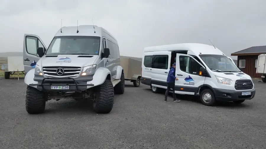
- Access requires a 4x4 vehicle due to rough F-roads and unbridged river crossings.
- Pack a swimsuit and a towel to enjoy the natural geothermal hot springs after a hike.
- Weather changes rapidly in the highlands; dress in layers and carry wind and waterproof gear.
- Bring all your own food and supplies, as there are no supermarkets here.
- The hiking paths are well-marked; consult the warden's hut for the best routes for the day.
🍽 Food
Grab coffee, sweets, and basic provisions from the famous green school bus shop.
Prepare your own hearty lunch before arriving for the long hiking trails.
Bring ingredients to cook a warm, comforting meal at the campsite facilities.
🛍 Shopping · 🧘 Quiet spots
Essential detailed trail maps can be purchased at the warden's hut.
Buy emergency snacks or camping basics at the Mountain Mall bus.
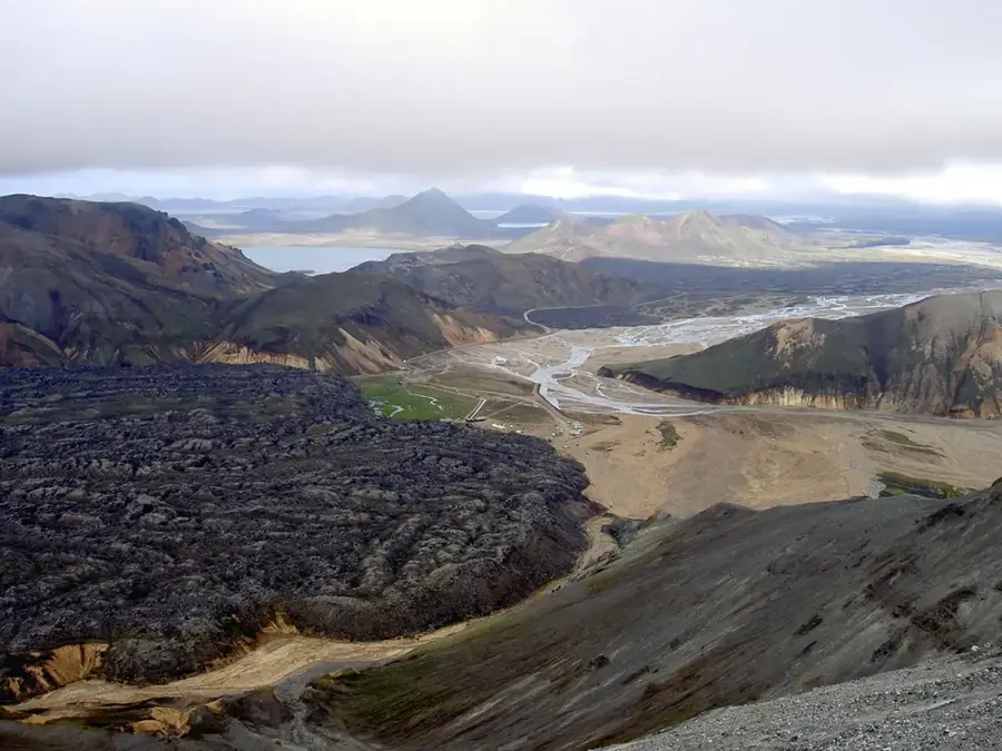
Hike through this surreal, ancient lava field for an otherworldly experience.
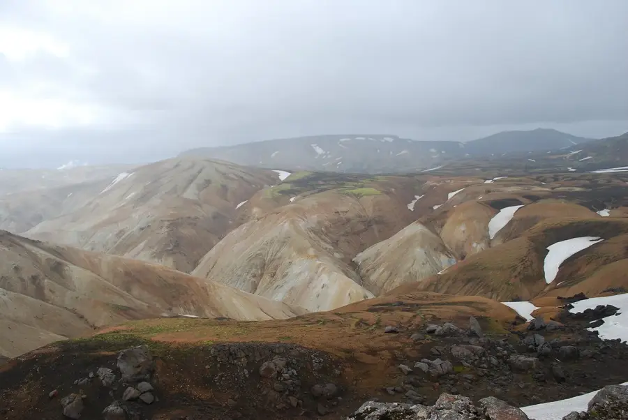
Walk up this colorful sulphur mountain for panoramic, peaceful views.
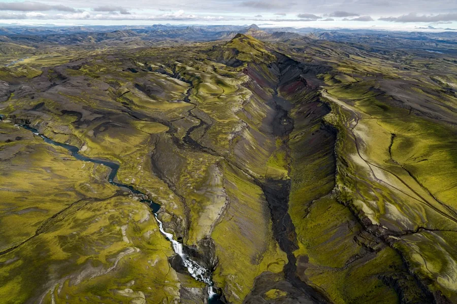
A strikingly green canyon that is often less crowded than the main paths.
Water temperature…
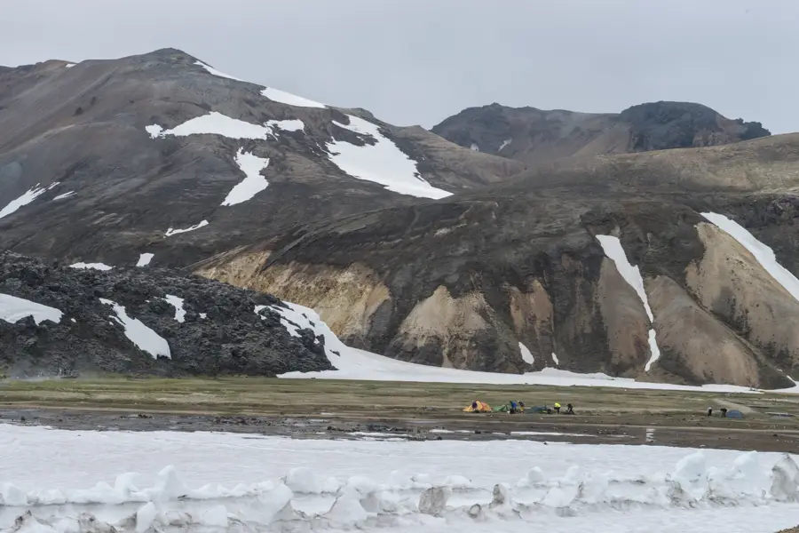
Landmannalaugar is situated in the heart of the Icelandic Highlands within the Fjallabak Nature Reserve. It is world-renowned for its rhyolite mountains, which display a memorable spectrum of colors including ochre, yellow, pink, blue, and green. This unique geology resulted from volcanic activity interacting with mineral-rich rock. The area is only accessible during the summer months (June to September) via F-roads, requiring high-clearance 4WD vehicles. A highlight of any visit is bathing in the natural hot spring located right next to the Laugahraun lava field. Here, warm geothermal water mixes with a cold stream, providing the well-suited soak after a day of hiking. Landmannalaugar is also the northern trailhead for the famous 55-kilometer Laugavegur trek to Þórsmörk. Shorter day hikes include the climb up Bláhnúkur (Blue Peak) or the sulfur-streaked Brennisteinsalda volcano. Facilities on-site include a large mountain hut, a campsite, and basic restrooms. There are no permanent shops, but a "Mountain Mall", a converted school bus, usually sells basic groceries and snacks. Reaching the site involves fording rivers, so an experienced driver and proper off-road vehicle are vital. Landmannalaugar's raw, otherworldly beauty makes it one of the most rewarding destinations in the interior.
- Location: Iceland
- Nearby: Þórsmörk (40 km)
Best time to visit & climate
The most pleasant time to visit is Jun–Aug.
| Jan | Feb | Mar | Apr | May | Jun | Jul | Aug | Sep | Oct | Nov | Dec | |
|---|---|---|---|---|---|---|---|---|---|---|---|---|
| Avg °C | -4 | -4 | -3 | -1 | 2 | 6 | 8 | 7 | 4 | 1 | -3 | -4 |
| Rain mm | 236 | 219 | 208 | 170 | 123 | 122 | 147 | 159 | 224 | 220 | 210 | 236 |
Geography
Facts
- Colorful rhyolite mountains
- Natural geothermal pool
- Laugavegur trail start
- Fjallabak Nature Reserve
- Summer-only access
- 4WD vehicle required
- Obsidian lava fields
- Highland wilderness area
Explore nearby
Notable places around
Route planner — Car & Motorhome
Where do you start? We build the route here, with stops and country notes along the way.
© OpenStreetMap contributors · OpenRouteService
Sights in the town Landmannalaugar (1)
Frequently asked questions
How do you get to Landmannalaugar?
What is special about the mountains there?
Can you swim there?
When are the roads open?
Do you have to pay for parking?
Landmannalaugar: where is it located?
Landmannalaugar: when is the best time to visit?
Landmannalaugar: why is it worth visiting?

Nearby cities


History & landmarks


Nature
More places