Plizio Visual Lab
Dimmuborgir
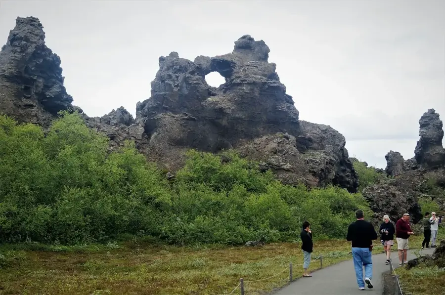
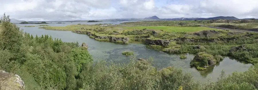
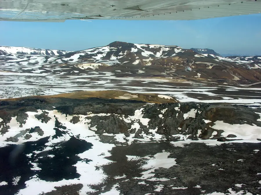
Dimmuborgir is a vast area of unusually shaped lava fields located east of Lake Mývatn in northern Iceland. The area was formed approximately 2,300 years ago during a massive volcanic eruption from the Lúnt crater row, as lava flowed over a marshy wetland. Trapped water underneath the molten rock created columns of steam that shaped the cooling lava into complex, tower-like structures. After the surface solidified and the remaining liquid lava drained away, these bizarre formations were left behind, today resembling ruined castles or ancient cathedrals. The name Dimmuborgir translates to "Dark Castles," reflecting the site's somber and mystical atmosphere. In Icelandic folklore, the area is famously regarded as the home of the 13 Yule Lads and their mother, Grýla. Geologically, it is one of the world's finest examples of collapsed lava lakes and intricate lava tubes. Visitors can explore various marked trails through the rocky labyrinth, with the formation known as "Kirkjan" (The Church) being the most prominent feature. The region is a key part of the Mývatn nature reserve and holds significant ecological and tourist value.
- Location: Iceland
- Top sights: Dimmuborgir · Hallarflöt · Kirkja
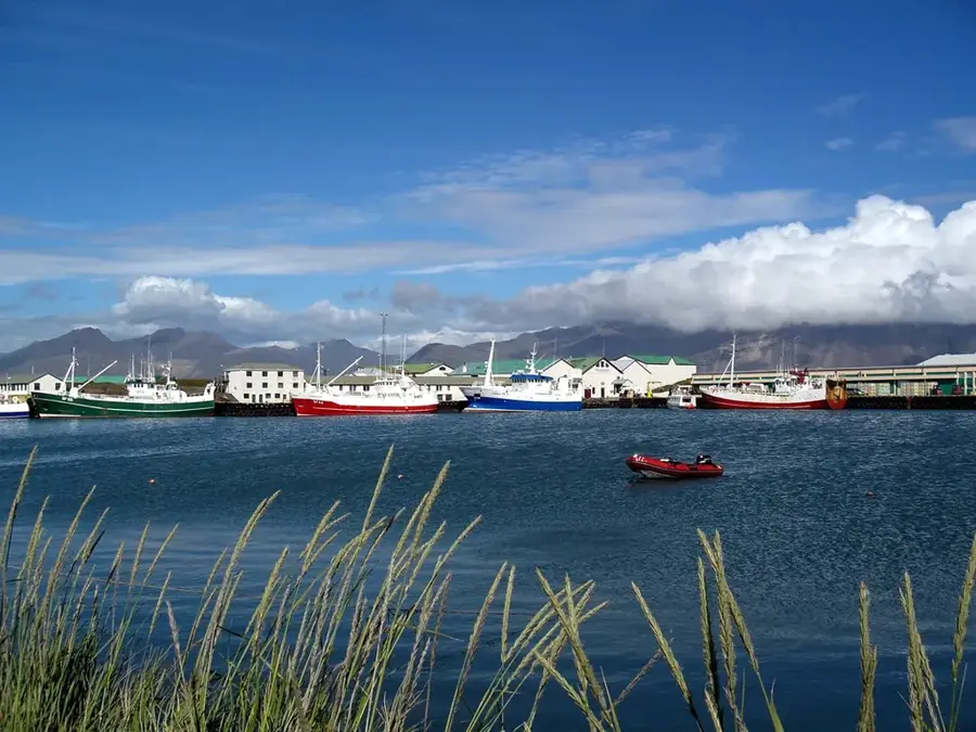
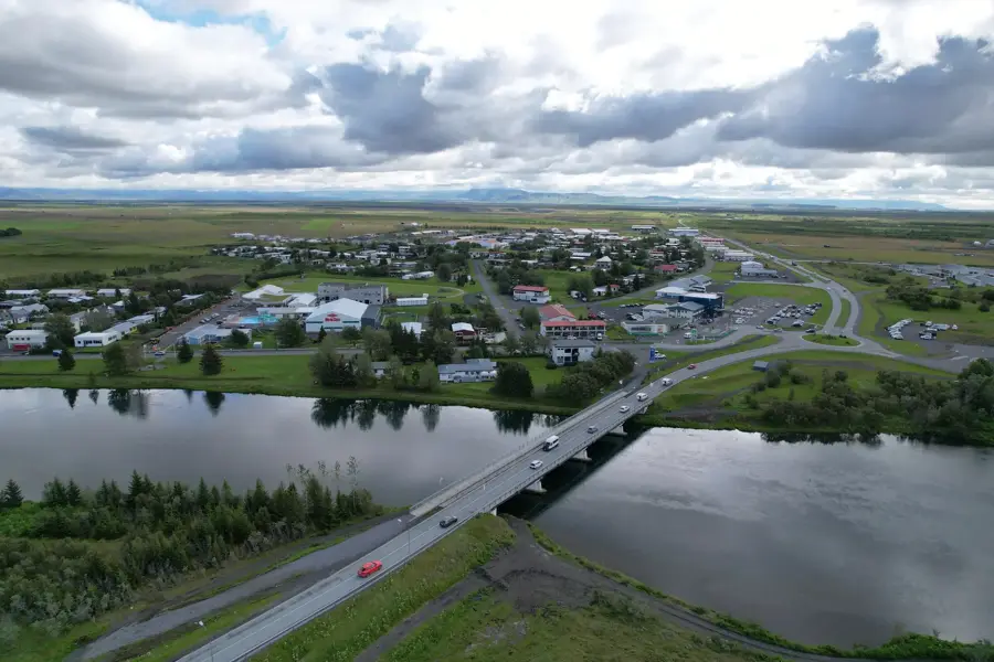
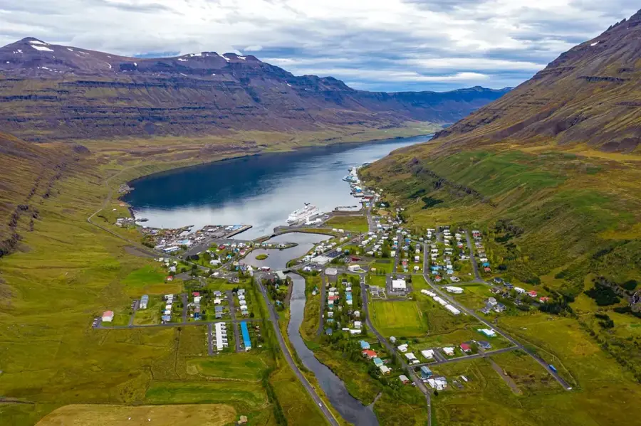
- Nearby: Lake Mývatn (4 km)
Best time to visit & climate
The most pleasant time to visit is Jun–Aug.
| Jan | Feb | Mar | Apr | May | Jun | Jul | Aug | Sep | Oct | Nov | Dec | |
|---|---|---|---|---|---|---|---|---|---|---|---|---|
| Avg °C | -6 | -6 | -5 | -3 | 1 | 5 | 6 | 5 | 3 | -1 | -4 | -6 |
| Rain mm | 83 | 68 | 77 | 68 | 71 | 58 | 78 | 83 | 106 | 105 | 101 | 96 |
📋 Practical info
Geography
Facts
- The lava field was created by a volcanic eruption around 2,300 years ago.
- The name Dimmuborgir translates to "Dark Castles" in English.
- It was formed by the collapse of a large, crust-covered lava lake.
- The most famous formation is a large lava cave called "Kirkjan" (The Church).
- Icelandic folklore identifies this place as the home of the Yule Lads.
- The site is located on the eastern shore of Lake Mývatn.
Explore nearby
Notable places around
Route planner — Car & Motorhome
Where do you start? We build the route here, with stops and country notes along the way.
© OpenStreetMap contributors · OpenRouteService
Sights in the town Dimmuborgir (4)
Sights nearby
Frequently asked questions
What is Dimmuborgir?
What legends are associated with this place?
How much time should I plan for the visit?
Is the trail difficult?
When is the best time to visit?
Dimmuborgir: where is it located?
Dimmuborgir: what is there to see?
Dimmuborgir: when is the best time to visit?
Dimmuborgir: why is it worth visiting?

Nearby cities


History & landmarks


Nature

More places