Plizio Visual Lab
Medves Plateau
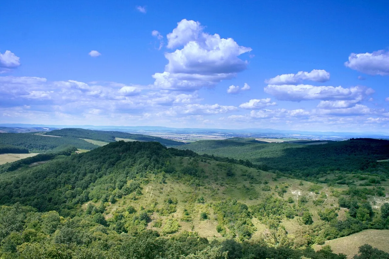
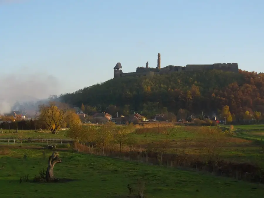
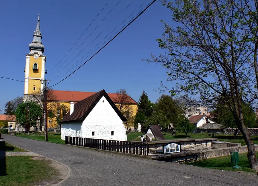
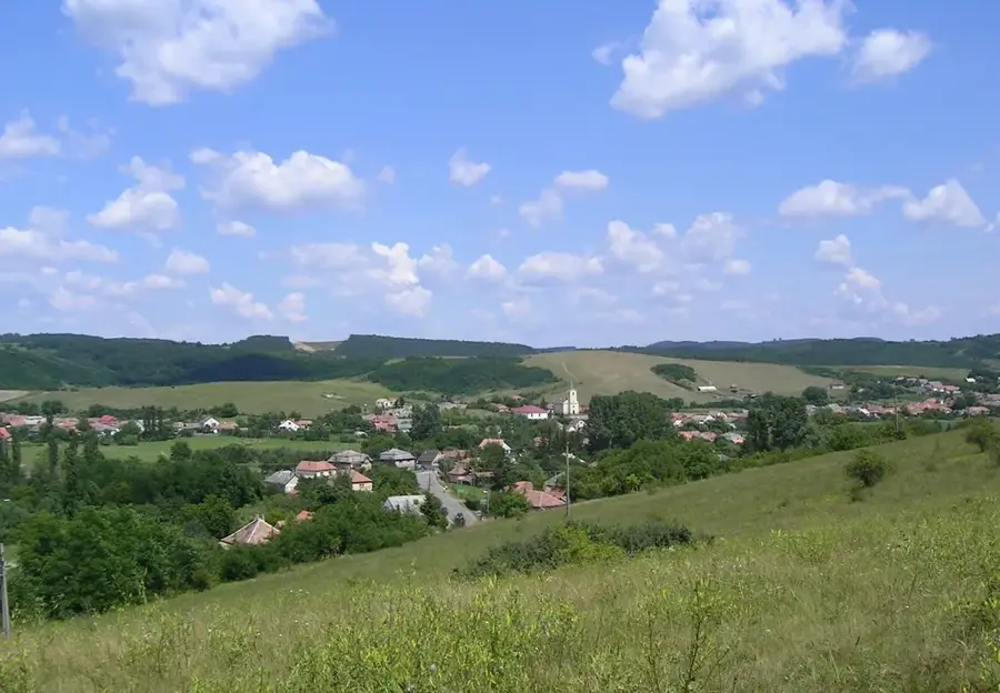
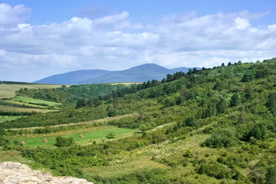
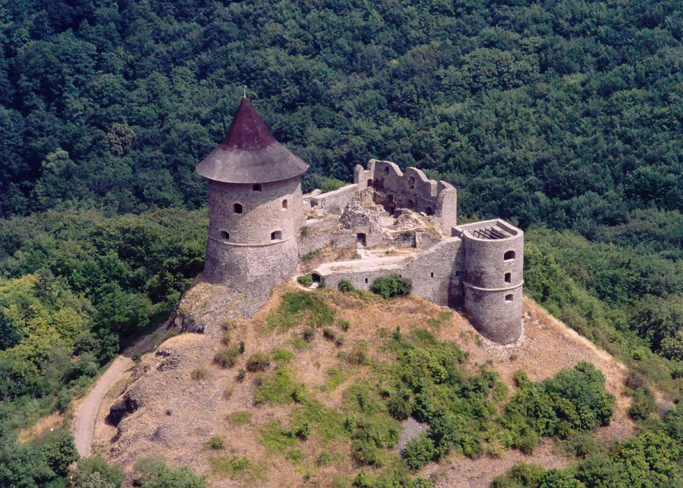
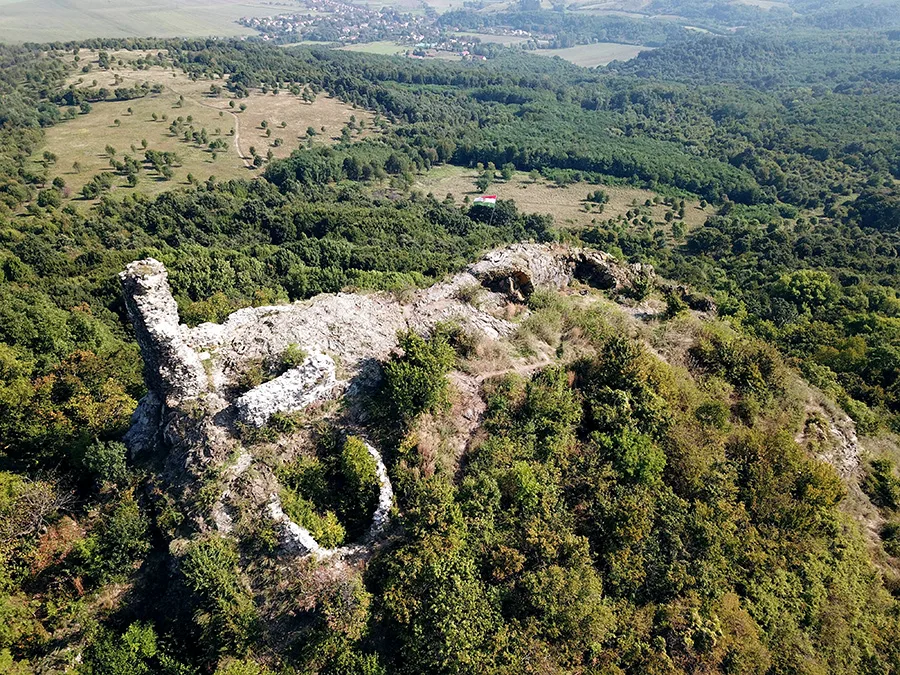
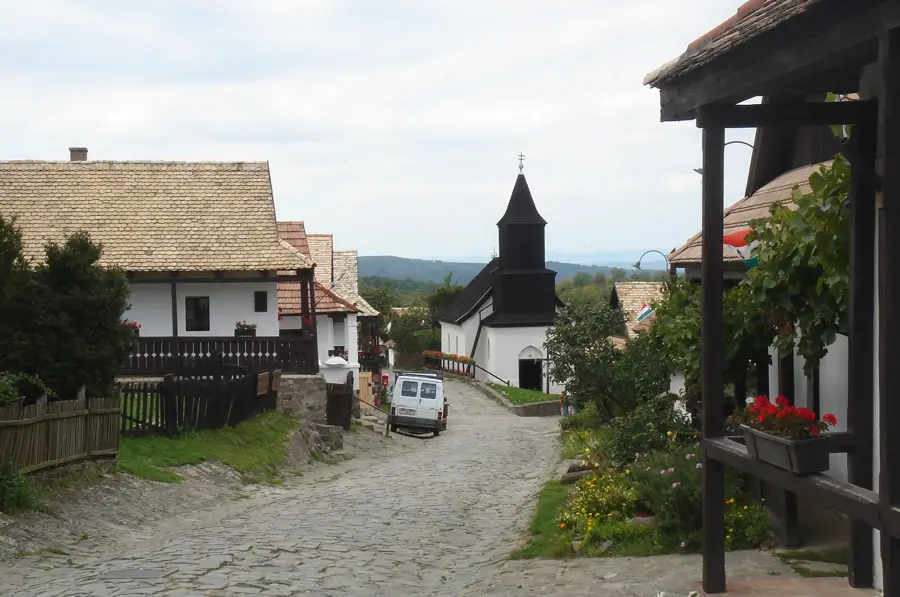
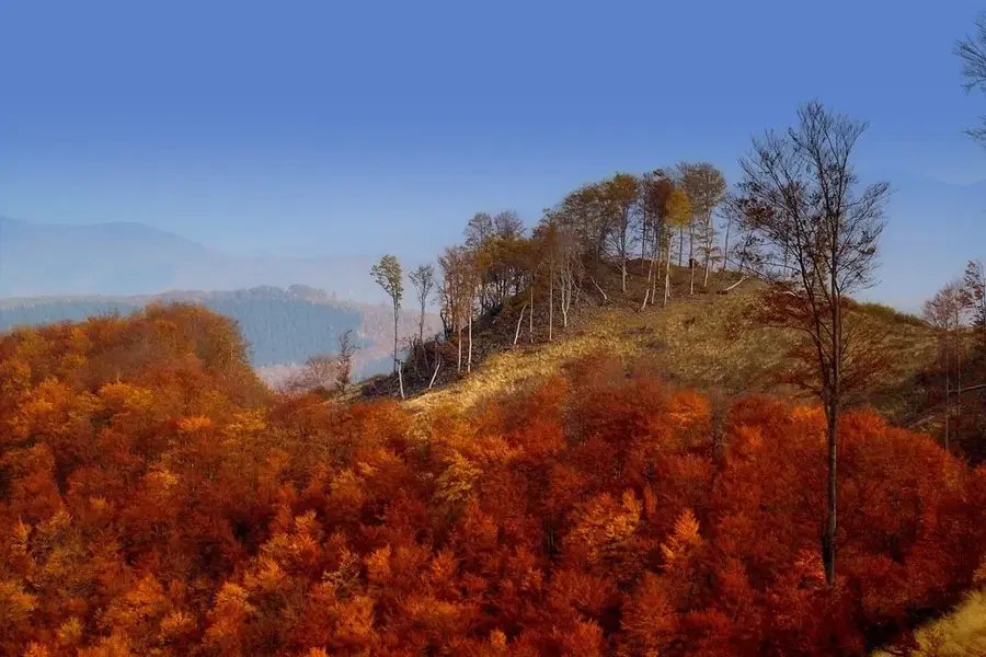
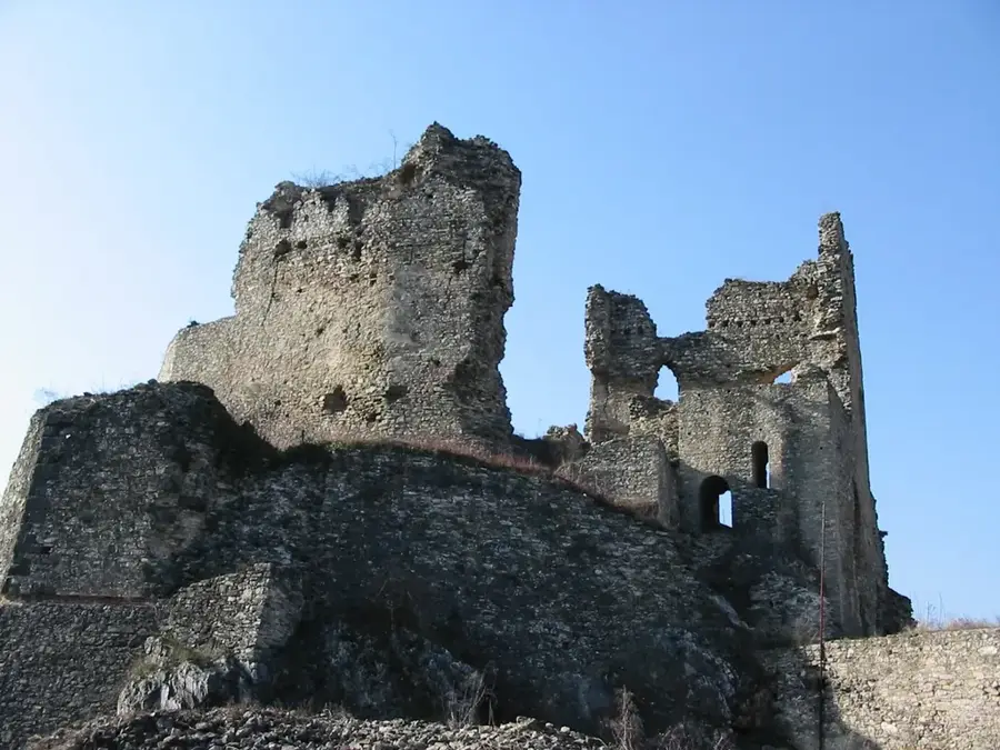
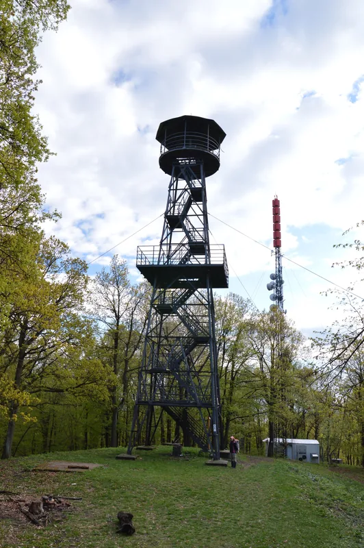
The Medves Plateau, straddling the border between Hungary and Slovakia, is the largest basalt plateau in Central Europe, covering an area of approximately 13 square kilometers. Formed about 2 to 3 million years ago by volcanic eruptions, the plateau was created as thick lava flows solidified over older sandy sediments. The average elevation of the plateau ranges from 500 to 600 meters, with Salis-tető at 660 meters being the highest point on the Hungarian side. The landscape is a mosaic of vast mountain meadows, ancient beech forests, and striking geological formations such as the basalt columns at Somoskő. Historically, the area was vital for stone quarrying, as its high-quality basalt was used to pave streets in cities like Budapest and Vienna. Perched on its edges are the medieval castles of Salgó and Somoskő, which served as crucial defensive fortifications during the Ottoman era. Today, as part of the Novohrad-Nógrád Geopark, the Medves Plateau is a premier destination for hiking and geological study, offering views as far as the High Tatras.
- Location: Hungary
- Top sights: Kőtenger · Kisvasúti völgyhíd (összeomlott) · Mustó János Kiállítása
- Nearby: Pásztó (29 km)
Best time to visit & climate
The most pleasant time to visit is Jun–Aug.
| Jan | Feb | Mar | Apr | May | Jun | Jul | Aug | Sep | Oct | Nov | Dec | |
|---|---|---|---|---|---|---|---|---|---|---|---|---|
| Avg °C | -3 | -1 | 4 | 11 | 16 | 19 | 22 | 21 | 16 | 10 | 4 | -1 |
| Rain mm | 41 | 44 | 44 | 43 | 75 | 80 | 83 | 67 | 58 | 56 | 49 | 47 |
📋 Practical info
Geography
Facts
- The plateau covers a total area of approximately 13 square kilometers.
- Volcanic activity in the region occurred 2 to 3 million years ago.
- Salis-tető at 660 meters is the highest point on the Hungarian side.
- Basalt from Medves was used to pave the historic streets of Vienna.
- The famous Somoskő basalt columns are located at the edge of the plateau.
- The area is part of the internationally recognized Novohrad-Nógrád Geopark.
Explore nearby
Notable places around
Route planner — Car & Motorhome
Where do you start? We build the route here, with stops and country notes along the way.
© OpenStreetMap contributors · OpenRouteService
Sights in the town Medves Plateau (10)
Magyarországi Kárpát-egyesület Salgótarjáni Tagozatának Kiállítása🏛 museum
Exhibition by the Salgótarján branch of the Hungarian Carpathian Association, focusing on nature and hiking.
Ritzer-házak romja
Ruins of the Ritzer houses on the Medves Plateau, remains of former dwellings.
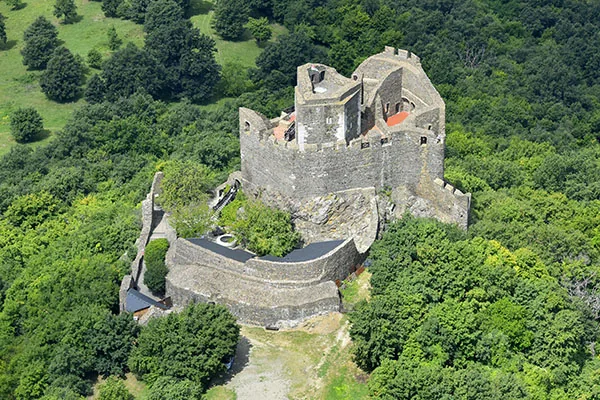
Šomoška🏰 castle
Castle ruin in Slovakia, perched on a basalt rock, well-preserved fortification.
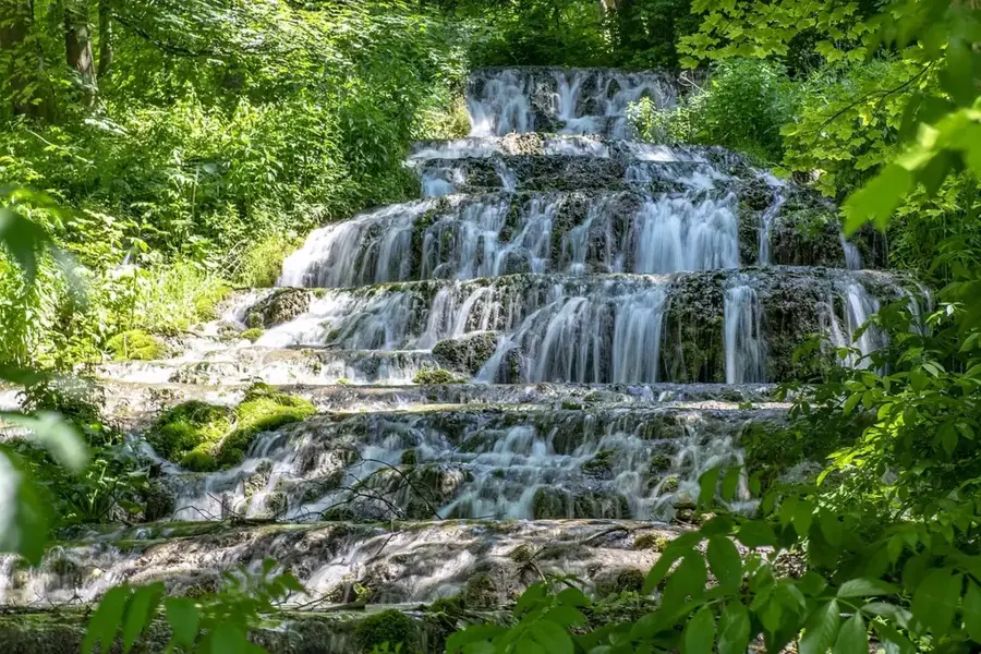
Kamenný vodopád
Stone waterfall, a basalt rock formation resembling a frozen waterfall.
Somoskő Vadaspark
Wildlife park at the foot of Somoskő hill, housing native animal species in enclosures.
Šiator
Mountain in Slovakia, part of the Medves Plateau, offering a viewpoint.
Sights nearby
Frequently asked questions
Do I have to pay for parking on the Medves Plateau?
Is the plateau recommended for families with small children?
Can Salgó Castle be seen from the plateau?
When is the best time to visit?
Are there buffets or restaurants on the plateau?
Medves Plateau: where is it located?
Medves Plateau: what is there to see?
Medves Plateau: when is the best time to visit?
Medves Plateau: why is it worth visiting?

Nearby cities

History & landmarks
Nature
More places