Plizio Visual Lab
Cserhat Forest

Weather…
Water temperature…
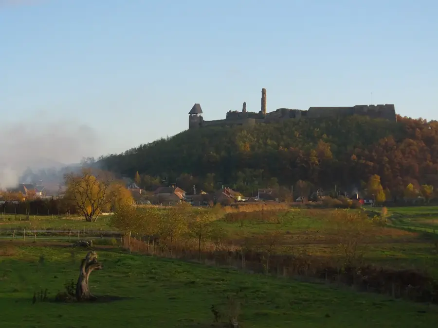
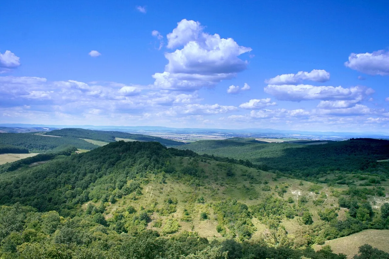
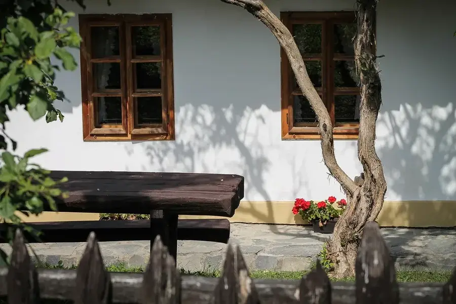
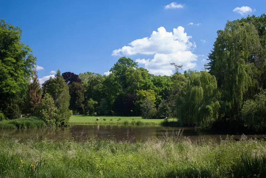
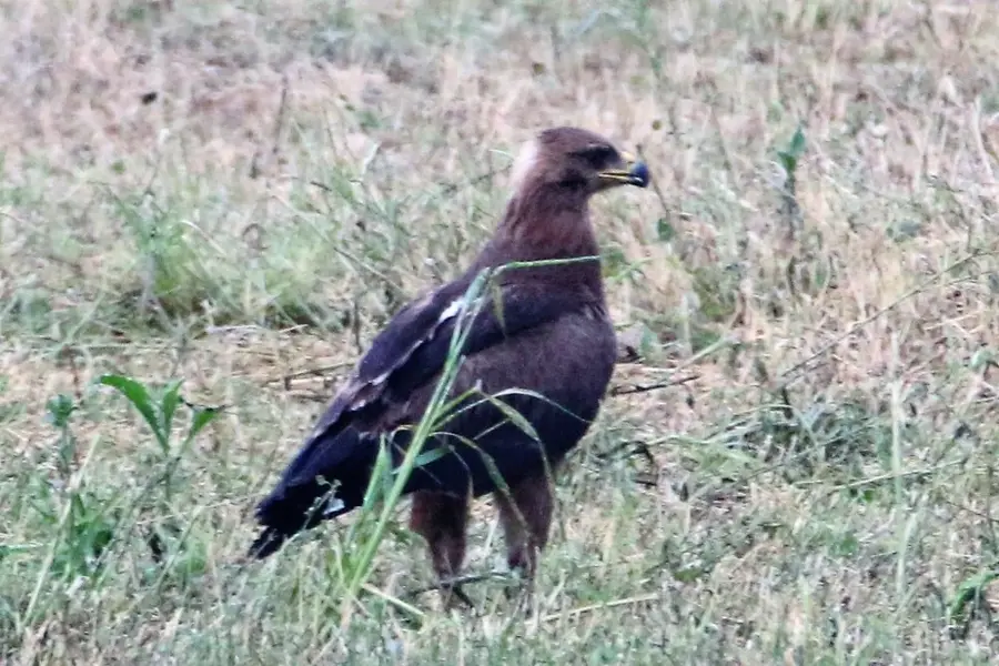
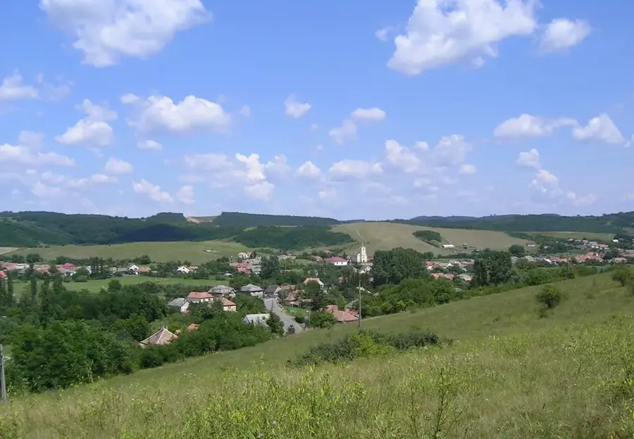
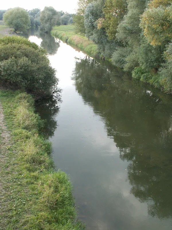
The Cserhát Forest covers the rolling hills of the Cserhát Mountains in northern Hungary, characterized by a unique mosaic of woodlands, meadows, and traditional villages. The forest canopy is mostly composed of sessile oak and hornbeam, with beech stands appearing in higher, cooler elevations. Geologically, the area is a fascinating mix of volcanic andesite and ancient sedimentary deposits, often revealing marine fossils from the Miocene epoch. Historically, this forest has been the homeland of the Palóc people, known for their distinct dialect and well-preserved folk traditions, most notably in the UNESCO World Heritage village of Hollókő. The woodland provides a sanctuary for a rich variety of wildlife, including red deer, wild boar, and the rare lesser spotted eagle. Hikers enjoy the extensive network of trails, including the National Blue Trail, which lead to medieval castle ruins and scenic lookouts. Modern conservation efforts in the Cserhát Forest focus on preserving its diverse habitats while encouraging sustainable eco-tourism and environmental education.
- Location: Hungary
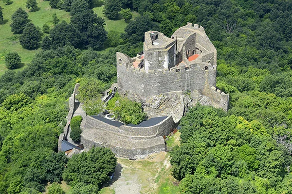
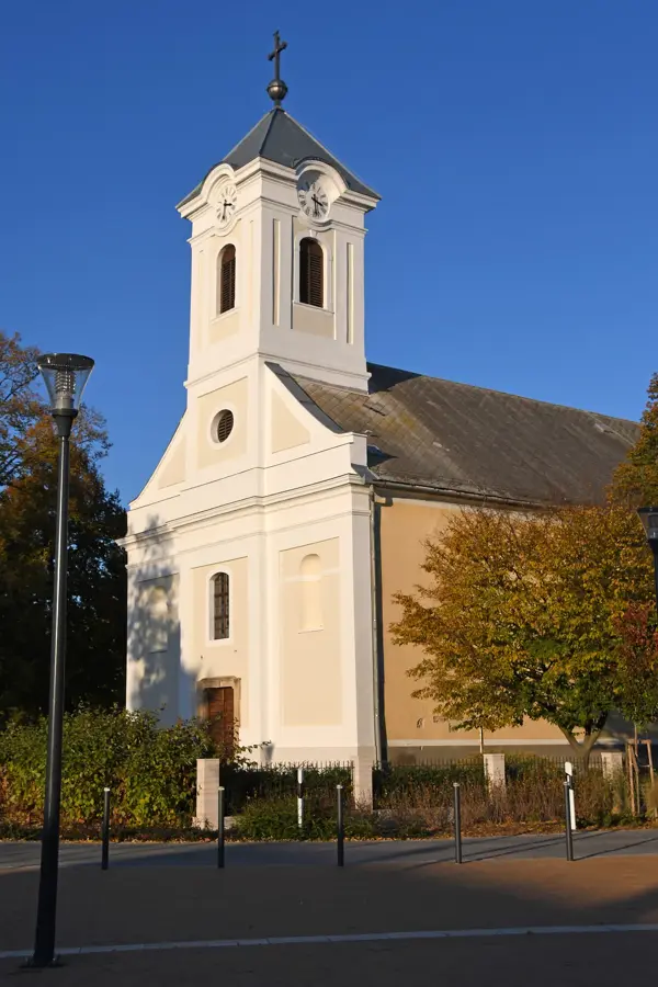
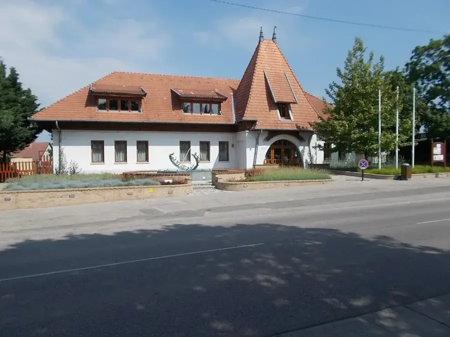
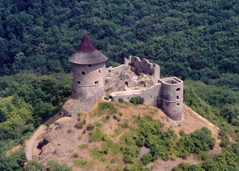
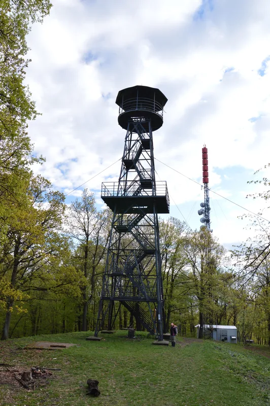
- Top sights: Simonyi-kastély · Jánossy-kastély · Istállógaléria, Akol színház
- Nearby: Pásztó (18 km)
Best time to visit & climate
The most pleasant time to visit is Jun–Aug.
| Jan | Feb | Mar | Apr | May | Jun | Jul | Aug | Sep | Oct | Nov | Dec | |
|---|---|---|---|---|---|---|---|---|---|---|---|---|
| Avg °C | -3 | -1 | 4 | 11 | 16 | 20 | 22 | 22 | 16 | 10 | 4 | -1 |
| Rain mm | 42 | 42 | 43 | 40 | 72 | 76 | 78 | 68 | 57 | 54 | 47 | 46 |
📋 Practical info
Geography
Facts
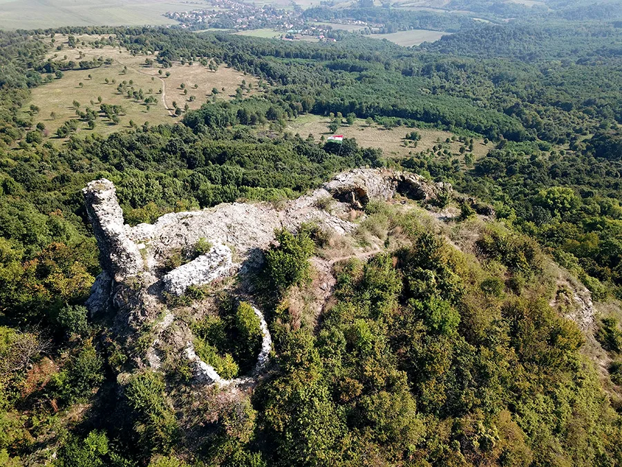
- The highest point in the Cserhát is Mount Naszály at 652 meters.
- Hollókő, located within the forest, is the only Hungarian village on the UNESCO list.
- The forest area is home to over 1,000 different plant species.
- Fossils of 17-million-year-old sea cows have been discovered in the area.
- The average elevation of the hills ranges between 300 and 500 meters.
- The forest is part of the world's first cross-border geopark.
Explore nearby
Notable places around
Route planner — Car & Motorhome
Where do you start? We build the route here, with stops and country notes along the way.
© OpenStreetMap contributors · OpenRouteService
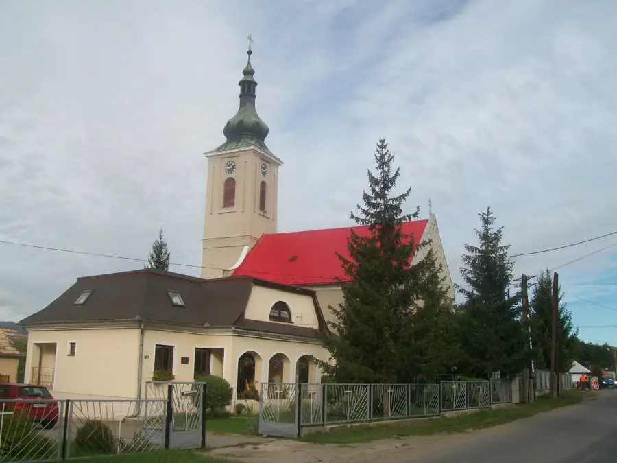
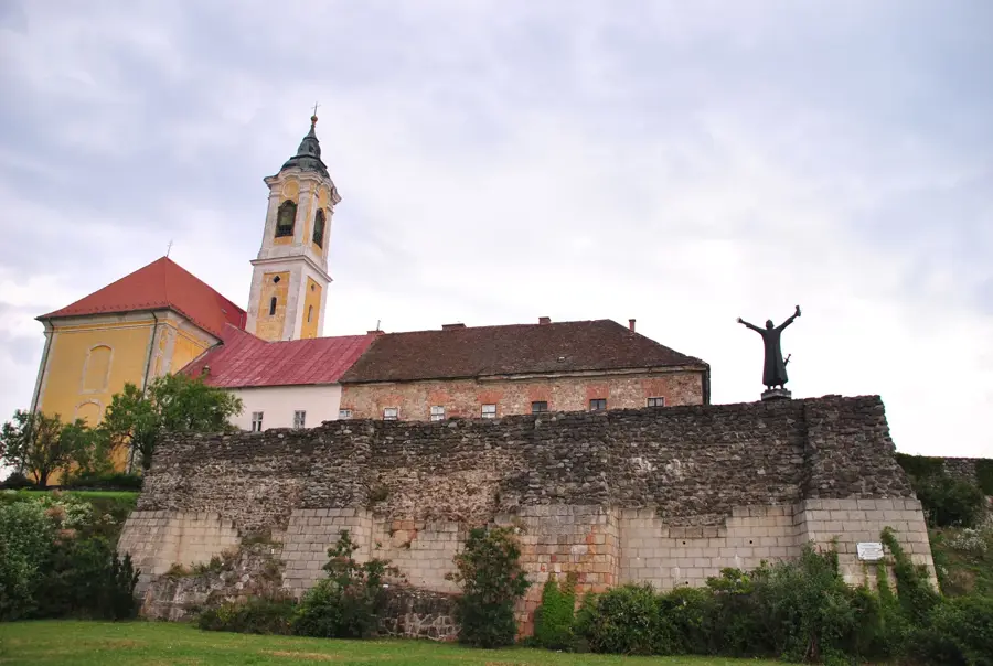
Sights in the town Cserhat Forest (6)
Sights nearby
Frequently asked questions
Are there marked hiking trails in the Cserhát forests?
Is cycling allowed in the forest?
Which animals can be observed here?
Is the terrain very steep?
Are there shelters for hikers?
Cserhat Forest: where is it located?
Cserhat Forest: what is there to see?
Cserhat Forest: when is the best time to visit?
Cserhat Forest: why is it worth visiting?

Nearby cities
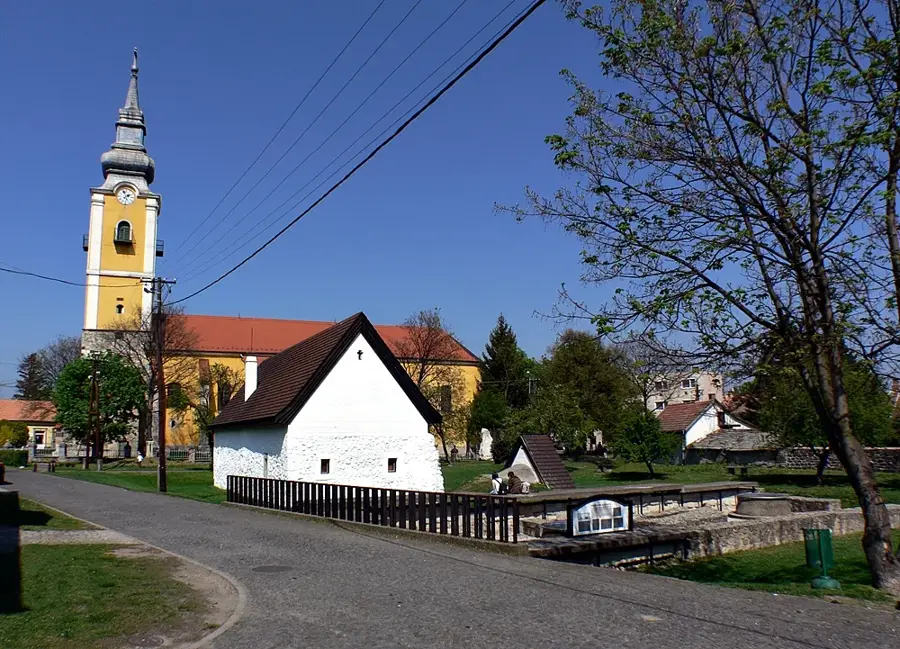
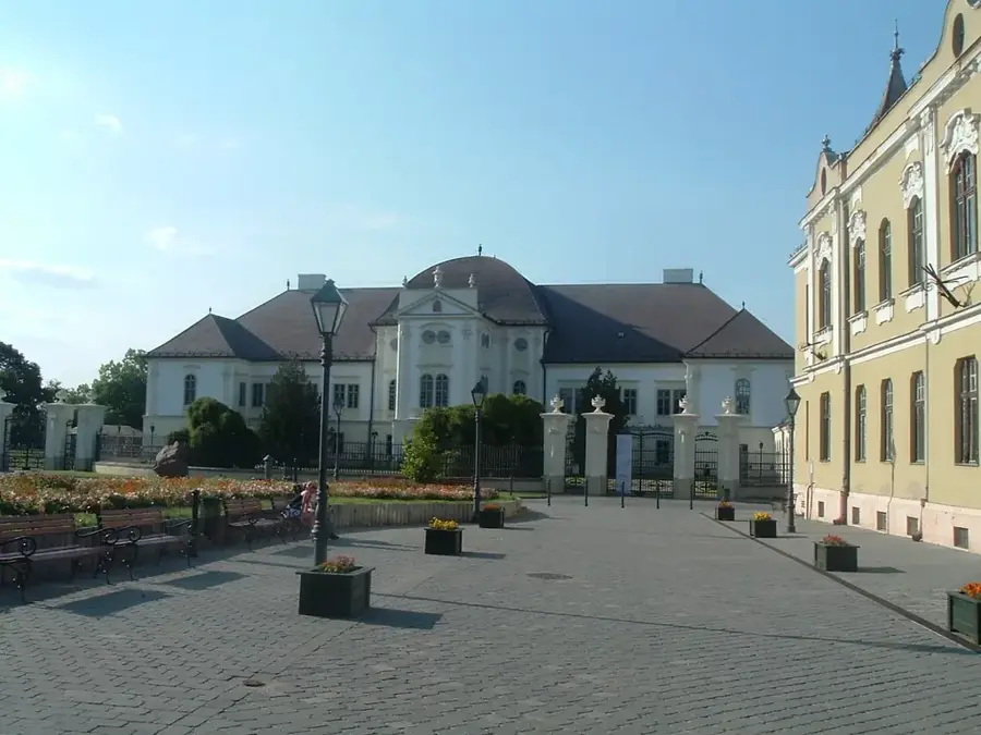
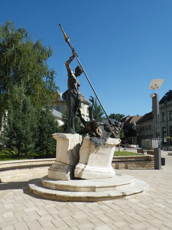

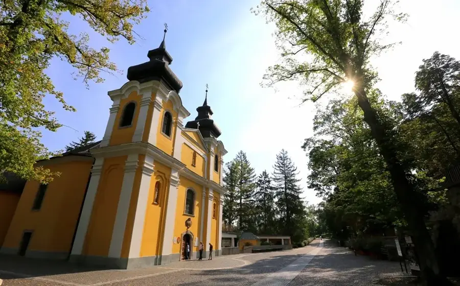

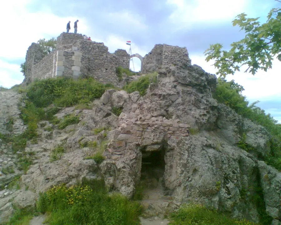
History & landmarks
Nature
More places