Plizio Visual Lab
Bátonyterenye
ℹ️Practical info — Bátonyterenye
▾
🌤 Weather — 5 days
📍 Nearby
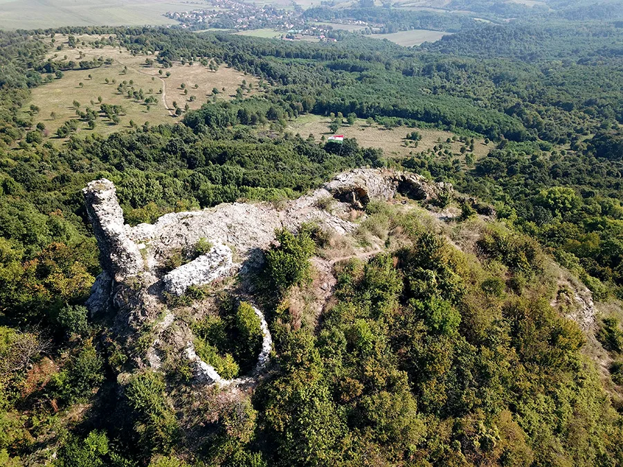
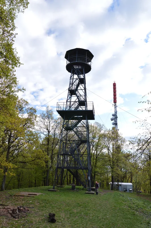
Sights nearby
💡 Tips
- The Maconka reservoir is well-suited for fishing and a peaceful walk; daily tickets are available on site.
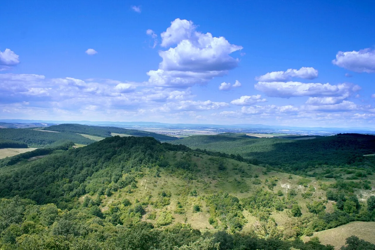
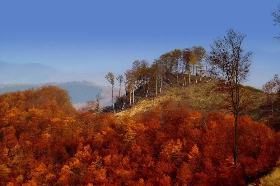
- This is an excellent starting point for hiking trails into the Mátra mountains.
- Visit the Gyürky-Solymossy Castle and its beautifully preserved English landscape garden.
- Weather can change quickly near the mountains, so it is best to pack in layers.
🍽 Food
Try this hearty soup with green beans and meat, typical of the region's traditional Palóc culture.
Look for these potato dumplings with sheep cheese and bacon in local restaurants.
Local bakeries often offer excellent strudel with sour cherry or poppy seed fillings.
🛍 Shopping · 🧘 Quiet spots
The Palóc region is known for woodwork; check souvenir shops for small hand-carved items.
During the season, you can find dried or fresh forest mushrooms gathered from the Mátra mountains at local markets.
Take a leisurely stroll through the garden of the Gyürky-Solymossy Castle.
An excellent spot to relax, watch the birds, and enjoy the view of the mountains.
Water temperature…
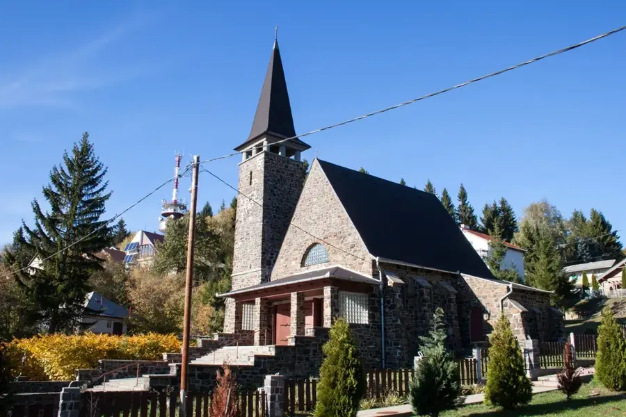
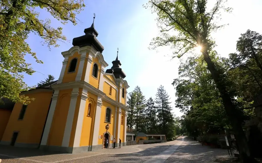
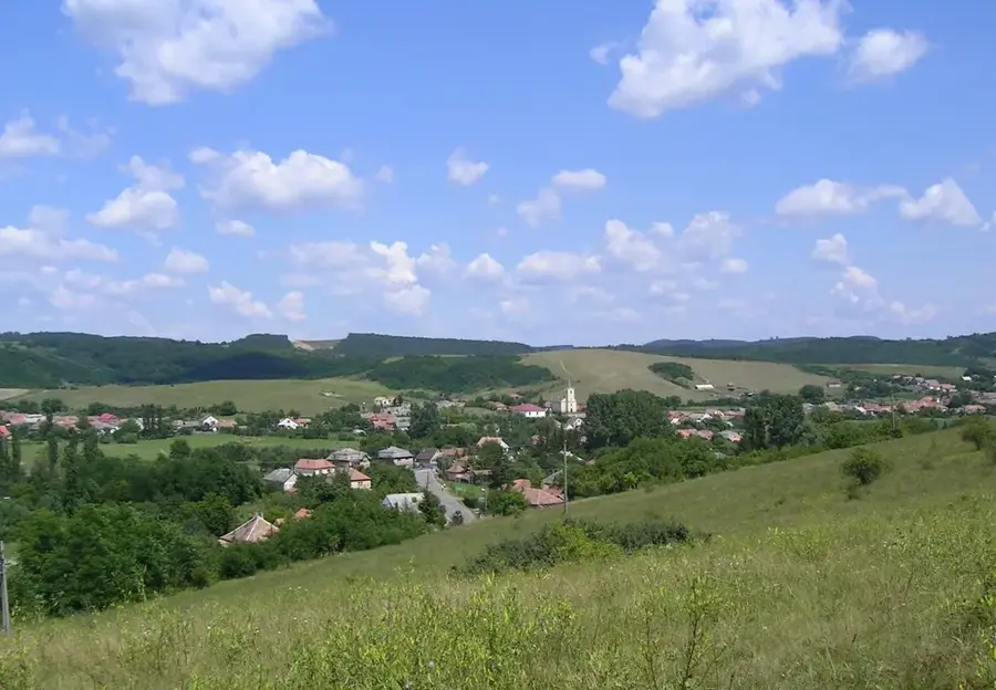
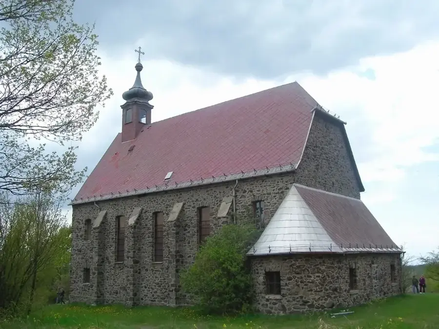
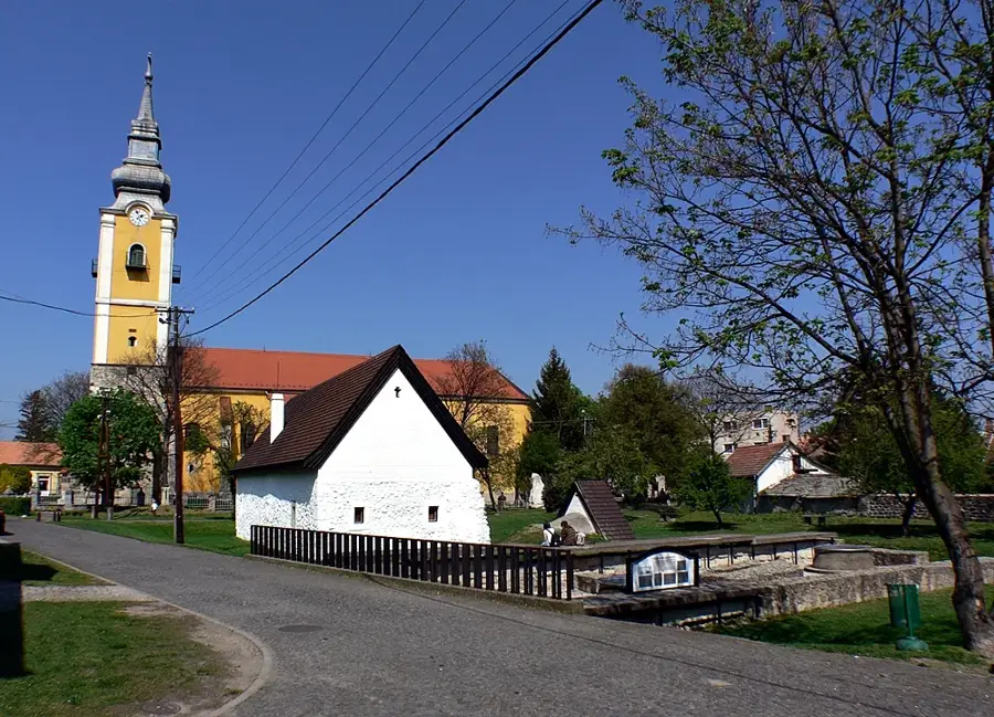
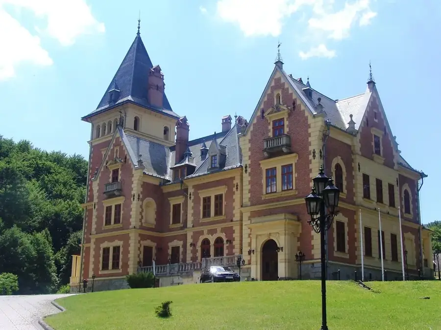
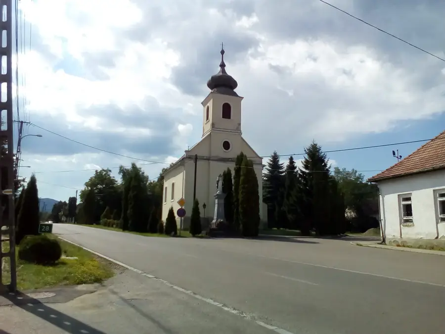
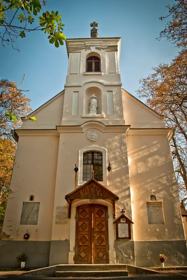
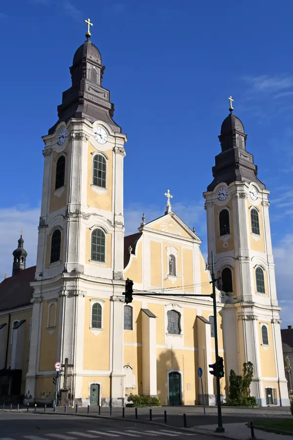
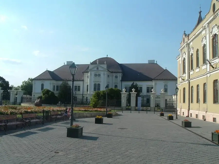
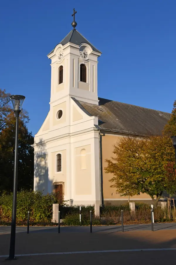
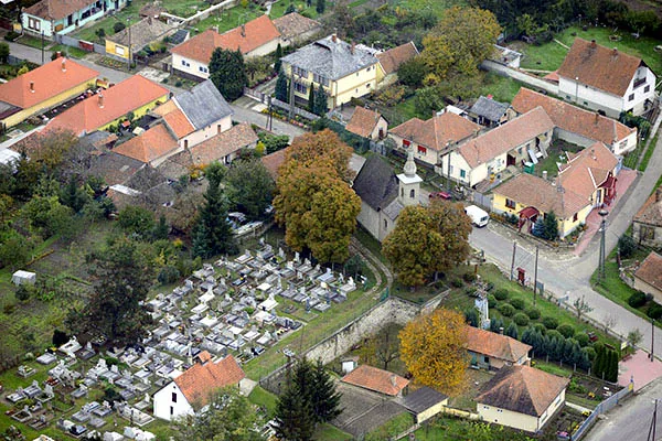
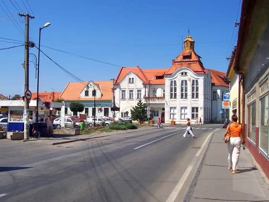
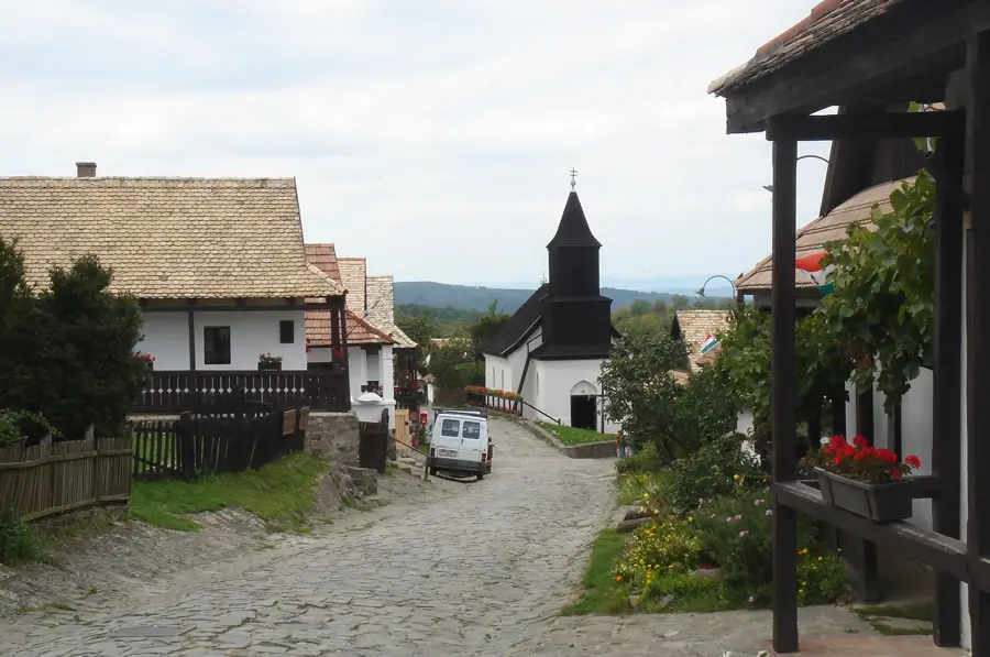
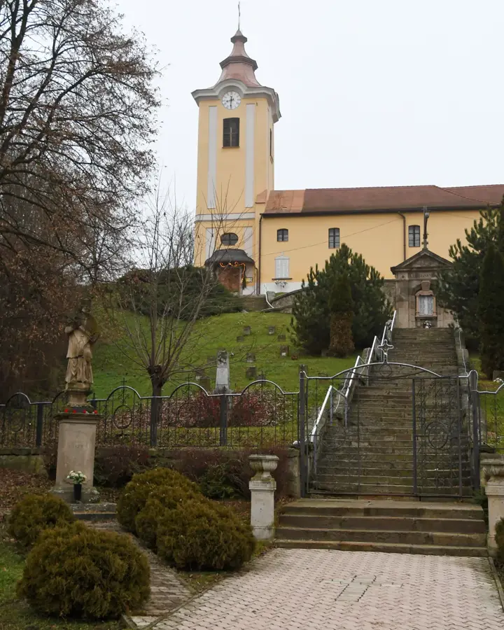
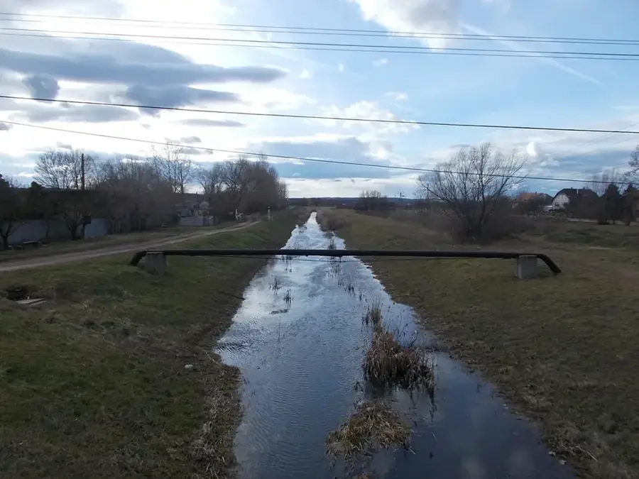
Bátonyterenye is located in northern Hungary, within Nógrád County, set at the junction of the Mátra and Cserhát mountains in the Zagyva River valley. The town was officially established in 1984 through the merger of Nagybátony, Kisterenye, and Szúpatak, later joined by Maconka, resulting in a decentralized urban structure with multiple historic hearts. The region's identity is deeply rooted in its coal mining heritage, which fueled local development for over a hundred years and is still commemorated in mining memorials and museum exhibits. The town's architectural centerpiece is the Gyürky-Solymossy Castle in Kisterenye, an 18th-century Baroque manor surrounded by a sprawling English park with ancient, rare trees. Another significant landmark is the Romanesque church in the Maconka district, which houses valuable medieval frescoes. Geographically, the town is a prime gateway to the Mátra mountains and is home to the Maconka Reservoir, a world-renowned destination for sport fishing and outdoor recreation. Modern Bátonyterenye is focused on transitioning from its industrial past to becoming a center for nature-based tourism and the preservation of Palóc folk traditions.
- Location: Hungary
- Top sights: Gyürky-Solymossy Castle · Maconka Reservoir · Saint Stephen Church (Kisterenye)
- Population: ~11.056
Best time to visit & climate
The most pleasant time to visit is Jun–Aug.
| Jan | Feb | Mar | Apr | May | Jun | Jul | Aug | Sep | Oct | Nov | Dec | |
|---|---|---|---|---|---|---|---|---|---|---|---|---|
| Avg °C | -3 | -1 | 4 | 11 | 16 | 19 | 22 | 21 | 16 | 10 | 4 | -1 |
| Rain mm | 41 | 44 | 44 | 43 | 75 | 80 | 83 | 67 | 58 | 56 | 49 | 47 |
Geography
Facts
- City formation: 1984 (unification of 4 villages)
- Main landmark: Gyürky-Solymossy Castle
- Outdoor site: Maconka Reservoir (fishing hub)
- Geographic context: Between Mátra and Cserhát ranges
- River: Zagyva River
- Economic heritage: Significant coal mining history
Explore nearby
Notable places around
Route planner — Car & Motorhome
Where do you start? We build the route here, with stops and country notes along the way.
© OpenStreetMap contributors · OpenRouteService
Sights in the town Bátonyterenye (4)
Frequently asked questions
What is the most famous sight in Bátonyterenye?
Are there any museums in the town?
Can you go hiking nearby?
What role did mining play?
Are there natural monuments?
Bátonyterenye: where is it located?
Bátonyterenye: what is there to see?
Bátonyterenye: when is the best time to visit?
Bátonyterenye: why is it worth visiting?

Nearby cities

History & landmarks
Nature
More places