Plizio Visual Lab
Mecsek
Weather…
Water temperature…
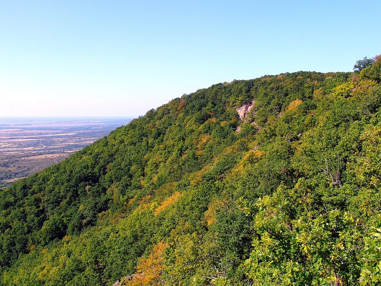
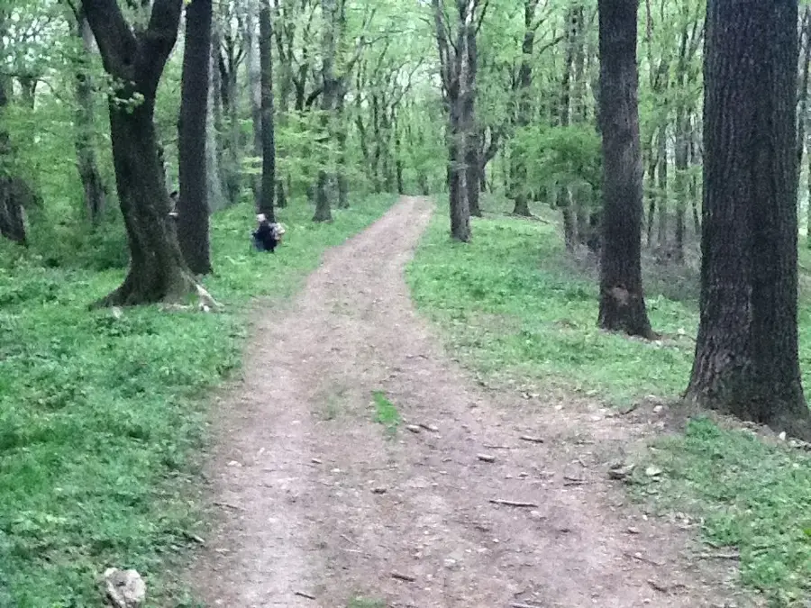
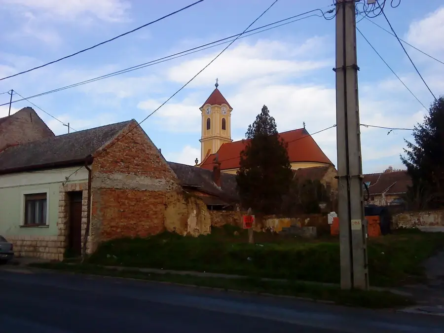
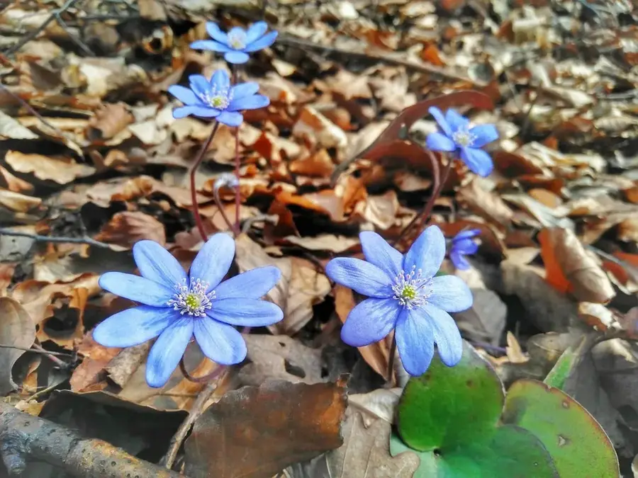
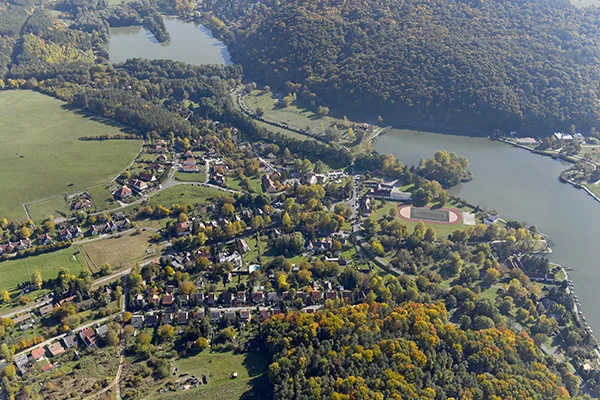
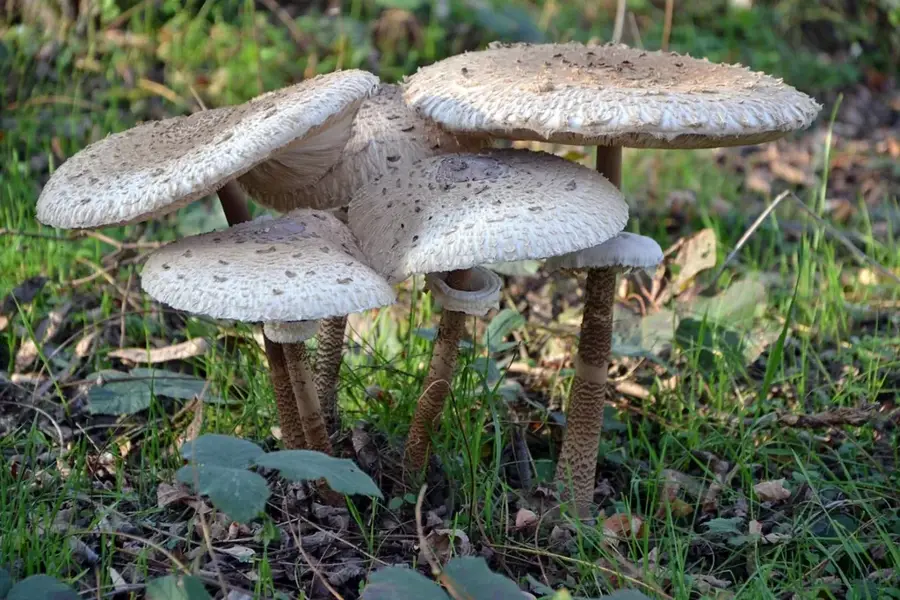
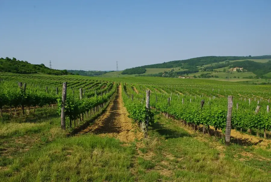
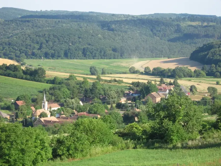
The Mecsek Mountains is a medium-height mountain range located in the heart of Baranya County in Southern Hungary, with its highest point being Zengő at 682 meters. The geological structure of the range is extremely diverse, with numerous rock types found here, from crystalline schists to limestone and sandstone. Its special climatic conditions are determined by sub-Mediterranean influences, which favor the survival of rare plant species such as the Banat peony. Mecsek is also rich in caves, the most famous being the Abaliget stalactite cave, which also functions as a medicinal cave. Historically, coal mining, which began in the 18th century, was decisive for the region, laying the foundations for the industrialization of Komló and Pécs. The southern slopes of the mountains have been famous for their wine production for centuries, with the Mecsek wine region tracing its traditions back to Roman times. For hikers, hundreds of kilometers of marked trails, lookouts, and springs make the landscape attractive, while the small settlements tucked away in the inner valleys have preserved their authentic atmosphere.
- Location: Hungary
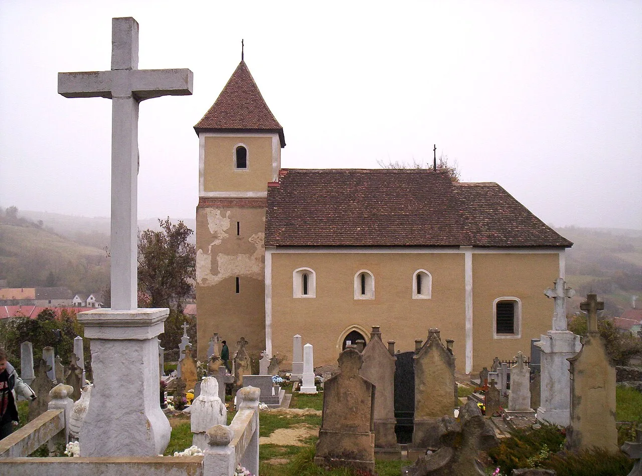
- Top sights: Sarlós Boldogasszony-templom · Melegmányi mésztufa lépcső · Szép kilátás a Melegmányi vízesésre
- Nearby: Tamási (54 km)
Best time to visit & climate
The most pleasant time to visit is Jun–Aug.
| Jan | Feb | Mar | Apr | May | Jun | Jul | Aug | Sep | Oct | Nov | Dec | |
|---|---|---|---|---|---|---|---|---|---|---|---|---|
| Avg °C | 0 | 1 | 6 | 12 | 17 | 21 | 24 | 23 | 17 | 12 | 6 | 1 |
| Rain mm | 41 | 47 | 44 | 42 | 79 | 75 | 63 | 58 | 68 | 60 | 48 | 48 |
📋 Practical info
Geography
Facts
- Highest peak: Zengő (682 m).
- Area of the range: approx. 500 square kilometers.
- The only habitat of the Banat peony in Hungary.
- The mountains house nearly 100 caves.
- Uranium mining was carried out near Pécs until 1997.
- The Mecsek Rally is a long-standing motorsport event in the region.
Explore nearby
Notable places around
Route planner — Car & Motorhome
Where do you start? We build the route here, with stops and country notes along the way.
© OpenStreetMap contributors · OpenRouteService
Sights in the town Mecsek (8)
Mánfai Elvonulási Központ és Alkotóház
Buddhist retreat center near Komló, Hungary.
Megszabadulás sztúpa
Buddhist stupa in the Mecsek mountains, a place for meditation.
Forest bobsled
Summer toboggan run in the forest of the Mecsek mountains.
Cserma-alja parkerdő
13-hectare protected forest with old trees, formerly a mountain pasture.
Sights nearby
Frequently asked questions
How difficult are the hiking trails in the Mecsek?
Are there parking lots in the hiking areas?
What is the best season for the Mecsek?
Are there restaurants or mountain huts?
Is there danger in the mountains during storms?
Mecsek: where is it located?
Mecsek: what is there to see?
Mecsek: when is the best time to visit?
Mecsek: why is it worth visiting?

Nearby cities


History & landmarks

Nature
More places