Plizio Visual Lab
Zengő
Weather…
Water temperature…
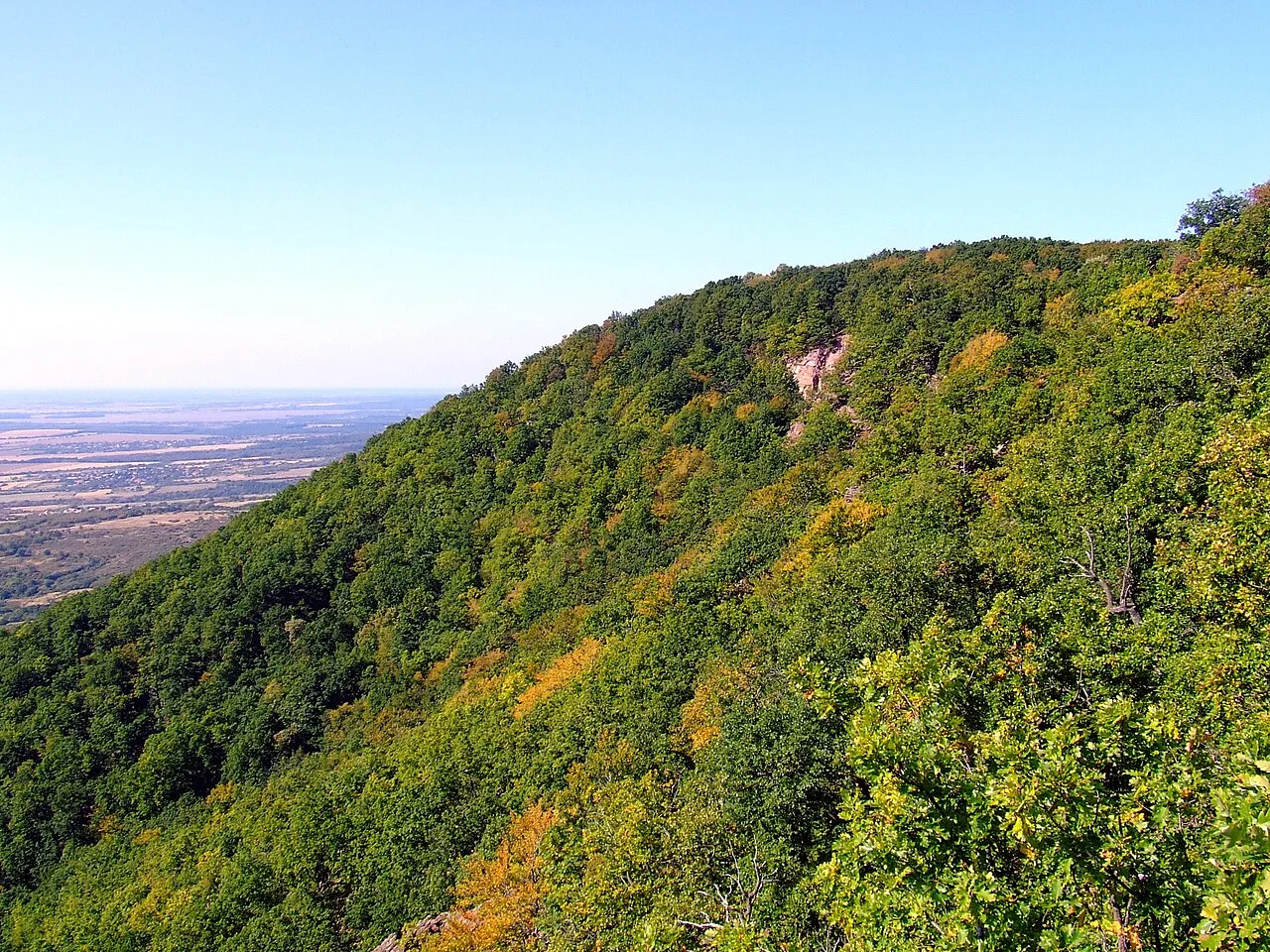
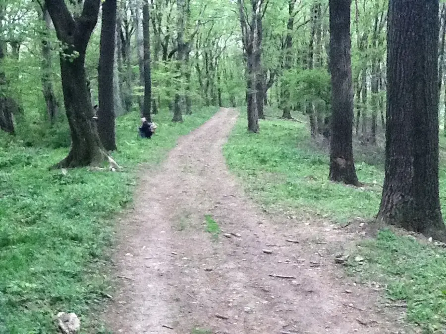
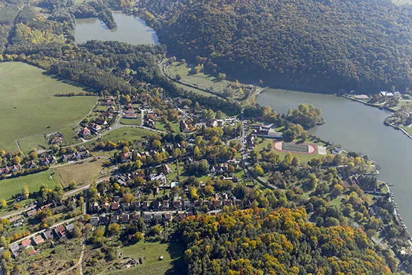
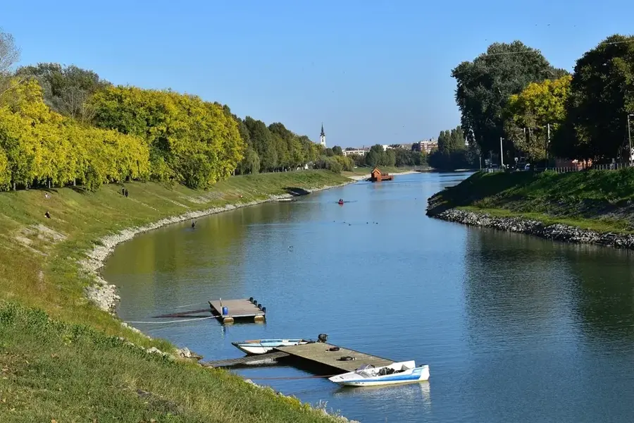
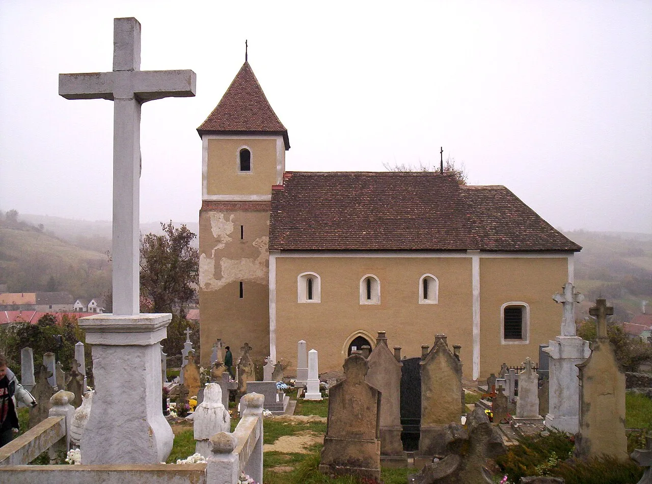
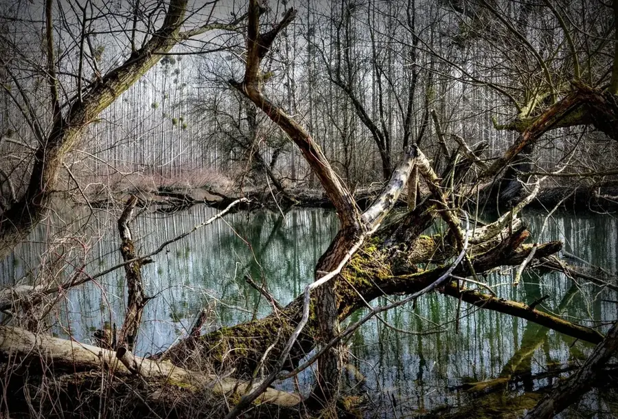
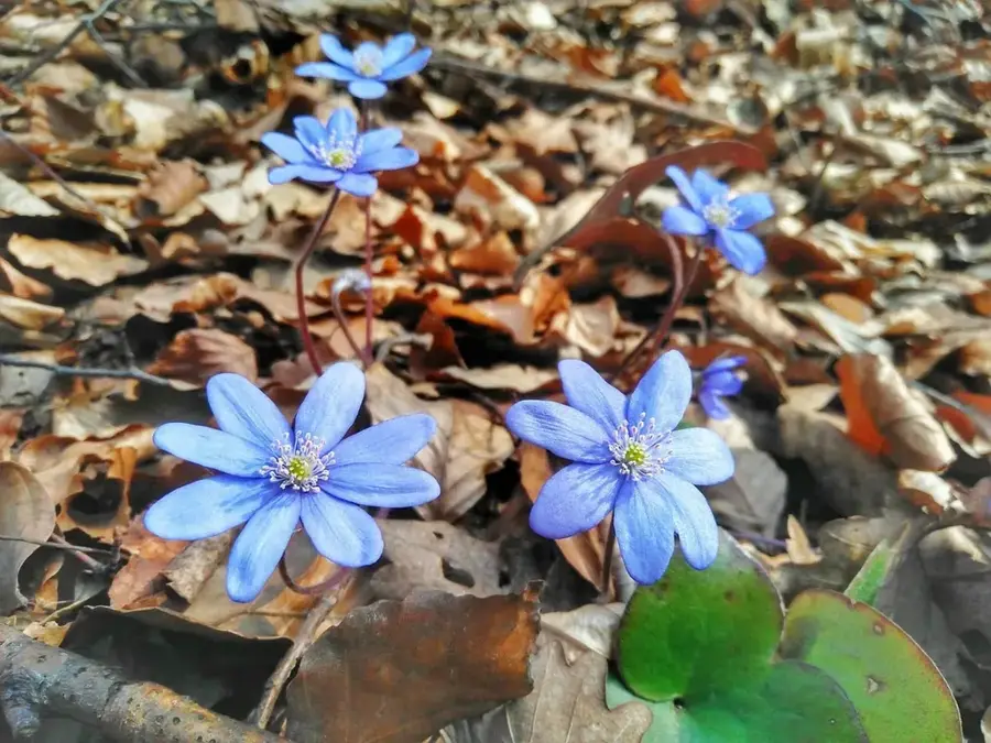
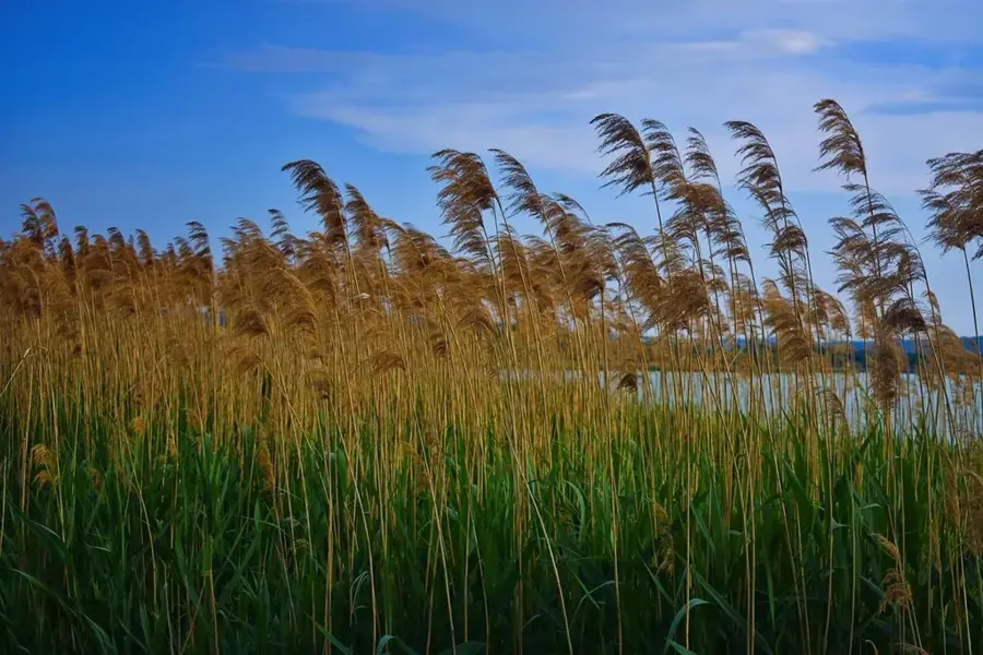
Zengo is the highest peak of the Mecsek Mountains in southern Hungary, rising to 682 meters near the town of Pecsvarad. The mountain is primarily famous for its extraordinary botanical significance, as it is home to a large part of the world population of the rare Banat peony (Paeonia officinalis ssp. banatica). Geologically, the mountain is mainly composed of Jurassic limestone, and its steep slopes are covered by dense beech forests. At the summit, the ruins of a medieval castle and a seven-story modern lookout tower completed in 2020 can be found, offering views as far as the Papuk Mountains in Croatia on clear days. In the early 2000s, Zengo gained national fame due to successful civil protests against a planned NATO radar station, which prevented damage to the protected nature reserve. Numerous folk legends are associated with the mountain, particularly regarding the 'booming' sound from which it takes its name, traditionally attributed to trapped treasure hunters.
- Location: Hungary
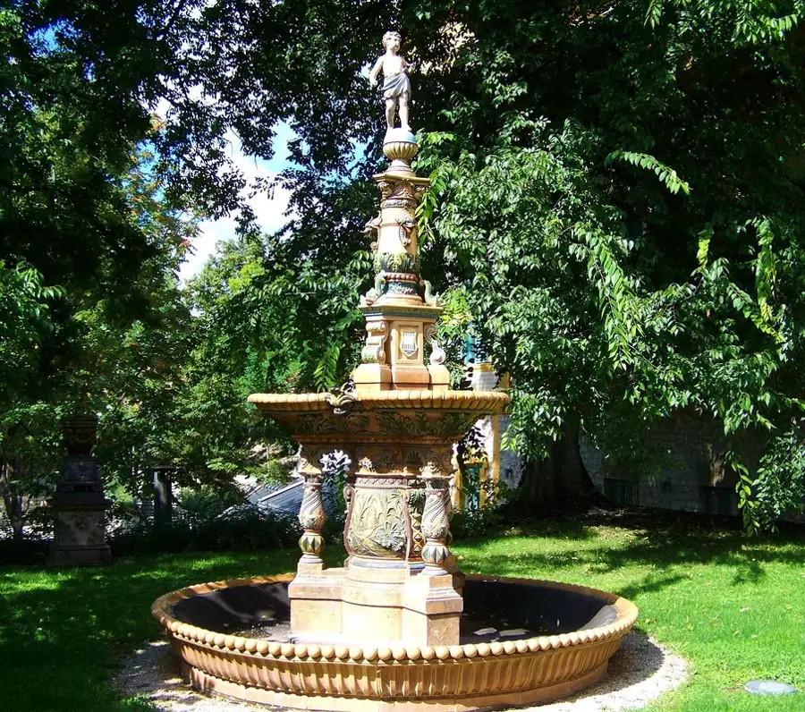
- Top sights: Szalma-kincstár · Nagypalli Pince-Galéria · Berta János fafaragó kiállítása
- Nearby: Tamási (53 km)
Best time to visit & climate
The most pleasant time to visit is Jun, Aug, Sep.
| Jan | Feb | Mar | Apr | May | Jun | Jul | Aug | Sep | Oct | Nov | Dec | |
|---|---|---|---|---|---|---|---|---|---|---|---|---|
| Avg °C | 0 | 2 | 6 | 12 | 17 | 22 | 24 | 24 | 18 | 12 | 6 | 1 |
| Rain mm | 41 | 46 | 43 | 42 | 75 | 76 | 61 | 58 | 62 | 56 | 47 | 46 |
📋 Practical info
Geography
Facts
- At 682 meters, Zengo is the highest point of the Mecsek Mountains.
- About 90 percent of the world's Banat peony population grows on this hill.
- The modern lookout tower at the summit was officially opened in July 2020.
- The summit features the ruins of a small castle dating back to the 13th century.
- The NATO radar construction project was officially canceled in 2005.
- The name 'Zengo' translates to 'Resonant' or 'Booming' in English.
Explore nearby
Notable places around
Route planner — Car & Motorhome
Where do you start? We build the route here, with stops and country notes along the way.
© OpenStreetMap contributors · OpenRouteService
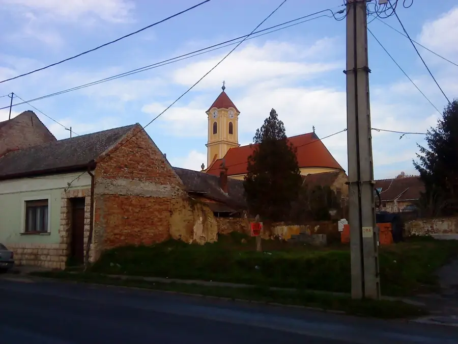
Sights in the town Zengő (5)
Nagypalli Pince-Galéria🏛 museum
Wine cellar gallery in Zengő displaying local art and wines.
Sights nearby
Frequently asked questions
How high is Zengő?
Where is the best place to start the hike?
Is there a lookout tower on the summit?
What rare plant grows here?
Is the hike difficult?
Zengő: where is it located?
Zengő: what is there to see?
Zengő: when is the best time to visit?
Zengő: why is it worth visiting?

Nearby cities

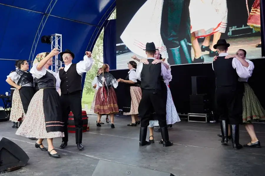
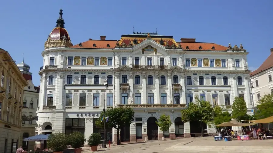

History & landmarks

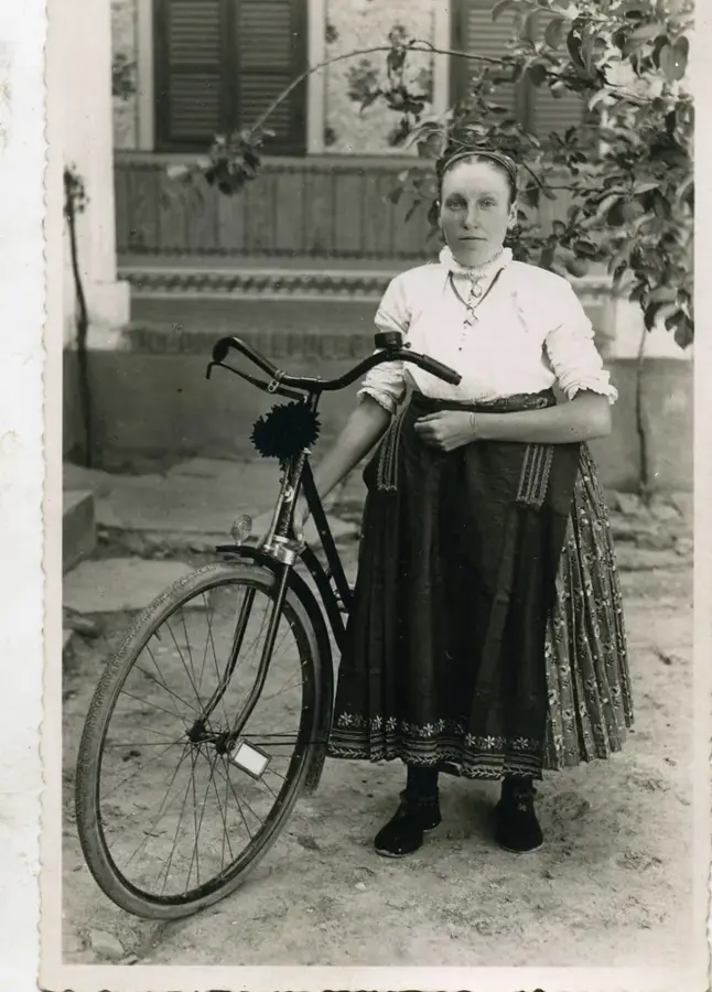
Nature
More places