Plizio Visual Lab
Kapos River

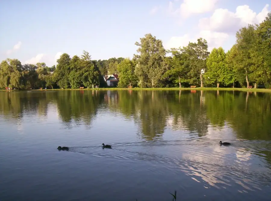
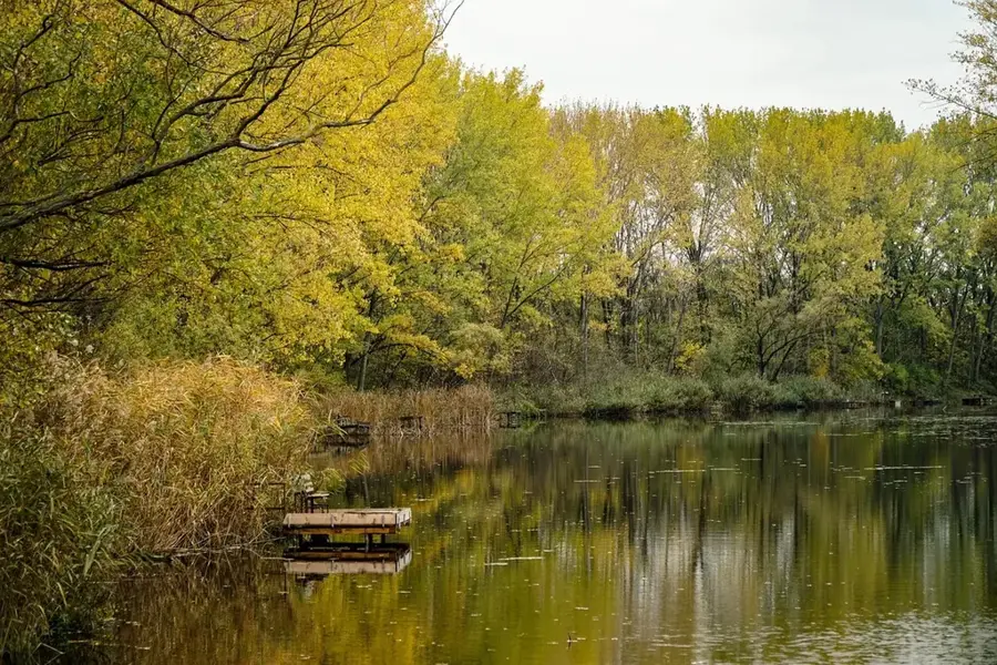
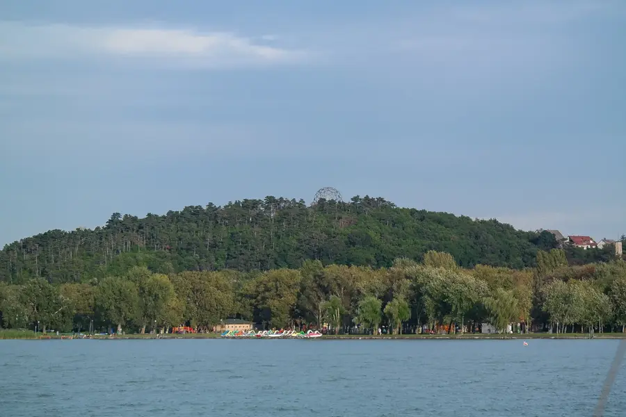
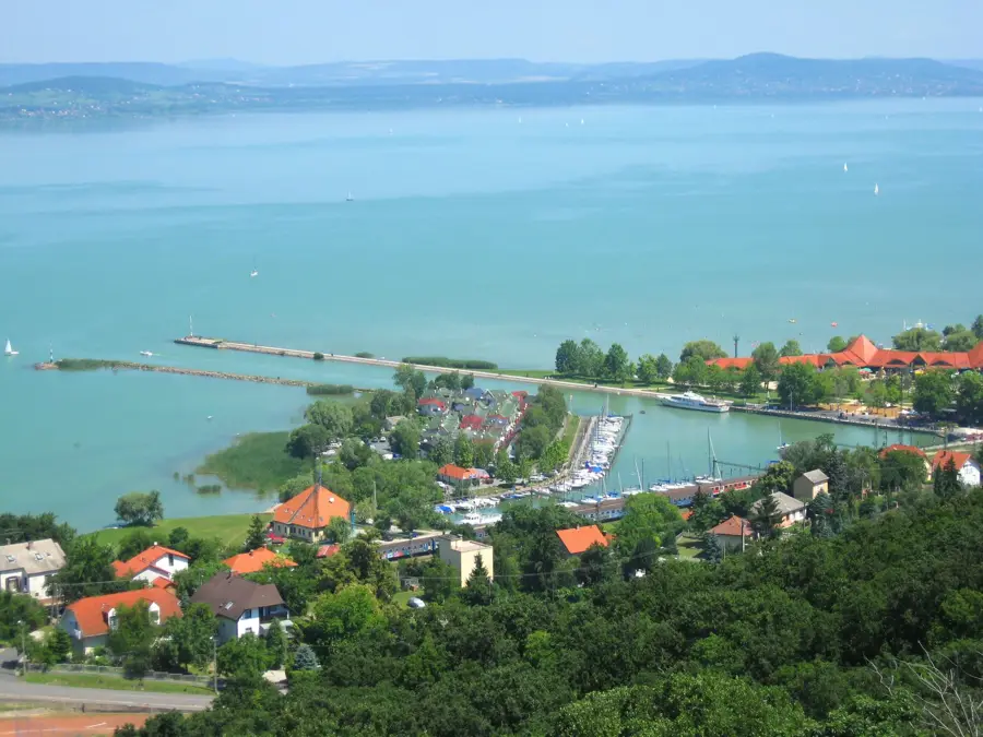
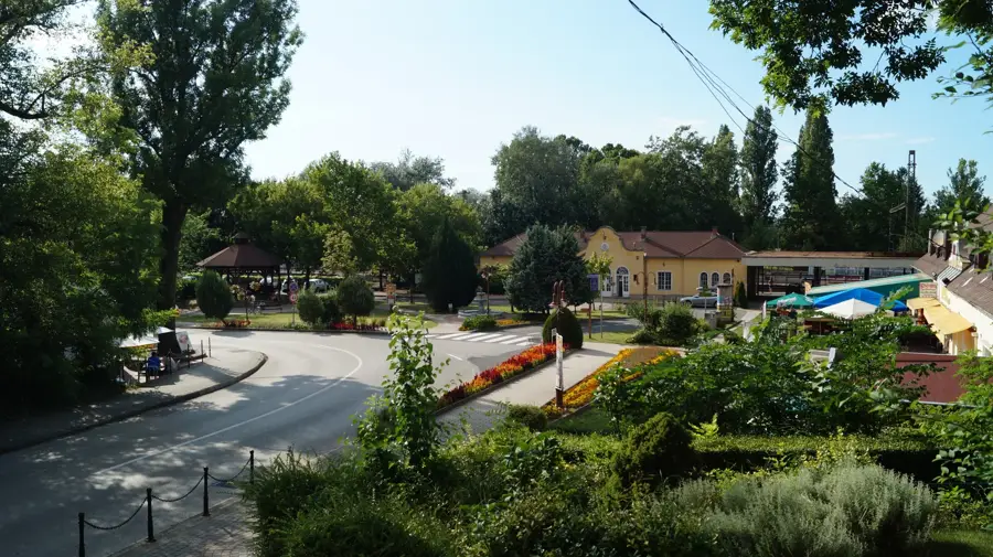
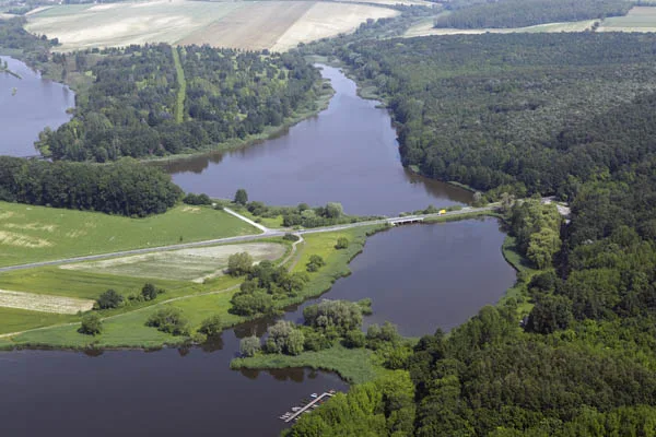
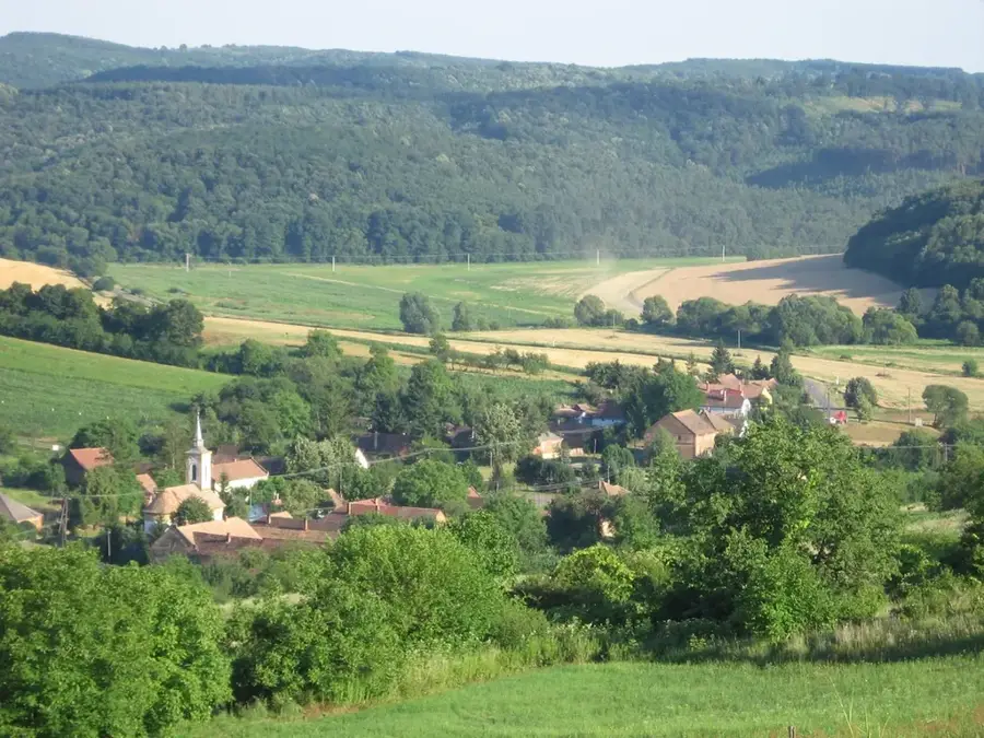
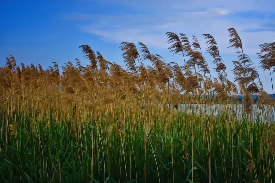
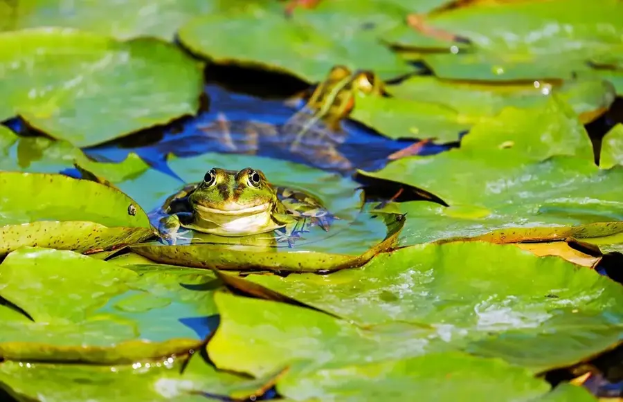
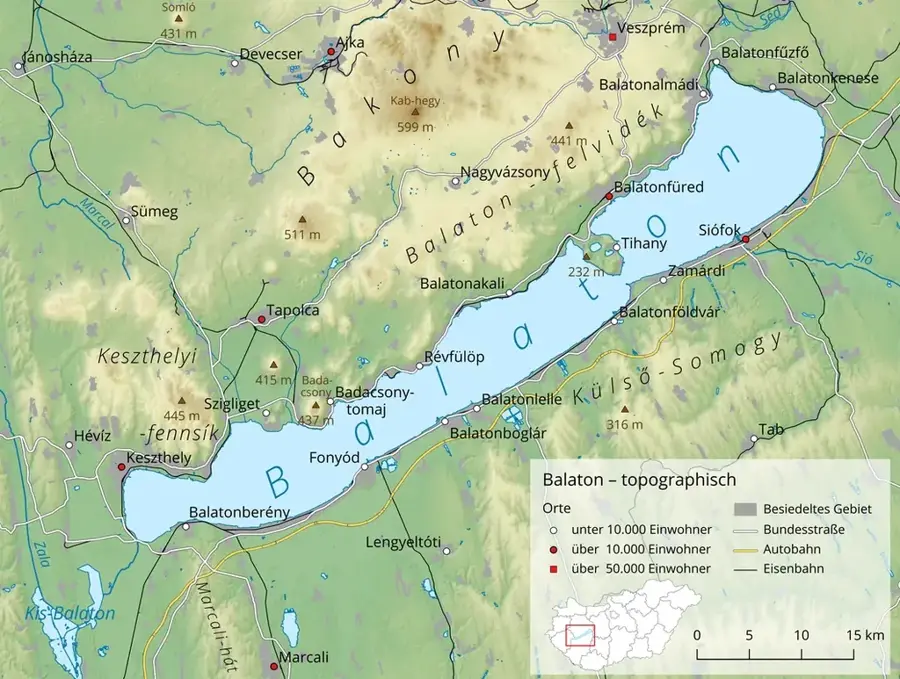
The Kapos is a significant river in southwestern Hungary, flowing for approximately 113 kilometers through Somogy and Tolna counties. It originates in the Somogy Hills and discharges into the Sio River near Tolnanemedi, with a total drainage basin of 3170 square kilometers. The river was historically crucial for the growth of Kaposvar, as its valley was originally a vast marshland before extensive regulation works in the 19th and 20th centuries. Today, the Kapos functions as a vital ecological corridor, linking various habitats across the Transdanubian region. Its basin contains several artificial fishponds and wetlands that support diverse avian populations. Water quality is strictly monitored due to the surrounding agricultural land use and industrial activities in the urban centers along its path.
- Location: Hungary
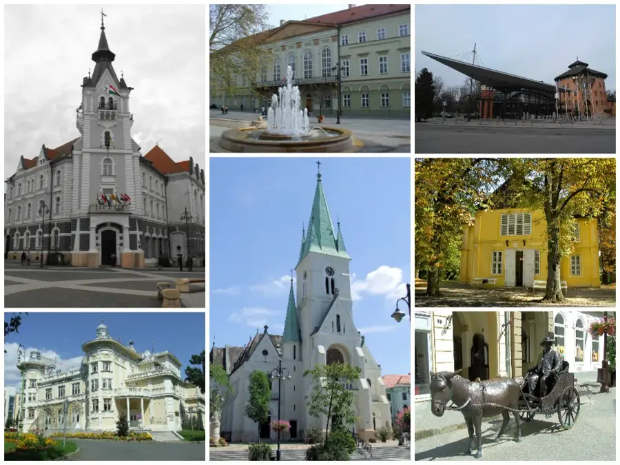
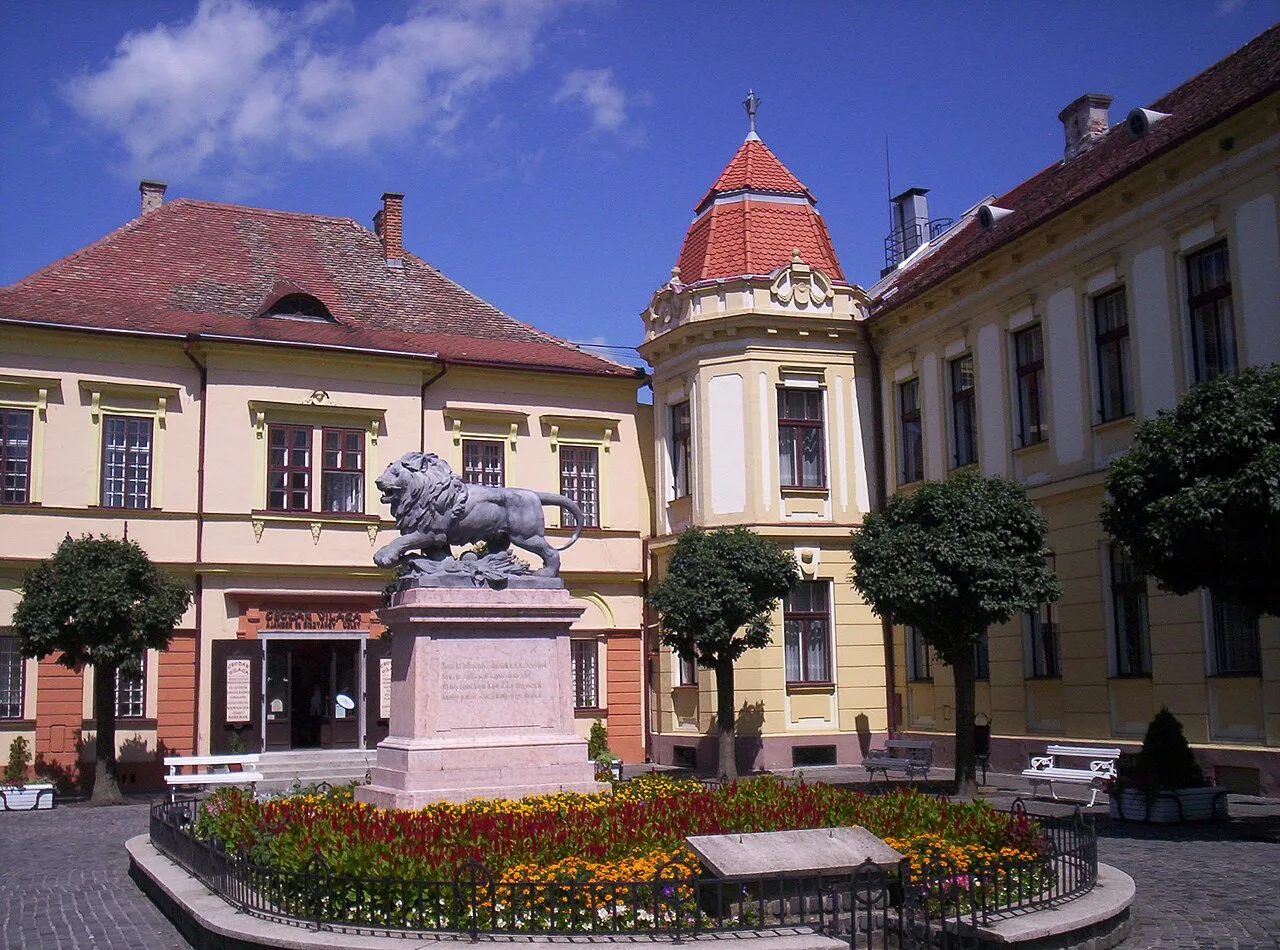
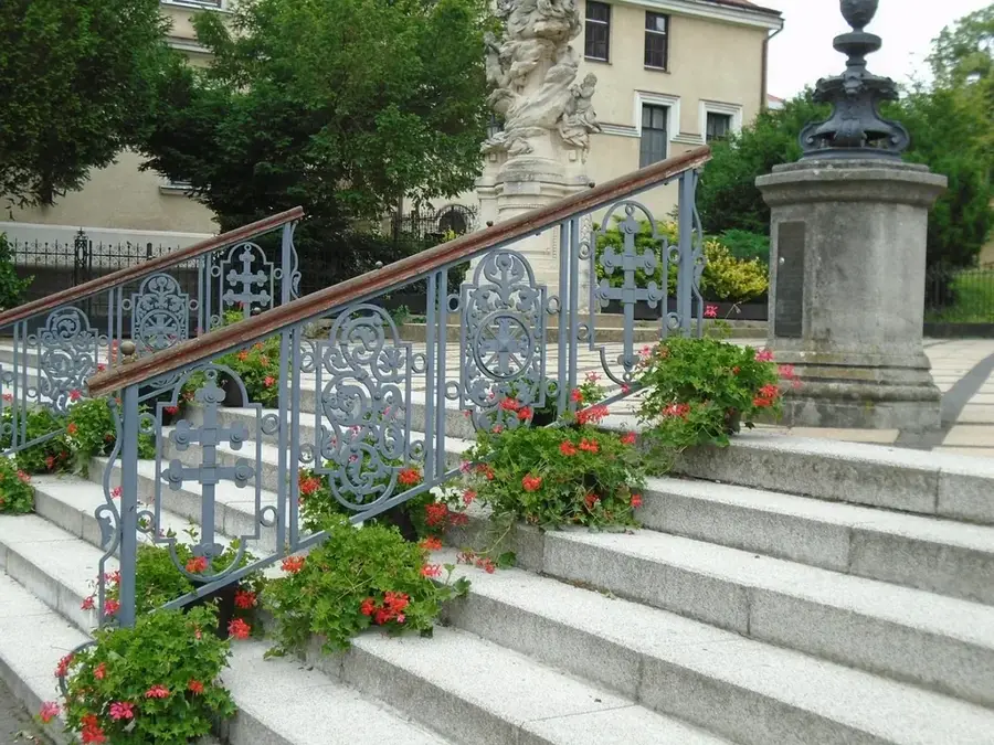
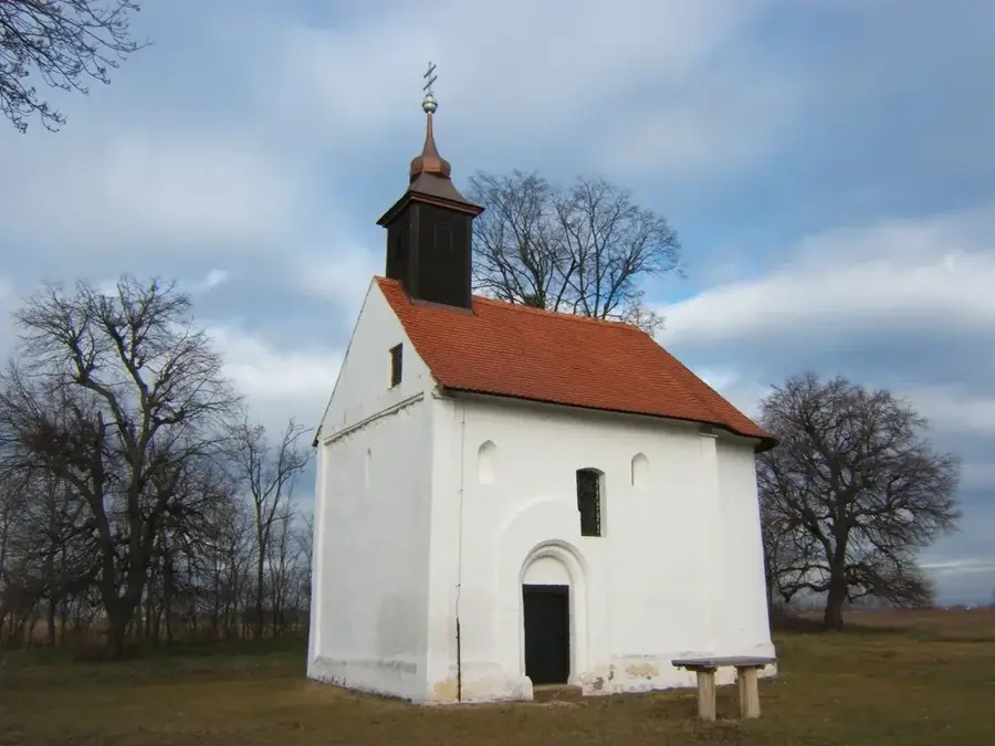
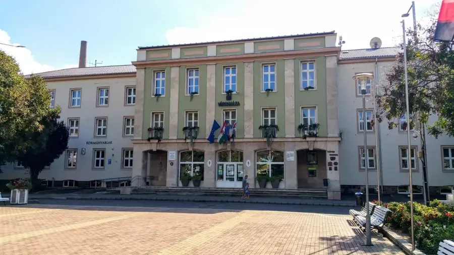
- Top sights: Festetics-kastély · Szentháromság-templom · madár megfigyelő
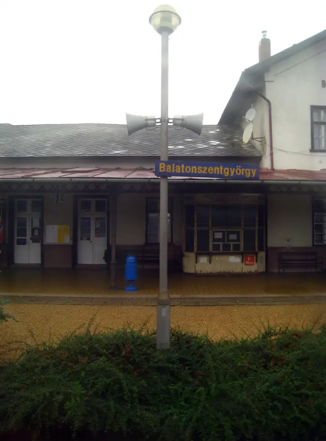
- Nearby: Tamási (42 km)
Best time to visit & climate
The most pleasant time to visit is Jun–Aug.
| Jan | Feb | Mar | Apr | May | Jun | Jul | Aug | Sep | Oct | Nov | Dec | |
|---|---|---|---|---|---|---|---|---|---|---|---|---|
| Avg °C | -1 | 1 | 6 | 12 | 16 | 21 | 23 | 23 | 17 | 11 | 6 | 0 |
| Rain mm | 38 | 45 | 43 | 38 | 70 | 71 | 63 | 63 | 68 | 57 | 46 | 46 |
📋 Practical info
Geography
Facts
- The total length of the river is 113 kilometers.
- Its drainage basin spans 3170 square kilometers.
- The Kapos joins the Sio River near Tolnanemedi.
- The city of Kaposvar is named after the river.
- Extensive river regulation was carried out in the 1800s.
- It flows through the counties of Somogy and Tolna.
Explore nearby
Notable places around
Route planner — Car & Motorhome
Where do you start? We build the route here, with stops and country notes along the way.
© OpenStreetMap contributors · OpenRouteService
Sights in the town Kapos River (4)
Sights nearby
Frequently asked questions
Where does the Kapos river flow?
Can you go canoeing on the Kapos?
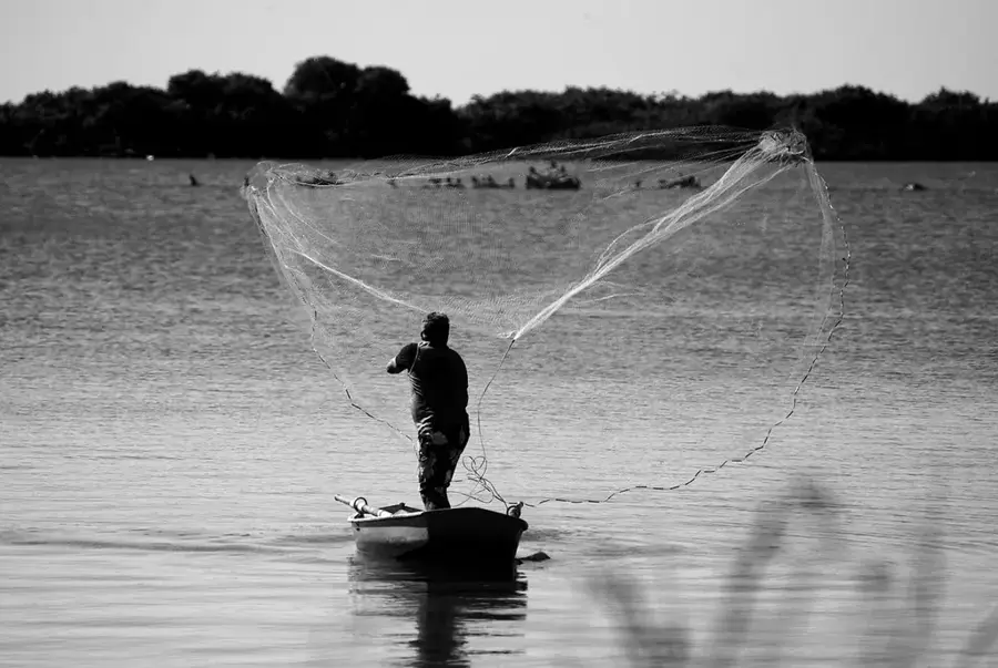
Is fishing allowed in the river?
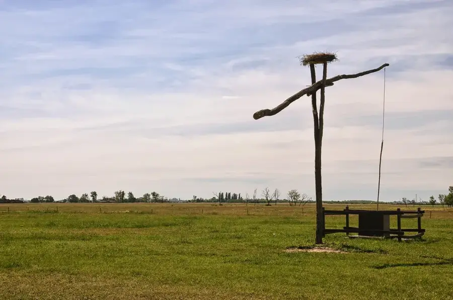
Which birds live along the riverbank?
Are there bike paths along the river?
Kapos River: where is it located?
Kapos River: what is there to see?
Kapos River: when is the best time to visit?
Kapos River: why is it worth visiting?

Nearby cities
History & landmarks
Nature
More places