Plizio Visual Lab
Upper Takutu Forest
Weather…
Water temperature…
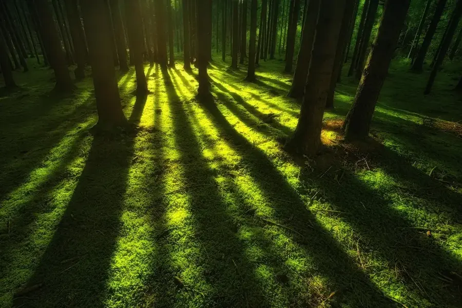
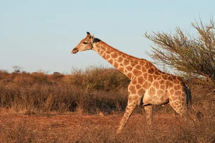
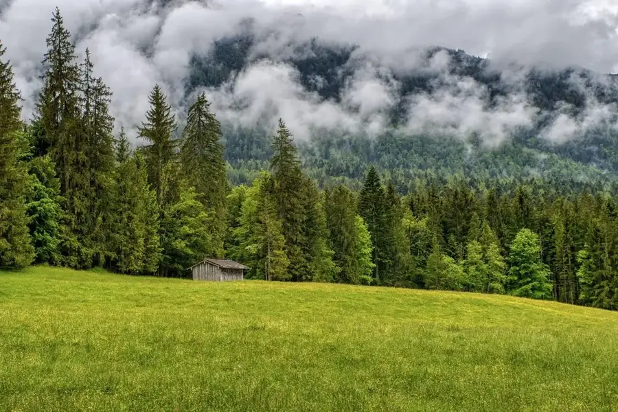
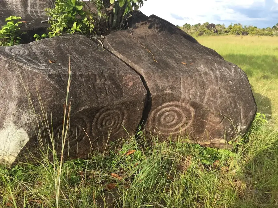
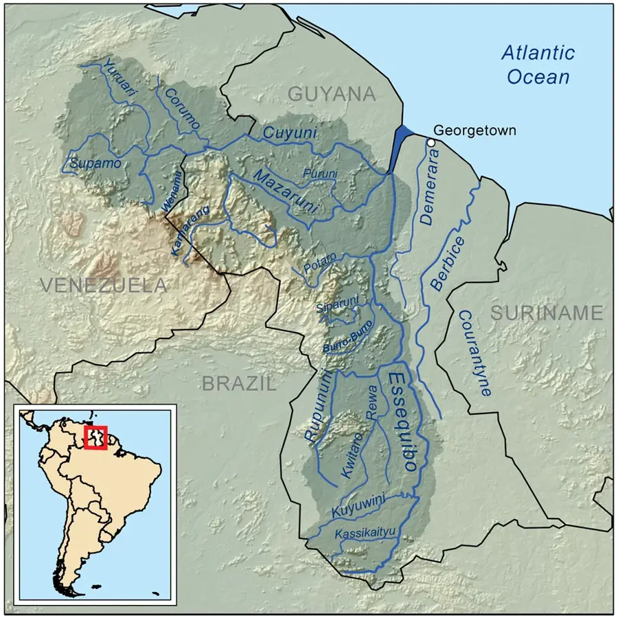
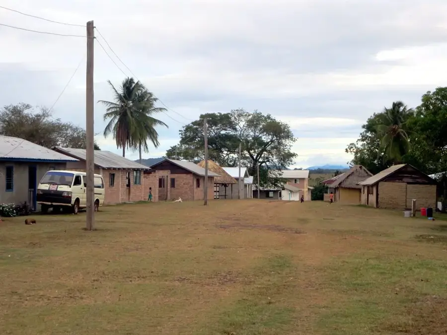
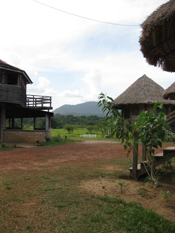
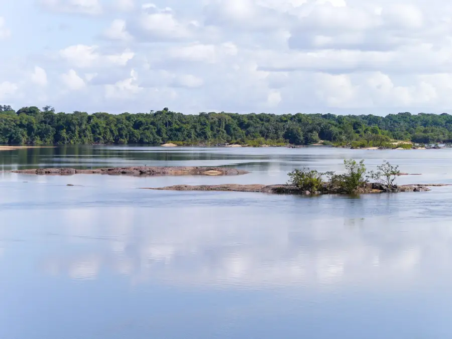
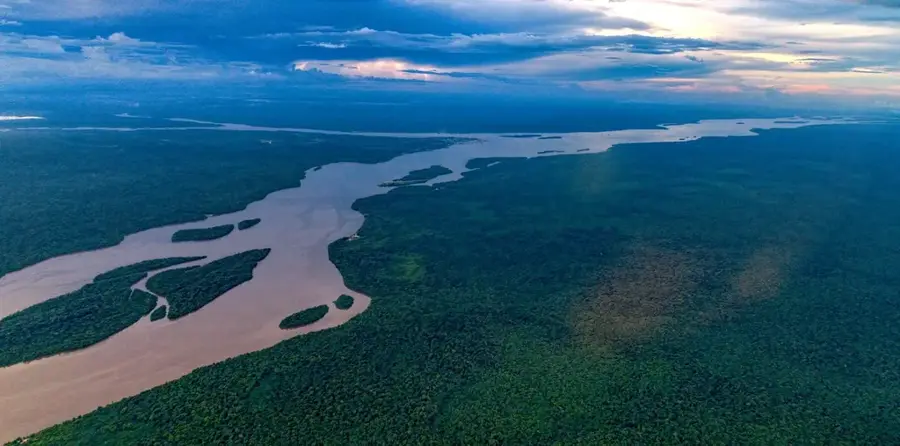
The Upper Takutu Forest in southwestern Guyana is an integral part of the pristine Amazon basin and directly borders Brazil. This region is characterized by dense tropical rainforests and gallery forests along the Takutu River, hosting immense biological diversity. The area is largely uninhabited except for small indigenous communities that have preserved their traditional way of life. Geographically, the forest forms a transition between the Rupununi Savannas and the dense jungle of the Amazon. The flora includes giant mahogany and greenheart trees, while the fauna is represented by jaguars, anacondas, and hundreds of bird species. Historically, the region was an important point for cultural exchange between indigenous peoples on both sides of today's border. Due to its remoteness, the forest is largely protected from large-scale deforestation but faces potential pressure from mining and road construction. Preserving this corridor is crucial for the genetic exchange of wildlife populations across South America.
- Location: Guyana
- Nearby: Aishalton (35 km)
Best time to visit & climate
The most pleasant time to visit is Jan, Nov, Dec.
| Jan | Feb | Mar | Apr | May | Jun | Jul | Aug | Sep | Oct | Nov | Dec | |
|---|---|---|---|---|---|---|---|---|---|---|---|---|
| Avg °C | 27 | 28 | 28 | 27 | 26 | 25 | 25 | 25 | 26 | 27 | 28 | 27 |
| Rain mm | 36 | 46 | 61 | 136 | 283 | 269 | 233 | 160 | 80 | 56 | 46 | 48 |
📋 Practical info
Geography
Facts
- The Takutu River forms the border between Guyana and Brazil.
- The region administratively belongs to the Upper Takutu-Upper Essequibo region.
- Greenheart trees (Chlorocardium rodiei) are native to this forest.
- The forest serves as an important carbon sink for the region.
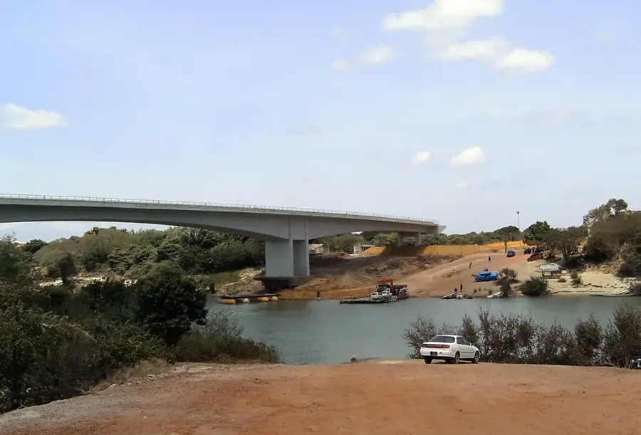
- The Takutu Bridge (opened in 2009) connects the region to Brazil.
- Rare harpy eagle nests have been documented in this area.
Explore nearby
Notable places around
Route planner — Car & Motorhome
Where do you start? We build the route here, with stops and country notes along the way.
© OpenStreetMap contributors · OpenRouteService
Sights nearby
Frequently asked questions
What is the vegetation like in the Upper-Takutu forest?
Which rivers cross the forest?
Are encounters with indigenous people possible?
What is the best way to travel through the forest?
What should be done against mosquitoes?
Upper Takutu Forest: where is it located?
Upper Takutu Forest: when is the best time to visit?
Upper Takutu Forest: why is it worth visiting?

Nearby cities

History & landmarks
Nature
More places