Plizio Visual Lab
Ireng River

Weather…
Water temperature…
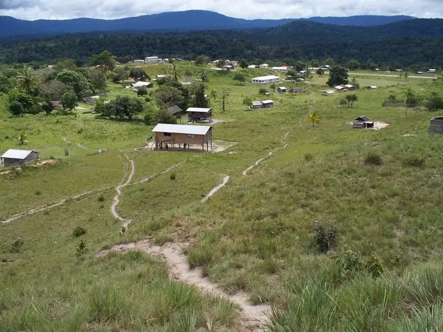
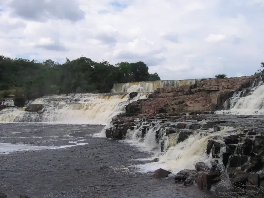
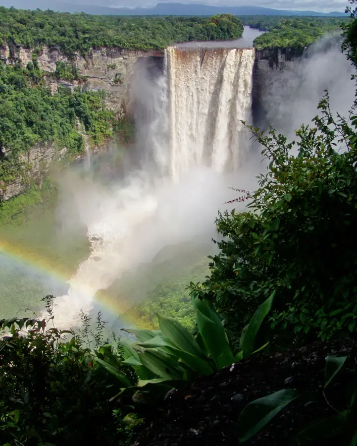
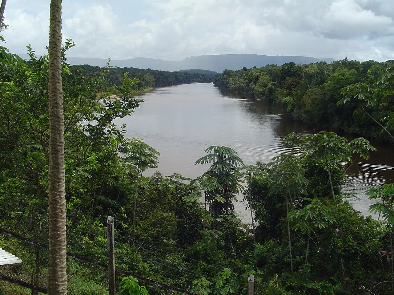
The Ireng River is a scenic waterway in southwestern Guyana that forms a significant portion of the international border with Brazil. Originating in the Pakaraima Mountains, it is noted for its dark, tannin-stained water, often described as 'tea-colored'. The river's most iconic feature is the Orinduik Falls, where it cascades over multiple tiers of red jasper rock, creating a series of natural whirlpools and swimming areas. The Ireng eventually flows into the Takutu River, forming part of the broader Amazon River system. The surrounding region is the ancestral home of the Patamona indigenous people, who inhabit the high savanna and mountain slopes. The landscape here is distinct from Guyana's coastal plains, characterized by rolling grasslands and ancient geological formations. The Ireng River is not only a vital boundary and resource but also a major destination for eco-tourists seeking the rugged beauty of the Guyanese interior.
- Location: Guyana
- Top sights: Lago Caracaranã · Lagoa Caracaranã
- Nearby: Kato (42 km)
Best time to visit & climate
The most pleasant time to visit is Jan, Feb, Dec.
| Jan | Feb | Mar | Apr | May | Jun | Jul | Aug | Sep | Oct | Nov | Dec | |
|---|---|---|---|---|---|---|---|---|---|---|---|---|
| Avg °C | 28 | 28 | 29 | 28 | 26 | 25 | 25 | 25 | 27 | 28 | 28 | 28 |
| Rain mm | 30 | 29 | 29 | 103 | 244 | 269 | 234 | 185 | 82 | 64 | 61 | 45 |
📋 Practical info
Geography
Facts
- Forms a natural border with Brazil
- Home to the multi-tiered Orinduik Falls
- Water is stained dark by dissolved tannins
- Bed consists partly of semi-precious jasper
- Tributary of the Takutu River
- Located in the highlands of the Pakaraimas
Explore nearby
Notable places around
Route planner — Car & Motorhome
Where do you start? We build the route here, with stops and country notes along the way.
© OpenStreetMap contributors · OpenRouteService
Sights in the town Ireng River (2)
Sights nearby
Frequently asked questions
What attraction is located on the Ireng River?
Is swimming allowed at the waterfalls?
What is special about the rock?
How do you get there?
Is this a border river?
Ireng River: where is it located?
Ireng River: what is there to see?
Ireng River: when is the best time to visit?
Ireng River: why is it worth visiting?

Nearby cities
History & landmarks
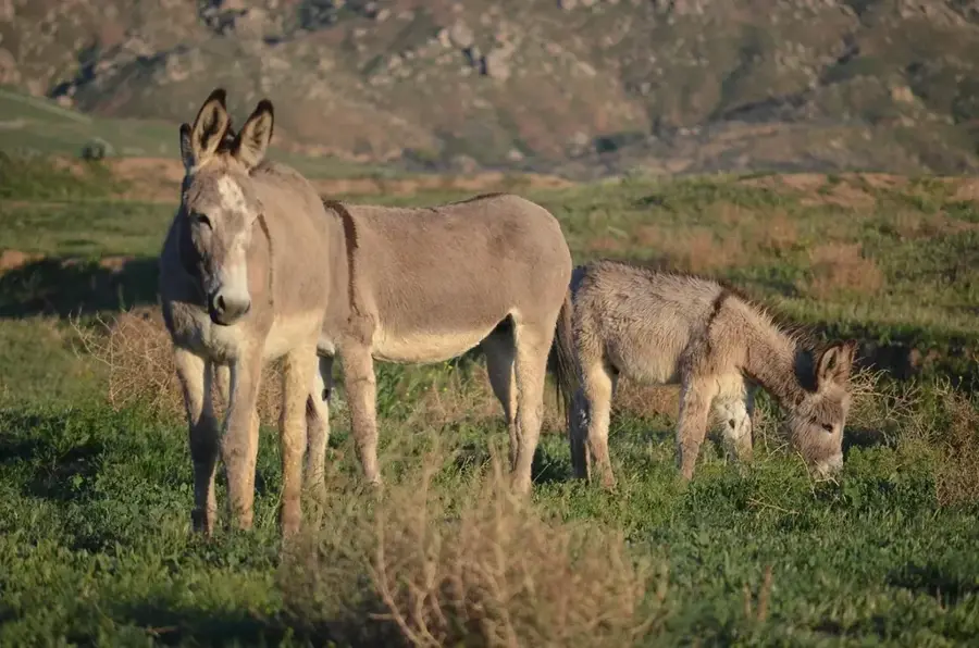
Nature
More places