Plizio Visual Lab
Mount Maringma

Weather…
Water temperature…
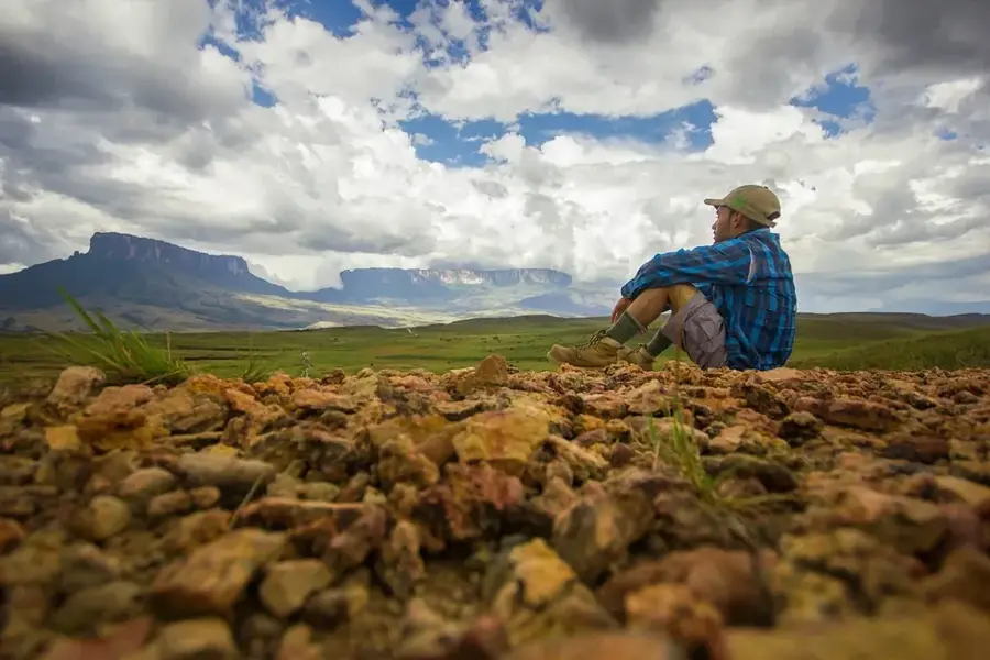
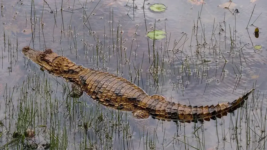
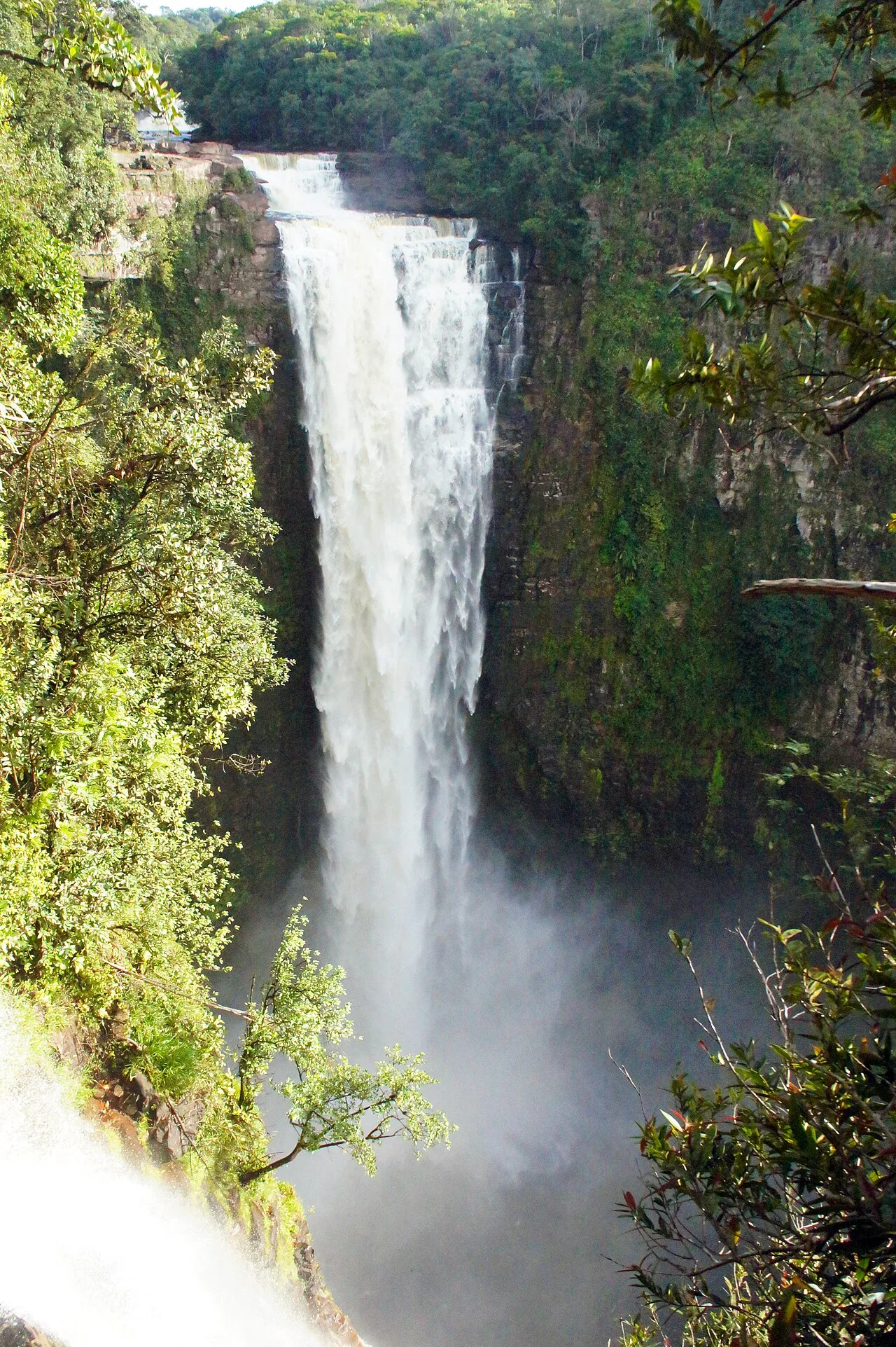
Mount Maringma is an impressive tepui on the border between Guyana and Brazil, reaching an elevation of 2,138 meters. This table mountain is part of the eastern Pakaraima Mountains and is distinguished by its isolated location and unique biological features. It was not until 2004 that the summit was comprehensively explored during a botanical expedition, leading to the discovery of numerous new species. The summit plateau is characterized by bizarre rock formations, marshlands, and vegetation adapted to nutrient-poor conditions, including carnivorous plants of the genus Heliamphora. Geologically, Maringma consists of the characteristic sandstones of the Roraima Supergroup, deposited billions of years ago. The mountain plays an important role as a watershed, feeding several streams that flow into the Essequibo basin. Its remoteness makes it one of the most pristine places in South America, being very difficult to access. For conservationists, Mount Maringma represents a valuable laboratory for studying evolution and climate change in isolated highland biomes.
- Location: Guyana
- Nearby: Kamrang (53 km)
Best time to visit & climate
The most pleasant time to visit is Jan–Mar.
| Jan | Feb | Mar | Apr | May | Jun | Jul | Aug | Sep | Oct | Nov | Dec | |
|---|---|---|---|---|---|---|---|---|---|---|---|---|
| Avg °C | 21 | 22 | 22 | 23 | 22 | 21 | 21 | 21 | 22 | 22 | 22 | 22 |
| Rain mm | 51 | 39 | 41 | 121 | 252 | 290 | 238 | 202 | 103 | 71 | 84 | 67 |
📋 Practical info
Geography
Facts
- The summit elevation of Mount Maringma is exactly 2,138 meters.
- The mountain was first intensively explored botanically in 2004.
- It is located directly on the international border between Guyana and Brazil.
- The rare carnivorous plant Heliamphora glabra grows on the plateau.
- Geologically, it belongs to one of the oldest surface formations on Earth.
- Humidity at the summit remains near 100% for most of the year.
Explore nearby
Notable places around
Route planner — Car & Motorhome
Where do you start? We build the route here, with stops and country notes along the way.
© OpenStreetMap contributors · OpenRouteService
Sights in the town Mount Maringma (1)
Sights nearby
Frequently asked questions
Where is Mount Maringma located?
How high is it?
What grows on the plateau?
Is the climb difficult?
Are there scientific stations?
Mount Maringma: where is it located?
Mount Maringma: when is the best time to visit?
Mount Maringma: why is it worth visiting?

Nearby cities
Nature
More places