Plizio Visual Lab
Mount Tulameng

Weather…
Water temperature…
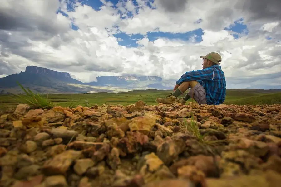
Mount Tulameng is a prominent elevation in western Guyana, belonging to the Pakaraima mountain range and reaching an altitude of approximately 1,535 meters. This mountain is geologically representative of the Guiana Highlands, consisting primarily of ancient sandstone and conglomerate rocks. The landscape is characterized by dense tropical montane forests that cover steep slopes and transition into cloud forests at higher elevations. Mount Tulameng plays an important role in the regional hydrological system, serving as a catchment area for several tributaries of the Mazaruni River. The flora of the region exhibits a high degree of endemism, with numerous orchids and ferns thriving only in this specific microclimate. For the indigenous Akawaio communities living in the surrounding valleys, Tulameng holds great cultural significance. The accessibility of the mountain is extremely limited due to dense vegetation and the lack of developed paths, which has preserved its natural integrity. Scientific research in this area often focuses on studying biodiversity and the geological history of the plateau.
- Location: Guyana
- Nearby: Kamrang (34 km)
Best time to visit & climate
The most pleasant time to visit is Jan–Mar.
| Jan | Feb | Mar | Apr | May | Jun | Jul | Aug | Sep | Oct | Nov | Dec | |
|---|---|---|---|---|---|---|---|---|---|---|---|---|
| Avg °C | 22 | 23 | 24 | 24 | 22 | 22 | 22 | 22 | 23 | 23 | 23 | 22 |
| Rain mm | 67 | 49 | 45 | 121 | 254 | 295 | 240 | 205 | 107 | 75 | 90 | 85 |
📋 Practical info
Geography
Facts
- The official summit elevation of Mount Tulameng is 1,535 meters.
- It belongs to the Pakaraima Group in western Guyana.
- The mountain consists predominantly of Precambrian sedimentary rocks.
- It is located within the catchment area of the Mazaruni River system.
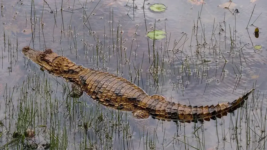
- Various rare bird species, such as the Guianan Cock-of-the-Rock, inhabit the region.
- Temperatures at the summit can drop below 15 degrees Celsius at night.
Explore nearby
Notable places around
Route planner — Car & Motorhome
Where do you start? We build the route here, with stops and country notes along the way.
© OpenStreetMap contributors · OpenRouteService
Sights nearby
Frequently asked questions
Where is Mount Tulameng located?
How high is Mount Tulameng?
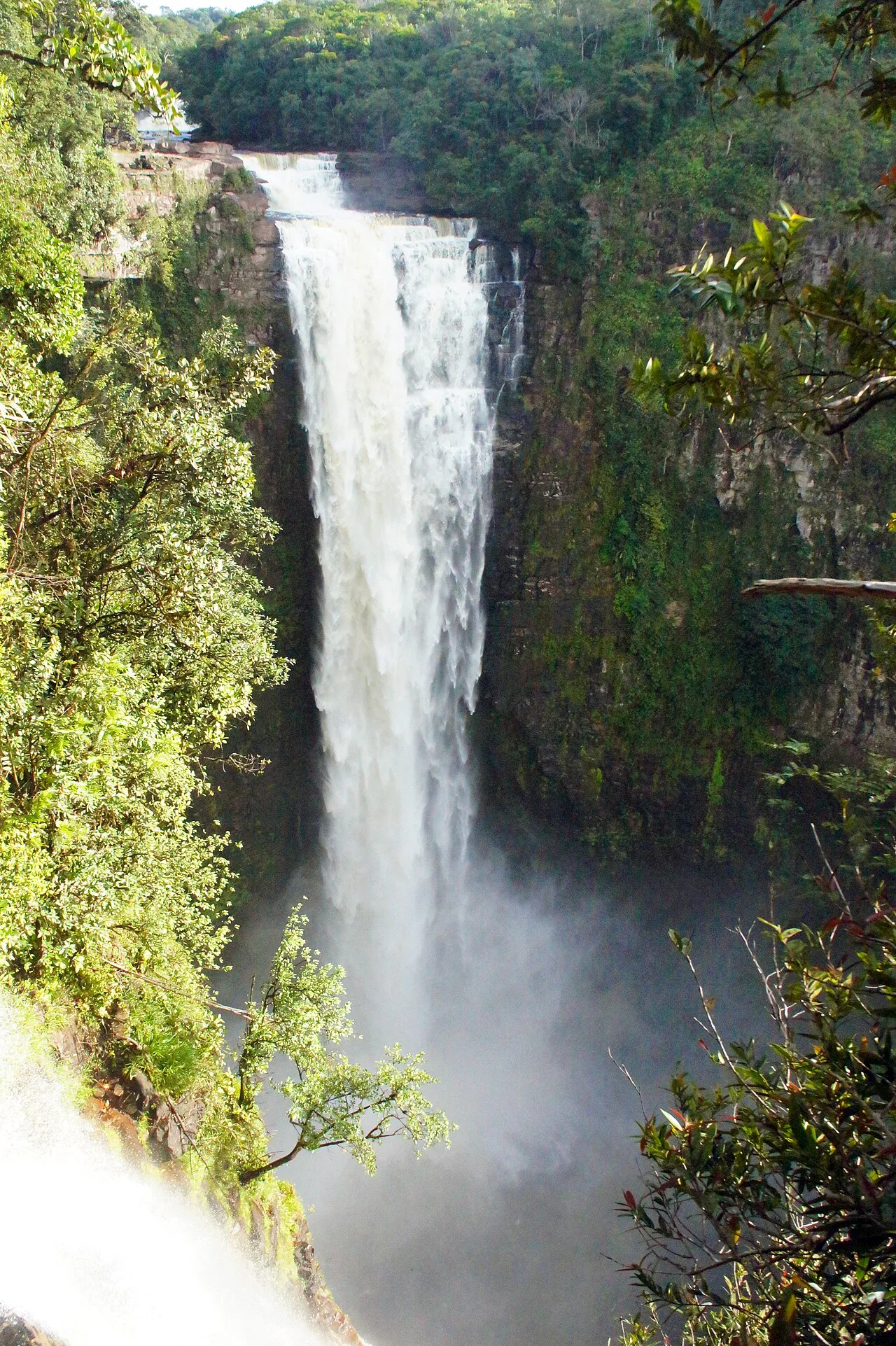
Are there waterfalls there?
What makes the mountain special?
Is a permit required?
Mount Tulameng: where is it located?
Mount Tulameng: when is the best time to visit?
Mount Tulameng: why is it worth visiting?

Nearby cities
Nature
More places