Plizio Visual Lab
Pakaraima Mountains

Weather…
Water temperature…
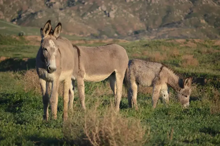
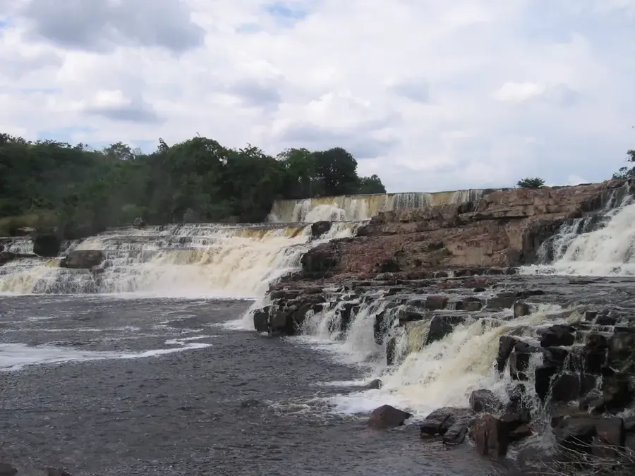
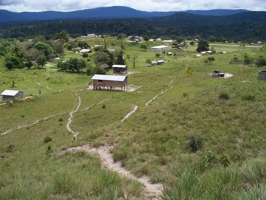
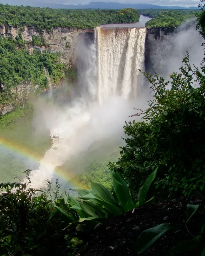
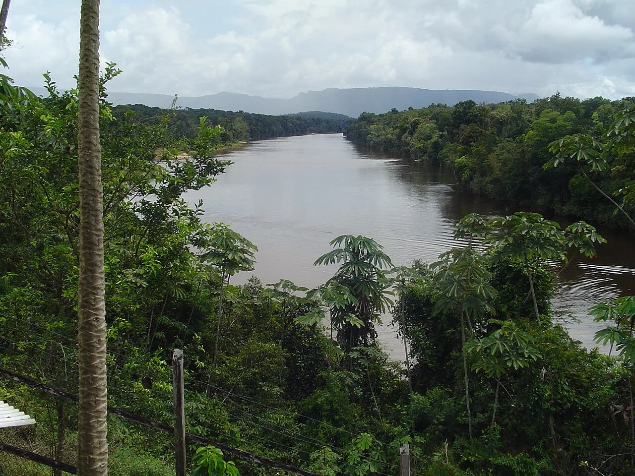
The Pakaraima Mountains are an expansive and rugged mountain range in western Guyana, stretching along the borders with Brazil and Venezuela. Characterized by massive sandstone plateaus and distinctive flat-topped mountains known as tepuis, the range includes the famous Mount Roraima, Guyana's highest point. Geologically, the Pakaraimas are part of the ancient Guiana Shield, with rock formations dating back more than two billion years. The range serves as a vital continental divide, with its runoff feeding major river systems including the Essequibo, Orinoco, and Amazon basins. The landscape is a mosaic of dense montane forests and high-altitude savannahs, supporting an extraordinary level of endemism in its biological species. The indigenous Patamona and Akawaio peoples are the traditional custodians of this land, viewing many of the peaks as sacred ancestral sites. While the region is known for its mineral wealth, particularly gold and diamonds, its extreme remoteness has preserved it as one of the most pristine wilderness areas in South America.
- Location: Guyana
- Nearby: Kamrang (21 km)
Best time to visit & climate
The most pleasant time to visit is Feb, Mar, Oct.
| Jan | Feb | Mar | Apr | May | Jun | Jul | Aug | Sep | Oct | Nov | Dec | |
|---|---|---|---|---|---|---|---|---|---|---|---|---|
| Avg °C | 23 | 23 | 24 | 24 | 23 | 22 | 22 | 23 | 23 | 24 | 24 | 23 |
| Rain mm | 111 | 78 | 63 | 129 | 264 | 287 | 243 | 193 | 93 | 74 | 100 | 123 |
📋 Practical info
Geography
Facts
- The Pakaraima range extends for approximately 800 kilometers (500 miles).
- Mount Roraima is the highest peak in the range at 2,810 meters.
- The mountains consist primarily of Precambrian sandstone plateau.
- The range forms a natural barrier between Guyana and Brazil.
- It is home to several spectacular waterfalls besides Kaieteur.
- The climate in the Pakaraimas is significantly cooler than the coastal plains.
Explore nearby
Notable places around
Route planner — Car & Motorhome
Where do you start? We build the route here, with stops and country notes along the way.
© OpenStreetMap contributors · OpenRouteService
Sights nearby
Frequently asked questions
How large are the Pakaraima Mountains?
What is the highest mountain in Guyana within this range?
What landscapes are found here?
Are the mountains inhabited?
How difficult is a trip there?
Pakaraima Mountains: where is it located?
Pakaraima Mountains: when is the best time to visit?
Pakaraima Mountains: why is it worth visiting?

Nearby cities
History & landmarks
Nature
More places