Plizio Visual Lab
Karuaimeng

ℹ️Practical info — Karuaimeng
▾
🌤 Weather — 5 days
📍 Nearby
Sights nearby
💡 Tips
- This is a remote community in the Guyanese interior; expect rugged travel conditions.
- Flights via small aircraft or long journeys on unpaved trails are the main ways to arrive.
- Always seek permission from local community leaders before exploring indigenous lands.
- Pack high-quality insect repellent, lightweight long clothing, and a good first aid kit.
🍽 Food
A traditional, crisp flatbread staple of the Amerindian communities.
A rich meat stew made with cassareep, usually reserved for special occasions or offered in guesthouses.
Caught locally and typically grilled or roasted over an open fire.
🛍 Shopping · 🧘 Quiet spots
Beautiful woven baskets and beadwork made by local artisans.
The place to buy basic supplies and support the local village economy.
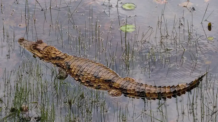
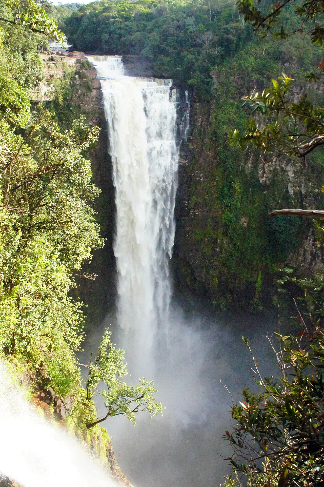
Immerse yourself in the profound silence and diverse sounds of the jungle.
Peaceful waterways well-suited for a quiet moment or a refreshing dip.
Water temperature…
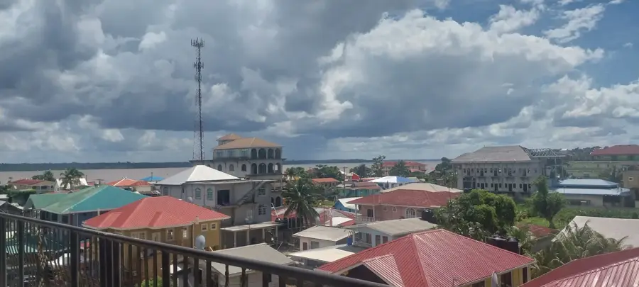
Karuaimeng is a remote indigenous settlement located in the Cuyuni-Mazaruni region of Guyana, deep within the country's western interior. Primarily home to the Akawaio people, the village is defined by its setting near the Mazaruni River and the rugged tropical terrain of the Pakaraima Mountains. Due to its extreme isolation, Karuaimeng is difficult to reach, with access usually limited to small rivercraft navigating the winding waterways or trekking via bush trails. The lifestyle in the village remains deeply traditional, with subsistence farming and small-scale alluvial gold mining providing the primary means of livelihood for its residents. The community maintains a profound connection to the surrounding environment, relying on forest resources for traditional building materials and medicinal plants. Efforts have increased in recent years to preserve the Akawaio language and cultural heritage while striving to improve local access to basic healthcare and primary education. The surrounding wilderness is an untouched ecosystem characterized by immense biodiversity.
- Location: Guyana
- Nearby: Kamrang (30 km)
Best time to visit & climate
The most pleasant time to visit is Feb, Mar, Oct.
| Jan | Feb | Mar | Apr | May | Jun | Jul | Aug | Sep | Oct | Nov | Dec | |
|---|---|---|---|---|---|---|---|---|---|---|---|---|
| Avg °C | 24 | 25 | 26 | 26 | 25 | 24 | 24 | 25 | 25 | 25 | 25 | 25 |
| Rain mm | 128 | 89 | 69 | 129 | 271 | 285 | 247 | 191 | 97 | 80 | 113 | 148 |
Geography
Facts
- Part of the Akawaio indigenous group
- Located in Region 7 (Cuyuni-Mazaruni)
- Situated in the Pakaraima Mountains region
- Economy relies on subsistence farming and mining
- Accessible only via river routes or bush trails
- Focus area for the preservation of Akawaio culture
Explore nearby
Notable places around
Route planner — Car & Motorhome
Where do you start? We build the route here, with stops and country notes along the way.
© OpenStreetMap contributors · OpenRouteService
Frequently asked questions
What is Karuaimeng?
Is it accessible to tourists?
What is the landscape like?
Is there internet there?
What should you bring?
Karuaimeng: where is it located?
Karuaimeng: when is the best time to visit?
Karuaimeng: why is it worth visiting?

Nearby cities
Nature
More places