Plizio Visual Lab
Cuyuni-Mazaruni Highlands

Weather…
Water temperature…
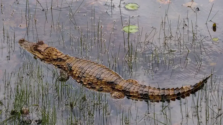
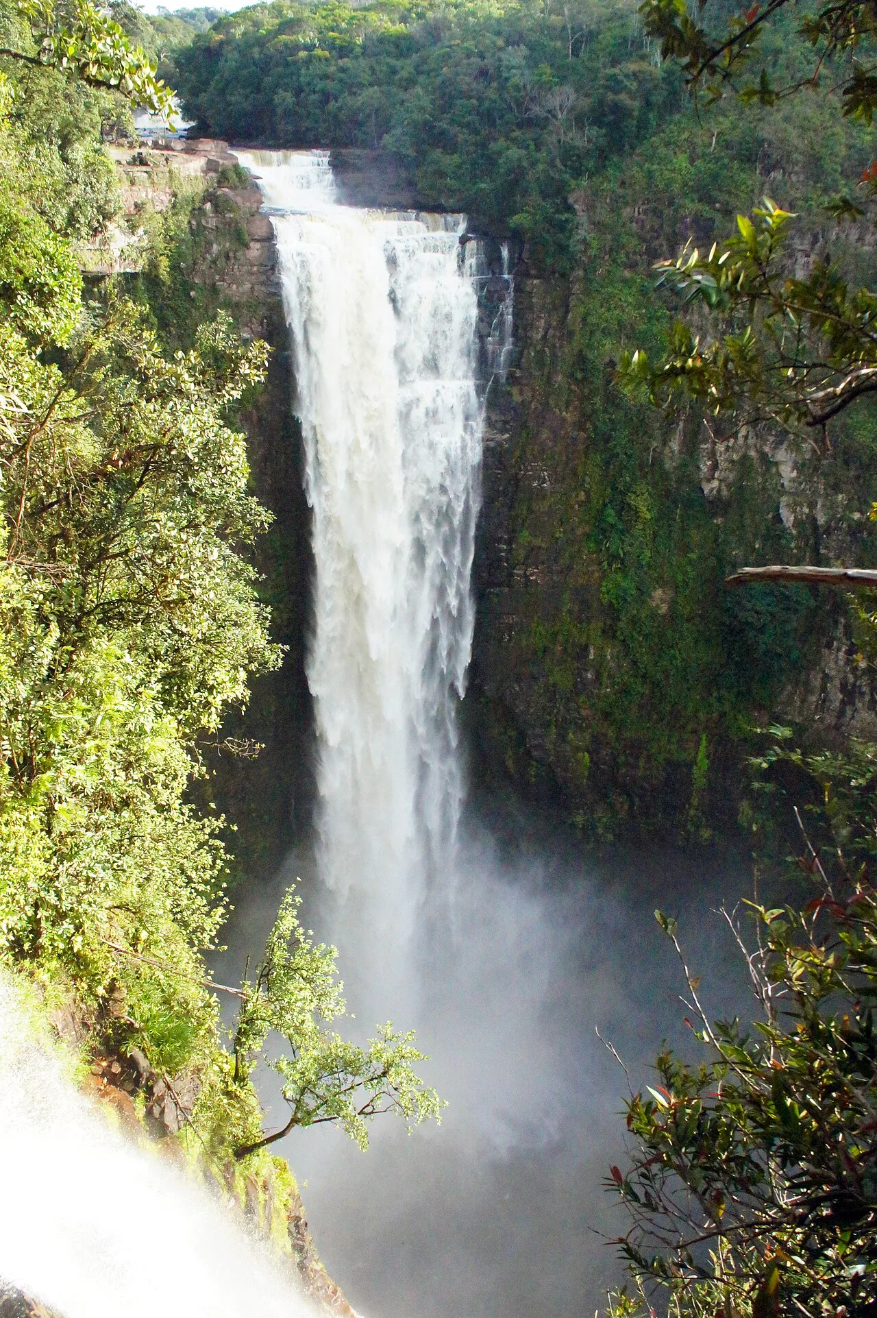
The Cuyuni-Mazaruni Highlands in western Guyana are part of the ancient Guiana Shield, one of the oldest geological formations on Earth. This rugged region is characterized by the Pakaraima Mountains and distinctive table-top mountains, known as tepuis, which rise from the dense rainforest. The plateau reaches considerable elevations and forms the watershed for the mighty Cuyuni and Mazaruni rivers. Due to its isolated location, unique ecosystems have developed here, hosting many endemic plant and animal species. Historically, the region gained significance through the discovery of rich gold and diamond deposits, leading to the establishment of remote mining settlements. The climate is cooler and more humid than in the lowlands, resulting in the formation of cloud forests at higher elevations. The scenic beauty with numerous waterfalls, including the famous Mount Roraima at the triple border with Brazil and Venezuela, makes the highlands a target for scientific expeditions. Despite its difficult accessibility, protecting this fragile mountain ecosystem in the face of mining activities is an urgent task.
- Location: Guyana
- Nearby: Kamrang (43 km)
Best time to visit & climate
The most pleasant time to visit is Jan–Mar.
| Jan | Feb | Mar | Apr | May | Jun | Jul | Aug | Sep | Oct | Nov | Dec | |
|---|---|---|---|---|---|---|---|---|---|---|---|---|
| Avg °C | 23 | 23 | 24 | 24 | 23 | 22 | 22 | 23 | 23 | 24 | 24 | 23 |
| Rain mm | 84 | 59 | 48 | 117 | 251 | 295 | 239 | 202 | 110 | 82 | 100 | 106 |
📋 Practical info
Geography
Facts
- The age of the Guiana Shield rocks is estimated to be over 2 billion years.
- Mount Roraima is the highest point in this area at 2,810 meters.
- The region covers an area of more than 47,000 square kilometers.
- Tepuis are often isolated 'islands' with a high number of endemic species.
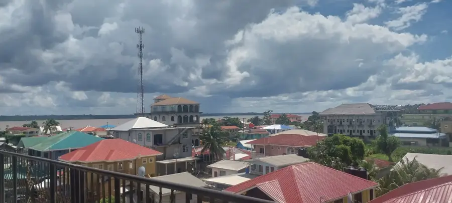
- The Cuyuni-Mazaruni region is the heart of the Guyanese mining sector.
- Numerous waterfalls, such as the Kumarau Falls, are located in these highlands.
Explore nearby
Notable places around
Route planner — Car & Motorhome
Where do you start? We build the route here, with stops and country notes along the way.
© OpenStreetMap contributors · OpenRouteService
Sights nearby
Frequently asked questions
What are the Cuyuni-Mazaruni Highlands?
How high are the mountains there?
Is the climate cooler than at the coast?
Are there waterfalls there?
How difficult is an expedition there?
Cuyuni-Mazaruni Highlands: where is it located?
Cuyuni-Mazaruni Highlands: when is the best time to visit?
Cuyuni-Mazaruni Highlands: why is it worth visiting?

Nearby cities
Nature
More places