Plizio Visual Lab
Cuyuni River

Weather…
Water temperature…
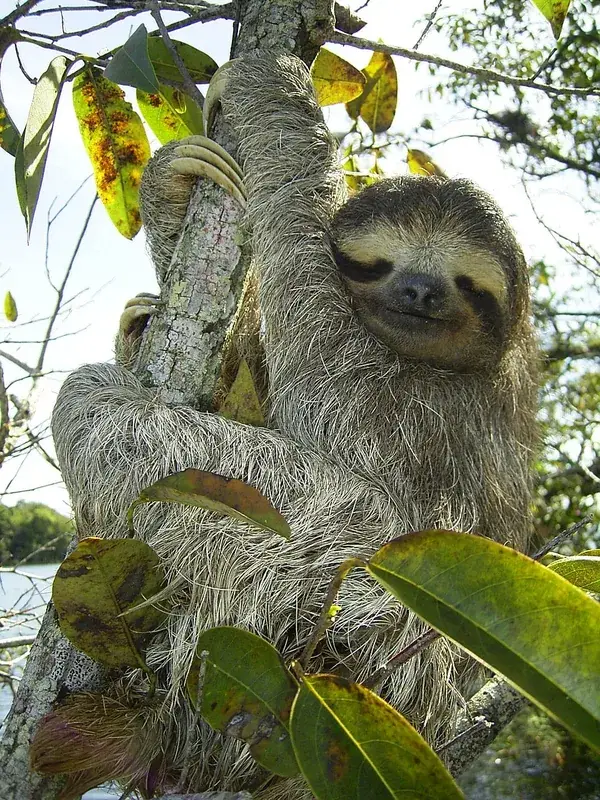
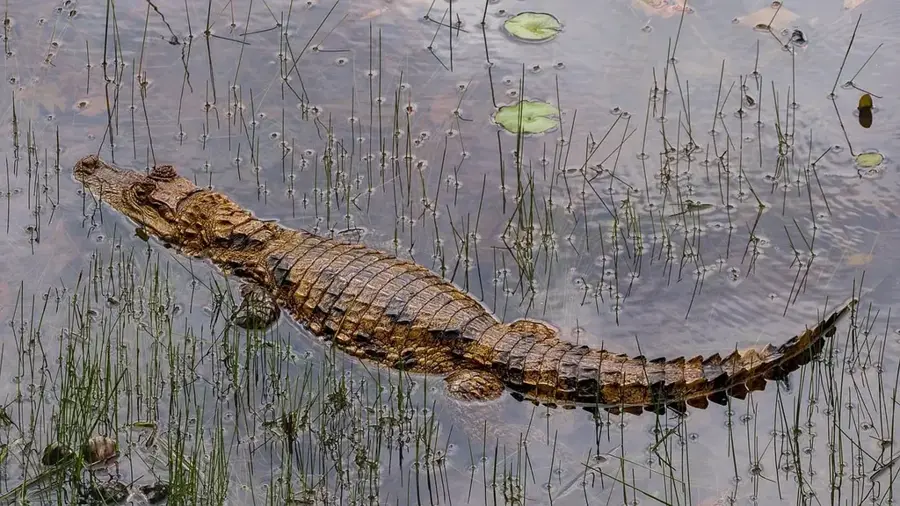
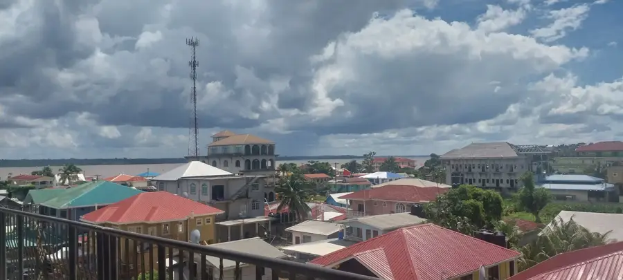
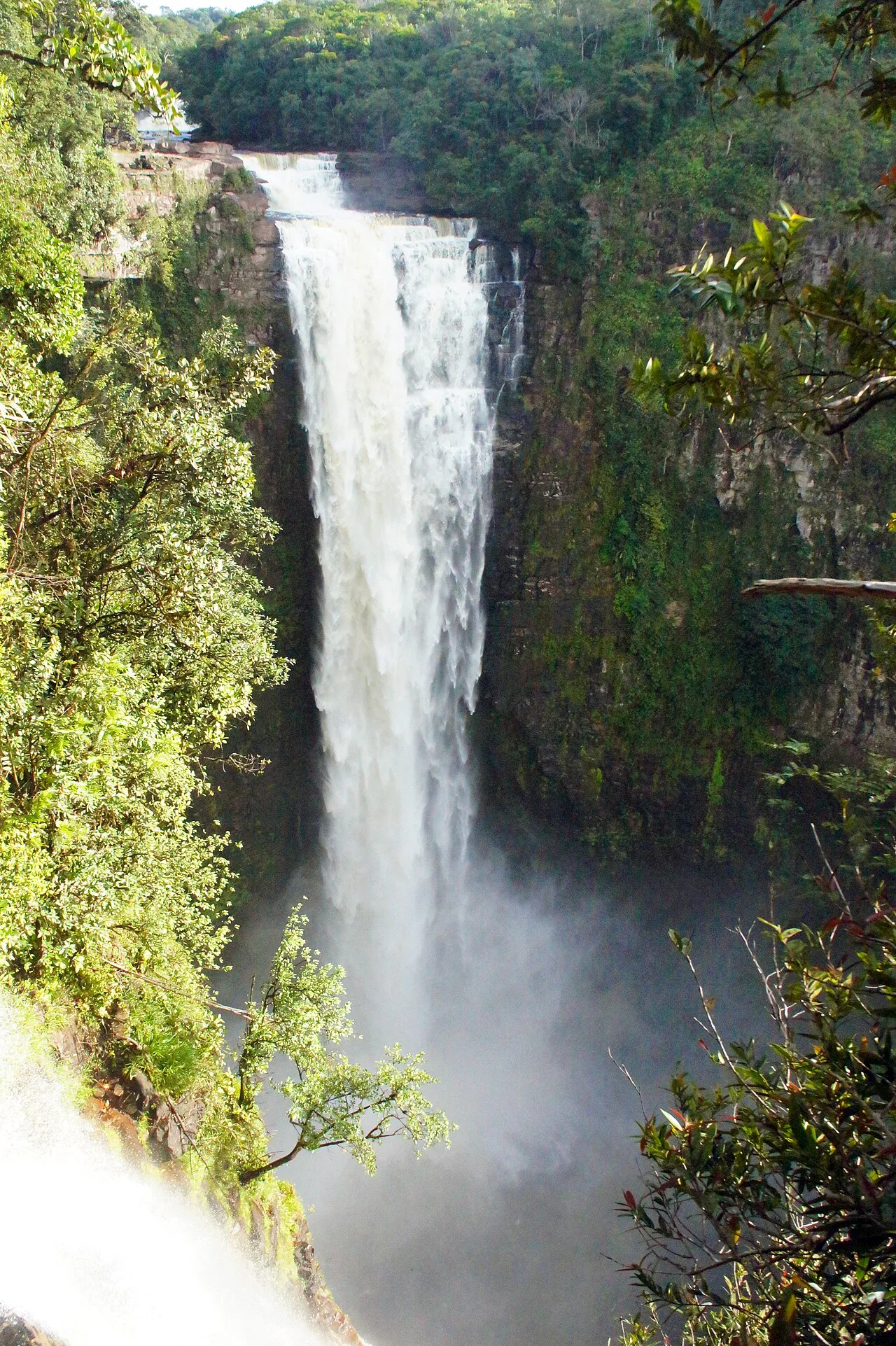
The Cuyuni River is a massive waterway that stretches approximately 612 kilometers from its source in the Guiana Highlands of Venezuela to its confluence with the Mazaruni River in Guyana. This river plays a critical role in the regional geography as it forms part of the international boundary between the two South American nations. Historically, the river gained international attention during the late 19th century due to the Schomburgk Line and the subsequent territorial disputes over the gold-rich regions it traverses. The surrounding basin is a hub for gold mining activities, which have significantly influenced the local economy and settlement patterns over the decades. Beyond its economic value, the Cuyuni is home to diverse aquatic species and supports the lush tropical rainforests that line its banks. The river's flow is interrupted by numerous rapids and falls, making navigation challenging for large vessels but essential for local artisanal miners and indigenous communities. Today, it remains a vital artery for transportation and a focal point for environmental conservation efforts.
- Location: Guyana
- Nearby: Baganara Island (43 km)
Best time to visit & climate
The most pleasant time to visit is Mar, Sep, Oct.
| Jan | Feb | Mar | Apr | May | Jun | Jul | Aug | Sep | Oct | Nov | Dec | |
|---|---|---|---|---|---|---|---|---|---|---|---|---|
| Avg °C | 25 | 25 | 26 | 26 | 26 | 25 | 25 | 26 | 26 | 26 | 26 | 26 |
| Rain mm | 166 | 116 | 97 | 141 | 295 | 267 | 262 | 175 | 89 | 88 | 146 | 216 |
📋 Practical info
Geography
Facts
- The river has a total length of approximately 612 kilometers.
- It joins the Mazaruni River at the town of Bartica.
- The Cuyuni forms a portion of the international border with Venezuela.
- It was the site of the 1895 Cuyuni River Incident involving British and Venezuelan forces.
- The basin is a major site for alluvial gold and diamond mining.
- The river flows through some of the oldest geological formations on Earth.
Explore nearby
Notable places around
Route planner — Car & Motorhome
Where do you start? We build the route here, with stops and country notes along the way.
© OpenStreetMap contributors · OpenRouteService
Sights nearby
Frequently asked questions
Where does the Cuyuni River originate?
Is the river known for gold mining?
Are there rapids on the Cuyuni?
Can you camp along the Cuyuni?
What role does the river play in transport?
Cuyuni River: where is it located?
Cuyuni River: when is the best time to visit?
Cuyuni River: why is it worth visiting?

Nearby cities
Nature
More places