Plizio Visual Lab
Mazaruni River

Weather…
Water temperature…
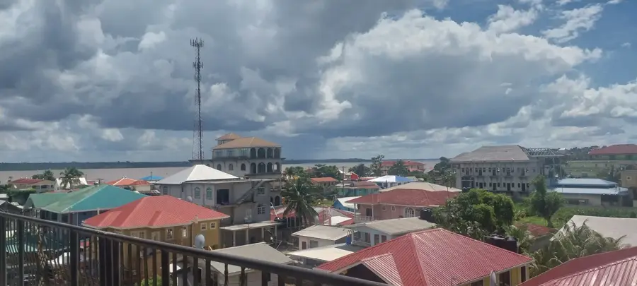
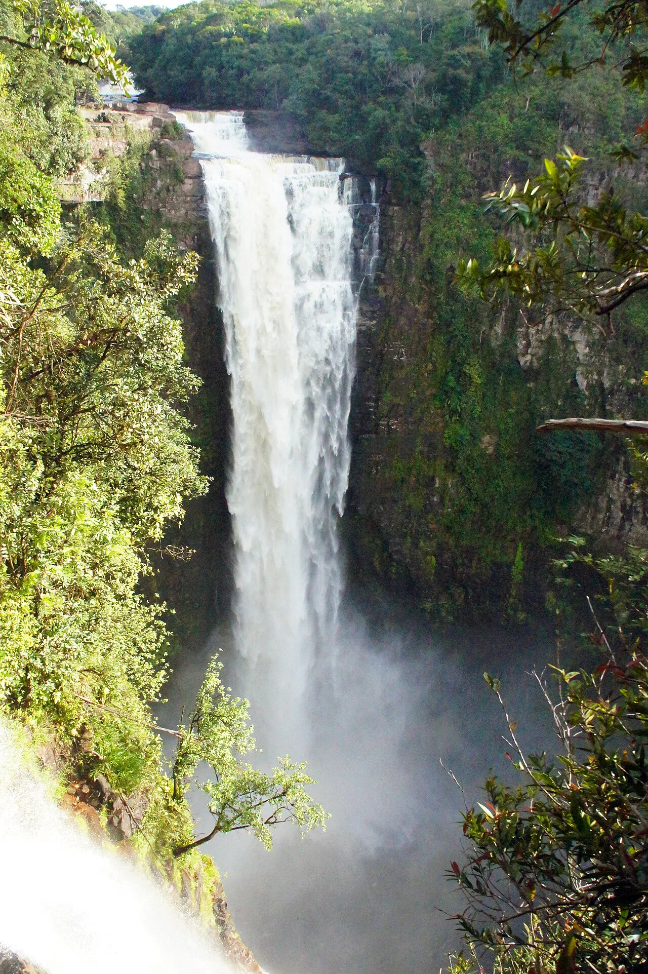
The Mazaruni River is a major tributary of the Essequibo River in Guyana, originating in the remote Pakaraima Mountains and flowing for approximately 560 kilometers. It is renowned for its dramatic descent from the highlands, creating spectacular waterfalls such as Marshall Falls and numerous treacherous rapids. Since the late 19th century, the river has been a primary site for diamond and gold mining, attracting thousands of prospectors to its mineral-rich gravels. This economic importance led to the establishment of frontier outposts like Kamarang, which serve as supply hubs for the mining industry. The river's basin is geologically part of the ancient Guiana Shield, characterized by steep canyons and towering tepuis that harbor unique ecosystems. The indigenous Akawaio people have inhabited the banks of the Mazaruni for centuries, maintaining a deep cultural and spiritual connection to the land and water. Despite the environmental impact of mining, the river remains a symbol of Guyana's untamed interior and its vast natural wealth, flowing eventually into the Essequibo at the strategic junction of Bartica.
- Location: Guyana
- Top sights: Bartica Seventh-day Adventist Church · Start · Small drain
- Nearby: Baganara Island (5 km)
Best time to visit & climate
The most pleasant time to visit is Mar, Sep, Oct.
| Jan | Feb | Mar | Apr | May | Jun | Jul | Aug | Sep | Oct | Nov | Dec | |
|---|---|---|---|---|---|---|---|---|---|---|---|---|
| Avg °C | 25 | 25 | 26 | 26 | 26 | 25 | 25 | 26 | 26 | 26 | 26 | 26 |
| Rain mm | 166 | 116 | 97 | 141 | 295 | 267 | 262 | 175 | 89 | 88 | 146 | 216 |
📋 Practical info
Geography
Facts
- The river flows for a total distance of approximately 560 kilometers.
- It is the primary source of alluvial diamonds in Guyana.
- The river originates in the Pakaraima Mountains near the border with Brazil.
- It merges with the Cuyuni River at Bartica before entering the Essequibo.
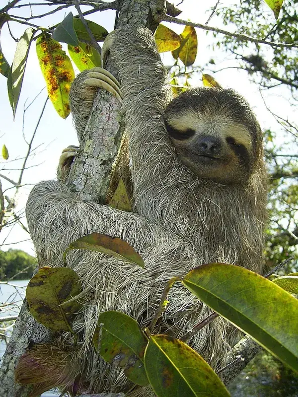
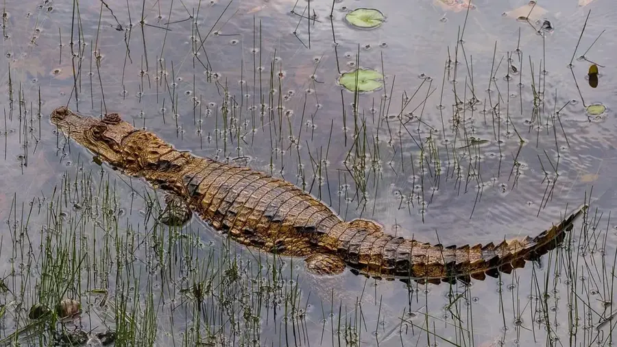
- The Upper Mazaruni region is one of the most biodiverse areas in the country.
- The river features over 30 significant rapids and falls along its course.
Explore nearby
Notable places around
Route planner — Car & Motorhome
Where do you start? We build the route here, with stops and country notes along the way.
© OpenStreetMap contributors · OpenRouteService
Sights in the town Mazaruni River (9)
Small drain
Small drainage channel at the Mazaruni River, viewpoint.
Tubing needs culvert
River spot where tubing is possible but a culvert is missing.
Bartica Full Gospel Church
Pentecostal church in Bartica, part of the Full Gospel movement.
Kingdom Hall of Jehovah's Witnesses
Meeting place of Jehovah's Witnesses in the Mazaruni region.
Church of Christ
Building of the Church of Christ, a Christian community.
Mazaruni Prison
Prison on the Mazaruni River, known for its remote location.
Sights nearby
Frequently asked questions
What is special about the Mazaruni River?
Is there a prison there?
Can diamonds be found in the Mazaruni River?
How do you reach the Mazaruni?
Is there accommodation on the river?
Mazaruni River: where is it located?
Mazaruni River: what is there to see?
Mazaruni River: when is the best time to visit?
Mazaruni River: why is it worth visiting?

Nearby cities
Nature
More places