Plizio Visual Lab
Télimélé Massif

Weather…
Water temperature…
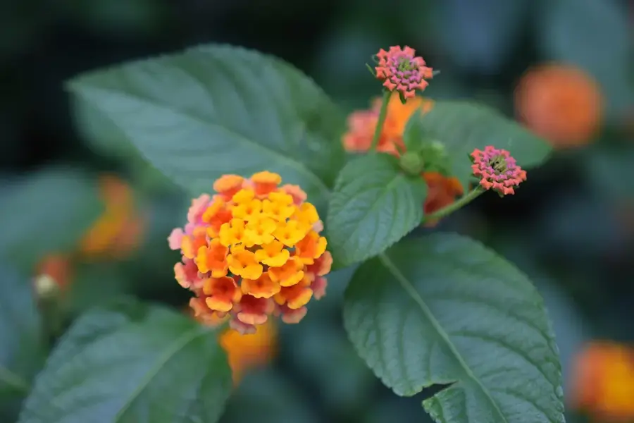
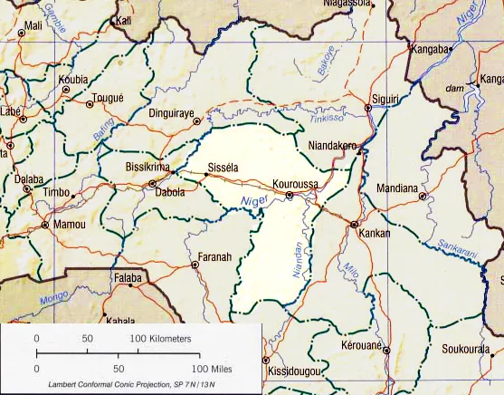
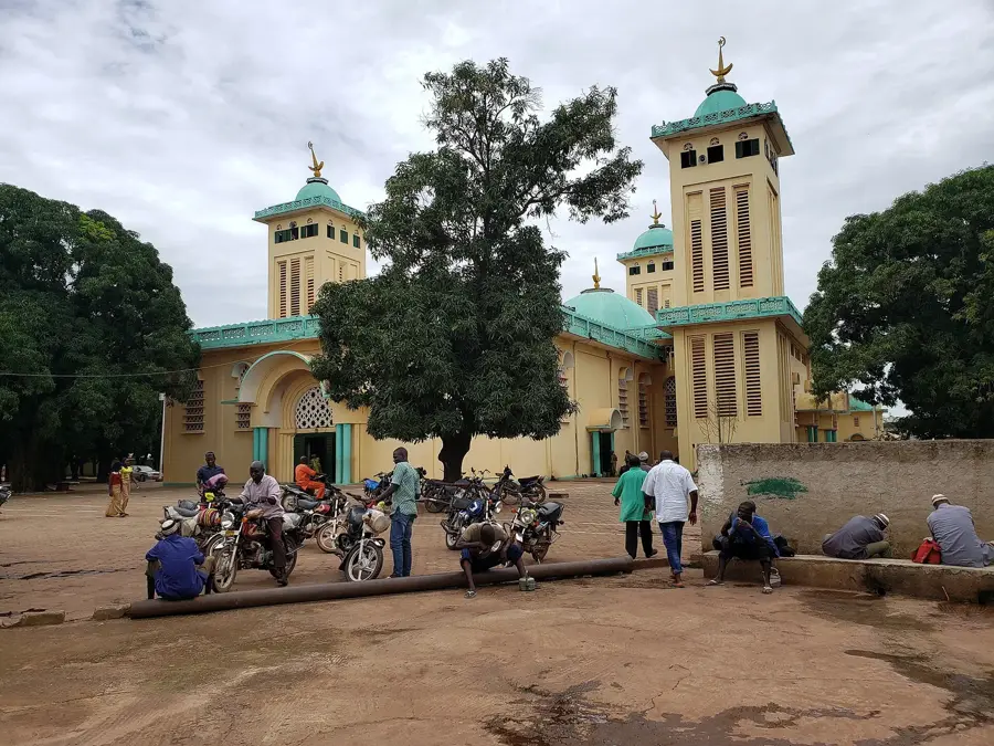
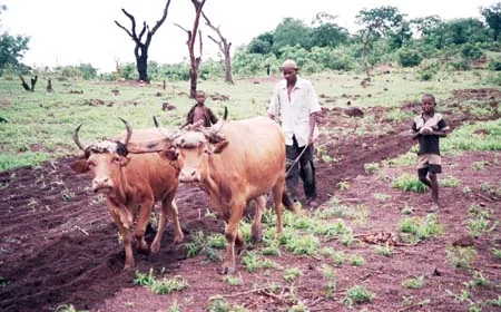
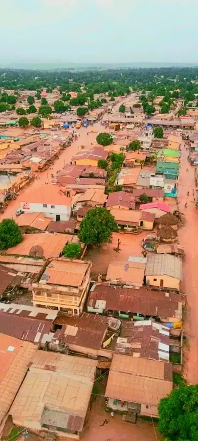
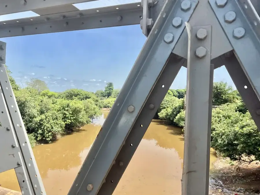
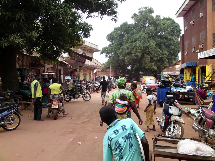
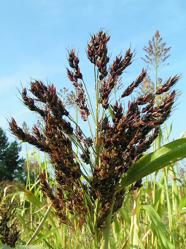
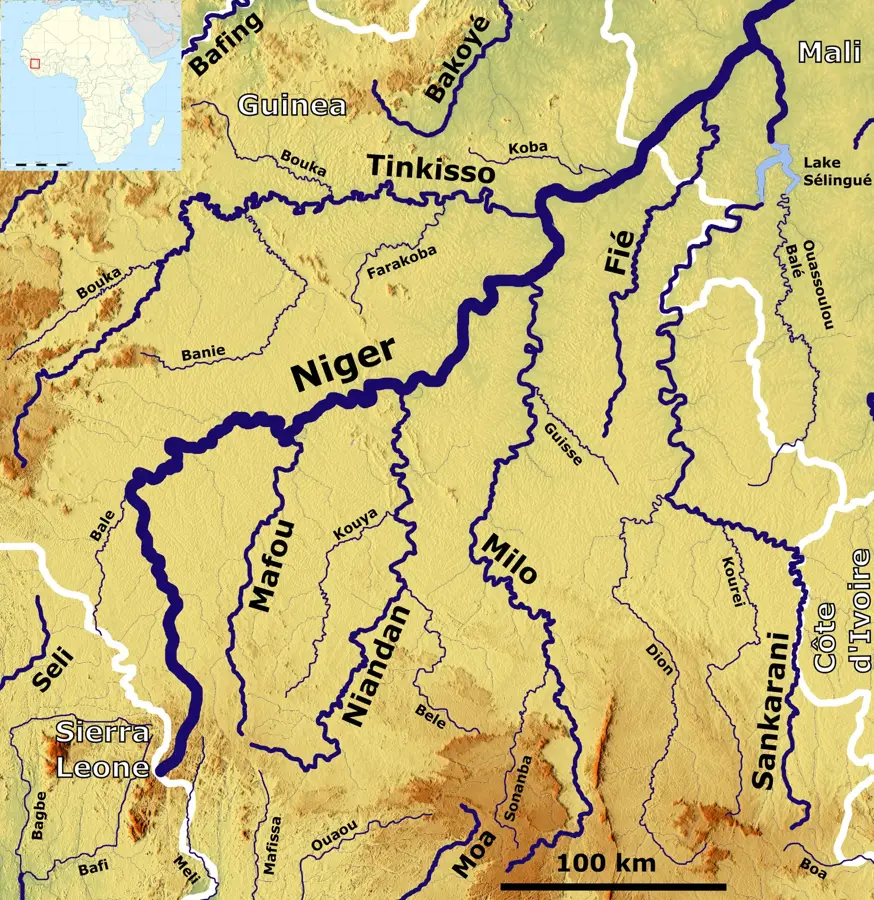
The Télimélé Massif is a rugged mountain range in western Guinea that forms a natural bridge between the coastal lowlands and the Fouta Djallon highlands. The topography is characterized by steep cliffs, deep canyons, and numerous plateaus consisting geologically of Paleozoic sandstones and intrusive dolerites. The region is famous for its spectacular waterfalls and caves, some of which historically served as refuges. Thanks to the high rainfall, the massif is covered with dense tropical forest home to a rich biodiversity of primates and birds. The climate is humid tropical, with the high elevations often shrouded in clouds. Inhabitants engage in agriculture in the fertile valleys, particularly growing grain and fruit. The Télimélé Massif remains one of the wildest and most pristine regions of the country due to its difficult accessibility.
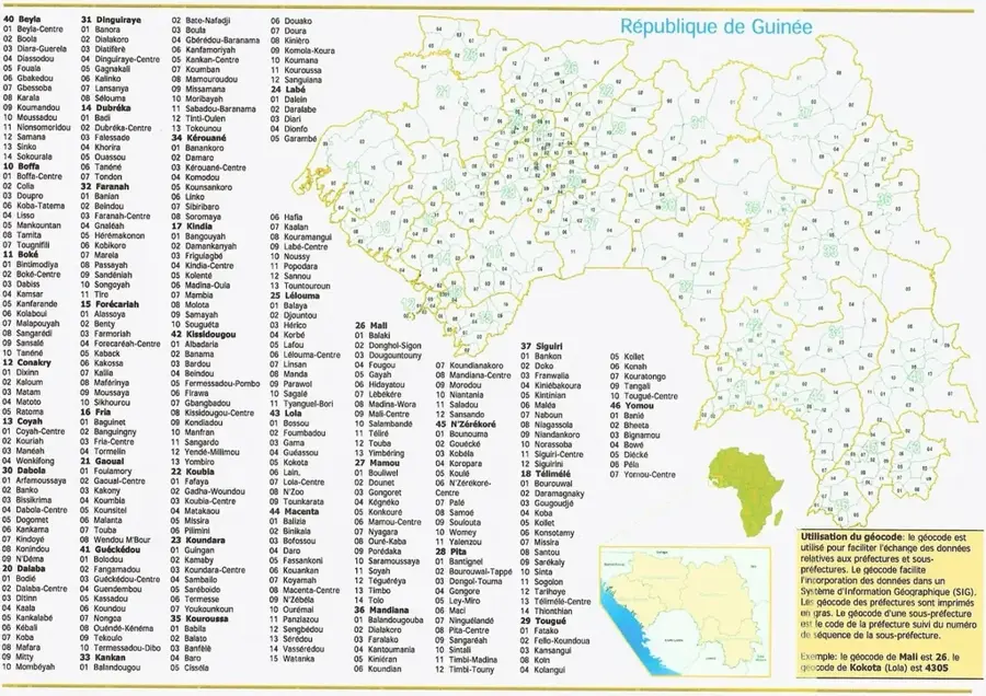
- Location: Guinea
- Nearby: Télimélé (14 km)
Best time to visit & climate
The most pleasant time to visit is Jan, Nov, Dec.
| Jan | Feb | Mar | Apr | May | Jun | Jul | Aug | Sep | Oct | Nov | Dec | |
|---|---|---|---|---|---|---|---|---|---|---|---|---|
| Avg °C | 27 | 29 | 30 | 30 | 29 | 26 | 24 | 24 | 24 | 25 | 25 | 25 |
| Rain mm | 1 | 2 | 3 | 15 | 99 | 267 | 551 | 652 | 403 | 171 | 28 | 0 |
📋 Practical info
Geography
Facts
- The highest peaks reach about 1,100m.
- Important habitat for the West African chimpanzee.
- The region is rich in bauxite and iron ore deposits.
- Geologically shaped by the Hercynian orogeny.
- The town of Télimélé is strategically located in a mountain basin.
- Numerous rivers originate here and flow towards the Atlantic.
Explore nearby
Notable places around
Route planner — Car & Motorhome
Where do you start? We build the route here, with stops and country notes along the way.
© OpenStreetMap contributors · OpenRouteService
Sights nearby
Frequently asked questions
How long does a tour of the Télimélé massif take?
Are there marked hiking trails?
Is the region suitable for nature photography?
How is safety in the massif?
Is there wildlife to observe?
Télimélé Massif: where is it located?
Télimélé Massif: when is the best time to visit?
Télimélé Massif: why is it worth visiting?

Nearby cities


History & landmarks
Nature
More places