Plizio Visual Lab
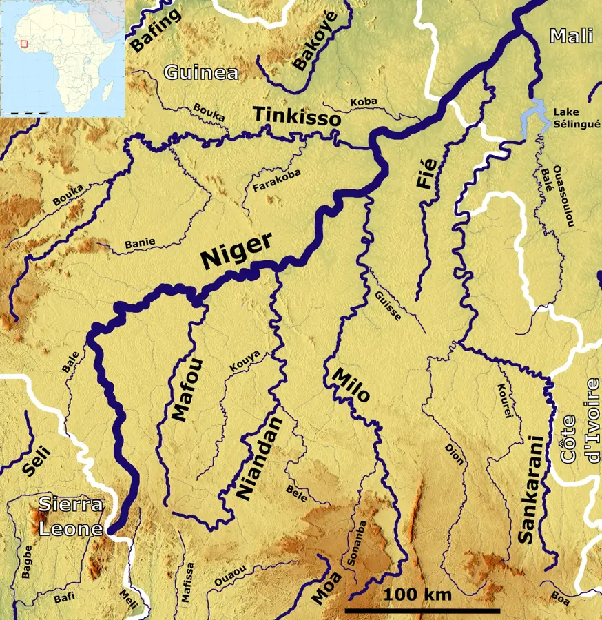
Sankarani
Weather…
Water temperature…
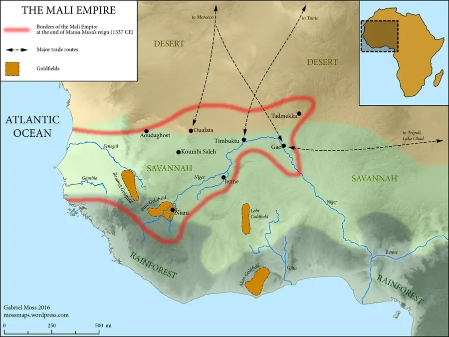
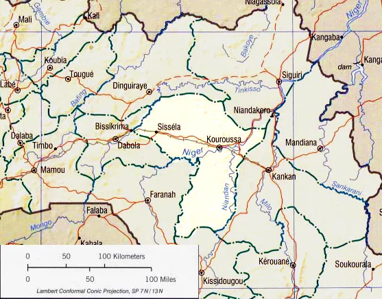
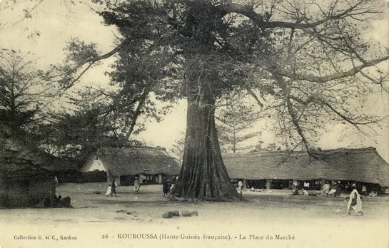
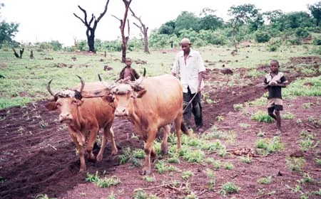
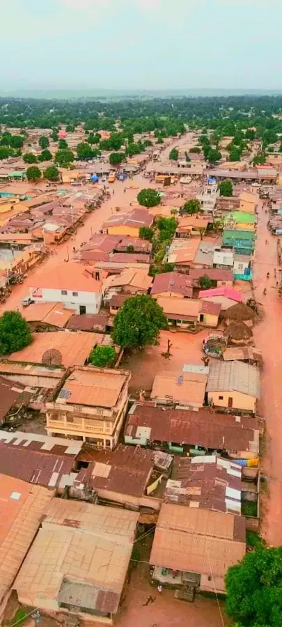
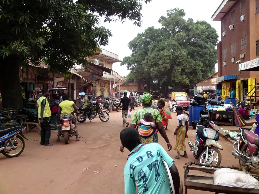
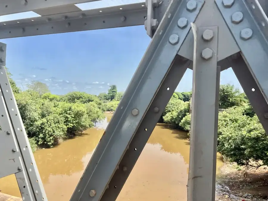
The Sankarani is one of the Niger River's most significant tributaries and a vital waterway in eastern Guinea. Geographically, the river originates in the highlands of Forested Guinea and flows northward through the Mandiana Prefecture before crossing the border into Mali. The Sankarani is characterized by its meandering course and vast, fertile valleys that form the backbone of local agriculture. The river is globally recognized due to the Sélingué Dam (in Mali), whose massive reservoir extends far back into Guinean territory, permanently altering the surrounding landscape. Historically, the Sankarani basin was the heartland of the Mali Empire, with the legendary capital, Niani, situated along its banks. Today, life along the river is defined by a mix of traditional fishing, intensive rice farming, and recently, artisanal gold mining in its alluvial deposits. Economically, the Sankarani is indispensable for regional trade and food security in Upper Guinea. Ecologically, the river provides essential habitats for water birds and hippos, though it faces environmental pressures from mining and siltation. For visitors, the Sankarani presents a scene of timeless beauty, reflecting the deep historical and natural connection between Guinea and its Sahelian neighbors.
Best time to visit & climate
The most pleasant time to visit is Jan, Nov, Dec.
| Jan | Feb | Mar | Apr | May | Jun | Jul | Aug | Sep | Oct | Nov | Dec | |
|---|---|---|---|---|---|---|---|---|---|---|---|---|
| Avg °C | 25 | 28 | 31 | 32 | 31 | 28 | 26 | 25 | 25 | 26 | 26 | 25 |
| Rain mm | 2 | 1 | 3 | 33 | 75 | 156 | 236 | 313 | 241 | 76 | 4 | 0 |
📋 Practical info
Geography
Facts
- The Sankarani is a primary feeder for the middle Niger River in Mali.
- It acts as a natural international boundary between Guinea and Mali for several kilometers.
- The river's flood-pulse sustains large-scale flood-recession agriculture.
- Historically, the Sankarani was the spiritual and political axis of the Mali Empire.
- The alluvial plains are famous for producing some of the highest-grade gold in Guinea.
- It is a major route for artisanal pirogue transport between Mandiana and Bamako.
Explore nearby
Notable places around
Route planner — Car & Motorhome
Where do you start? We build the route here, with stops and country notes along the way.
© OpenStreetMap contributors · OpenRouteService
Sights nearby
Frequently asked questions
Where does the Sankarani flow?
What historical significance does the river have?
Are there dams on the Sankarani?
Can you pan for gold on the river?
What vegetation prevails there?
Sankarani: where is it located?
Sankarani: when is the best time to visit?
Sankarani: why is it worth visiting?

Nearby cities


History & landmarks
Nature
More places