Plizio Visual Lab
Kérouané
ℹ️Practical info — Kérouané
▾
🌤 Weather — 5 days
📍 Nearby
Sights nearby
💡 Tips
- The region is historically part of the Wassoulou Empire; locals are proud of Samori Ture's legacy.
- Roads can be rough, especially in the rainy season, so a 4x4 vehicle is highly recommended.
- Always negotiate prices respectfully at the local markets.
- Cash is essential here; ensure you have enough Guinean Francs before arriving.
🍽 Food
A tangy chicken dish often served at small local eateries.
Try this traditional Guinean rice and sauce staple in local maquis (small restaurants).
Buy mangoes or bananas directly from vendors at the central market.
🛍 Shopping · 🧘 Quiet spots
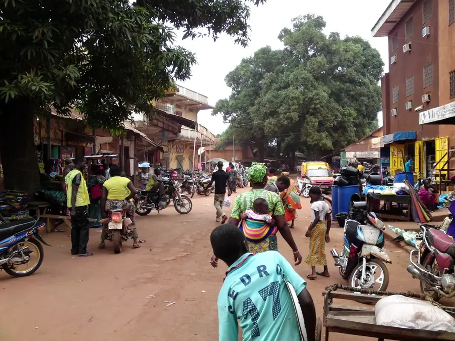
A bustling hub for buying local produce, colorful textiles, and daily goods.
Look for wooden carvings and local pottery made by regional artisans.
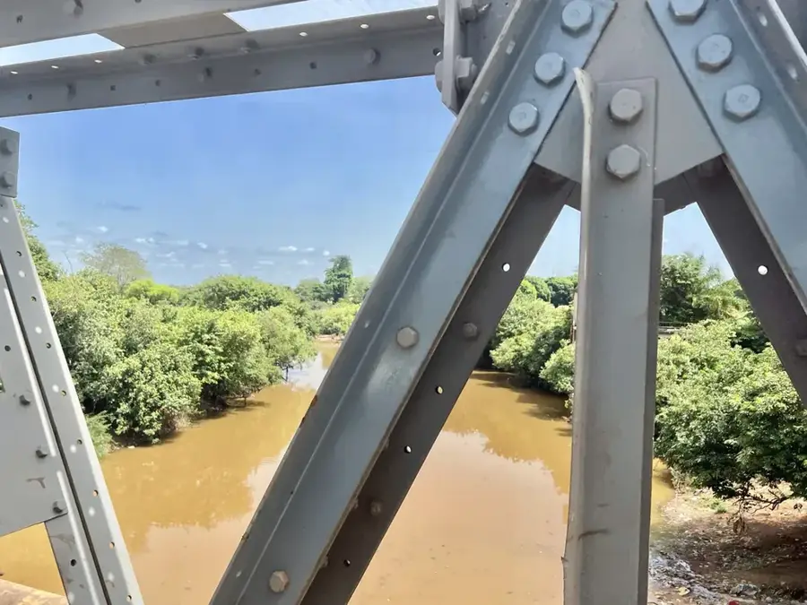
Take a walk along the river for a tranquil escape from the town's bustle.
The surrounding savanna gives peaceful spots for quiet observation.
Water temperature…
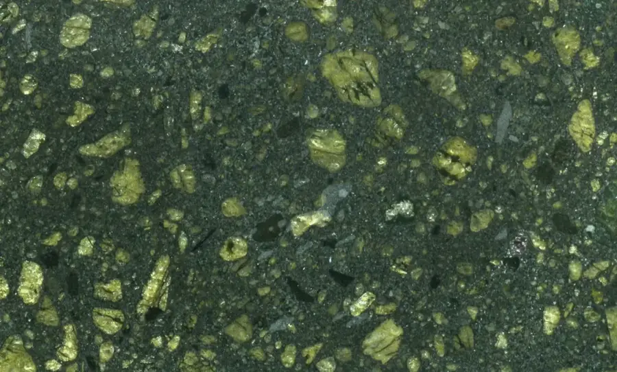
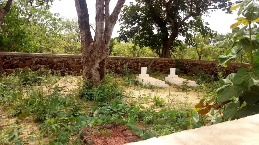
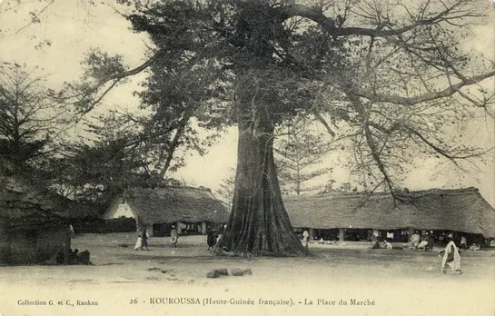
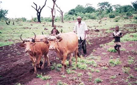
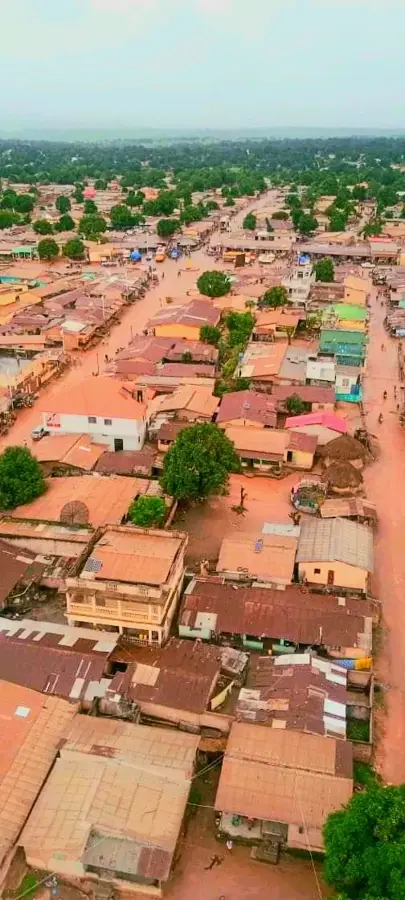
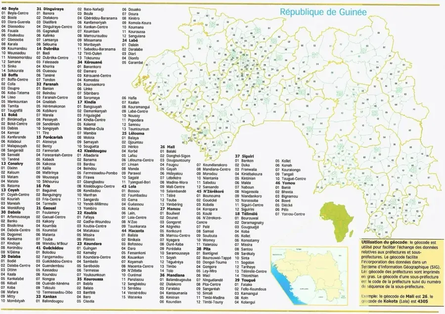
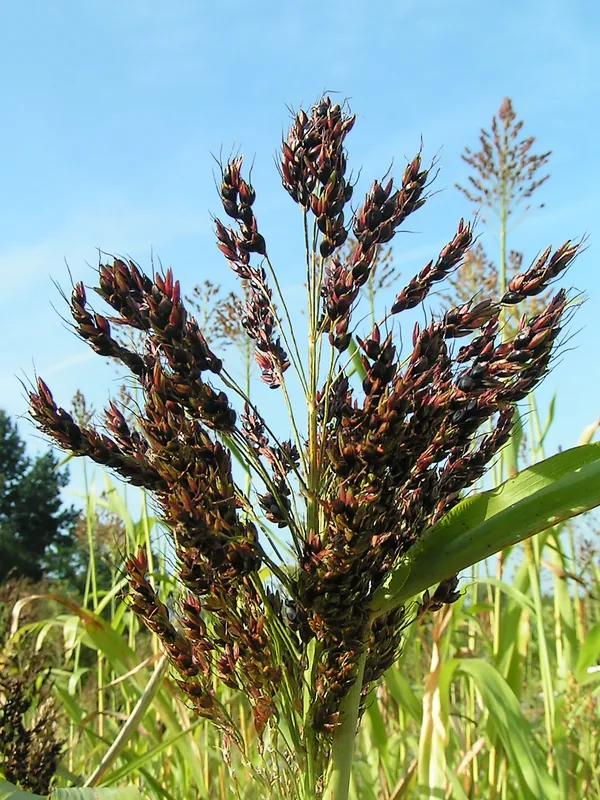
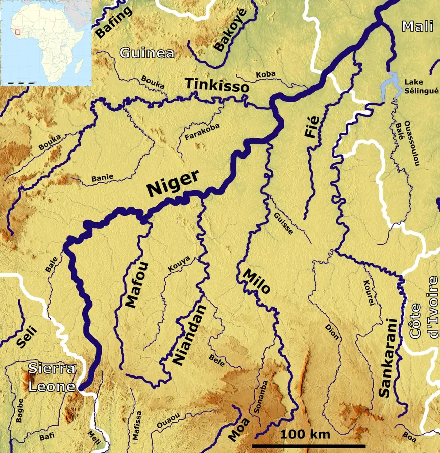
Kérouané is a historic town in eastern Guinea, located within the Kankan Region. It is strategically situated in the Milo River basin and is famous for its proximity to the Simandou mountains, home to one of the world's largest untapped deposits of high-grade iron ore. Historically, Kérouané gained prominence in the 19th century as a key military stronghold for Samori Touré, the founder of the Wassoulou Empire, who used the town as a base of resistance against French colonial forces. Remnants of his fortifications can still be found in the area. Today, the town's economy is driven by diamond and gold mining, as well as agriculture, with local markets dealing in rice, cassava, and yams. Kérouané is currently on the brink of significant economic change due to the Simandou iron ore project, which is set to bring new railway infrastructure to the region. Culturally, the town is deeply rooted in Malinké traditions, where the art of the griots and oral histories of past empires continue to play a vital role in community life.
- Location: Guinea
- Nearby: Banankoro (31 km)
- Population: ~26.990 (2023)
Best time to visit & climate
The most pleasant time to visit is Jan, Nov, Dec.
| Jan | Feb | Mar | Apr | May | Jun | Jul | Aug | Sep | Oct | Nov | Dec | |
|---|---|---|---|---|---|---|---|---|---|---|---|---|
| Avg °C | 24 | 26 | 28 | 28 | 27 | 26 | 25 | 24 | 24 | 25 | 25 | 23 |
| Rain mm | 3 | 14 | 38 | 74 | 104 | 158 | 188 | 280 | 199 | 105 | 24 | 3 |
Geography
Facts
- Kérouané was a vital military stronghold for the 19th-century leader Samori Touré.
- The town is located on the Milo River, an important tributary of the Niger.
- The surrounding region is highly rich in alluvial diamond deposits.
- Kérouané is central to the upcoming Trans-Guinean railway for iron ore export.
- The population is predominantly Malinké, with a strong tradition of oral history.
- The town connects the regional centers of Kankan and Beyla via the N1 highway.
Explore nearby
Notable places around
Route planner — Car & Motorhome
Where do you start? We build the route here, with stops and country notes along the way.
© OpenStreetMap contributors · OpenRouteService
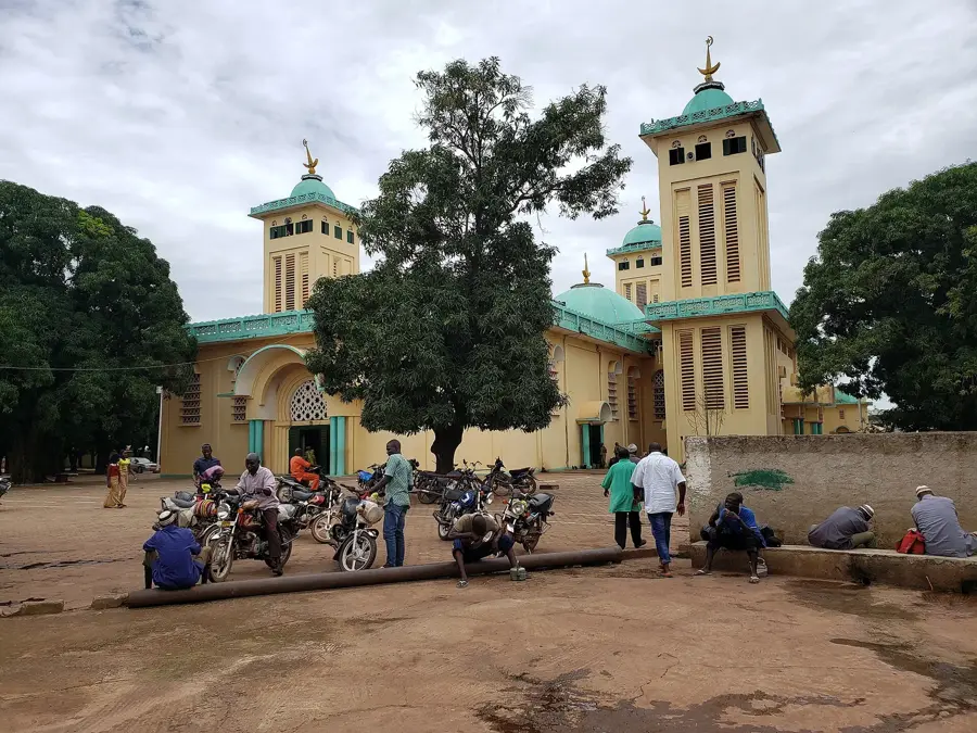
Sights in the town Kérouané (1)
Frequently asked questions
What historical significance does Kérouané have?
Are there mineral resources in Kérouané?
What can you visit in the city?
What is the road connection like?
What culture predominates here?
Kérouané: where is it located?
Kérouané: when is the best time to visit?
Kérouané: why is it worth visiting?

Nearby cities


History & landmarks
Nature
More places