Plizio Visual Lab
Kouroussa Niger Bridge
Weather…
Water temperature…
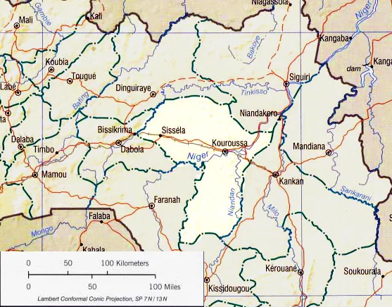
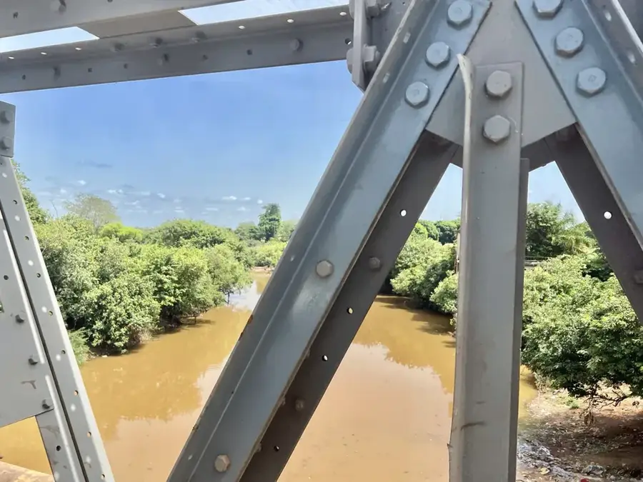
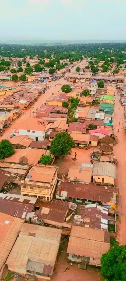
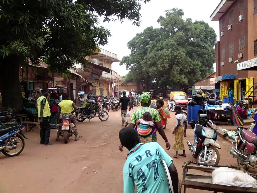
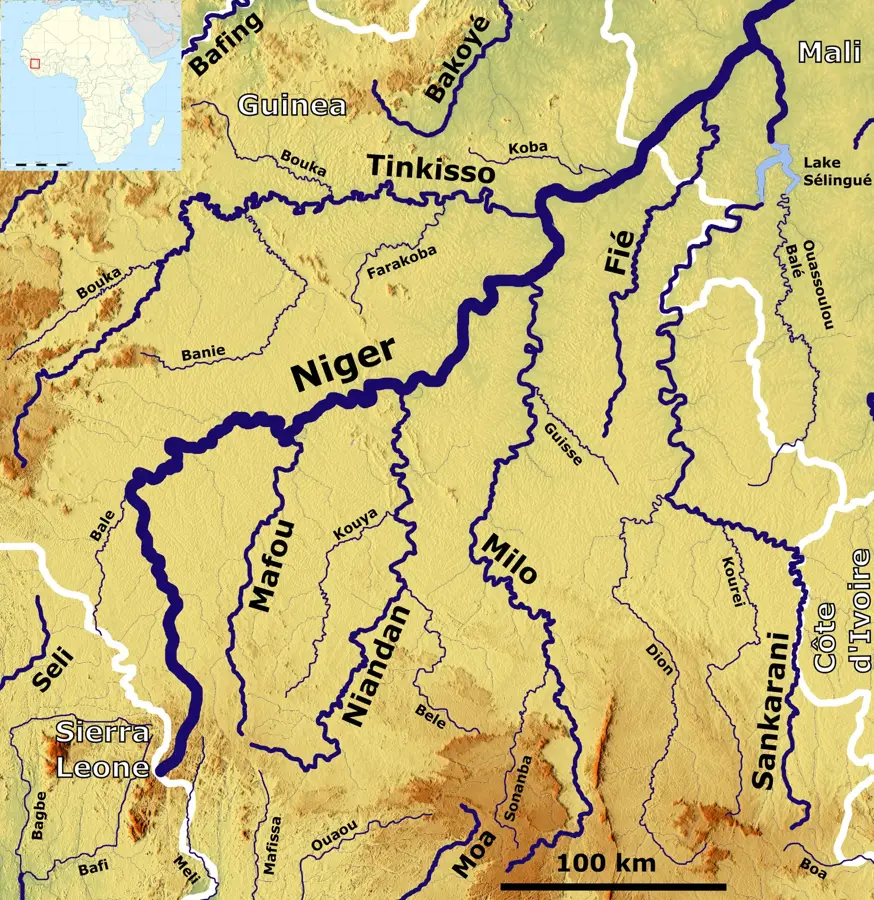
The Kouroussa Niger Bridge is a strategically vital engineering structure in Upper Guinea, linking the town of Kouroussa to the eastern regions of the country. Geographically, the bridge spans the upper reaches of the Niger River, which at this point exhibits a significant width. As a critical component of the N1 national highway, it is the primary land link between the capital, Conakry, and Guinea's second-largest city, Kankan, as well as the main route toward Mali. The bridge's architecture is functional and robust, engineered to withstand heavy commercial traffic and the dramatic seasonal fluctuations of the Niger's water levels. Historically, its completion was a milestone in the development of Guinea's interior, ending the reliance on slow and unreliable ferry services. Economically, the bridge is indispensable for the transport of mining resources and regional agricultural trade. The view from the bridge has a spectacular look at the Niger River, highlighting its importance as the region's lifeblood. It also serves as a symbol of national integration, overcoming the formidable geographic barrier of the great river. Near the bridge, fishermen in traditional pirogues are a common sight, blending Guinea's ancient traditions with modern infrastructure.
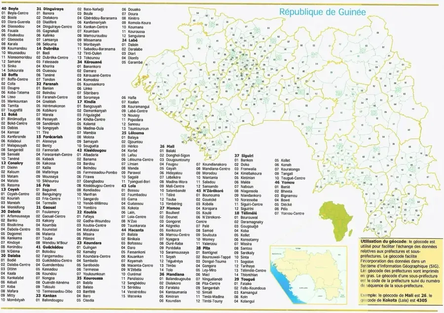
- Location: Guinea
- Top sights: Kouroukoro · Kouroussa · Kouroussa Prefecture
- Nearby: Sanguiana (36 km)
Best time to visit & climate
The most pleasant time to visit is Jan, Nov, Dec.
| Jan | Feb | Mar | Apr | May | Jun | Jul | Aug | Sep | Oct | Nov | Dec | |
|---|---|---|---|---|---|---|---|---|---|---|---|---|
| Avg °C | 24 | 27 | 30 | 30 | 29 | 27 | 25 | 24 | 25 | 26 | 25 | 24 |
| Rain mm | 4 | 16 | 9 | 49 | 113 | 209 | 275 | 358 | 272 | 100 | 15 | 2 |
📋 Practical info
Geography
Facts
- The bridge is a major bottleneck for traffic moving between West and East Guinea.
- It crosses the Niger River at one of its most historically significant points.
- The bridge was built with cooperation from international engineering firms.
- During peak floods, the river level rises dramatically near the bridge deck.
- It remains the only permanent Niger River crossing in the entire Kouroussa region.
- The structure is vital for landlocked Mali's access to the Atlantic coast.
Explore nearby
Notable places around
Route planner — Car & Motorhome
Where do you start? We build the route here, with stops and country notes along the way.
© OpenStreetMap contributors · OpenRouteService
Sights in the town Kouroussa Niger Bridge (3)
Sights nearby
Frequently asked questions
Can you stop and take photos on the bridge?
Which river does the bridge cross?
Is the bridge safe for pedestrians?
When was the bridge built?
Are there tolls?
Kouroussa Niger Bridge: where is it located?
Kouroussa Niger Bridge: what is there to see?
Kouroussa Niger Bridge: when is the best time to visit?
Kouroussa Niger Bridge: why is it worth visiting?

Nearby cities


History & landmarks
Nature
More places